
| Memorials | : | 3 |
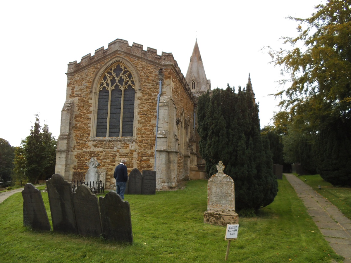
| Location | : | Hallaton, Harborough District, England |
| Coordinate | : | 52.5609190, -0.8411740 |
frequently asked questions (FAQ):
-
Where is St Michael and All Angels Churchyard?
St Michael and All Angels Churchyard is located at Hallaton, Harborough District ,Leicestershire ,England.
-
St Michael and All Angels Churchyard cemetery's updated grave count on graveviews.com?
3 memorials
-
Where are the coordinates of the St Michael and All Angels Churchyard?
Latitude: 52.5609190
Longitude: -0.8411740
Nearby Cemetories:
1. All Saints Churchyard
Slawston, Harborough District, England
Coordinate: 52.5428240, -0.8500170
2. St. John the Baptist Churchyard
Goadby, Harborough District, England
Coordinate: 52.5497940, -0.8783680
3. St Giles Churchyard
Medbourne, Harborough District, England
Coordinate: 52.5296410, -0.8226870
4. St. John the Baptist Church Graveyard
Glooston, Harborough District, England
Coordinate: 52.5547690, -0.8959280
5. St Mary's Churchyard
Nevill Holt, Harborough District, England
Coordinate: 52.5350180, -0.7977290
6. St Andrew's Churchyard
Welham, Harborough District, England
Coordinate: 52.5246240, -0.8733420
7. St. Peter's Churchyard
Stockerston, Harborough District, England
Coordinate: 52.5687800, -0.7706600
8. St. Thomas A. Becket Churchyard
Tugby, Harborough District, England
Coordinate: 52.6015640, -0.8766340
9. Noseley Parish Church
Noseley, Harborough District, England
Coordinate: 52.5792690, -0.9129710
10. St Peter Churchyard
Belton, Rutland Unitary Authority, England
Coordinate: 52.6038200, -0.7957000
11. Thorpe Langton, St Leonard's Churchyard
Thorpe Langton, Harborough District, England
Coordinate: 52.5247101, -0.9104123
12. St Andrew Churchyard
Stoke Dry, Rutland Unitary Authority, England
Coordinate: 52.5620632, -0.7394099
13. Saint Nicholas Cemetery
Bringhurst, Harborough District, England
Coordinate: 52.5216700, -0.7614220
14. St. Peter's Churchyard
Church Langton, Harborough District, England
Coordinate: 52.5335260, -0.9337150
15. St. Andrew's Churchyard
Great Easton, Harborough District, England
Coordinate: 52.5288590, -0.7525630
16. St. Andrew Churchyard Extension
Hallaton, Harborough District, England
Coordinate: 52.5308470, -0.7505850
17. Saint Nicholas Churchyard
Bringhurst, Harborough District, England
Coordinate: 52.5208900, -0.7613600
18. St. Nicholas Church
Shangton, Harborough District, England
Coordinate: 52.5573280, -0.9458070
19. Independant Chapel Cemetery
Great Easton, Harborough District, England
Coordinate: 52.5268820, -0.7472440
20. St. Andrews Churchyard
Tur Langton, Harborough District, England
Coordinate: 52.5442400, -0.9493500
21. St Thomas a Becket Churchyard
Skeffington, Harborough District, England
Coordinate: 52.6163920, -0.9063090
22. Leicester Road Cemetery
Uppingham, Rutland Unitary Authority, England
Coordinate: 52.5975766, -0.7413414
23. Launde Abbey
Launde, Harborough District, England
Coordinate: 52.6313950, -0.8233060
24. St Michael and All Angels
Illston-on-the-Hill, Harborough District, England
Coordinate: 52.5870520, -0.9583040