
| Memorials | : | 0 |
| Location | : | Great Haywood, Stafford Borough, England |
| Coordinate | : | 52.8004360, -2.0049890 |
| Description | : | Great Haywood is a village in central Staffordshire, England, just off the A51 about four miles from Rugeley. Great Haywood lies on the River Trent, where the Trent is met by its tributary, the River Sow. The village is also the site of a significant junction of the English inland canal network, Haywood Junction, where the Staffordshire and Worcestershire Canal meets the Trent and Mersey Canal. |
frequently asked questions (FAQ):
-
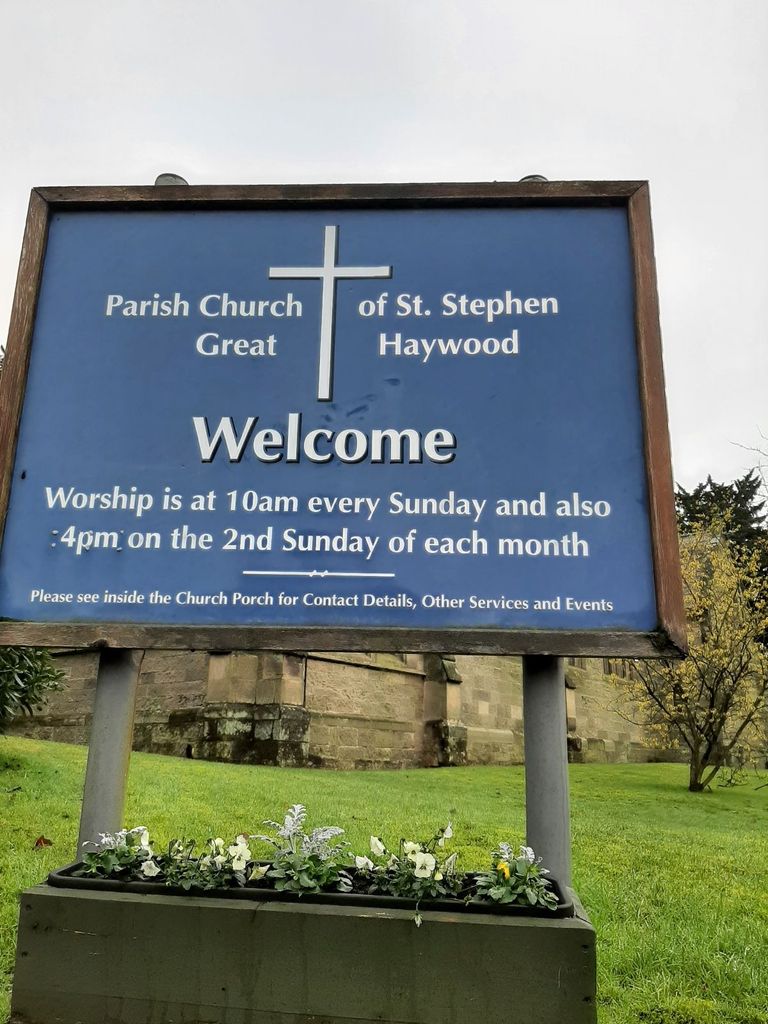
Where is St Stephen Churchyard?
St Stephen Churchyard is located at Main Road Great Haywood, Stafford Borough ,Staffordshire , ST18 0SUEngland.
-
St Stephen Churchyard cemetery's updated grave count on graveviews.com?
0 memorials
-
Where are the coordinates of the St Stephen Churchyard?
Latitude: 52.8004360
Longitude: -2.0049890
Nearby Cemetories:
1. Saint Mary's Abbey
Colwich, Stafford Borough, England
Coordinate: 52.7900000, -1.9895000
2. St. Michael and All Angels Church
Colwich, Stafford Borough, England
Coordinate: 52.7876070, -1.9853500
3. St Mary The Virgin Churchyard
Ingestre, Stafford Borough, England
Coordinate: 52.8196420, -2.0361510
4. St. Peter's Churchyard
Hixon, Stafford Borough, England
Coordinate: 52.8273830, -2.0004581
5. Stafford Crematorium and Burial Ground
Stafford, Stafford Borough, England
Coordinate: 52.8080900, -2.0747420
6. St. Andrew's Church
Weston, Stafford Borough, England
Coordinate: 52.8412239, -2.0391501
7. Rugeley Cemetery
Rugeley, Cannock Chase District, England
Coordinate: 52.7650720, -1.9370440
8. The Old Chancel
Rugeley, Cannock Chase District, England
Coordinate: 52.7648400, -1.9355010
9. St. Augustine's Churchyard
Rugeley, Cannock Chase District, England
Coordinate: 52.7644253, -1.9345868
10. St Peter's Church
Gayton, Stafford Borough, England
Coordinate: 52.8540363, -2.0327095
11. St James the Great Church
Salt, Stafford Borough, England
Coordinate: 52.8483296, -2.0701182
12. Cannock Chase German Military Cemetery
Cannock, Cannock Chase District, England
Coordinate: 52.7370580, -2.0265050
13. Cannock Chase War Cemetery
Cannock, Cannock Chase District, England
Coordinate: 52.7370710, -2.0266340
14. St Chad
Stafford, Stafford Borough, England
Coordinate: 52.8061611, -2.1165797
15. Stafford Prison Cemetery
Stafford, Stafford Borough, England
Coordinate: 52.8122341, -2.1166098
16. Stile Cop Cemetery
Rugeley, Cannock Chase District, England
Coordinate: 52.7423710, -1.9448220
17. St. Mary's Churchyard
Stafford, Stafford Borough, England
Coordinate: 52.8057000, -2.1187000
18. St. James Churchyard
Acton Trussell, South Staffordshire Borough, England
Coordinate: 52.7546980, -2.0943120
19. All Saints Churchyard
Sandon, Stafford Borough, England
Coordinate: 52.8628160, -2.0696270
20. Eccleshall Road Cemetery
Stafford, Stafford Borough, England
Coordinate: 52.8158760, -2.1252976
21. St. Michael's Churchyard
Brereton, Cannock Chase District, England
Coordinate: 52.7451169, -1.9228718
22. St. Nicholas Churchyard
Abbots Bromley, East Staffordshire Borough, England
Coordinate: 52.8184560, -1.8837460
23. Hawkesyard Priory
Rugeley, Cannock Chase District, England
Coordinate: 52.7439175, -1.9032955
24. St. John the Baptist Churchyard
Kingstone, East Staffordshire Borough, England
Coordinate: 52.8630944, -1.9115108