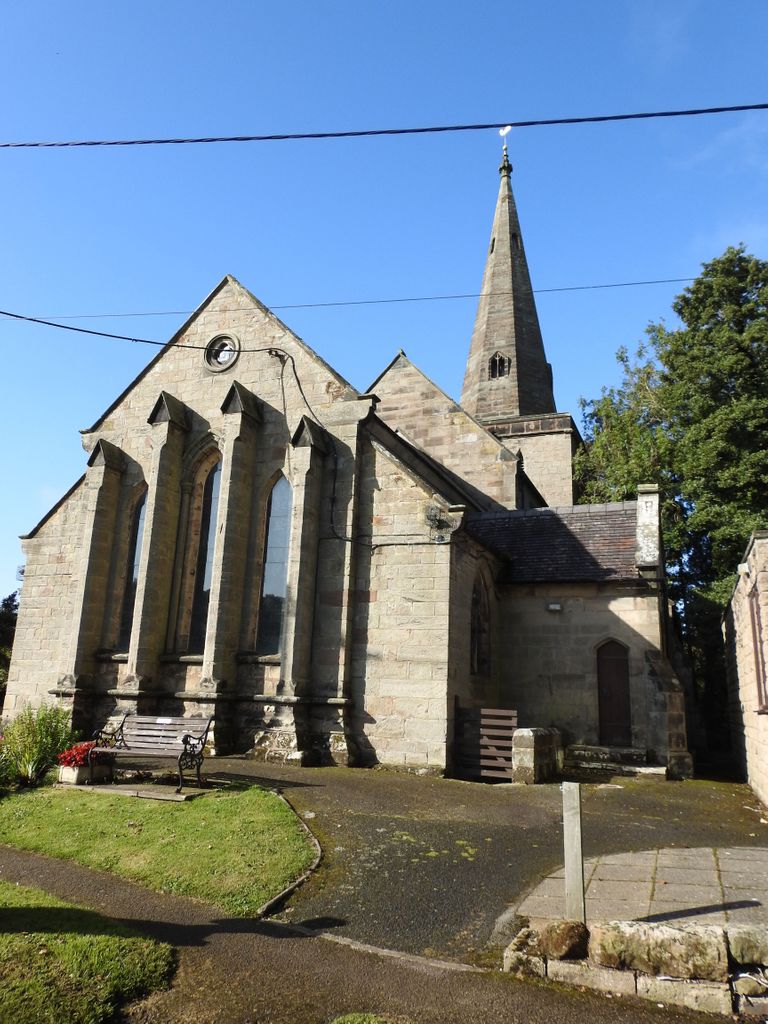
| Memorials | : | 0 |
| Location | : | Weston, Stafford Borough, England |
| Coordinate | : | 52.8412239, -2.0391501 |
frequently asked questions (FAQ):
-
Where is St. Andrew's Church?
St. Andrew's Church is located at Stafford Road Weston, Stafford Borough ,Staffordshire , ST18 0HXEngland.
-
St. Andrew's Church cemetery's updated grave count on graveviews.com?
0 memorials
-
Where are the coordinates of the St. Andrew's Church?
Latitude: 52.8412239
Longitude: -2.0391501
Nearby Cemetories:
1. St Peter's Church
Gayton, Stafford Borough, England
Coordinate: 52.8540363, -2.0327095
2. St James the Great Church
Salt, Stafford Borough, England
Coordinate: 52.8483296, -2.0701182
3. St Mary The Virgin Churchyard
Ingestre, Stafford Borough, England
Coordinate: 52.8196420, -2.0361510
4. St. Peter's Churchyard
Hixon, Stafford Borough, England
Coordinate: 52.8273830, -2.0004581
5. All Saints Churchyard
Sandon, Stafford Borough, England
Coordinate: 52.8628160, -2.0696270
6. Stafford Crematorium and Burial Ground
Stafford, Stafford Borough, England
Coordinate: 52.8080900, -2.0747420
7. All Saints Churchyard
Milwich, Stafford Borough, England
Coordinate: 52.8852590, -2.0443610
8. St Stephen Churchyard
Great Haywood, Stafford Borough, England
Coordinate: 52.8004360, -2.0049890
9. Stafford Prison Cemetery
Stafford, Stafford Borough, England
Coordinate: 52.8122341, -2.1166098
10. Eccleshall Road Cemetery
Stafford, Stafford Borough, England
Coordinate: 52.8158760, -2.1252976
11. St Chad
Stafford, Stafford Borough, England
Coordinate: 52.8061611, -2.1165797
12. Saint Mary's Abbey
Colwich, Stafford Borough, England
Coordinate: 52.7900000, -1.9895000
13. St. Mary's Churchyard
Stafford, Stafford Borough, England
Coordinate: 52.8057000, -2.1187000
14. St. Michael and All Angels Church
Colwich, Stafford Borough, England
Coordinate: 52.7876070, -1.9853500
15. St Saviour Churchyard
Aston-by-Stone, Stafford Borough, England
Coordinate: 52.8841410, -2.1283140
16. Christ Church Churchyard
Hilderstone, Stafford Borough, England
Coordinate: 52.9100990, -2.0755470
17. Stone Cemetery
Stone, Stafford Borough, England
Coordinate: 52.8874860, -2.1369430
18. St. John the Baptist Churchyard
Kingstone, East Staffordshire Borough, England
Coordinate: 52.8630944, -1.9115108
19. St. Michael and St. Wulfad Churchyard
Stone, Stafford Borough, England
Coordinate: 52.9016030, -2.1433420
20. Stone Priory
Stone, Stafford Borough, England
Coordinate: 52.9013610, -2.1441120
21. All Saints Churchyard
Leigh, East Staffordshire Borough, England
Coordinate: 52.9199520, -1.9657840
22. Christ Church Churchyard
Stone, Stafford Borough, England
Coordinate: 52.9042670, -2.1477510
23. St Dominic's Convent Churchyard
Stone, Stafford Borough, England
Coordinate: 52.9106500, -2.1407000
24. St. James Churchyard
Acton Trussell, South Staffordshire Borough, England
Coordinate: 52.7546980, -2.0943120

