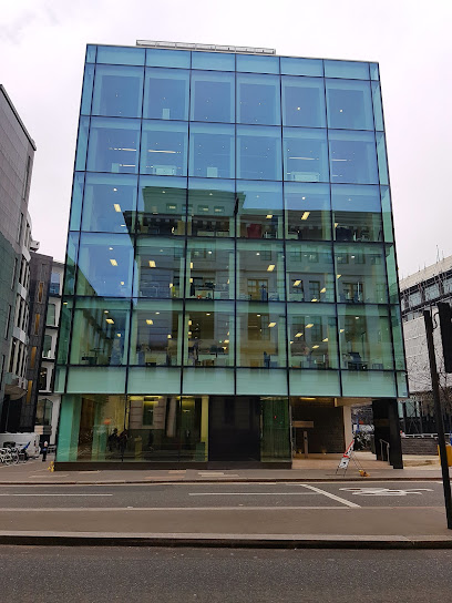
| Memorials | : | 2 |
| Location | : | Bread Street, City of London, England |
| Coordinate | : | 51.5124910, -0.0954840 |
| Description | : | St. John the Evangelist Friday Street was a church in Bread Street Ward of the City of London. It was destroyed in the Great Fire of London of 1666, and not rebuilt, the parish being united with that of All Hallows Bread Street. The church stood on the south side of Bread Street, on the corner with Friday Street. In the early 18th century, some years after the destruction of the church itself, the parish was described as covering "part of Watling Street", the number of houses being "24 and an half." The patronage of the church belonged to the... Read More |
frequently asked questions (FAQ):
-
Where is St. John the Evangelist Churchyard?
St. John the Evangelist Churchyard is located at Friday Street, Bread Street, City of London, Greater London, England Bread Street, City of London ,Greater London ,England.
-
St. John the Evangelist Churchyard cemetery's updated grave count on graveviews.com?
2 memorials
-
Where are the coordinates of the St. John the Evangelist Churchyard?
Latitude: 51.5124910
Longitude: -0.0954840
Nearby Cemetories:
1. St Mildred Bread Street Church Demolished
London, City of London, England
Coordinate: 51.5123790, -0.0950740
2. All Hallows Churchyard
London, City of London, England
Coordinate: 51.5131130, -0.0948140
3. Holy Trinity the Less Churchyard (Defunct)
London, City of London, England
Coordinate: 51.5119670, -0.0944820
4. St Nicholas Cole Abbey
London, City of London, England
Coordinate: 51.5121160, -0.0969270
5. St Mary Aldermary
London, City of London, England
Coordinate: 51.5127900, -0.0933800
6. St Mary-le-Bow
London, City of London, England
Coordinate: 51.5137100, -0.0935517
7. St James Garlickhythe Churchyard
London, City of London, England
Coordinate: 51.5111070, -0.0937560
8. Church of Saint Mary Magdalen Milk Street
London, City of London, England
Coordinate: 51.5136110, -0.0930560
9. Saint Paul's Cathedral
London, City of London, England
Coordinate: 51.5136110, -0.0983330
10. Saint Pancras Soper Lane (Defunct)
London, City of London, England
Coordinate: 51.5132830, -0.0918850
11. All Hallows Churchyard
City of London, England
Coordinate: 51.5143760, -0.0930270
12. St Antholin's Church
London, City of London, England
Coordinate: 51.5126895, -0.0915805
13. St Vedast Churchyard
London, City of London, England
Coordinate: 51.5149110, -0.0962350
14. St. Benet's Churchyard
Queenhithe, City of London, England
Coordinate: 51.5117110, -0.0993280
15. Mercers Chapel
London, City of London, England
Coordinate: 51.5141490, -0.0919390
16. St. Benet Sherehog Churchyard (Defunct)
London, City of London, England
Coordinate: 51.5132700, -0.0912020
17. St. Faith under St. Paul Churchyard and Crypt
London, City of London, England
Coordinate: 51.5142580, -0.0990860
18. St. Leonard's Churchyard
Aldgate, City of London, England
Coordinate: 51.5152950, -0.0966580
19. St Mary Colechurch (Defunct)
London, City of London, England
Coordinate: 51.5136110, -0.0911110
20. St. Martin Pomary Churchyard
Cheap, City of London, England
Coordinate: 51.5145830, -0.0918610
21. St. Lawrence Jewry Churchyard
London, City of London, England
Coordinate: 51.5152340, -0.0924910
22. Saint Mary Bothaw (Defunct)
London, City of London, England
Coordinate: 51.5114000, -0.0900800
23. St Andrew-by-the-Wardrobe
London, City of London, England
Coordinate: 51.5123850, -0.1012230
24. Saint Swithin London Stone Churchyard
London, City of London, England
Coordinate: 51.5115800, -0.0894340

