
| Memorials | : | 0 |
| Location | : | Bellerby, Richmondshire District, England |
| Coordinate | : | 54.3303200, -1.8239000 |
frequently asked questions (FAQ):
-
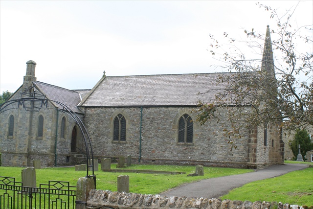
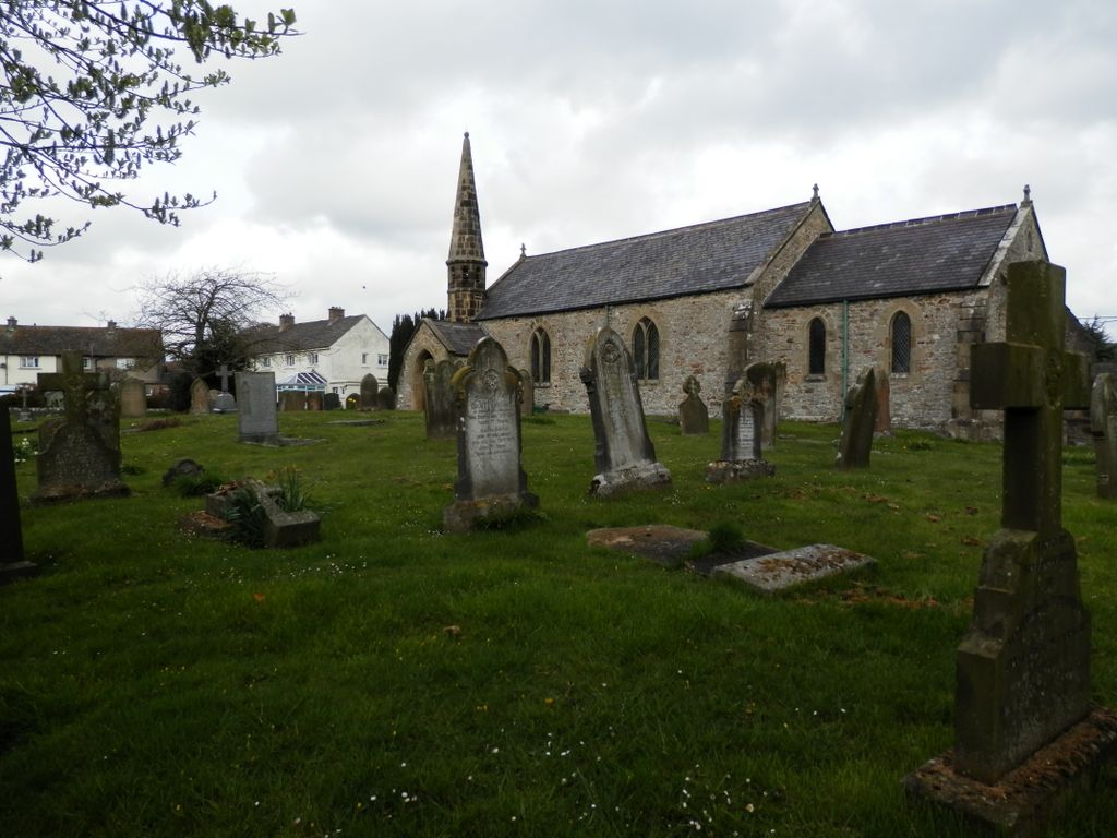
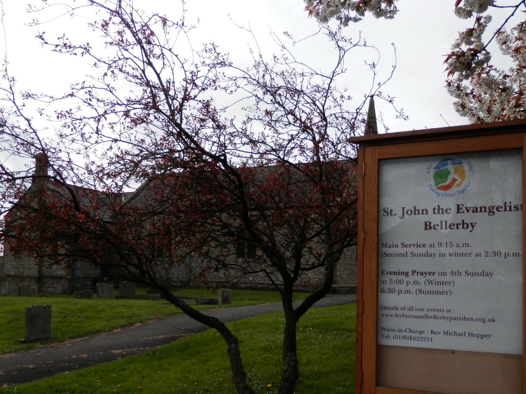
Where is St John the Evangelist Churchyard?
St John the Evangelist Churchyard is located at Church Street Bellerby, Richmondshire District ,North Yorkshire , DL8 5QLEngland.
-
St John the Evangelist Churchyard cemetery's updated grave count on graveviews.com?
0 memorials
-
Where are the coordinates of the St John the Evangelist Churchyard?
Latitude: 54.3303200
Longitude: -1.8239000
Nearby Cemetories:
1. Leyburn Cemetery
Leyburn, Richmondshire District, England
Coordinate: 54.3093030, -1.8348630
2. Spennithorne & Harmby Cemetery
Harmby, Richmondshire District, England
Coordinate: 54.3002500, -1.7989900
3. Wensley Cemetery
Wensley, Richmondshire District, England
Coordinate: 54.3013320, -1.8568169
4. Holy Trinity Churchyard
Wensley, Richmondshire District, England
Coordinate: 54.3014000, -1.8600000
5. St Michael and All Angels Churchyard Spennithorne
Spennithorne, Richmondshire District, England
Coordinate: 54.2960200, -1.7910200
6. St. Mary and St. Alkelda Churchyard
Middleham, Richmondshire District, England
Coordinate: 54.2864000, -1.8074000
7. Preston Under Scar Cemetery
Preston-under-Scar, Richmondshire District, England
Coordinate: 54.3133800, -1.8964000
8. St Michael and All Angels Churchyard
Downholme, Richmondshire District, England
Coordinate: 54.3799700, -1.8313400
9. St Oswald Churchyard
Hauxwell, Richmondshire District, England
Coordinate: 54.3333300, -1.7333300
10. St Simon and St Jude Roman Catholic Churchyard
Ulshaw Bridge, Richmondshire District, England
Coordinate: 54.2809800, -1.7771600
11. Coverham Abbey
Coverham, Richmondshire District, England
Coordinate: 54.2728510, -1.8392460
12. Holy Trinity Churchyard
Coverham, Richmondshire District, England
Coordinate: 54.2727230, -1.8429440
13. St Mary Churchyard
Redmire, Richmondshire District, England
Coordinate: 54.3126200, -1.9227400
14. St Bartholomew Churchyard
West Witton, Richmondshire District, England
Coordinate: 54.2920100, -1.9073200
15. Marrick Priory Churchyard
Marrick, Richmondshire District, England
Coordinate: 54.3758830, -1.8977990
16. St John the Evangelist Churchyard
East Witton, Richmondshire District, England
Coordinate: 54.2696020, -1.7760850
17. St Edmund the Martyr Churchyard
Marske, Richmondshire District, England
Coordinate: 54.3997500, -1.8403700
18. St. Andrew's Churchyard
Finghall, Richmondshire District, England
Coordinate: 54.3068300, -1.7085500
19. St. Oswald's Churchyard
Thornton Steward, Richmondshire District, England
Coordinate: 54.2776700, -1.7398000
20. St Michael and All Angels Churchyard
Hudswell, Richmondshire District, England
Coordinate: 54.3990300, -1.7846500
21. Reeth and Grinton Cemetery
Grinton, Richmondshire District, England
Coordinate: 54.3800400, -1.9246700
22. St. Andrew's Churchyard
Grinton, Richmondshire District, England
Coordinate: 54.3812610, -1.9305740
23. Jervaulx Abbey
East Witton, Richmondshire District, England
Coordinate: 54.2670280, -1.7379870
24. Catterick Garrison Military Cemetery
Hipswell, Richmondshire District, England
Coordinate: 54.3803100, -1.7138300