
| Memorials | : | 1 |
| Location | : | Wensley, Richmondshire District, England |
| Coordinate | : | 54.3013320, -1.8568169 |
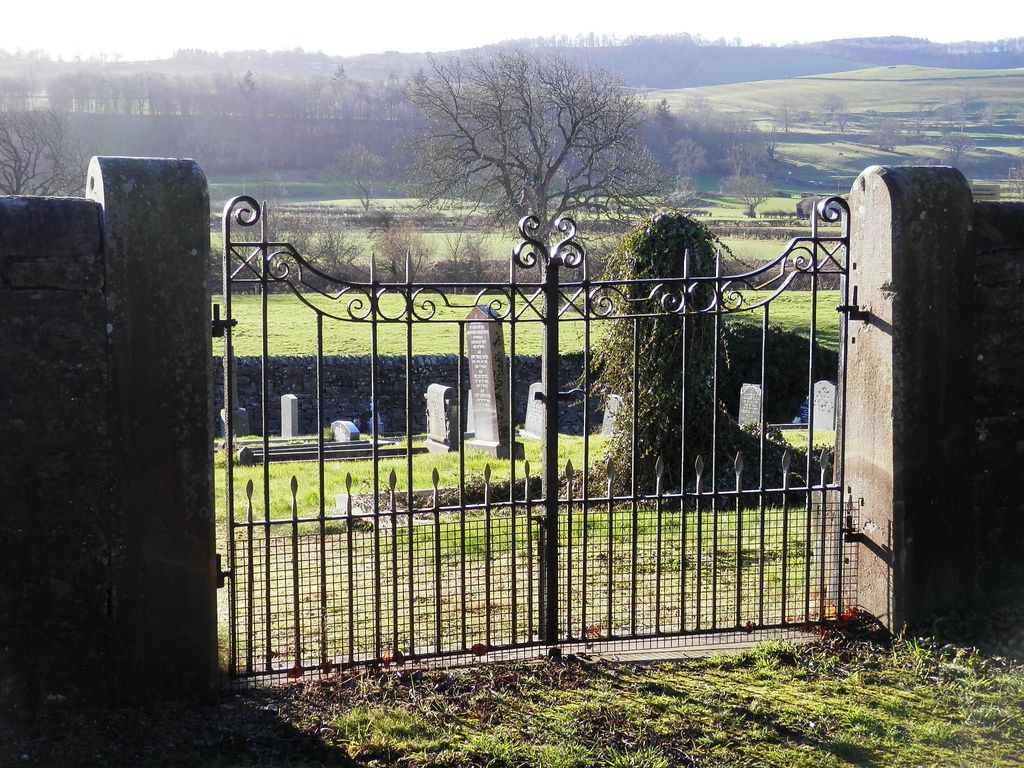
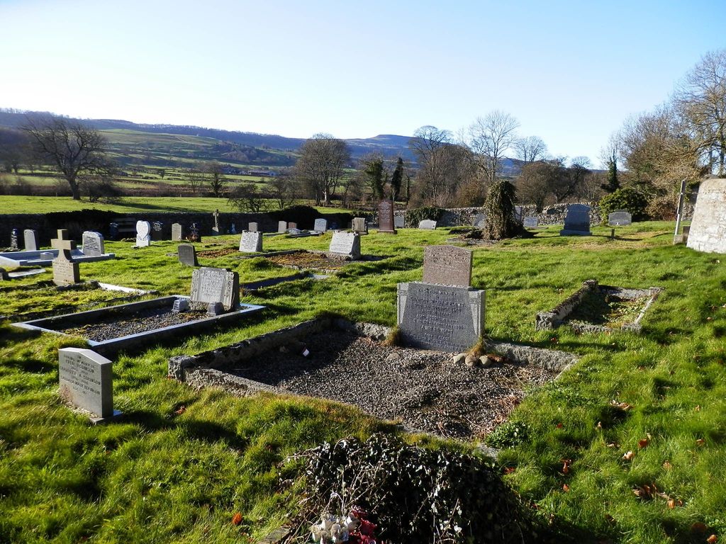
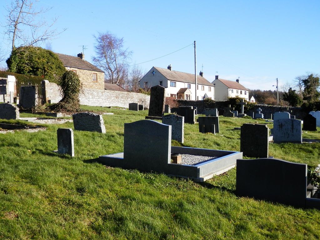
| Description | : | Wensley Cemetery is a short distance from Holy Trinity Church and churchyard, which is closed to new burials except in existing plots and for the interment of cremated remains. Both burial grounds are maintained by Richmondshire District Council. Driving from Wensley to Middleham, 2½ miles away, the cemetery is on the right and near the outskirts of Wensley village. |
frequently asked questions (FAQ):
-
Where is Wensley Cemetery?
Wensley Cemetery is located at Low Lane Wensley, Richmondshire District ,North Yorkshire , DL8 4HXEngland.
-
Wensley Cemetery cemetery's updated grave count on graveviews.com?
1 memorials
-
Where are the coordinates of the Wensley Cemetery?
Latitude: 54.3013320
Longitude: -1.8568169
Nearby Cemetories:
1. Holy Trinity Churchyard
Wensley, Richmondshire District, England
Coordinate: 54.3014000, -1.8600000
2. Leyburn Cemetery
Leyburn, Richmondshire District, England
Coordinate: 54.3093030, -1.8348630
3. Preston Under Scar Cemetery
Preston-under-Scar, Richmondshire District, England
Coordinate: 54.3133800, -1.8964000
4. Holy Trinity Churchyard
Coverham, Richmondshire District, England
Coordinate: 54.2727230, -1.8429440
5. Coverham Abbey
Coverham, Richmondshire District, England
Coordinate: 54.2728510, -1.8392460
6. St Bartholomew Churchyard
West Witton, Richmondshire District, England
Coordinate: 54.2920100, -1.9073200
7. St. Mary and St. Alkelda Churchyard
Middleham, Richmondshire District, England
Coordinate: 54.2864000, -1.8074000
8. Spennithorne & Harmby Cemetery
Harmby, Richmondshire District, England
Coordinate: 54.3002500, -1.7989900
9. St John the Evangelist Churchyard
Bellerby, Richmondshire District, England
Coordinate: 54.3303200, -1.8239000
10. St Michael and All Angels Churchyard Spennithorne
Spennithorne, Richmondshire District, England
Coordinate: 54.2960200, -1.7910200
11. St Mary Churchyard
Redmire, Richmondshire District, England
Coordinate: 54.3126200, -1.9227400
12. St Simon and St Jude Roman Catholic Churchyard
Ulshaw Bridge, Richmondshire District, England
Coordinate: 54.2809800, -1.7771600
13. St John the Evangelist Churchyard
East Witton, Richmondshire District, England
Coordinate: 54.2696020, -1.7760850
14. St. Oswald's Churchyard
Thornton Steward, Richmondshire District, England
Coordinate: 54.2776700, -1.7398000
15. St. Andrew Churchyard
Aysgarth, Richmondshire District, England
Coordinate: 54.2922340, -1.9833760
16. Jervaulx Abbey
East Witton, Richmondshire District, England
Coordinate: 54.2670280, -1.7379870
17. Marrick Priory Churchyard
Marrick, Richmondshire District, England
Coordinate: 54.3758830, -1.8977990
18. St Oswald Churchyard
Hauxwell, Richmondshire District, England
Coordinate: 54.3333300, -1.7333300
19. Friends Meeting House Burial Ground
Carperby, Richmondshire District, England
Coordinate: 54.3031720, -1.9925670
20. St Michael and All Angels Churchyard
Downholme, Richmondshire District, England
Coordinate: 54.3799700, -1.8313400
21. St Botolph Churchyard
Horsehouse, Richmondshire District, England
Coordinate: 54.2269100, -1.9292300
22. St. Andrew's Churchyard
Finghall, Richmondshire District, England
Coordinate: 54.3068300, -1.7085500
23. Reeth and Grinton Cemetery
Grinton, Richmondshire District, England
Coordinate: 54.3800400, -1.9246700
24. St. Andrew's Churchyard
Grinton, Richmondshire District, England
Coordinate: 54.3812610, -1.9305740