
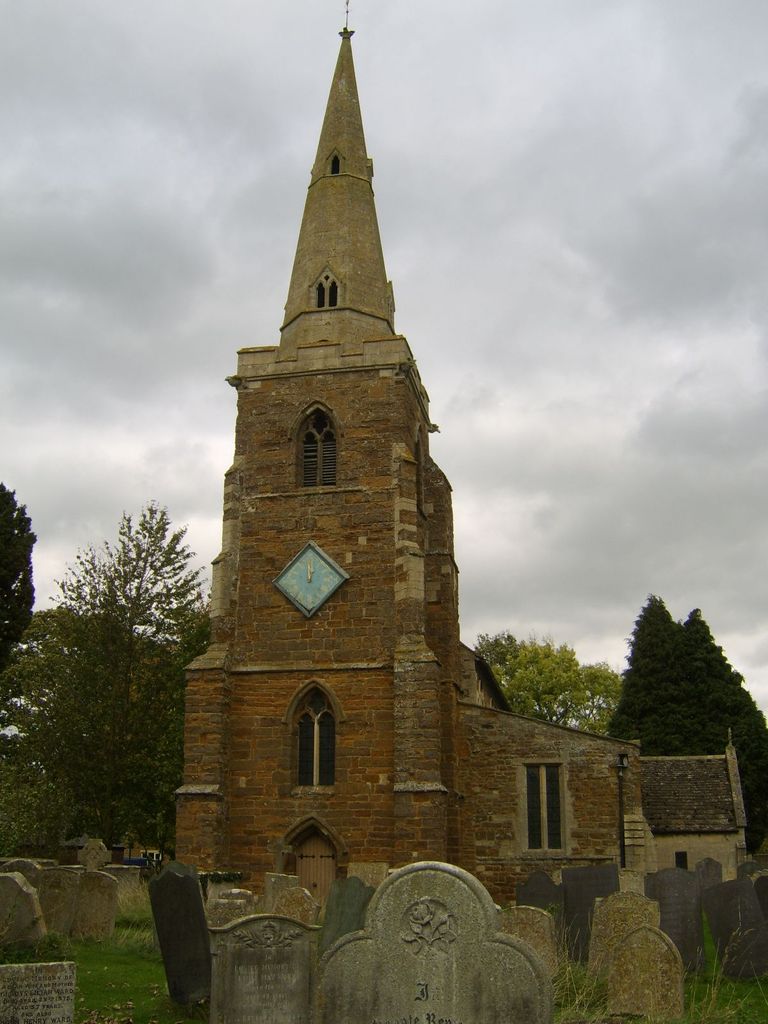
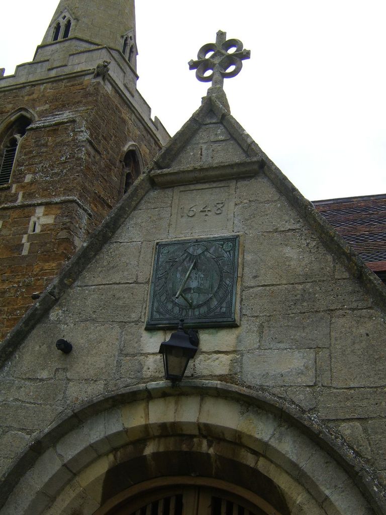
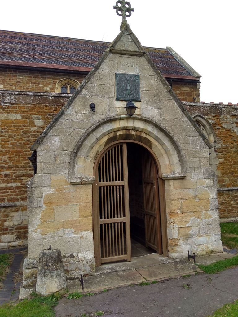
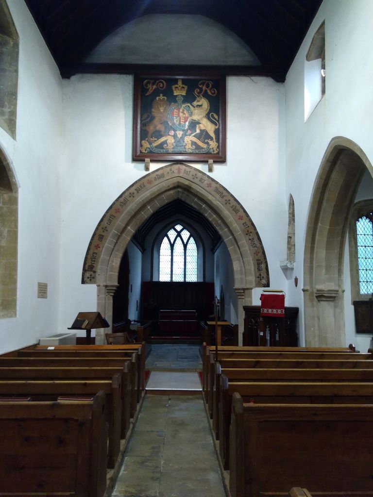
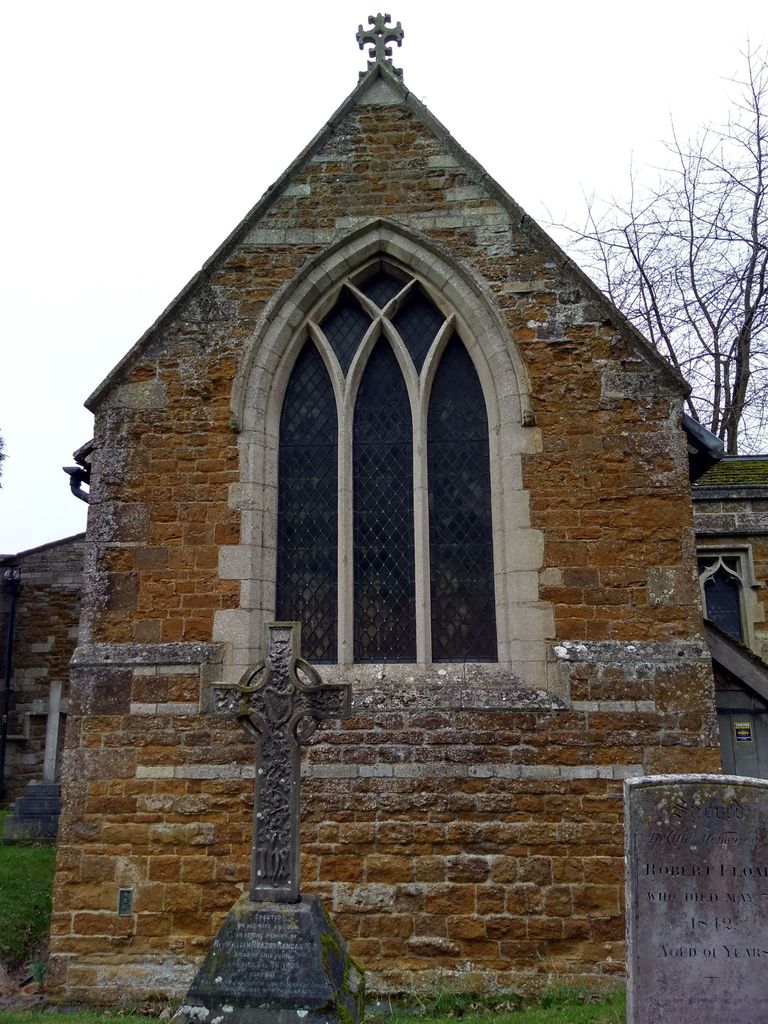
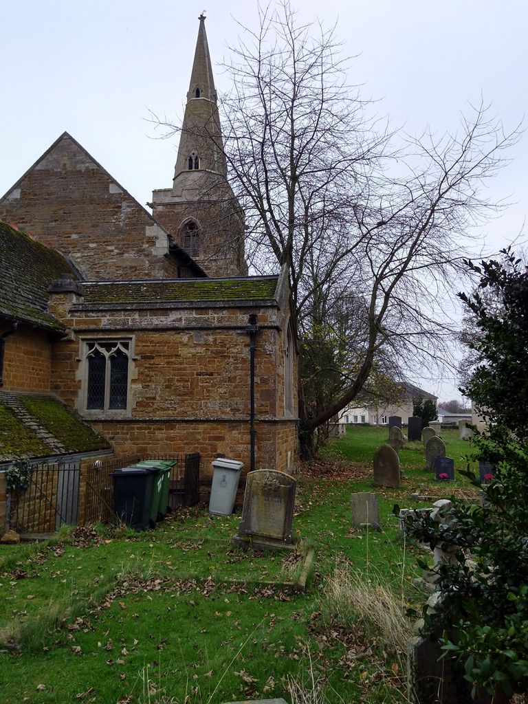
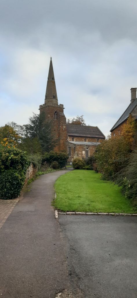
| Memorials | : | 3 |
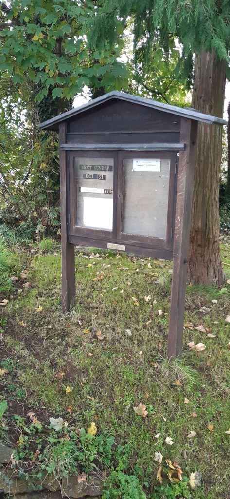
| Location | : | Caldecott, Rutland Unitary Authority, England |
| Coordinate | : | 52.5341600, -0.7213400 |
frequently asked questions (FAQ):
-
Where is St. John the Evangelist Churchyard?
St. John the Evangelist Churchyard is located at Caldecott, Rutland Unitary Authority ,Rutland ,England.
-
St. John the Evangelist Churchyard cemetery's updated grave count on graveviews.com?
3 memorials
-
Where are the coordinates of the St. John the Evangelist Churchyard?
Latitude: 52.5341600
Longitude: -0.7213400
Nearby Cemetories:
1. Independant Chapel Cemetery
Great Easton, Harborough District, England
Coordinate: 52.5268820, -0.7472440
2. St. Andrew Churchyard Extension
Hallaton, Harborough District, England
Coordinate: 52.5308470, -0.7505850
3. St. Andrew's Churchyard
Great Easton, Harborough District, England
Coordinate: 52.5288590, -0.7525630
4. Saint Nicholas Cemetery
Bringhurst, Harborough District, England
Coordinate: 52.5216700, -0.7614220
5. Saint Nicholas Churchyard
Bringhurst, Harborough District, England
Coordinate: 52.5208900, -0.7613600
6. Shire Lodge Cemetery
Corby, Corby Borough, England
Coordinate: 52.5073610, -0.7084990
7. St. James Churchyard
Gretton, Corby Borough, England
Coordinate: 52.5403000, -0.6763400
8. St Andrew Churchyard
Stoke Dry, Rutland Unitary Authority, England
Coordinate: 52.5620632, -0.7394099
9. St Mary Magdalene
Cottingham, Corby Borough, England
Coordinate: 52.5008296, -0.7551008
10. St. Peter's Churchyard
Stockerston, Harborough District, England
Coordinate: 52.5687800, -0.7706600
11. St Mary's Churchyard
Nevill Holt, Harborough District, England
Coordinate: 52.5350180, -0.7977290
12. Uppingham Lawn Cemetery
Uppingham, Rutland Unitary Authority, England
Coordinate: 52.5855800, -0.7229700
13. All Hallows Churchyard
Seaton, Rutland Unitary Authority, England
Coordinate: 52.5745730, -0.6670810
14. St. Peter and St. Paul's Churchyard
Uppingham, Rutland Unitary Authority, England
Coordinate: 52.5873820, -0.7221660
15. Saint John The Baptist Churchyard
Harringworth, East Northamptonshire Borough, England
Coordinate: 52.5671000, -0.6491000
16. St Giles Churchyard
Medbourne, Harborough District, England
Coordinate: 52.5296410, -0.8226870
17. Leicester Road Cemetery
Uppingham, Rutland Unitary Authority, England
Coordinate: 52.5975766, -0.7413414
18. St. Mary the Virgin Churchyard
Uppingham, Rutland Unitary Authority, England
Coordinate: 52.5996800, -0.7324400
19. St. Andrew's Churchyard
Glaston, Rutland Unitary Authority, England
Coordinate: 52.5953628, -0.6781534
20. All Saints Churchyard
Wilbarston, Kettering Borough, England
Coordinate: 52.4870920, -0.8056930
21. Deene Park
Deene, East Northamptonshire Borough, England
Coordinate: 52.5242960, -0.6010350
22. St Botolph Churchyard
Stoke Albany, Kettering Borough, England
Coordinate: 52.4865500, -0.8151720
23. Saint Peter's Churchyard
Deene, East Northamptonshire Borough, England
Coordinate: 52.5242490, -0.5984740
24. All Saints Churchyard
Laxton, East Northamptonshire Borough, England
Coordinate: 52.5535760, -0.5992450