| Memorials | : | 0 |
| Location | : | Merrow, Guildford Borough, England |
| Coordinate | : | 51.2459770, -0.5271350 |
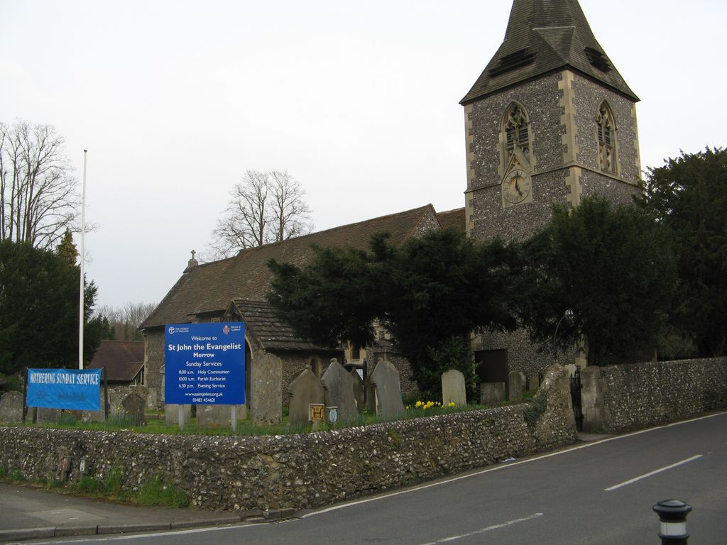
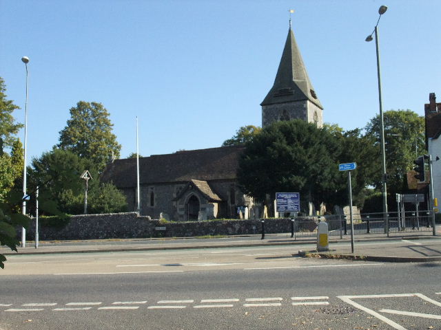
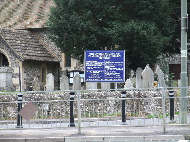
| Description | : | The village of Merrow, in Surrey, England, lies on the north-east corner of Guildford. It is about two miles from the town centre, right on the edge of the ridge of hills that forms the North Downs.The parish church of St John the Evangelist was built in the mid 12th century and a few early features have survived later additions, such as a Norman arch and a 13th century chapel. The churchyard is the burial place of the Onslow family. There is a war memorial in the churchyard, dedicated to those who lost their lives in the First and Second... Read More |
frequently asked questions (FAQ):
-
Where is St John the Evangelist Churchyard?
St John the Evangelist Churchyard is located at Epsom Rd Merrow, Guildford Borough ,Surrey , GU4 7DAEngland.
-
St John the Evangelist Churchyard cemetery's updated grave count on graveviews.com?
0 memorials
-
Where are the coordinates of the St John the Evangelist Churchyard?
Latitude: 51.2459770
Longitude: -0.5271350
Nearby Cemetories:
1. St. Peter & St. Paul's Churchyard
West Clandon, Guildford Borough, England
Coordinate: 51.2507990, -0.5053760
2. Ss Peter & Paul Church Cemetery
West Clandon, Guildford Borough, England
Coordinate: 51.2517500, -0.5045400
3. St Martha-on-the-Hill Churchyard
Chilworth, Guildford Borough, England
Coordinate: 51.2246400, -0.5290440
4. Burpham Churchyard
Guildford, Guildford Borough, England
Coordinate: 51.2622640, -0.5497350
5. St. John's Churchyard
Stoke-next-Guildford, Guildford Borough, England
Coordinate: 51.2470280, -0.5711690
6. Society of Friends Burial Ground (Defunct)
Guildford, Guildford Borough, England
Coordinate: 51.2364500, -0.5703050
7. Holy Trinity Church
Guildford, Guildford Borough, England
Coordinate: 51.2357740, -0.5705540
8. St Edwards Churchyard
Guildford, Guildford Borough, England
Coordinate: 51.2339770, -0.5719760
9. St Marys Churchyard
Guildford, Guildford Borough, England
Coordinate: 51.2346622, -0.5744170
10. St Peter and St Paul Churchyard
Albury, Guildford Borough, England
Coordinate: 51.2181500, -0.4974400
11. Saint Nicolas Parish Church
Guildford, Guildford Borough, England
Coordinate: 51.2346980, -0.5776620
12. St Mary the Virgin Churchyard
Send, Guildford Borough, England
Coordinate: 51.2791230, -0.5408600
13. St Edward the Confessor Churchyard
Sutton Green, Woking Borough, England
Coordinate: 51.2741930, -0.5608230
14. Stoke Old Cemetery
Guildford, Guildford Borough, England
Coordinate: 51.2522600, -0.5828500
15. Stoke New Cemetery
Guildford, Guildford Borough, England
Coordinate: 51.2543900, -0.5824700
16. St Mary the Virgin Churchyard
Shalford, Guildford Borough, England
Coordinate: 51.2206700, -0.5705520
17. Guildford Cemetery
Guildford, Guildford Borough, England
Coordinate: 51.2312960, -0.5832800
18. Old St Peter and St Paul Churchyard
Albury, Guildford Borough, England
Coordinate: 51.2199300, -0.4788890
19. Shalford Cemetery
Shalford, Guildford Borough, England
Coordinate: 51.2152000, -0.5687000
20. Send Cemetery
Send, Guildford Borough, England
Coordinate: 51.2876880, -0.5273440
21. St. James' Churchyard
Shere, Guildford Borough, England
Coordinate: 51.2191210, -0.4634830
22. St. John the Baptist Churchyard
Wonersh, Waverley Borough, England
Coordinate: 51.1960610, -0.5493600
23. St Mary Churchyard
West Horsley, Guildford Borough, England
Coordinate: 51.2622470, -0.4417370
24. St Peter's Church
Old Woking, Woking Borough, England
Coordinate: 51.3017410, -0.5372560


