
| Memorials | : | 0 |
| Location | : | West Clandon, Guildford Borough, England |
| Coordinate | : | 51.2507990, -0.5053760 |
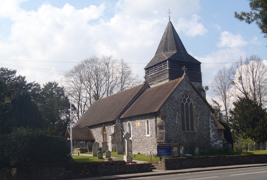
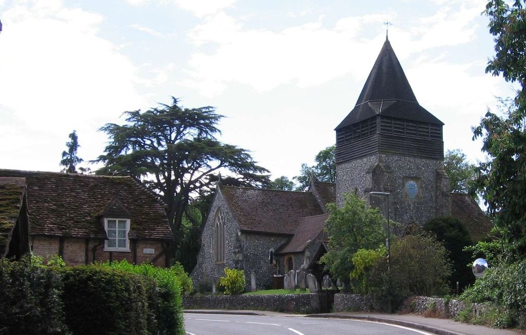
| Description | : | West Clandon is a village in Surrey, England. It is within 4 miles of the M25 and the A3. Nearby villages include Send, Ripley, Ockham, East and West Horsley. Local towns are Woking and Guildford. Also to the north and on the opposite side of the raod is the Church Cemetery. A "church cemetery" describes those burial grounds where there is a new piece of land, not adjoining the existing churchyard, and which has been consecrated as an addition to the church's burial space.They are usually secular in nature. |
frequently asked questions (FAQ):
-
Where is St. Peter & St. Paul's Churchyard?
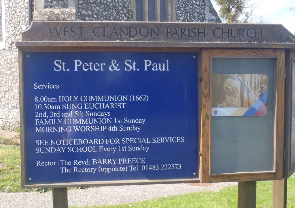
St. Peter & St. Paul's Churchyard is located at The Street West Clandon, Guildford Borough ,Surrey , GU4 7RGEngland.
-
St. Peter & St. Paul's Churchyard cemetery's updated grave count on graveviews.com?
0 memorials
-
Where are the coordinates of the St. Peter & St. Paul's Churchyard?
Latitude: 51.2507990
Longitude: -0.5053760
Nearby Cemetories:
1. Ss Peter & Paul Church Cemetery
West Clandon, Guildford Borough, England
Coordinate: 51.2517500, -0.5045400
2. St John the Evangelist Churchyard
Merrow, Guildford Borough, England
Coordinate: 51.2459770, -0.5271350
3. Burpham Churchyard
Guildford, Guildford Borough, England
Coordinate: 51.2622640, -0.5497350
4. St Martha-on-the-Hill Churchyard
Chilworth, Guildford Borough, England
Coordinate: 51.2246400, -0.5290440
5. St Peter and St Paul Churchyard
Albury, Guildford Borough, England
Coordinate: 51.2181500, -0.4974400
6. Old St Peter and St Paul Churchyard
Albury, Guildford Borough, England
Coordinate: 51.2199300, -0.4788890
7. St Mary the Virgin Churchyard
Send, Guildford Borough, England
Coordinate: 51.2791230, -0.5408600
8. Send Cemetery
Send, Guildford Borough, England
Coordinate: 51.2876880, -0.5273440
9. St. James' Churchyard
Shere, Guildford Borough, England
Coordinate: 51.2191210, -0.4634830
10. St. John's Churchyard
Stoke-next-Guildford, Guildford Borough, England
Coordinate: 51.2470280, -0.5711690
11. St Mary Churchyard
West Horsley, Guildford Borough, England
Coordinate: 51.2622470, -0.4417370
12. St Edward the Confessor Churchyard
Sutton Green, Woking Borough, England
Coordinate: 51.2741930, -0.5608230
13. Society of Friends Burial Ground (Defunct)
Guildford, Guildford Borough, England
Coordinate: 51.2364500, -0.5703050
14. Holy Trinity Church
Guildford, Guildford Borough, England
Coordinate: 51.2357740, -0.5705540
15. St Edwards Churchyard
Guildford, Guildford Borough, England
Coordinate: 51.2339770, -0.5719760
16. St Marys Churchyard
Guildford, Guildford Borough, England
Coordinate: 51.2346622, -0.5744170
17. Saint Nicolas Parish Church
Guildford, Guildford Borough, England
Coordinate: 51.2346980, -0.5776620
18. St. Martin's Churchyard
East Horsley, Guildford Borough, England
Coordinate: 51.2638550, -0.4314040
19. Stoke New Cemetery
Guildford, Guildford Borough, England
Coordinate: 51.2543900, -0.5824700
20. Stoke Old Cemetery
Guildford, Guildford Borough, England
Coordinate: 51.2522600, -0.5828500
21. St Mary Magdalen Churchyard
Ripley, Guildford Borough, England
Coordinate: 51.2992230, -0.4936400
22. St Mary the Virgin Churchyard
Shalford, Guildford Borough, England
Coordinate: 51.2206700, -0.5705520
23. All Saints Churchyard
Ockham, Guildford Borough, England
Coordinate: 51.2979900, -0.4710800
24. Guildford Cemetery
Guildford, Guildford Borough, England
Coordinate: 51.2312960, -0.5832800