| Memorials | : | 0 |
| Location | : | Buckland, Mole Valley District, England |
| Coordinate | : | 51.2435590, -0.2511510 |
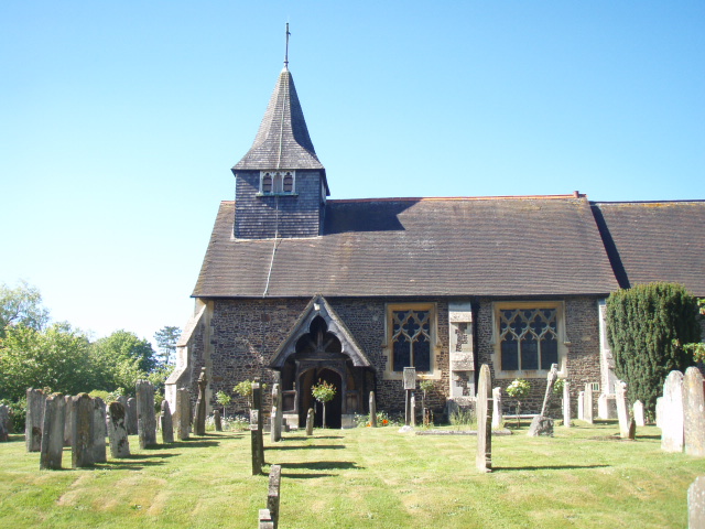
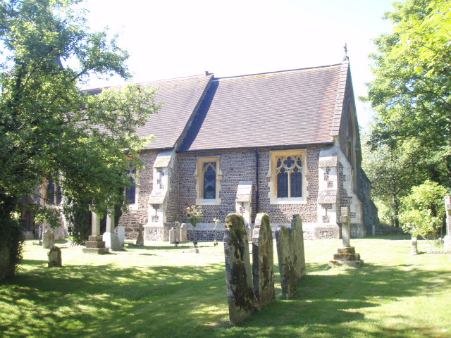
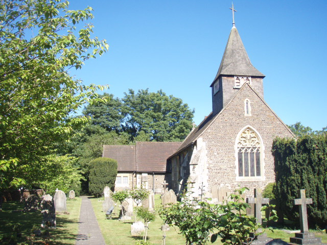
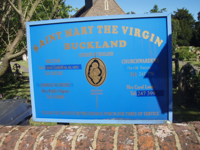
| Description | : | St. Mary the Virgin is Buckland's only church From Wikipedia Buckland is a village and civil parish in the Mole Valley district of Surrey, England. The village is situated between Dorking and Reigate. The civil parish of Buckland covers 515 hectares (2 square miles) and is bordered by the North Downs escarpment in the north. The area contains a number of clay pits. Buckland appears in Domesday Book as Bochelant. It was owned by John of Tonbridge. Buckland had a church, water-mill and thirty-five heads of household. Of these, seventeen farmed the land owned by the feudal lord, and ten were servants of... Read More |
frequently asked questions (FAQ):
-
Where is St. Mary the Virgin Churchyard?
St. Mary the Virgin Churchyard is located at Reigate Road Buckland, Mole Valley District ,Surrey , RH3 7BBEngland.
-
St. Mary the Virgin Churchyard cemetery's updated grave count on graveviews.com?
0 memorials
-
Where are the coordinates of the St. Mary the Virgin Churchyard?
Latitude: 51.2435590
Longitude: -0.2511510
Nearby Cemetories:
1. St. Michael's Churchyard
Betchworth, Mole Valley District, England
Coordinate: 51.2336480, -0.2673300
2. Betchworth Parish Council Burial Ground
Betchworth, Mole Valley District, England
Coordinate: 51.2349245, -0.2695398
3. St Mary Magdalene Churchyard
Reigate, Reigate and Banstead Borough, England
Coordinate: 51.2368540, -0.1972560
4. Reigate Cemetery
Reigate, Reigate and Banstead Borough, England
Coordinate: 51.2353550, -0.1977820
5. St. Bartholomew's Churchyard
Leigh, Mole Valley District, England
Coordinate: 51.2085790, -0.2483520
6. Quakers Burial Ground
Reigate, Reigate and Banstead Borough, England
Coordinate: 51.2372600, -0.1936700
7. Saint Peter's Church
Walton-on-the-Hill, Reigate and Banstead Borough, England
Coordinate: 51.2817810, -0.2467230
8. St Marys Churchyard
Headley, Mole Valley District, England
Coordinate: 51.2799700, -0.2736100
9. Dorking Cemetery
Dorking, Mole Valley District, England
Coordinate: 51.2365646, -0.3189580
10. Deepdene Mausoleum
Dorking, Mole Valley District, England
Coordinate: 51.2307590, -0.3206630
11. Sidlow Bridge Emmanuel Churchyard
Sidlow, Reigate and Banstead Borough, England
Coordinate: 51.2077270, -0.1989510
12. St Michael Churchyard
Mickleham, Mole Valley District, England
Coordinate: 51.2675150, -0.3233720
13. St Martin Churchyard
Dorking, Mole Valley District, England
Coordinate: 51.2326360, -0.3320140
14. Redstone Cemetery
Redhill, Reigate and Banstead Borough, England
Coordinate: 51.2310910, -0.1601330
15. St Katharine's Churchyard
Merstham, Reigate and Banstead Borough, England
Coordinate: 51.2689900, -0.1514700
16. St Mary and St Nicholas Churchyard
Leatherhead, Mole Valley District, England
Coordinate: 51.2925810, -0.3269850
17. St. Barnabas Churchyard
Ranmore Common, Mole Valley District, England
Coordinate: 51.2419730, -0.3602730
18. St Giles Churchyard
Ashtead, Mole Valley District, England
Coordinate: 51.3086540, -0.2900093
19. St Mary Magdalene Churchyard
South Holmwood, Mole Valley District, England
Coordinate: 51.1904660, -0.3243540
20. St. Margaret's Churchyard
Hooley, Reigate and Banstead Borough, England
Coordinate: 51.2923980, -0.1602950
21. Epsom Cemetery
Epsom, Epsom and Ewell Borough, England
Coordinate: 51.3198040, -0.2594180
22. Holy Trinity Churchyard, Westcott
Dorking, Mole Valley District, England
Coordinate: 51.2236075, -0.3694870
23. Polesden Lacey Estate
Great Bookham, Mole Valley District, England
Coordinate: 51.2591310, -0.3718630
24. Polesden Lacey Estate Pet Cemetery
Great Bookham, Mole Valley District, England
Coordinate: 51.2592260, -0.3718640


