
| Memorials | : | 0 |
| Location | : | Stewkley, Aylesbury Vale District, England |
| Coordinate | : | 51.9269300, -0.7625700 |
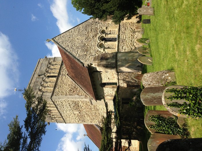
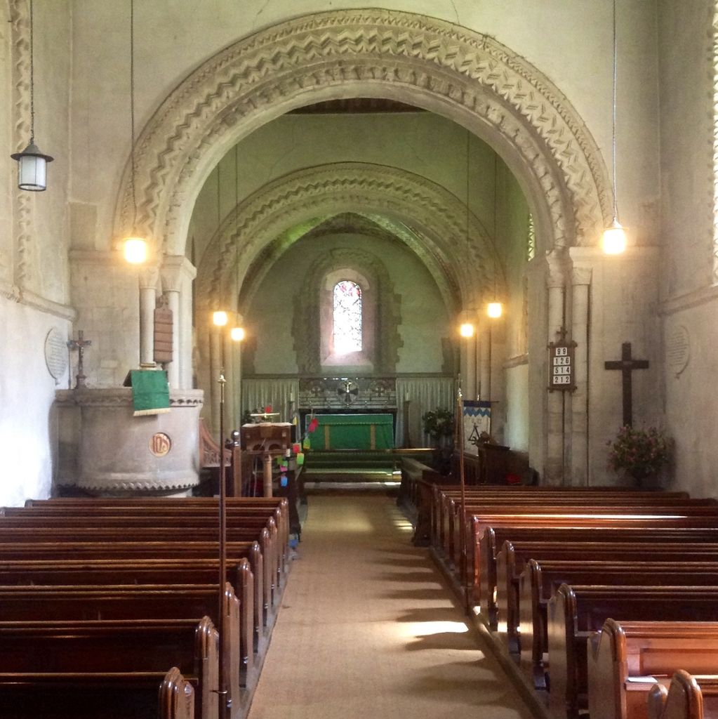
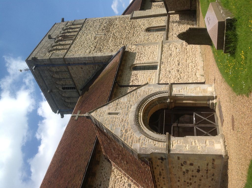
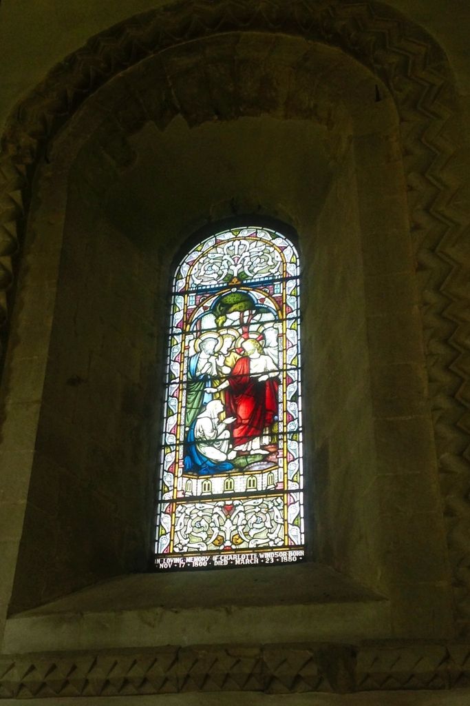
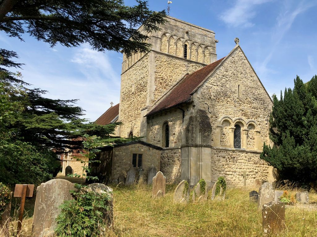
| Description | : | The church of St. Michael is by far the best and most complete example of Norman architecture in Buckinghamshire. The history of the parish can be traced back to the mid-12th century and it is likely that the church was built by Geoffrey de Clinton. There are six wargraves here. |
frequently asked questions (FAQ):
-
Where is St. Michael & All Angels Churchyard?
St. Michael & All Angels Churchyard is located at High Street North B4032 Stewkley, Aylesbury Vale District ,Buckinghamshire , LU7 0HLEngland.
-
St. Michael & All Angels Churchyard cemetery's updated grave count on graveviews.com?
0 memorials
-
Where are the coordinates of the St. Michael & All Angels Churchyard?
Latitude: 51.9269300
Longitude: -0.7625700
Nearby Cemetories:
1. Holy Trinity Churchyard
Drayton Parslow, Aylesbury Vale District, England
Coordinate: 51.9508846, -0.7802638
2. All Saints Churchyard
Soulbury, Aylesbury Vale District, England
Coordinate: 51.9347636, -0.7181225
3. St Martin's churchyard
Dunton, Aylesbury Vale District, England
Coordinate: 51.9117610, -0.8038370
4. Mursley Cemetery
Mursley, Aylesbury Vale District, England
Coordinate: 51.9483550, -0.8110360
5. St. Nicholas' Churchyard
Cublington, Aylesbury Vale District, England
Coordinate: 51.8918828, -0.7825741
6. St Mary the Virgin Churchyard
Mursley, Aylesbury Vale District, England
Coordinate: 51.9494170, -0.8125050
7. Holy Cross Churchyard
Hoggeston, Aylesbury Vale District, England
Coordinate: 51.9179220, -0.8260200
8. All Saints Churchyard
Wing, Aylesbury Vale District, England
Coordinate: 51.8945984, -0.7227797
9. St Lukes Churchyard
Stoke Hammond, Aylesbury Vale District, England
Coordinate: 51.9594850, -0.7214330
10. Swanbourne Cemetery
Swanbourne, Aylesbury Vale District, England
Coordinate: 51.9353700, -0.8349600
11. St. Swithun's Churchyard
Swanbourne, Aylesbury Vale District, England
Coordinate: 51.9382920, -0.8362480
12. St. Faith Churchyard
Newton Longville, Aylesbury Vale District, England
Coordinate: 51.9748000, -0.7667600
13. Old Linslade Cemetery
Leighton Linslade, Central Bedfordshire Unitary Authority, England
Coordinate: 51.9319962, -0.6794293
14. St. Mary's Churchyard
Leighton Linslade, Central Bedfordshire Unitary Authority, England
Coordinate: 51.9324420, -0.6776870
15. St. James the Great Churchyard
Aston Abbotts, Aylesbury Vale District, England
Coordinate: 51.8742390, -0.7706790
16. Great Brickhill Cemetery
Great Brickhill, Aylesbury Vale District, England
Coordinate: 51.9667550, -0.6894140
17. Great Brickhill Baptist Chapel
Great Brickhill, Aylesbury Vale District, England
Coordinate: 51.9666820, -0.6892350
18. Great Brickhill Churchyard Extension
Great Brickhill, Aylesbury Vale District, England
Coordinate: 51.9670890, -0.6898000
19. St Mary Churchyard
Great Brickhill, Aylesbury Vale District, England
Coordinate: 51.9682720, -0.6896390
20. All Saints Churchyard
Leighton Buzzard, Central Bedfordshire Unitary Authority, England
Coordinate: 51.9148010, -0.6651860
21. Selbourne Avenue Cemetery
Bletchley, Milton Keynes Borough, England
Coordinate: 51.9880347, -0.7493144
22. Leighton Buzzard Friends Meeting House
Leighton Buzzard, Central Bedfordshire Unitary Authority, England
Coordinate: 51.9181543, -0.6608307
23. St. John the Evangelist Churchyard
Whitchurch, Aylesbury Vale District, England
Coordinate: 51.8806720, -0.8351220
24. Lake Street Baptist Chapel
Leighton Buzzard, Central Bedfordshire Unitary Authority, England
Coordinate: 51.9148400, -0.6593400