
| Memorials | : | 0 |
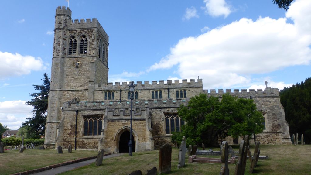
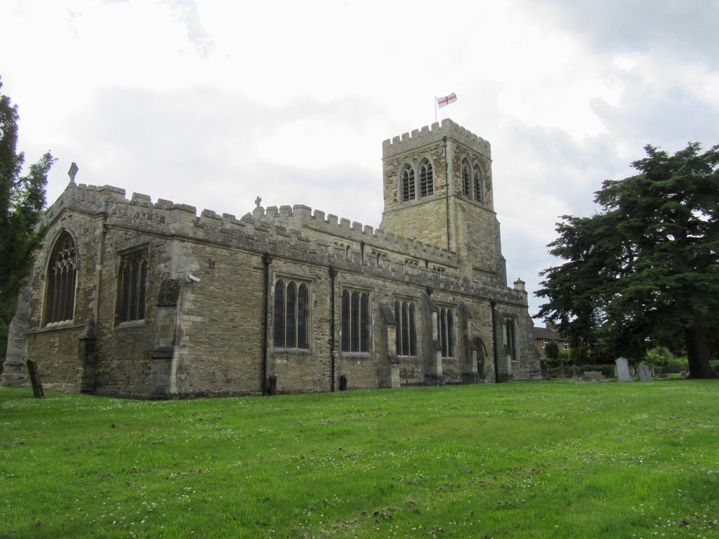
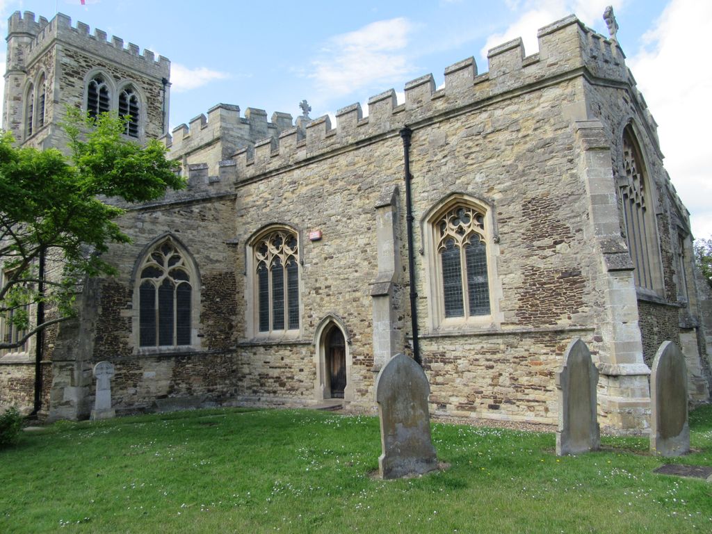
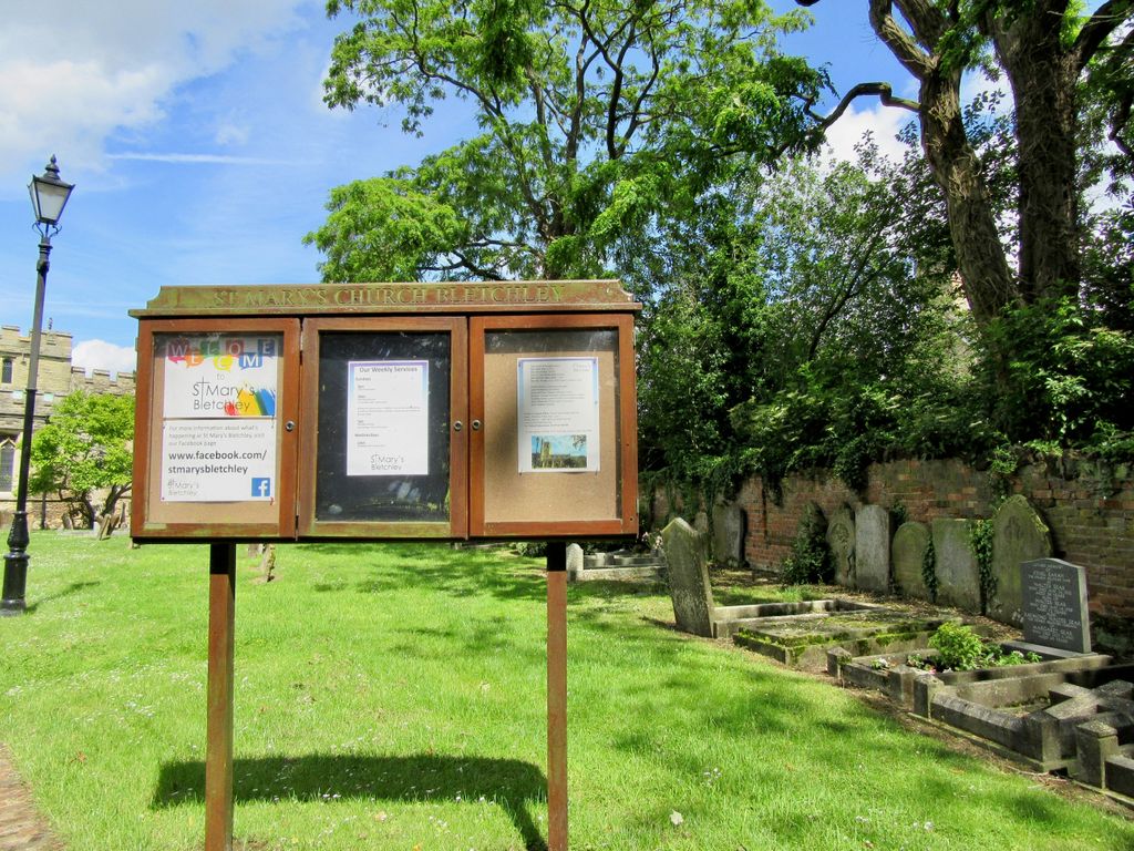
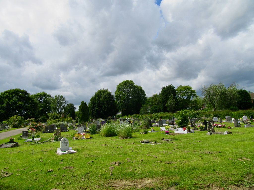
| Location | : | Bletchley, Milton Keynes Borough, England |
| Coordinate | : | 51.9960183, -0.7444740 |
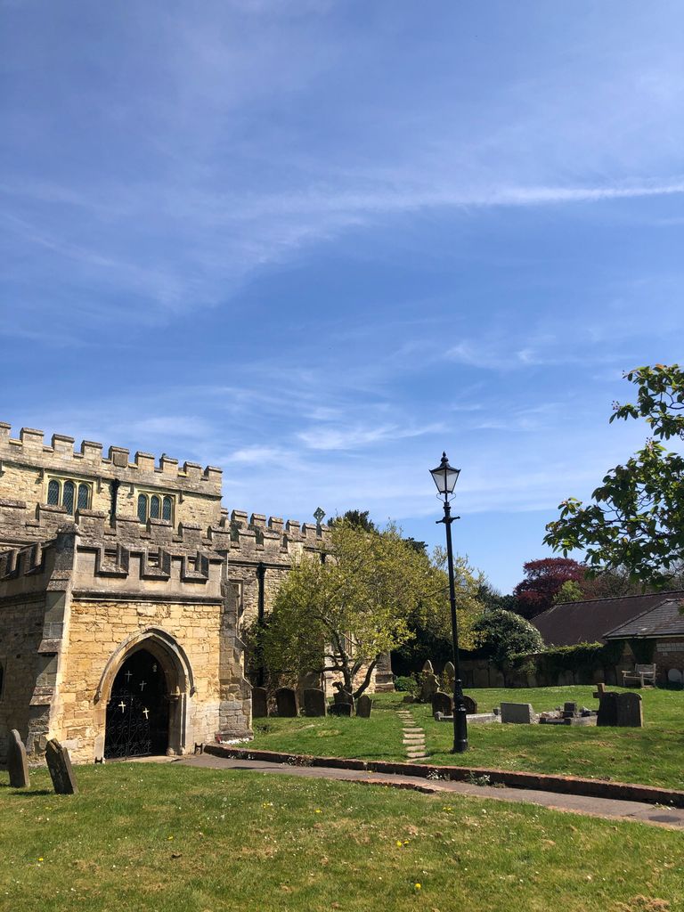
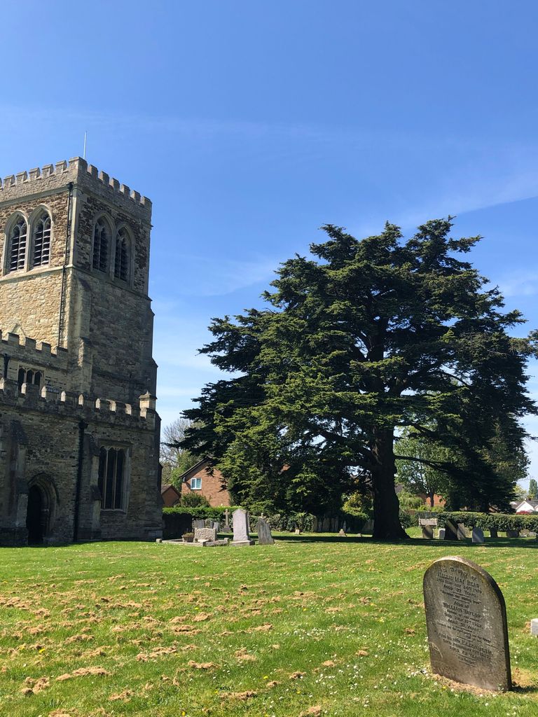
| Description | : | A church probably existed here in the C12. The church was wholly rebuilt in stages from the late C13 to the C15. The earliest fabric is the reset late C12 S door. The C15 work is associated with the Grey family, who held the manor of Over, West or Old Bletchley from the early C13 to the mid C17. The N chapel in particular, was clearly intended to be a chantry chapel and family mausoleum, although only the tomb of Richard, Lord Grey de Wilton, c.1442 now survives. Browne Willis (1682-1760), the noted early antiquary, owned the Bletchley estate... Read More |
frequently asked questions (FAQ):
-
Where is St. Mary's Churchyard?
St. Mary's Churchyard is located at Church Green Road Bletchley, Milton Keynes Borough ,Buckinghamshire , MK3 6DZEngland.
-
St. Mary's Churchyard cemetery's updated grave count on graveviews.com?
0 memorials
-
Where are the coordinates of the St. Mary's Churchyard?
Latitude: 51.9960183
Longitude: -0.7444740
Nearby Cemetories:
1. Whalley Drive Cemetery
Bletchley, Milton Keynes Borough, England
Coordinate: 51.9964870, -0.7456010
2. Selbourne Avenue Cemetery
Bletchley, Milton Keynes Borough, England
Coordinate: 51.9880347, -0.7493144
3. Bletchley Cemetery
Bletchley, Milton Keynes Borough, England
Coordinate: 51.9947900, -0.7189600
4. St. Martin's Churchyard
Fenny Stratford, Milton Keynes Borough, England
Coordinate: 51.9982400, -0.7157800
5. St. Faith Churchyard
Newton Longville, Aylesbury Vale District, England
Coordinate: 51.9748000, -0.7667600
6. St. Thomas' Churchyard
Simpson, Milton Keynes Borough, England
Coordinate: 52.0170487, -0.7142377
7. St. Michael's Churchyard Open University
Milton Keynes Borough, England
Coordinate: 52.0233487, -0.7118339
8. St Marys Churchyard
Woughton on the Green, Milton Keynes Borough, England
Coordinate: 52.0298869, -0.7234442
9. St. Mary Churchyard
Milton Keynes Borough, England
Coordinate: 52.0222200, -0.7885200
10. St Lukes Churchyard
Stoke Hammond, Aylesbury Vale District, England
Coordinate: 51.9594850, -0.7214330
11. All Saints Churchyard
Loughton, Milton Keynes Borough, England
Coordinate: 52.0326533, -0.7797109
12. St Mary Churchyard
Great Brickhill, Aylesbury Vale District, England
Coordinate: 51.9682720, -0.6896390
13. All Saints Churchyard Extension
Bow Brickhill, Milton Keynes Borough, England
Coordinate: 52.0002300, -0.6737940
14. All Saints Churchyard
Bow Brickhill, Milton Keynes Borough, England
Coordinate: 52.0005240, -0.6737110
15. St. Mary Magdalene Churchyard
Little Brickhill, Milton Keynes Borough, England
Coordinate: 51.9831000, -0.6763200
16. Great Brickhill Churchyard Extension
Great Brickhill, Aylesbury Vale District, England
Coordinate: 51.9670890, -0.6898000
17. Holy Trinity Churchyard
Milton Keynes, Milton Keynes Borough, England
Coordinate: 52.0390700, -0.7253500
18. Great Brickhill Cemetery
Great Brickhill, Aylesbury Vale District, England
Coordinate: 51.9667550, -0.6894140
19. Great Brickhill Baptist Chapel
Great Brickhill, Aylesbury Vale District, England
Coordinate: 51.9666820, -0.6892350
20. Holy Trinity Churchyard
Drayton Parslow, Aylesbury Vale District, England
Coordinate: 51.9508846, -0.7802638
21. Holy Trinity Churchyard
Woolstone, Milton Keynes Borough, England
Coordinate: 52.0450548, -0.7245233
22. St Mary Churchyard
Whaddon, Aylesbury Vale District, England
Coordinate: 51.9993190, -0.8283310
23. Crownhill Cemetery and Crematorium
Milton Keynes, Milton Keynes Borough, England
Coordinate: 52.0321870, -0.8054640
24. All Saints Churchyard
Milton Keynes, Milton Keynes Borough, England
Coordinate: 52.0438000, -0.7070000