
| Memorials | : | 199 |
| Location | : | Beverley, East Riding of Yorkshire Unitary Authority, England |
| Coordinate | : | 53.8360660, -0.4370590 |
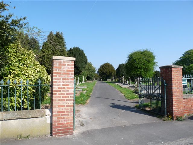
| Description | : | St Martin Cemetery was opened in 1861 to serve the needs of the Beverley Minster parish after the Minster Churchyard was closed to further burials. By 1988, St Martin Cemetery was full and closed, except for burials in existing plots. The East Riding of Yorkshire Council now maintains the cemetery. Burial registers for 1861-1994 are available at the East Riding Archives (Treasure House, Champney Road, Beverley, HU17 8HE). St Martin may be accessed from either Cartwright Lane or Queensgate. The smaller St John Cemetery adjoins St Martin Cemetery. |
frequently asked questions (FAQ):
-
Where is St. Martin's Cemetery?
St. Martin's Cemetery is located at 23 Cartwright Ln Beverley, East Riding of Yorkshire Unitary Authority ,East Riding of Yorkshire , HU17 8NBEngland.
-
St. Martin's Cemetery cemetery's updated grave count on graveviews.com?
199 memorials
-
Where are the coordinates of the St. Martin's Cemetery?
Latitude: 53.8360660
Longitude: -0.4370590
Nearby Cemetories:
1. St John Cemetery
Beverley, East Riding of Yorkshire Unitary Authority, England
Coordinate: 53.8350750, -0.4354910
2. Queensgate Cemetery
Beverley, East Riding of Yorkshire Unitary Authority, England
Coordinate: 53.8314000, -0.4385100
3. Beverley Minster Churchyard
Beverley, East Riding of Yorkshire Unitary Authority, England
Coordinate: 53.8389560, -0.4247920
4. St. Mary's Churchyard
Beverley, East Riding of Yorkshire Unitary Authority, England
Coordinate: 53.8440200, -0.4338100
5. St. Mary North Bar Within Cemetery
Beverley, East Riding of Yorkshire Unitary Authority, England
Coordinate: 53.8445340, -0.4355770
6. St. Mary's Molescroft Road Cemetery
Beverley, East Riding of Yorkshire Unitary Authority, England
Coordinate: 53.8490070, -0.4421000
7. St Nicholas Churchyard
Beverley, East Riding of Yorkshire Unitary Authority, England
Coordinate: 53.8411520, -0.4142730
8. All Saints Churchyard
Bishop Burton, East Riding of Yorkshire Unitary Authority, England
Coordinate: 53.8443750, -0.4959940
9. St Michael and All Angels Churchyard
Cherry Burton, East Riding of Yorkshire Unitary Authority, England
Coordinate: 53.8658140, -0.4952220
10. St Catherine Churchyard
Leconfield, East Riding of Yorkshire Unitary Authority, England
Coordinate: 53.8800640, -0.4572990
11. Cottingham Municipal Cemetery
Cottingham, East Riding of Yorkshire Unitary Authority, England
Coordinate: 53.7829540, -0.4307820
12. St Mary the Virgin Churchyard
Cottingham, East Riding of Yorkshire Unitary Authority, England
Coordinate: 53.7821910, -0.4117230
13. St Mary Churchyard
Etton, East Riding of Yorkshire Unitary Authority, England
Coordinate: 53.8791000, -0.5086000
14. Priory Woods Cemetery
Cottingham, East Riding of Yorkshire Unitary Authority, England
Coordinate: 53.7748730, -0.4089420
15. Haltemprice Priory
Cottingham, East Riding of Yorkshire Unitary Authority, England
Coordinate: 53.7642860, -0.4207310
16. St Mary Churchyard
Lockington, East Riding of Yorkshire Unitary Authority, England
Coordinate: 53.9081670, -0.4837860
17. Northern Cemetery
Kingston upon Hull, Kingston upon Hull Unitary Authority, England
Coordinate: 53.7678410, -0.3737990
18. Chanterlands Crematorium and Columbarium
Kingston upon Hull, Kingston upon Hull Unitary Authority, England
Coordinate: 53.7647830, -0.3768310
19. St. Faith Churchyard
Leven, East Riding of Yorkshire Unitary Authority, England
Coordinate: 53.8943111, -0.3407167
20. St Andrew Churchyard
Kirk Ella, East Riding of Yorkshire Unitary Authority, England
Coordinate: 53.7538430, -0.4542050
21. St John Churchyard
Newland, Kingston upon Hull Unitary Authority, England
Coordinate: 53.7687010, -0.3525730
22. St Margaret Churchyard
Beswick, East Riding of Yorkshire Unitary Authority, England
Coordinate: 53.9194140, -0.4599290
23. Ella Street Jewish Cemetery
Kingston upon Hull, Kingston upon Hull Unitary Authority, England
Coordinate: 53.7605130, -0.3704170
24. Mill Lane Cemetery
Kirk Ella, East Riding of Yorkshire Unitary Authority, England
Coordinate: 53.7473720, -0.4519410