| Memorials | : | 0 |
| Location | : | Long Newton, Stockton-on-Tees Unitary Authority, England |
| Coordinate | : | 54.5417700, -1.4098500 |
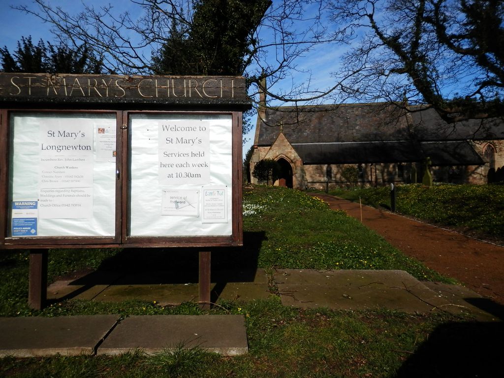
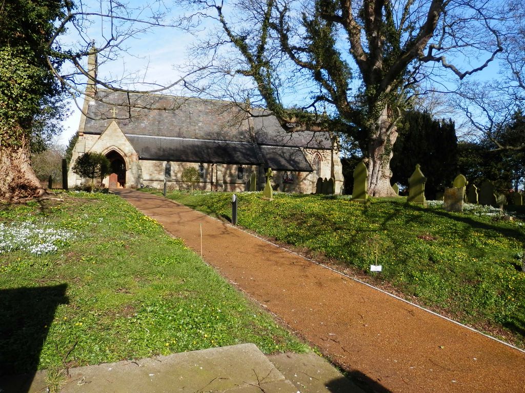
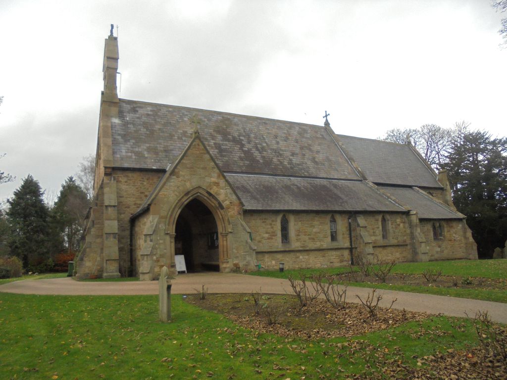
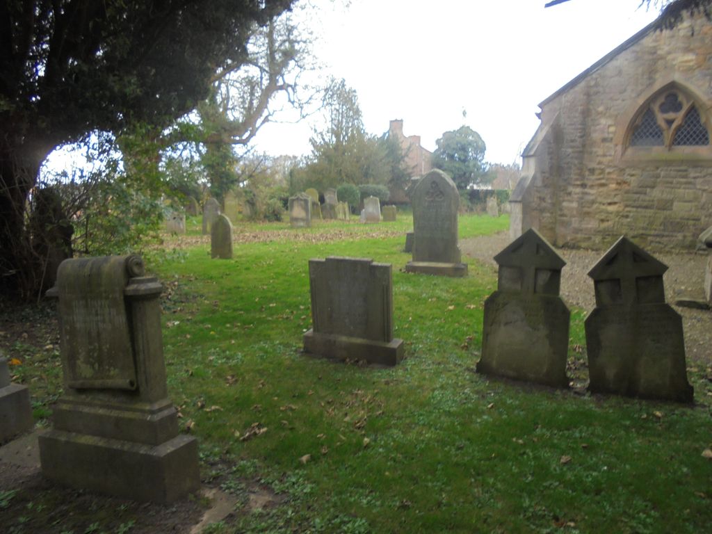
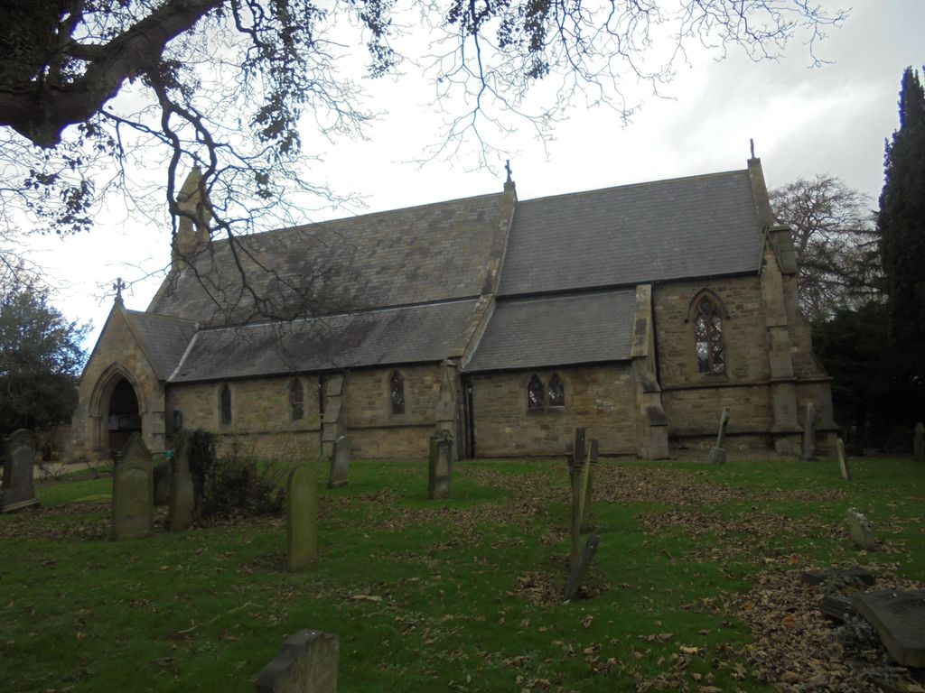
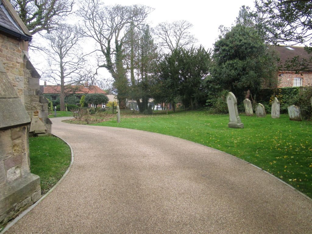
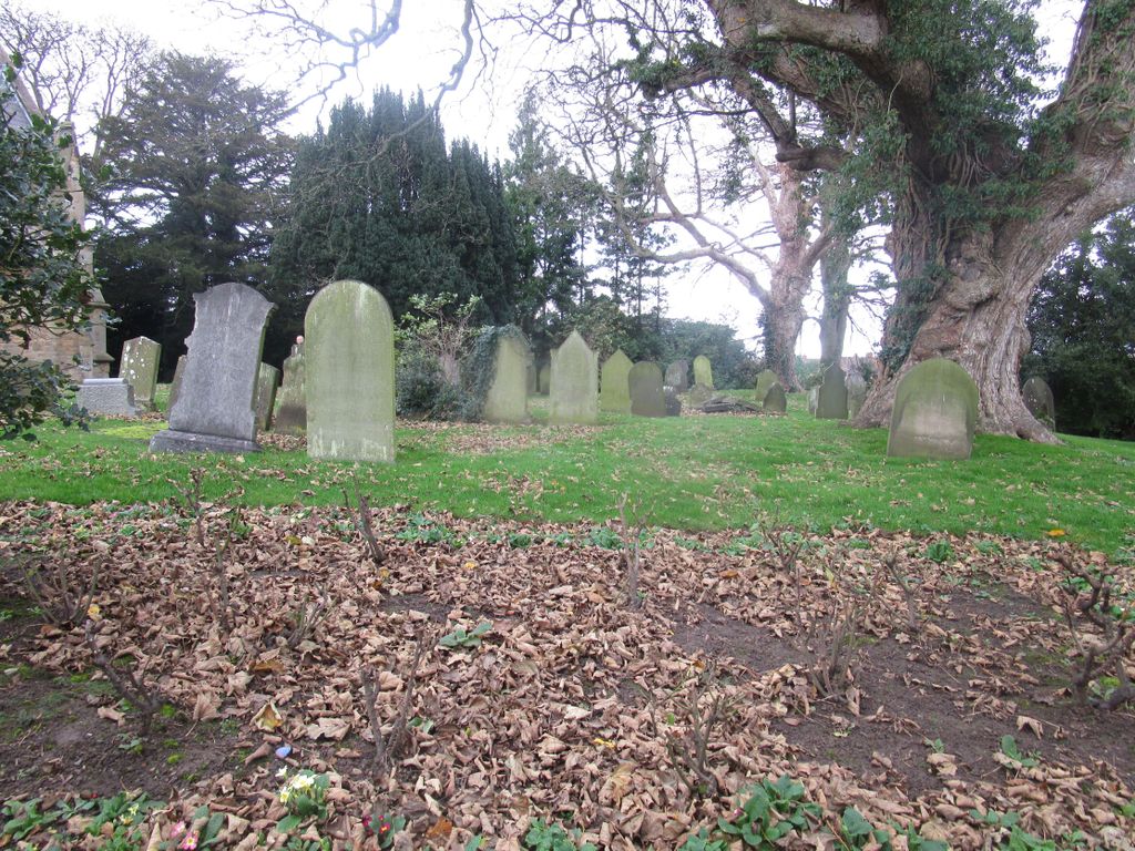
| Description | : | St Mary’s Anglican Church can be found on Darlington Road, the main road through Long Newton, opposite the Derry (formerly Londonderry Arms) public house. There is plenty of parking on the road. The churchyard is sub-rectangular, truncated to the north-east by a curving line of hedge dividing it from the grounds of the former Rectory. Rather as at nearby Elton there is an earthwork feature, a linear bank, in the southern part of the churchyard, running parallel to the road (and cut through by the approach path from the south gate) but swinging northwards at its east end. The monuments have... Read More |
frequently asked questions (FAQ):
-
Where is St. Mary's Churchyard?
St. Mary's Churchyard is located at Darlington Road Long Newton, Stockton-on-Tees Unitary Authority ,County Durham , TS21 1PEEngland.
-
St. Mary's Churchyard cemetery's updated grave count on graveviews.com?
0 memorials
-
Where are the coordinates of the St. Mary's Churchyard?
Latitude: 54.5417700
Longitude: -1.4098500
Nearby Cemetories:
1. St. John's Churchyard
Elton, Stockton-on-Tees Unitary Authority, England
Coordinate: 54.5500830, -1.3803290
2. St Andrew Churchyard
Sadberge, Darlington Unitary Authority, England
Coordinate: 54.5453890, -1.4744810
3. Preston-on-Tees Municipal Cemetery
Stockton-on-Tees Unitary Authority, England
Coordinate: 54.5422400, -1.3367300
4. Saint Cuthbert's Churchyard
Redmarshall, Stockton-on-Tees Unitary Authority, England
Coordinate: 54.5840600, -1.4037700
5. Saint Mary Magdalene Churchyard
Yarm, Stockton-on-Tees Unitary Authority, England
Coordinate: 54.5101150, -1.3575280
6. Egglescliffe Cemetery
Egglescliffe, Stockton-on-Tees Unitary Authority, England
Coordinate: 54.5127200, -1.3520100
7. St. John the Baptist Churchyard
Egglescliffe, Stockton-on-Tees Unitary Authority, England
Coordinate: 54.5121000, -1.3518000
8. Saint George's Churchyard Low Middleton
Middleton St George, Darlington Unitary Authority, England
Coordinate: 54.4994000, -1.4366000
9. St. Peter's Churchyard
Bishopton, Darlington Unitary Authority, England
Coordinate: 54.5852070, -1.4368680
10. Saint Laurence's Churchyard
Middleton St George, Darlington Unitary Authority, England
Coordinate: 54.5054700, -1.4625400
11. Yarm Cemetery
Yarm, Stockton-on-Tees Unitary Authority, England
Coordinate: 54.5037700, -1.3559300
12. Oxbridge Lane Cemetery
Stockton-on-Tees, Stockton-on-Tees Unitary Authority, England
Coordinate: 54.5617050, -1.3319520
13. Saint John the Baptist Churchyard
Low Dinsdale, Darlington Unitary Authority, England
Coordinate: 54.4950000, -1.4660000
14. Holy Trinity Churchyard
Stockton-on-Tees, Stockton-on-Tees Unitary Authority, England
Coordinate: 54.5603000, -1.3151000
15. Durham Road Cemetery
Stockton-on-Tees, Stockton-on-Tees Unitary Authority, England
Coordinate: 54.5754110, -1.3283100
16. All Saints Churchyard
Low Worsall, Hambleton District, England
Coordinate: 54.4824880, -1.3898180
17. St. Peter ad Vincula Churchyard
Thornaby on Tees, Stockton-on-Tees Unitary Authority, England
Coordinate: 54.5412998, -1.3044432
18. St Paul Churchyard
Thornaby on Tees, Stockton-on-Tees Unitary Authority, England
Coordinate: 54.5517940, -1.3048610
19. St Thomas Churchyard
Stockton-on-Tees, Stockton-on-Tees Unitary Authority, England
Coordinate: 54.5665430, -1.3123540
20. St John Churchyard
High Worsall, Hambleton District, England
Coordinate: 54.4786500, -1.4059590
21. St John's Churchyard
Stillington, Stockton-on-Tees Unitary Authority, England
Coordinate: 54.6064000, -1.4173000
22. St. James' Churchyard
Thorpe Thewles, Stockton-on-Tees Unitary Authority, England
Coordinate: 54.6051920, -1.3790430
23. All Saints Churchyard
Great Stainton, Darlington Unitary Authority, England
Coordinate: 54.5936200, -1.4818800
24. St. Andrew Churchyard
Haughton Le Skerne, Darlington Unitary Authority, England
Coordinate: 54.5374300, -1.5257400

