| Memorials | : | 0 |
| Location | : | Wavendon, Milton Keynes Borough, England |
| Coordinate | : | 52.0257000, -0.6730000 |
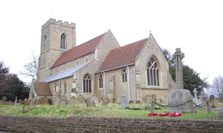
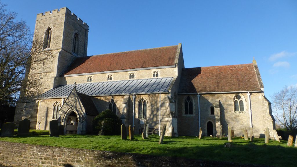
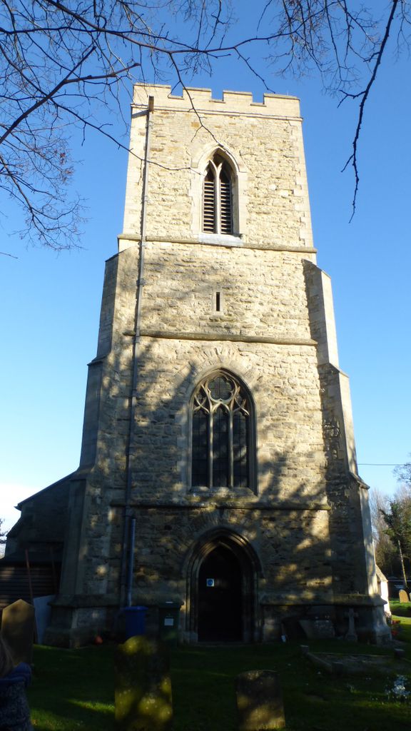
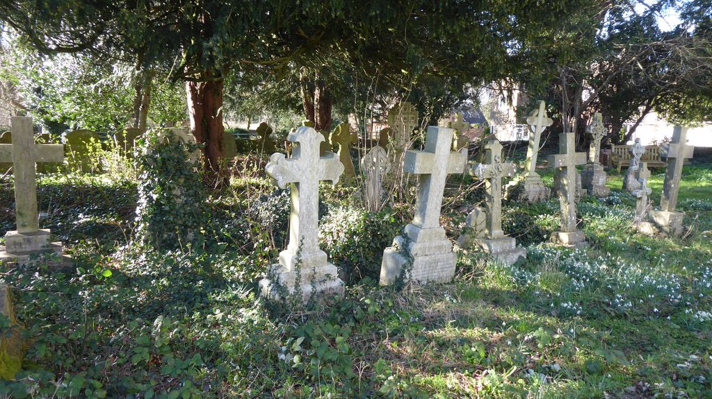
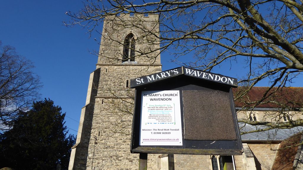
| Description | : | The church is the oldest surviving building in Wavendon, but there is nothing identifiable earlier than the 13th c. The west tower was added in the 15th c. In 1848-49 the structure was substantially restored and modernized by the eminent architect, William Butterfield. Several of the walls were rebuilt or re-faced, and the north vestry was added. The south porch together with the west door and window above it also date from this time. The windows at the west end of the North and South Aisles contain some pieces of 15th c. glass in the top tracery Most of the windows... Read More |
frequently asked questions (FAQ):
-
Where is St. Mary's Churchyard?
St. Mary's Churchyard is located at Walton Road Wavendon, Milton Keynes Borough ,Buckinghamshire , MK17 8LWEngland.
-
St. Mary's Churchyard cemetery's updated grave count on graveviews.com?
0 memorials
-
Where are the coordinates of the St. Mary's Churchyard?
Latitude: 52.0257000
Longitude: -0.6730000
Nearby Cemetories:
1. Woburn Sands & Aspley Heath War Memorial
Woburn, Central Bedfordshire Unitary Authority, England
Coordinate: 52.0115470, -0.6473350
2. St. Michael's Churchyard
Woburn Sands, Milton Keynes Borough, England
Coordinate: 52.0087770, -0.6485350
3. St. Michael's Churchyard Open University
Milton Keynes Borough, England
Coordinate: 52.0233487, -0.7118339
4. St Marys Roman Catholic Cemetery
Woburn Sands, Milton Keynes Borough, England
Coordinate: 52.0103000, -0.6413000
5. All Saints Churchyard
Bow Brickhill, Milton Keynes Borough, England
Coordinate: 52.0005240, -0.6737110
6. All Saints Churchyard Extension
Bow Brickhill, Milton Keynes Borough, England
Coordinate: 52.0002300, -0.6737940
7. St. Thomas' Churchyard
Simpson, Milton Keynes Borough, England
Coordinate: 52.0170487, -0.7142377
8. All Saints Churchyard
Milton Keynes, Milton Keynes Borough, England
Coordinate: 52.0438000, -0.7070000
9. St. Mary the Virgin Churchyard
Salford, Central Bedfordshire Unitary Authority, England
Coordinate: 52.0424070, -0.6368910
10. St. Botolph's Churchyard
Aspley Guise, Central Bedfordshire Unitary Authority, England
Coordinate: 52.0166510, -0.6281470
11. St. Lawrence's Churchyard
Broughton, Milton Keynes Borough, England
Coordinate: 52.0522000, -0.6980000
12. St Marys Churchyard
Woughton on the Green, Milton Keynes Borough, England
Coordinate: 52.0298869, -0.7234442
13. St Nicholas Churchyard
Hulcote, Central Bedfordshire Unitary Authority, England
Coordinate: 52.0399000, -0.6246000
14. Holy Trinity Churchyard
Milton Keynes, Milton Keynes Borough, England
Coordinate: 52.0390700, -0.7253500
15. Holy Trinity Churchyard
Woolstone, Milton Keynes Borough, England
Coordinate: 52.0450548, -0.7245233
16. St. Martin's Churchyard
Fenny Stratford, Milton Keynes Borough, England
Coordinate: 51.9982400, -0.7157800
17. St James Churchyard
Husborne Crawley, Central Bedfordshire Unitary Authority, England
Coordinate: 52.0162250, -0.6090110
18. Assumption of the Blessed Virgin Mary Churchyard
Moulsoe, Milton Keynes Borough, England
Coordinate: 52.0666500, -0.6790070
19. Bletchley Cemetery
Bletchley, Milton Keynes Borough, England
Coordinate: 51.9947900, -0.7189600
20. St. Mary Magdalene Churchyard
Little Brickhill, Milton Keynes Borough, England
Coordinate: 51.9831000, -0.6763200
21. Willen Churchyard
Campbell Park, Milton Keynes Borough, England
Coordinate: 52.0624000, -0.7200000
22. St. Mary's Churchyard
Woburn, Central Bedfordshire Unitary Authority, England
Coordinate: 51.9896000, -0.6199000
23. St. Mary's Churchyard
Bletchley, Milton Keynes Borough, England
Coordinate: 51.9960183, -0.7444740
24. Whalley Drive Cemetery
Bletchley, Milton Keynes Borough, England
Coordinate: 51.9964870, -0.7456010

