
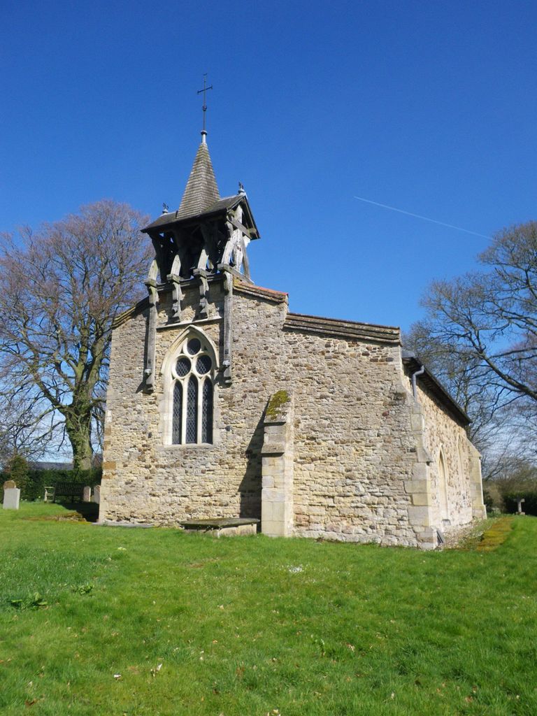
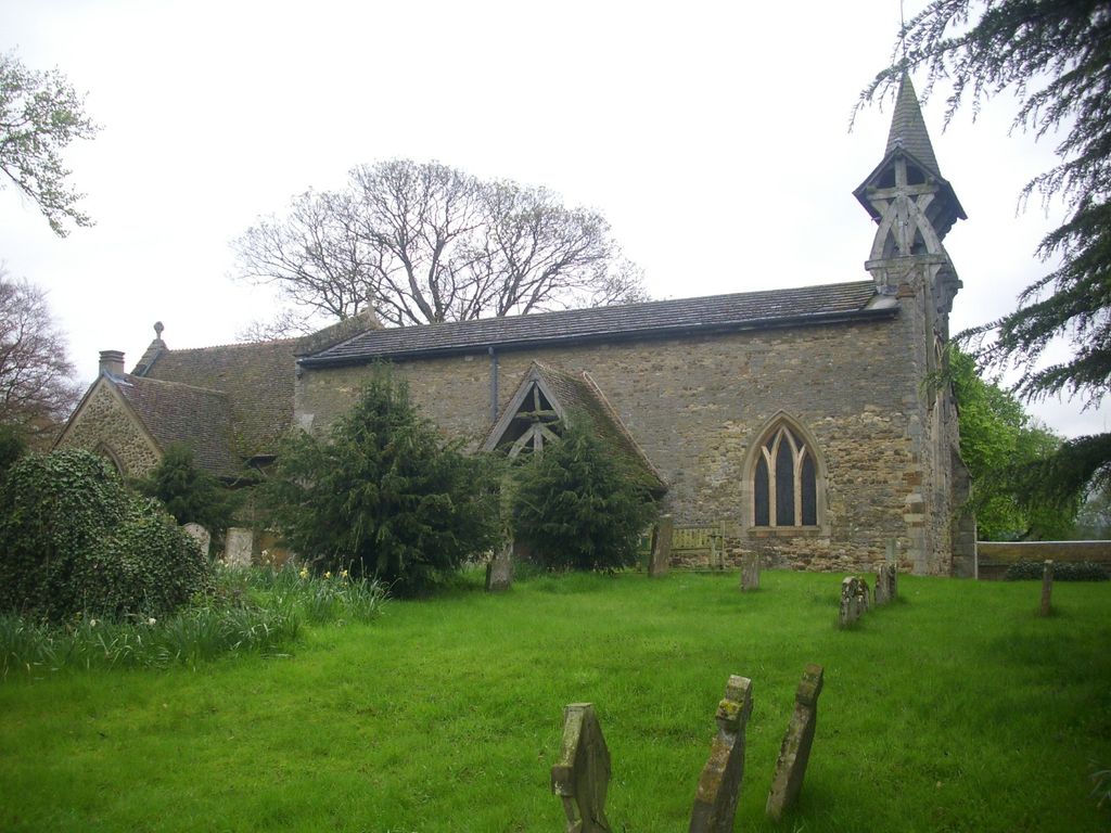
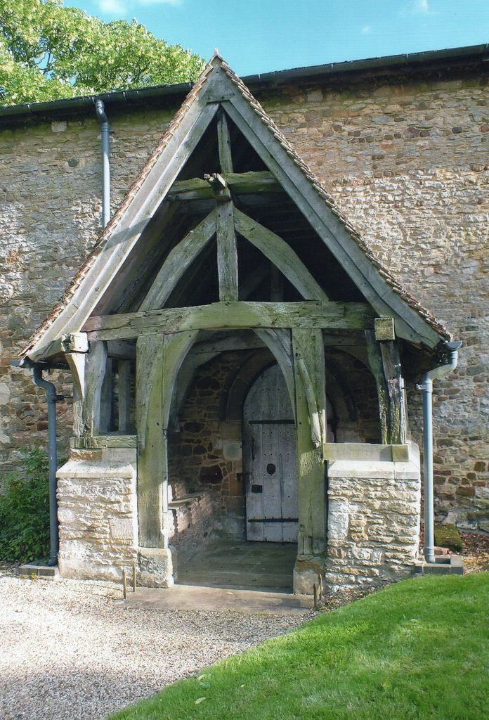
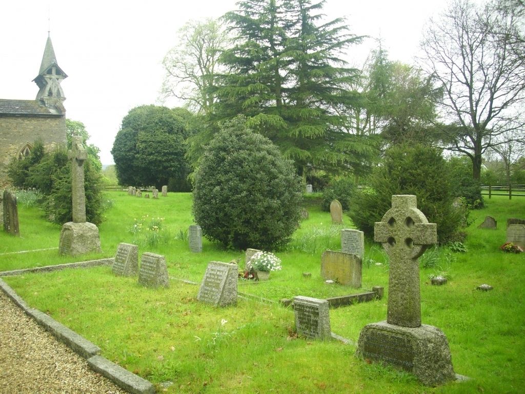
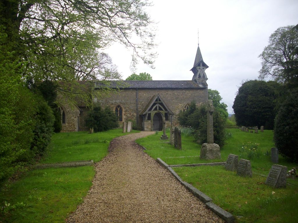
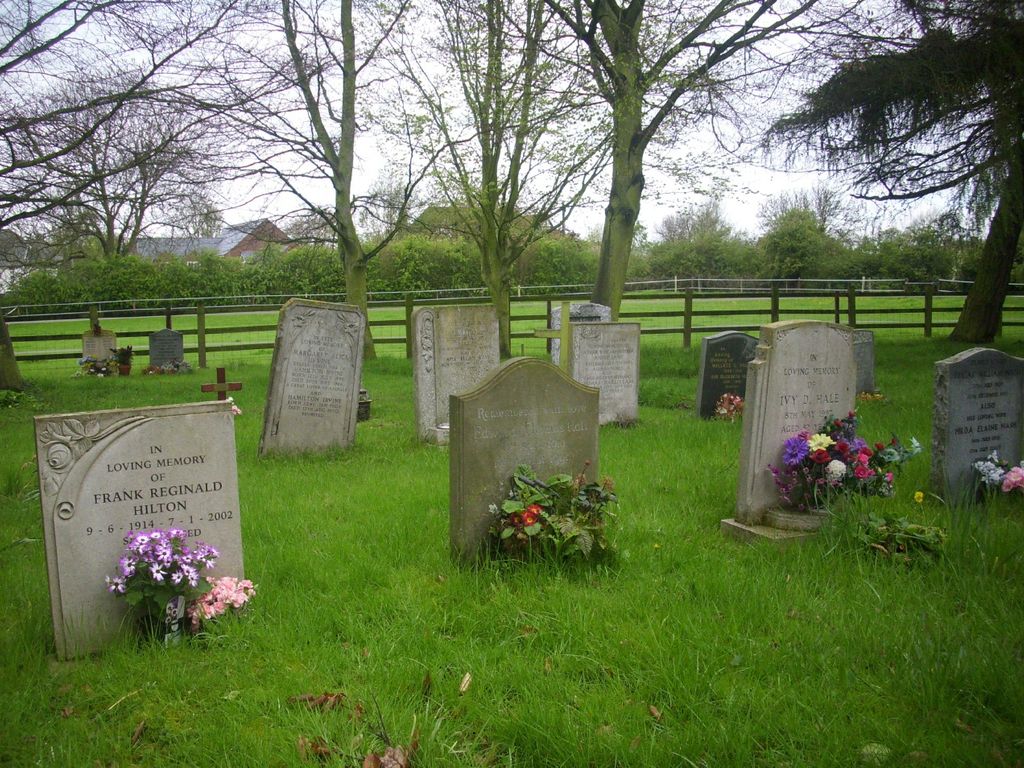
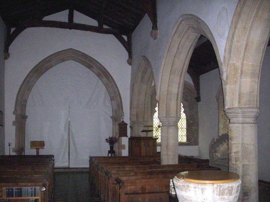
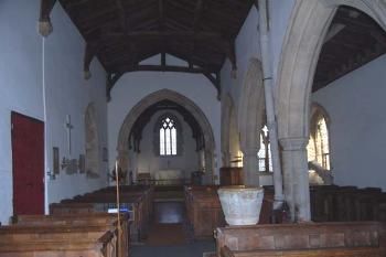
| Memorials | : | 0 |
| Location | : | Salford, Central Bedfordshire Unitary Authority, England |
| Coordinate | : | 52.0424070, -0.6368910 |
frequently asked questions (FAQ):
-
Where is St. Mary the Virgin Churchyard?
St. Mary the Virgin Churchyard is located at Salford, Central Bedfordshire Unitary Authority ,Bedfordshire ,England.
-
St. Mary the Virgin Churchyard cemetery's updated grave count on graveviews.com?
0 memorials
-
Where are the coordinates of the St. Mary the Virgin Churchyard?
Latitude: 52.0424070
Longitude: -0.6368910
Nearby Cemetories:
1. St Nicholas Churchyard
Hulcote, Central Bedfordshire Unitary Authority, England
Coordinate: 52.0399000, -0.6246000
2. St. Botolph's Churchyard
Aspley Guise, Central Bedfordshire Unitary Authority, England
Coordinate: 52.0166510, -0.6281470
3. St. Mary's Churchyard
Wavendon, Milton Keynes Borough, England
Coordinate: 52.0257000, -0.6730000
4. St James Churchyard
Husborne Crawley, Central Bedfordshire Unitary Authority, England
Coordinate: 52.0162250, -0.6090110
5. St Peter and St Paul Churchyard
Cranfield, Central Bedfordshire Unitary Authority, England
Coordinate: 52.0679750, -0.6071570
6. Woburn Sands & Aspley Heath War Memorial
Woburn, Central Bedfordshire Unitary Authority, England
Coordinate: 52.0115470, -0.6473350
7. Mount Zion Burial Ground
Cranfield, Central Bedfordshire Unitary Authority, England
Coordinate: 52.0703595, -0.6110791
8. St Marys Roman Catholic Cemetery
Woburn Sands, Milton Keynes Borough, England
Coordinate: 52.0103000, -0.6413000
9. Cranfield Cemetery
Cranfield, Central Bedfordshire Unitary Authority, England
Coordinate: 52.0683000, -0.6041200
10. St. Michael's Churchyard
Woburn Sands, Milton Keynes Borough, England
Coordinate: 52.0087770, -0.6485350
11. Assumption of the Blessed Virgin Mary Churchyard
Moulsoe, Milton Keynes Borough, England
Coordinate: 52.0666500, -0.6790070
12. St. Lawrence's Churchyard
Broughton, Milton Keynes Borough, England
Coordinate: 52.0522000, -0.6980000
13. All Saints Churchyard
Milton Keynes, Milton Keynes Borough, England
Coordinate: 52.0438000, -0.7070000
14. Cranfield Friend's Burial Ground
Cranfield, Central Bedfordshire Unitary Authority, England
Coordinate: 52.0820192, -0.5998549
15. All Saints Churchyard
Bow Brickhill, Milton Keynes Borough, England
Coordinate: 52.0005240, -0.6737110
16. All Saints Churchyard Extension
Bow Brickhill, Milton Keynes Borough, England
Coordinate: 52.0002300, -0.6737940
17. St. Michael's Churchyard Open University
Milton Keynes Borough, England
Coordinate: 52.0233487, -0.7118339
18. All Saint's Churchyard
Ridgmont, Central Bedfordshire Unitary Authority, England
Coordinate: 52.0117910, -0.5719780
19. St. Firmin Churchyard
North Crawley, Milton Keynes Borough, England
Coordinate: 52.0924400, -0.6485000
20. St. Mary's Churchyard
Woburn, Central Bedfordshire Unitary Authority, England
Coordinate: 51.9896000, -0.6199000
21. St. Thomas' Churchyard
Simpson, Milton Keynes Borough, England
Coordinate: 52.0170487, -0.7142377
22. Holy Trinity Churchyard
Woolstone, Milton Keynes Borough, England
Coordinate: 52.0450548, -0.7245233
23. Holy Trinity Churchyard
Milton Keynes, Milton Keynes Borough, England
Coordinate: 52.0390700, -0.7253500
24. St Marys Churchyard
Woughton on the Green, Milton Keynes Borough, England
Coordinate: 52.0298869, -0.7234442