
| Memorials | : | 23 |
| Location | : | Evershot, West Dorset District, England |
| Coordinate | : | 50.8383970, -2.6082280 |
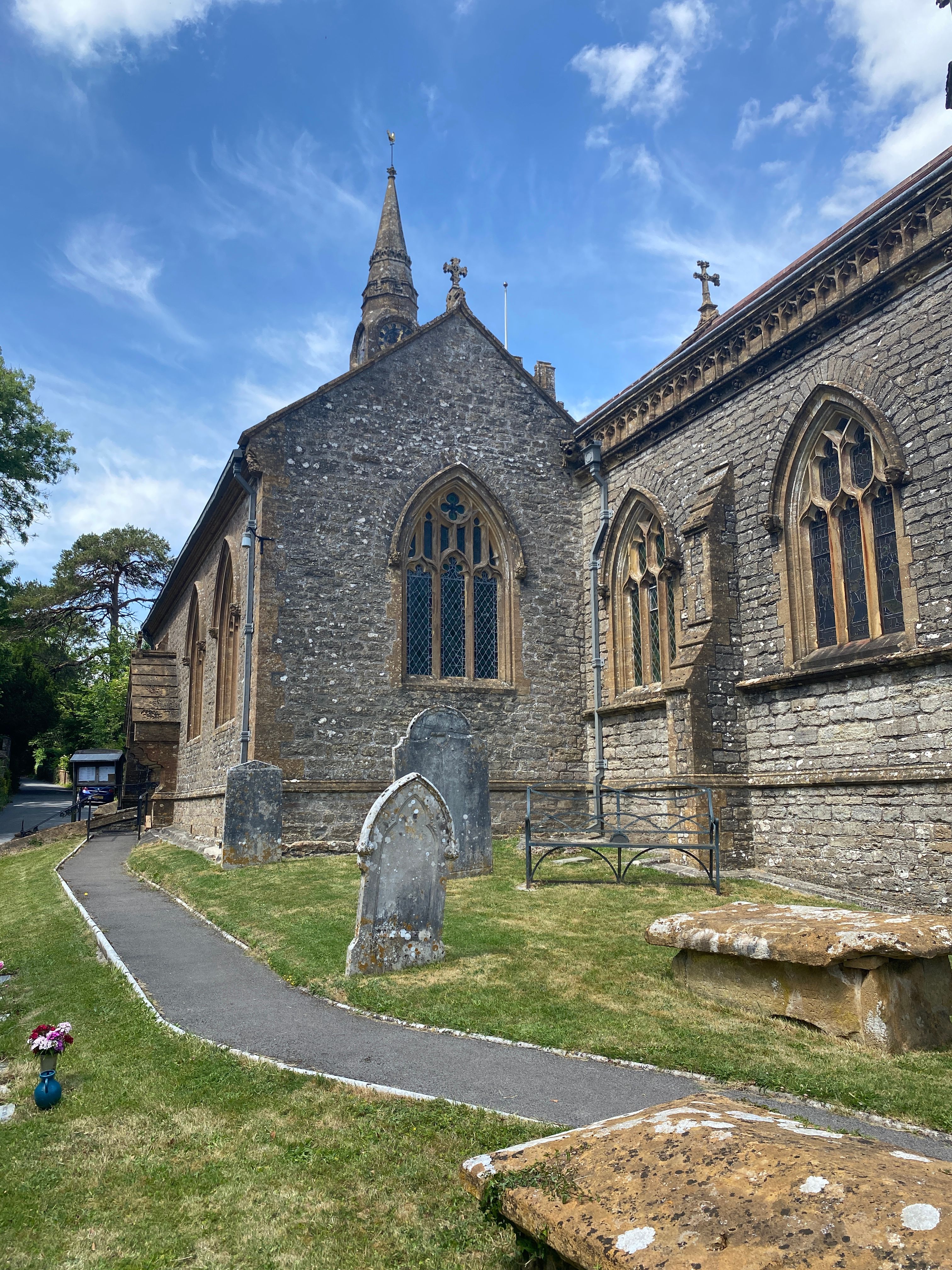
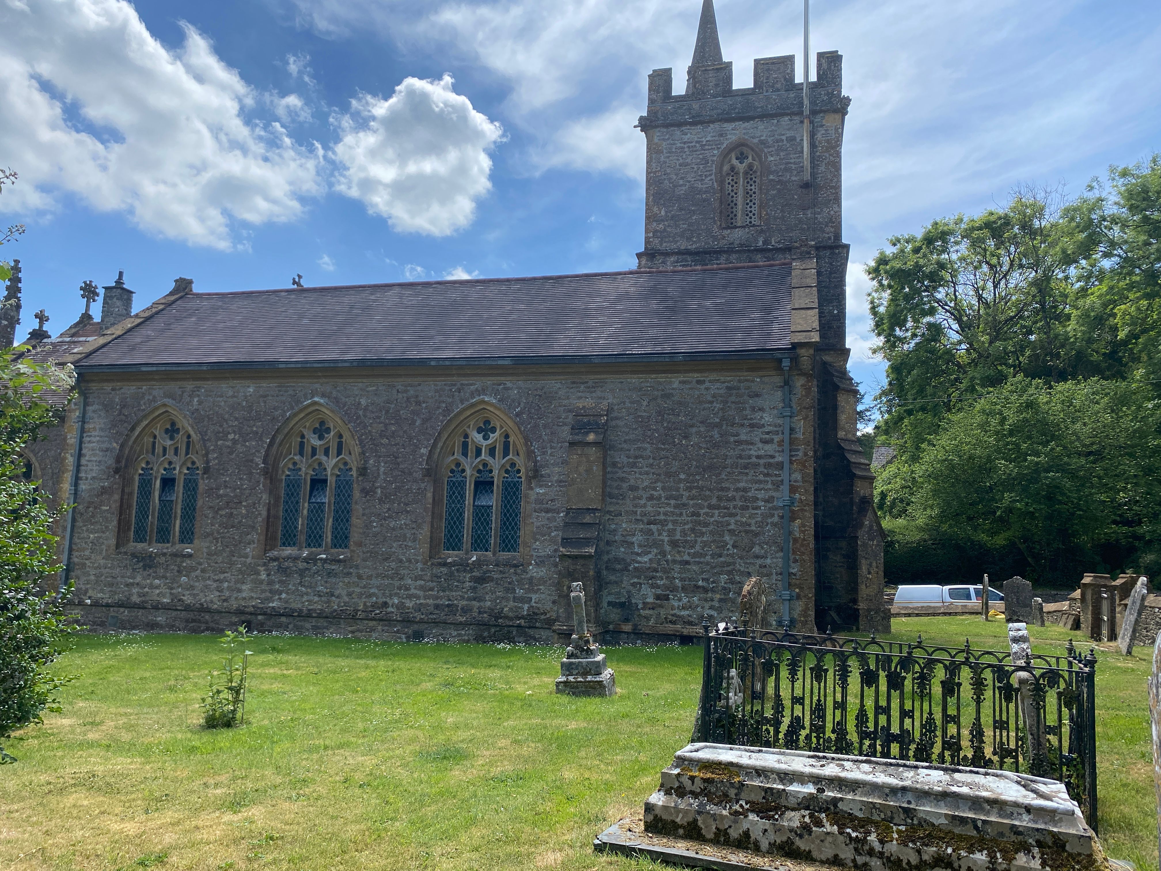
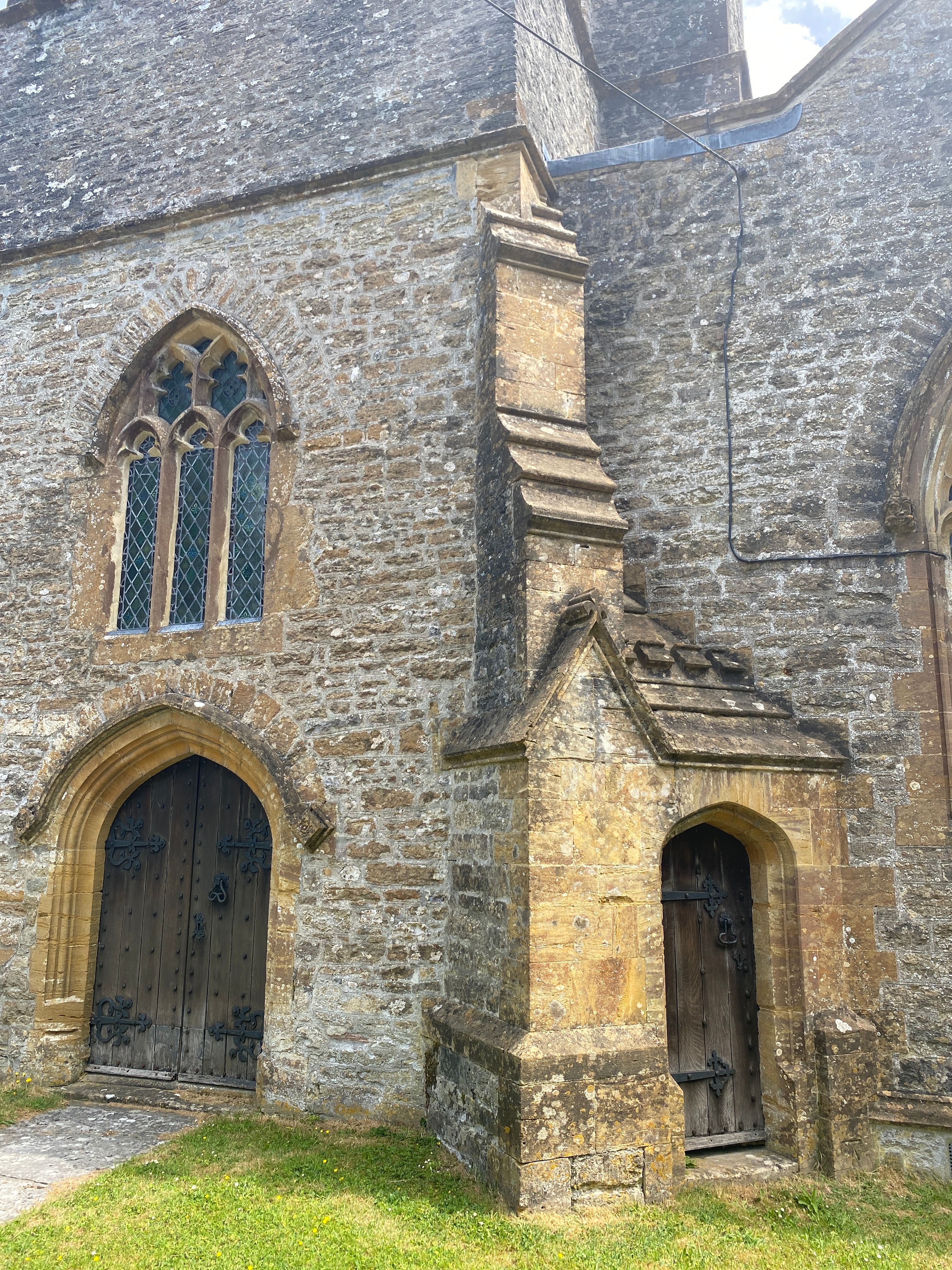
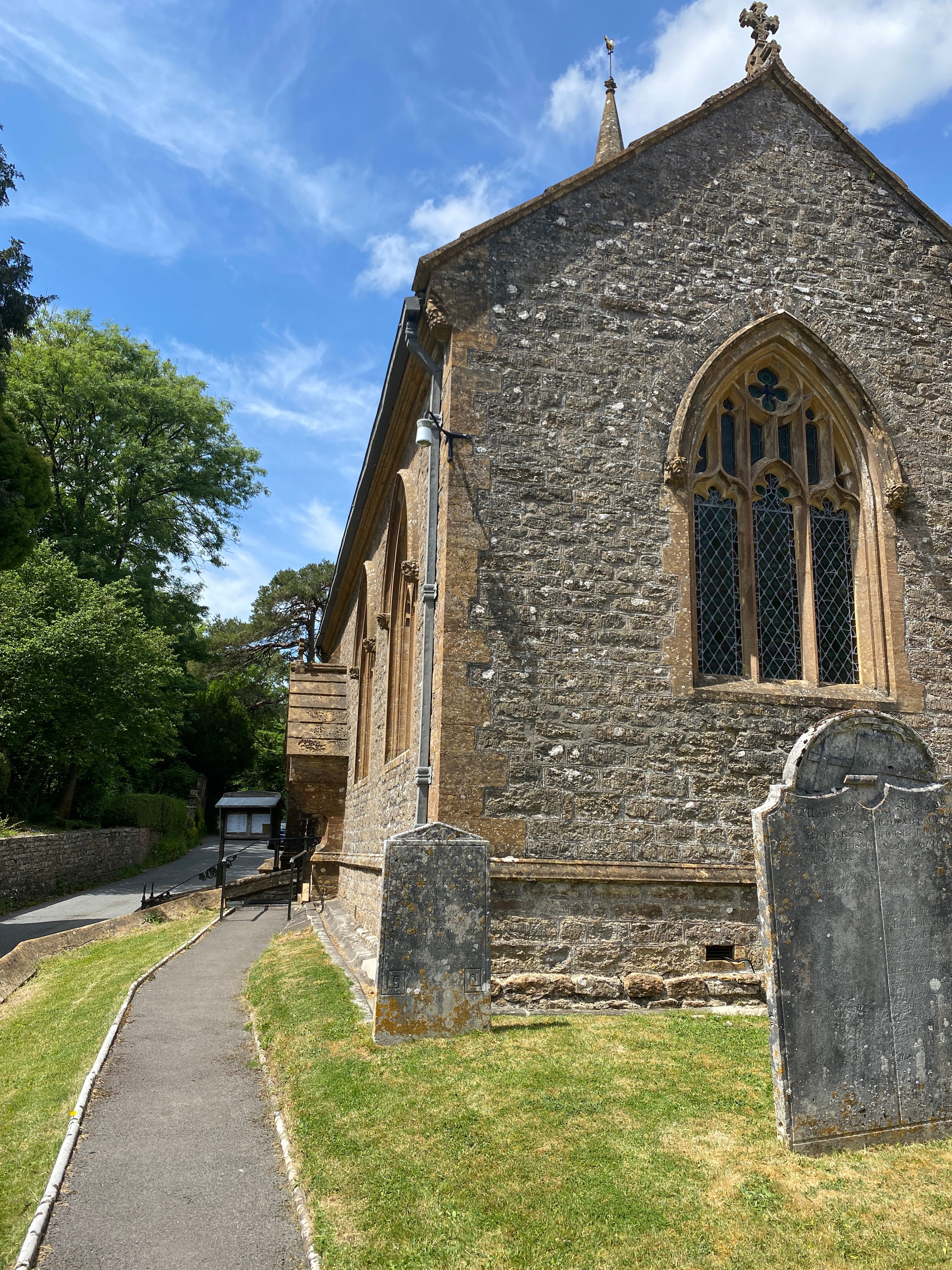
| Description | : | The church is built upon the remnants of an old Norman church and was most recently renovated in the 19th century. Most of the graves in the cemetery date from the 18th century onwards. There is a new section of the cemetery to the east of the church. |
frequently asked questions (FAQ):
-
Where is St. Osmund's Churchyard?
St. Osmund's Churchyard is located at Fore Street Evershot, West Dorset District ,Dorset , DT2 0JWEngland.
-
St. Osmund's Churchyard cemetery's updated grave count on graveviews.com?
23 memorials
-
Where are the coordinates of the St. Osmund's Churchyard?
Latitude: 50.8383970
Longitude: -2.6082280
Nearby Cemetories:
1. St Mary's Chapel
Melbury Sampford, West Dorset District, England
Coordinate: 50.8515000, -2.6022600
2. St Michael and All Angels Churchyard
Rampisham, West Dorset District, England
Coordinate: 50.8177970, -2.6236380
3. St. Mary the Virgin
Melbury Bubb, West Dorset District, England
Coordinate: 50.8571090, -2.5751350
4. St. Osmond's Churchyard
Melbury Osmond, West Dorset District, England
Coordinate: 50.8684120, -2.6067439
5. St. Peter’s Churchyard
Chetnole, West Dorset District, England
Coordinate: 50.8718521, -2.5666604
6. St. Mary's Churchyard
Halstock, West Dorset District, England
Coordinate: 50.8703000, -2.6555900
7. St. Mary's Churchyard
Corscombe, West Dorset District, England
Coordinate: 50.8413300, -2.6797630
8. St. Peter and St. Paul Churchyard
Cattistock, West Dorset District, England
Coordinate: 50.7939600, -2.5810920
9. St. Giles' Churchyard
Hooke, West Dorset District, England
Coordinate: 50.7991490, -2.6606080
10. Hilfield Friary (Society of St. Francis)
Hilfield, West Dorset District, England
Coordinate: 50.8385230, -2.5252120
11. Holy Trinity Churchyard
Chilfrome, West Dorset District, England
Coordinate: 50.7874620, -2.5823870
12. Saint Roch Church Churchyard
South Somerset District, England
Coordinate: 50.8923000, -2.6198000
13. St. Andrew's Churchyard
Leigh, West Dorset District, England
Coordinate: 50.8761580, -2.5443780
14. Hilfield Chapel
Hilfield, West Dorset District, England
Coordinate: 50.8442800, -2.5199520
15. St. Hippolytus Churchyard
Ryme Intrinseca, West Dorset District, England
Coordinate: 50.8956530, -2.5962310
16. St. Mary's Churchyard
Maiden Newton, West Dorset District, England
Coordinate: 50.7791380, -2.5739770
17. St. Michael’s Churchyard
Beer Hackett, West Dorset District, England
Coordinate: 50.9040180, -2.5703420
18. The Church of St Francis
Frome Vauchurch, West Dorset District, England
Coordinate: 50.7730030, -2.5691890
19. St. Michael and All Angels Churchyard
East Coker, South Somerset District, England
Coordinate: 50.9073181, -2.6572940
20. St James Cemetery
Chedington, West Dorset District, England
Coordinate: 50.8473070, -2.7275580
21. All Saints Churchyard
Mapperton, West Dorset District, England
Coordinate: 50.7943046, -2.7060315
22. East Coker Cemetery
East Coker, South Somerset District, England
Coordinate: 50.9104300, -2.6546930
23. St. Andrew's Churchyard
Minterne Magna, West Dorset District, England
Coordinate: 50.8375700, -2.4848100
24. Saint Mary Magdalene Church
Barwick, South Somerset District, England
Coordinate: 50.9225000, -2.6302000