
| Memorials | : | 64 |
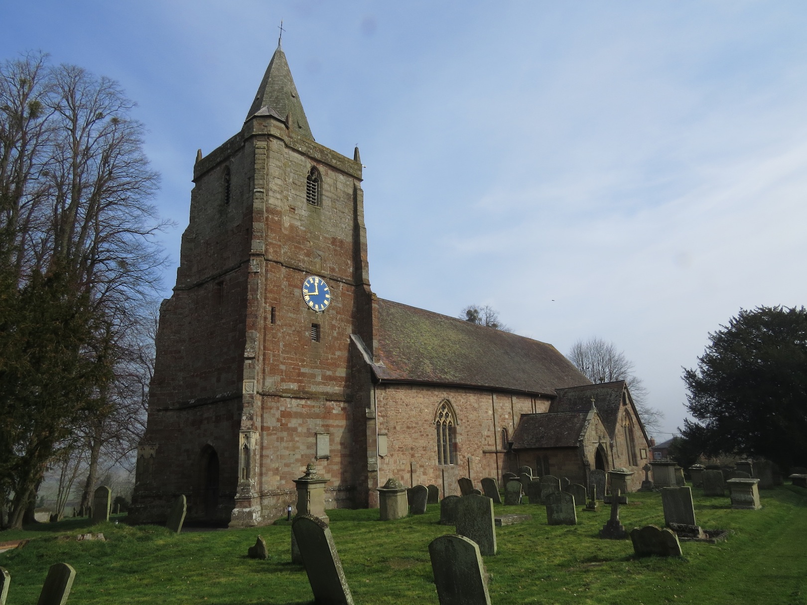
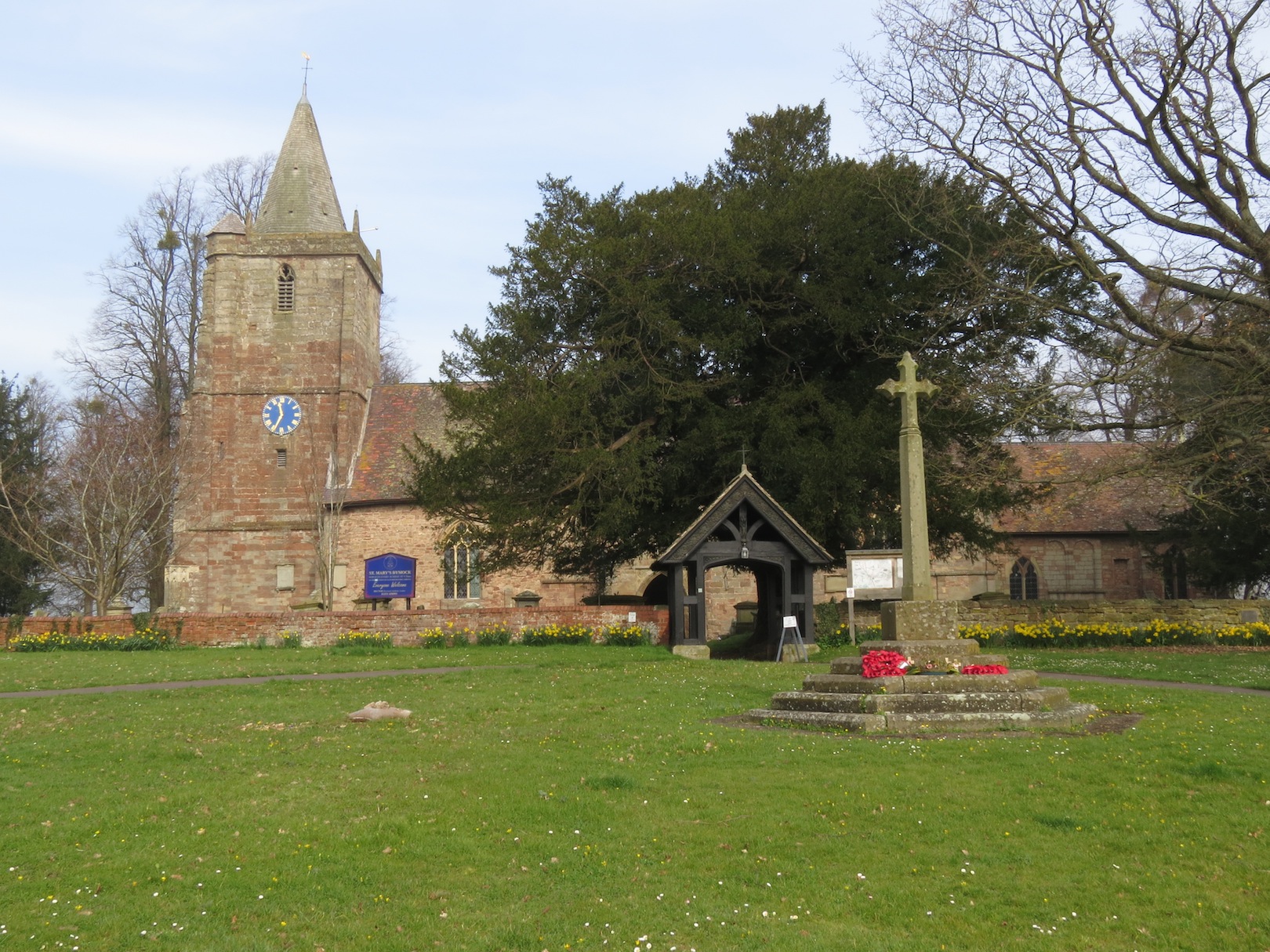
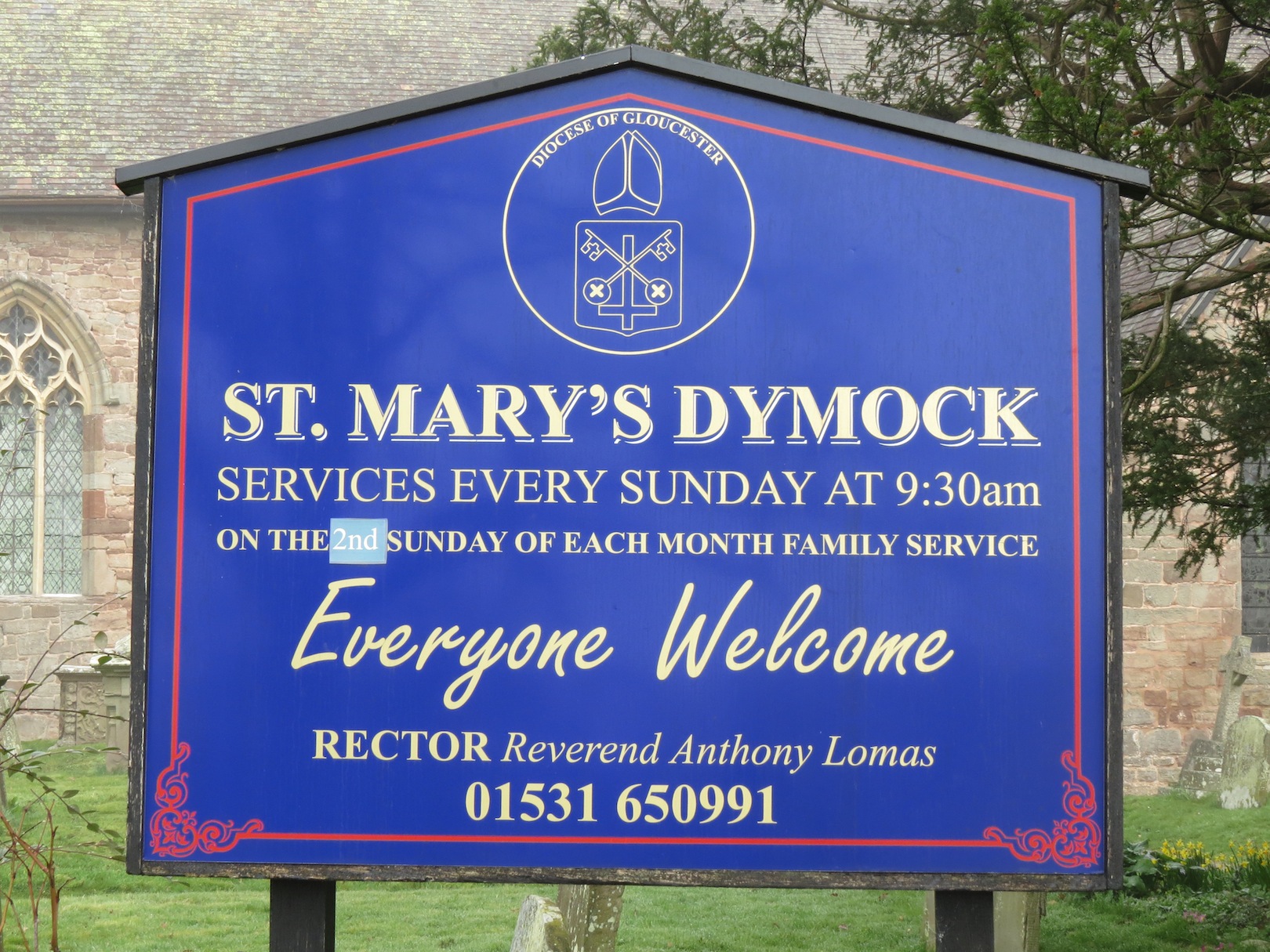
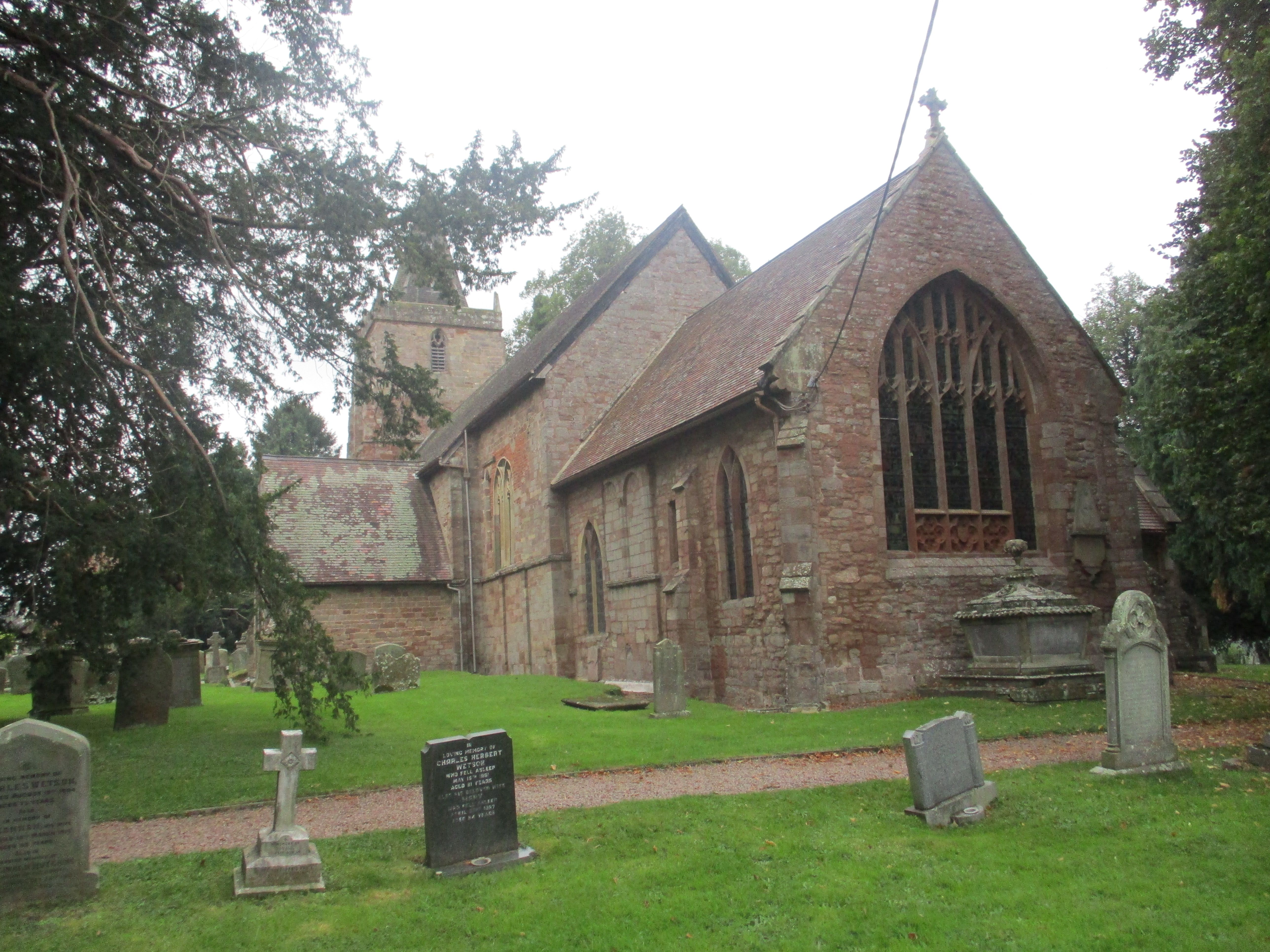
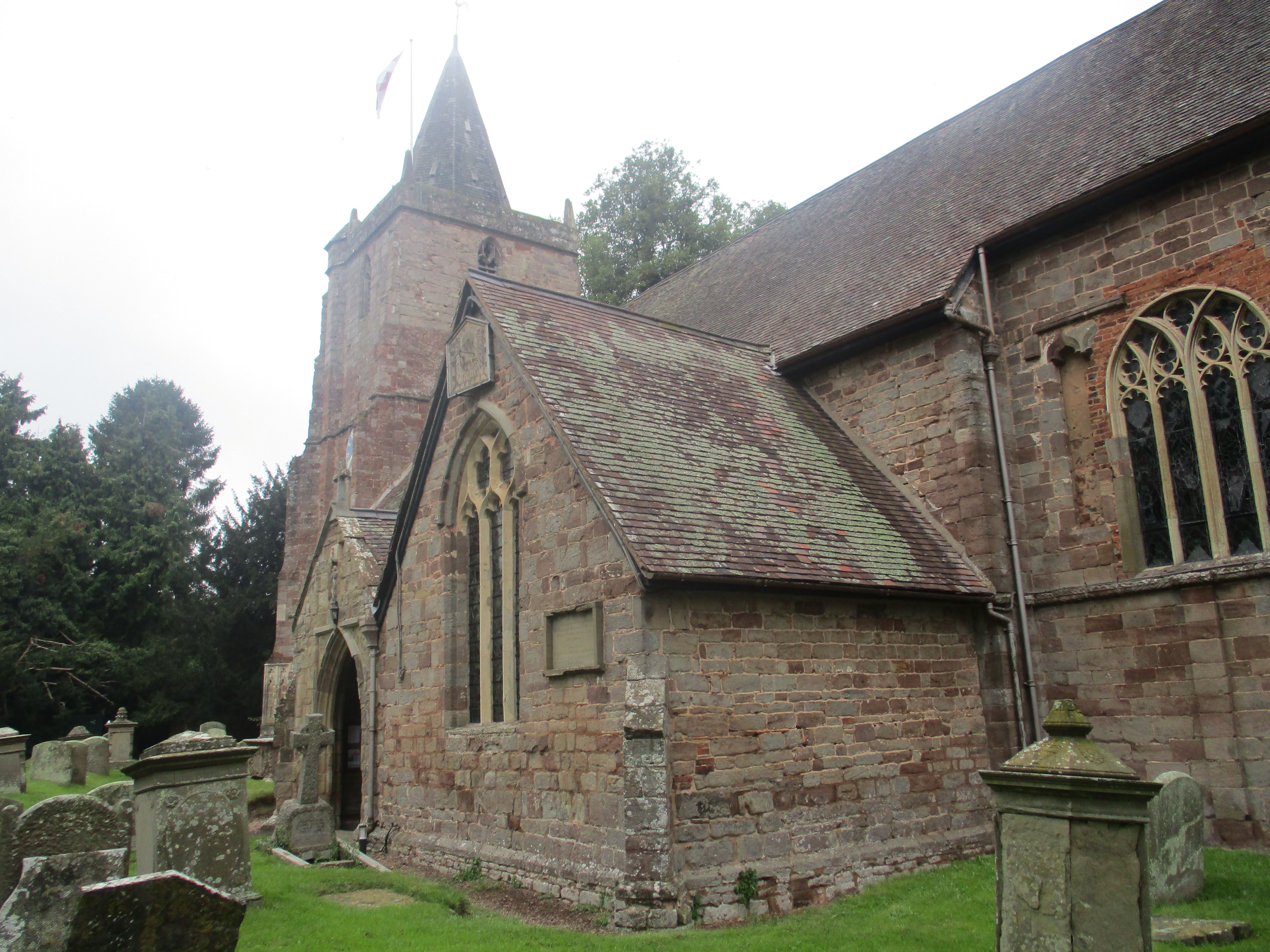
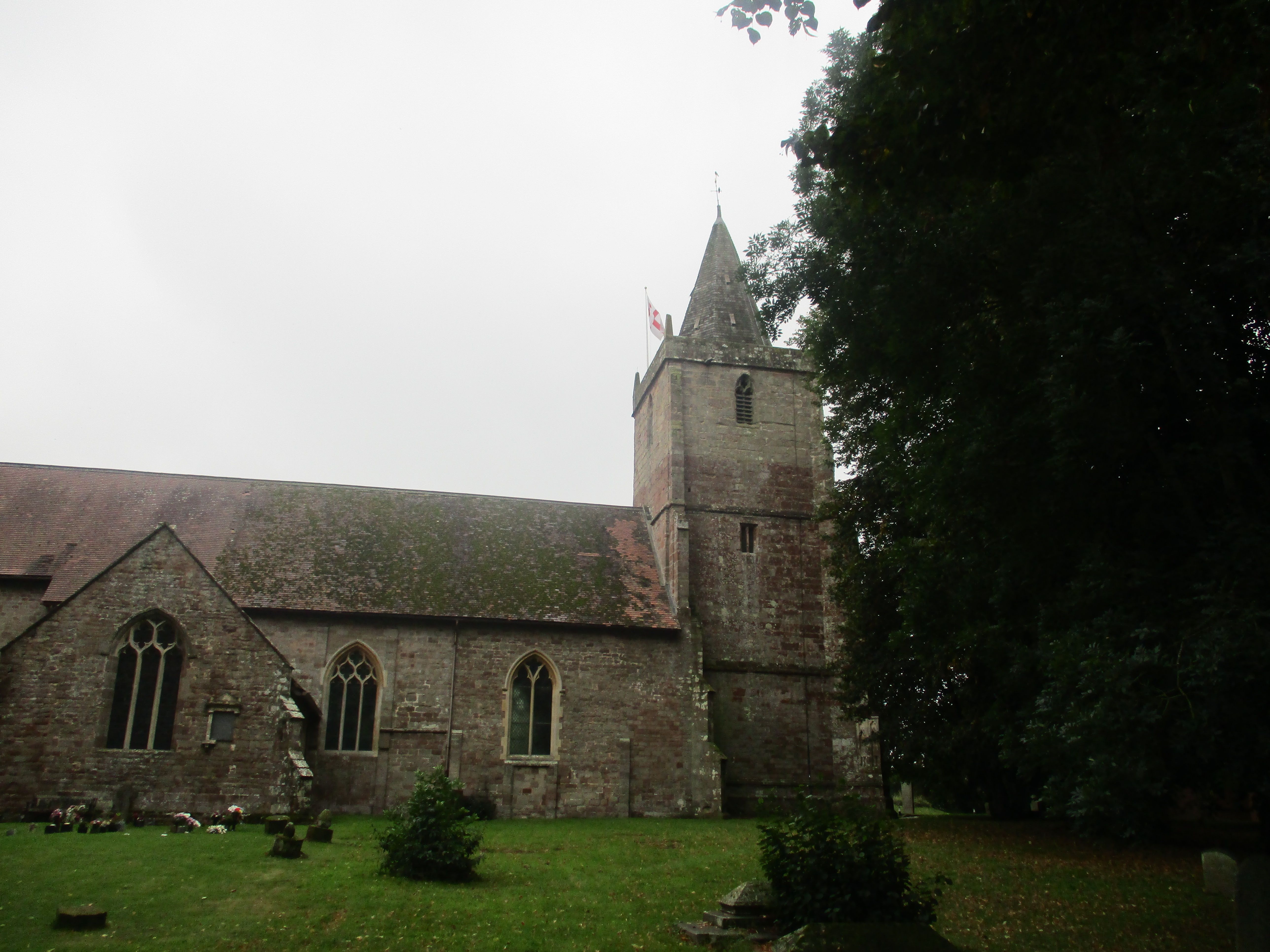
| Location | : | Dymock, Forest of Dean District, England |
| Coordinate | : | 51.9793264, -2.4376889 |
frequently asked questions (FAQ):
-
Where is St Mary's Churchyard?
St Mary's Churchyard is located at Dymock, Forest of Dean District ,Gloucestershire ,England.
-
St Mary's Churchyard cemetery's updated grave count on graveviews.com?
64 memorials
-
Where are the coordinates of the St Mary's Churchyard?
Latitude: 51.9793264
Longitude: -2.4376889


Nearby Cemetories:
1. St Anne's Churchyard
Oxenhall, Forest of Dean District, England
Coordinate: 51.9383000, -2.4212000
2. St Mary the Virgin Churchyard
Bromsberrow, Forest of Dean District, England
Coordinate: 52.0008740, -2.3768560
3. St. Bartholomew's Churchyard
Redmarley, Forest of Dean District, England
Coordinate: 51.9795670, -2.3622700
4. St. John the Evangelist Churchyard
Pauntley, Forest of Dean District, England
Coordinate: 51.9588610, -2.3670030
5. Christ Church Churchyard
Gorsley, Forest of Dean District, England
Coordinate: 51.9291294, -2.4559924
6. Ledbury Cemetery
Ledbury, Herefordshire Unitary Authority, England
Coordinate: 52.0308400, -2.4331830
7. Newent Cemetery
Newent, Forest of Dean District, England
Coordinate: 51.9272500, -2.4135730
8. St. Michael Churchyard
Little Marcle, Herefordshire Unitary Authority, England
Coordinate: 52.0265561, -2.4820253
9. St. Michael and All Angels Churchyard
Ledbury, Herefordshire Unitary Authority, England
Coordinate: 52.0369300, -2.4199360
10. St. John the Baptist
Eastnor, Herefordshire Unitary Authority, England
Coordinate: 52.0330980, -2.3932590
11. St. Mary's Churchyard
Linton, Herefordshire Unitary Authority, England
Coordinate: 51.9254120, -2.4957470
12. St. Mary the Virgin Churchyard
Upleadon, Forest of Dean District, England
Coordinate: 51.9406240, -2.3378190
13. All Saints Churchyard
Hollybush, Malvern Hills District, England
Coordinate: 52.0282510, -2.3384140
14. St Andrew and St Mary Churchyard
How Caple, Herefordshire Unitary Authority, England
Coordinate: 51.9719160, -2.5666430
15. St Faith Churchyard
Berrow, Malvern Hills District, England
Coordinate: 52.0065770, -2.3018720
16. All Saints Churchyard
Brockhampton, Herefordshire Unitary Authority, England
Coordinate: 51.9863200, -2.5924500
17. St Mary's Churchyard
Foy, Herefordshire Unitary Authority, England
Coordinate: 51.9520402, -2.5866687
18. St. Peter and St. Paul Churchyard
Birtsmorton, Malvern Hills District, England
Coordinate: 52.0176100, -2.2912600
19. St. Michael and All Angels Churchyard
Brampton Abbots, Herefordshire Unitary Authority, England
Coordinate: 51.9347980, -2.5817590
20. St. Mary the Virgin Churchyard
Hartpury, Forest of Dean District, England
Coordinate: 51.9110277, -2.3204027
21. St. Gregory Churchyard
Castlemorton, Malvern Hills District, England
Coordinate: 52.0332900, -2.3003800
22. Little Malvern Priory
Little Malvern, Malvern Hills District, England
Coordinate: 52.0612500, -2.3365800
23. All Saints Churchyard
Coddington, Herefordshire Unitary Authority, England
Coordinate: 52.0820020, -2.4123970
24. All Saints Churchyard
Longhope, Forest of Dean District, England
Coordinate: 51.8756910, -2.4597020