
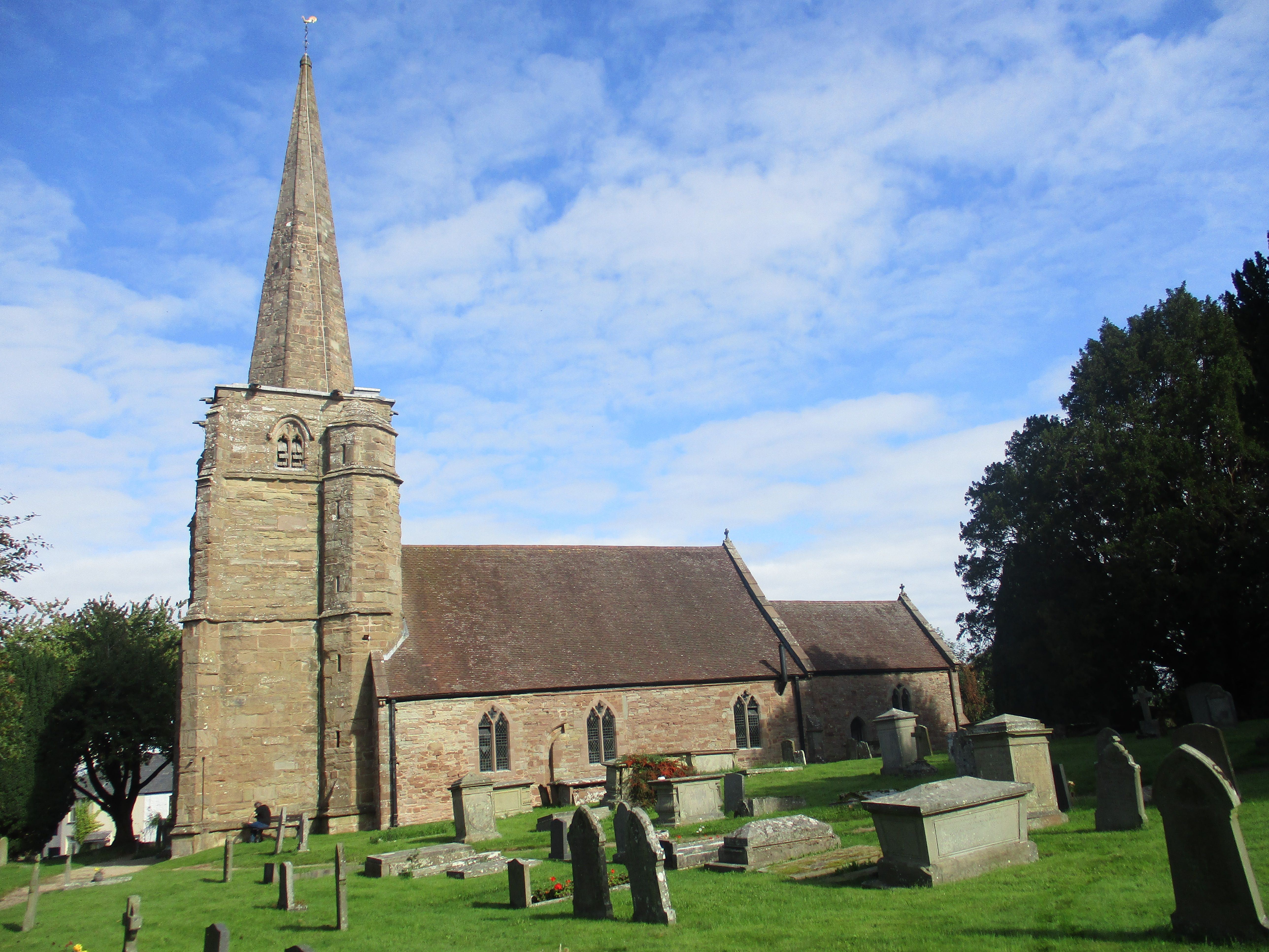
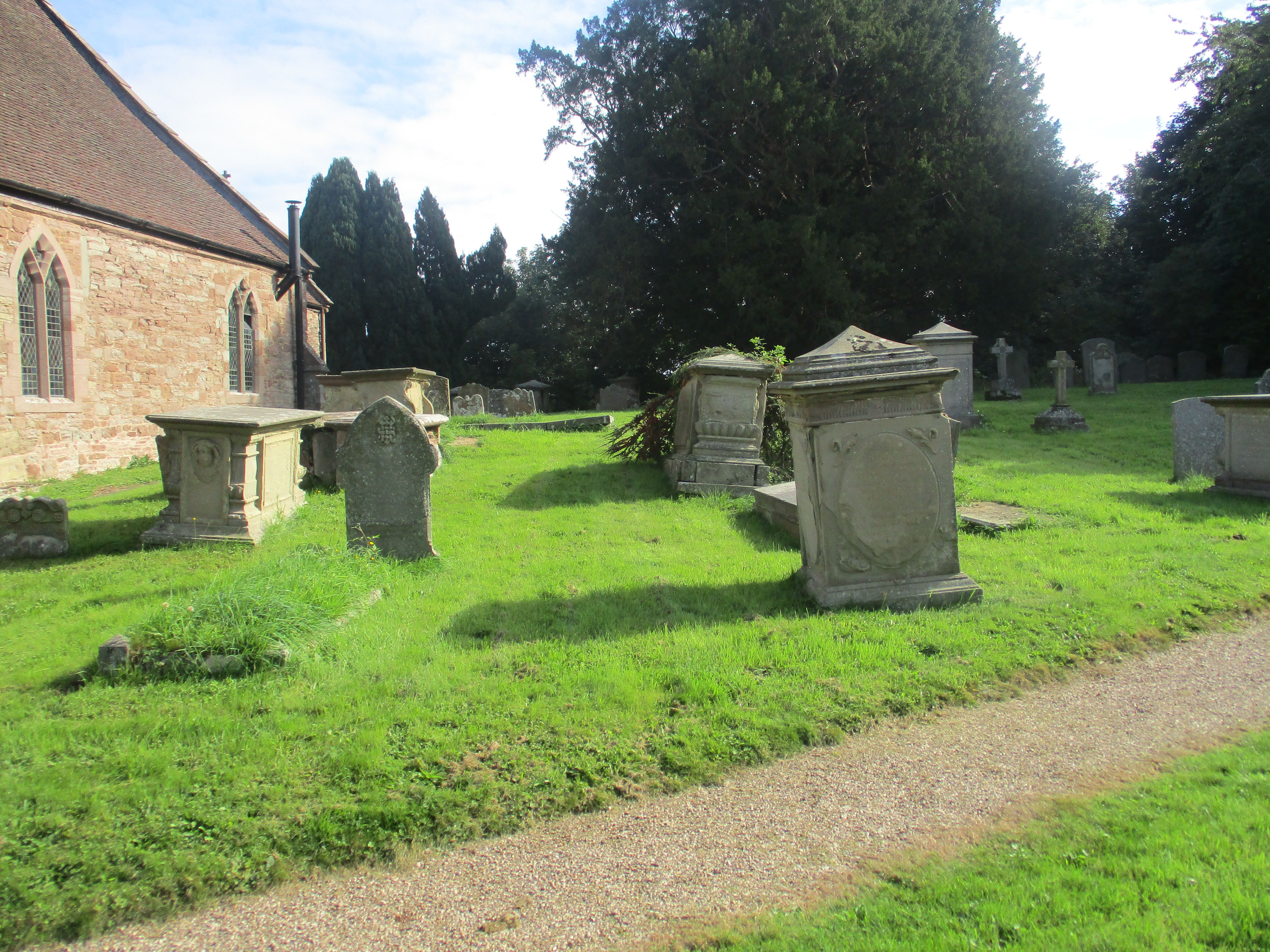
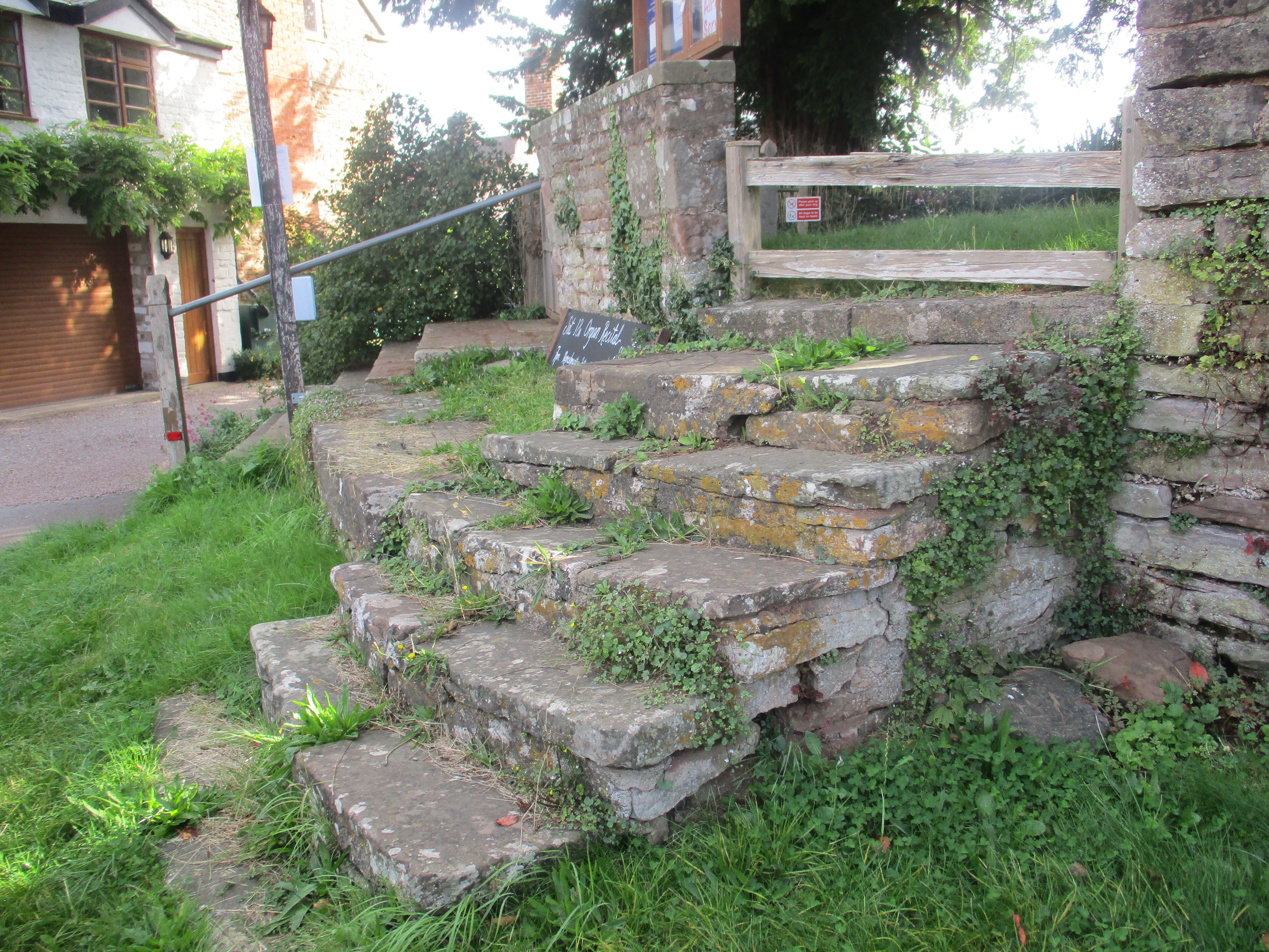
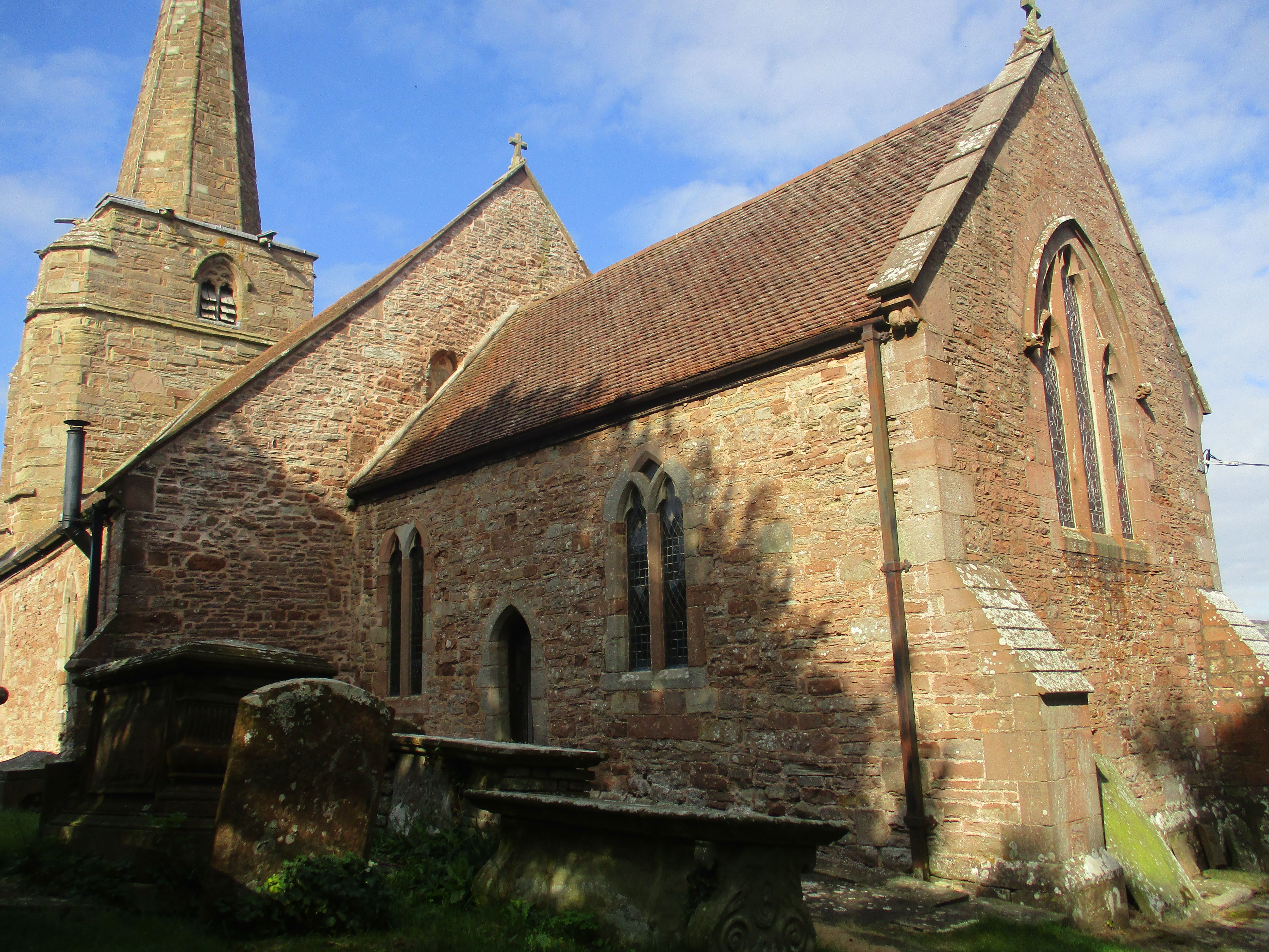
| Memorials | : | 143 |
| Location | : | Linton, Herefordshire Unitary Authority, England |
| Coordinate | : | 51.9254120, -2.4957470 |
frequently asked questions (FAQ):
-
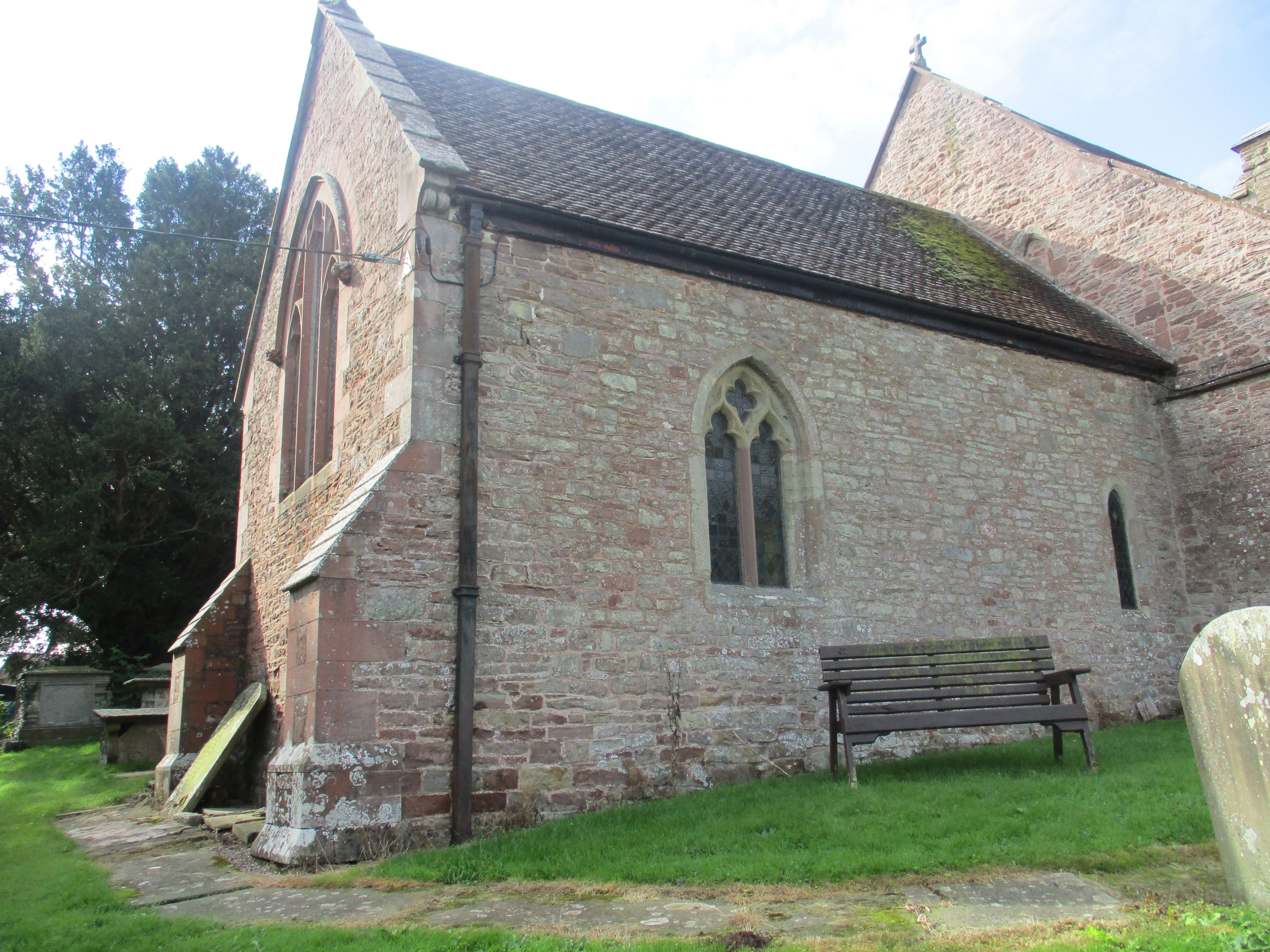
Where is St. Mary's Churchyard?
St. Mary's Churchyard is located at Linton, Herefordshire Unitary Authority ,Herefordshire ,England.
-
St. Mary's Churchyard cemetery's updated grave count on graveviews.com?
143 memorials
-
Where are the coordinates of the St. Mary's Churchyard?
Latitude: 51.9254120
Longitude: -2.4957470
Nearby Cemetories:
1. Christ Church Churchyard
Gorsley, Forest of Dean District, England
Coordinate: 51.9291294, -2.4559924
2. St Anne's Churchyard
Oxenhall, Forest of Dean District, England
Coordinate: 51.9383000, -2.4212000
3. Newent Cemetery
Newent, Forest of Dean District, England
Coordinate: 51.9272500, -2.4135730
4. St. Michael and All Angels Churchyard
Brampton Abbots, Herefordshire Unitary Authority, England
Coordinate: 51.9347980, -2.5817590
5. All Saints Churchyard
Longhope, Forest of Dean District, England
Coordinate: 51.8756910, -2.4597020
6. St. Michael and all Angels Churchyard
Mitcheldean, Forest of Dean District, England
Coordinate: 51.8646000, -2.4904000
7. St Mary's Churchyard
Foy, Herefordshire Unitary Authority, England
Coordinate: 51.9520402, -2.5866687
8. St Andrew and St Mary Churchyard
How Caple, Herefordshire Unitary Authority, England
Coordinate: 51.9719160, -2.5666430
9. St Mary's Churchyard
Dymock, Forest of Dean District, England
Coordinate: 51.9793264, -2.4376889
10. St Bridget Churchyard
Bridstow, Herefordshire Unitary Authority, England
Coordinate: 51.9204600, -2.6055410
11. St. Michael's Churchyard
Abenhall, Forest of Dean District, England
Coordinate: 51.8544700, -2.4786520
12. St John the Baptist Churchyard
Huntley, Forest of Dean District, England
Coordinate: 51.8712980, -2.4068210
13. St. John the Baptist Churchyard
Ruardean, Forest of Dean District, England
Coordinate: 51.8564500, -2.5515220
14. Holy Trinity Churchyard
Drybrook, Forest of Dean District, England
Coordinate: 51.8460500, -2.5125400
15. All Saints Churchyard
Bishopswood, Herefordshire Unitary Authority, England
Coordinate: 51.8635318, -2.5852627
16. All Saints Churchyard
Brockhampton, Herefordshire Unitary Authority, England
Coordinate: 51.9863200, -2.5924500
17. St. John the Evangelist Churchyard
Pauntley, Forest of Dean District, England
Coordinate: 51.9588610, -2.3670030
18. Flaxley Abbey
Flaxley, Forest of Dean District, England
Coordinate: 51.8362390, -2.4511420
19. St Mary the Virgin Churchyard
Flaxley, Forest of Dean District, England
Coordinate: 51.8356600, -2.4535600
20. St Dubricius' Church
Ballingham, Herefordshire Unitary Authority, England
Coordinate: 51.9818590, -2.6186990
21. St John The Baptist Churchyard
Kings Caple, Herefordshire Unitary Authority, England
Coordinate: 51.9562740, -2.6433720
22. St. Bartholomew's Churchyard
Redmarley, Forest of Dean District, England
Coordinate: 51.9795670, -2.3622700
23. St. Mary the Virgin Churchyard
Upleadon, Forest of Dean District, England
Coordinate: 51.9406240, -2.3378190
24. The Parish Church of the Holy Jesus
Lydbrook, Forest of Dean District, England
Coordinate: 51.8376080, -2.5774900