| Memorials | : | 3 |
| Location | : | Welwyn, Welwyn Hatfield District, England |
| Coordinate | : | 51.8311660, -0.2151400 |
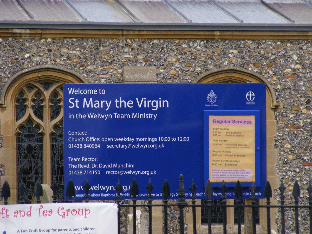
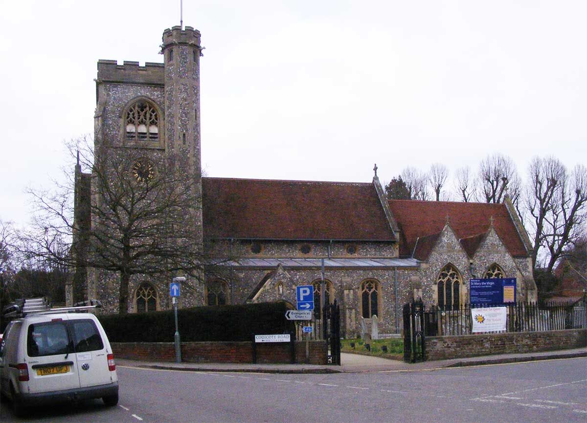
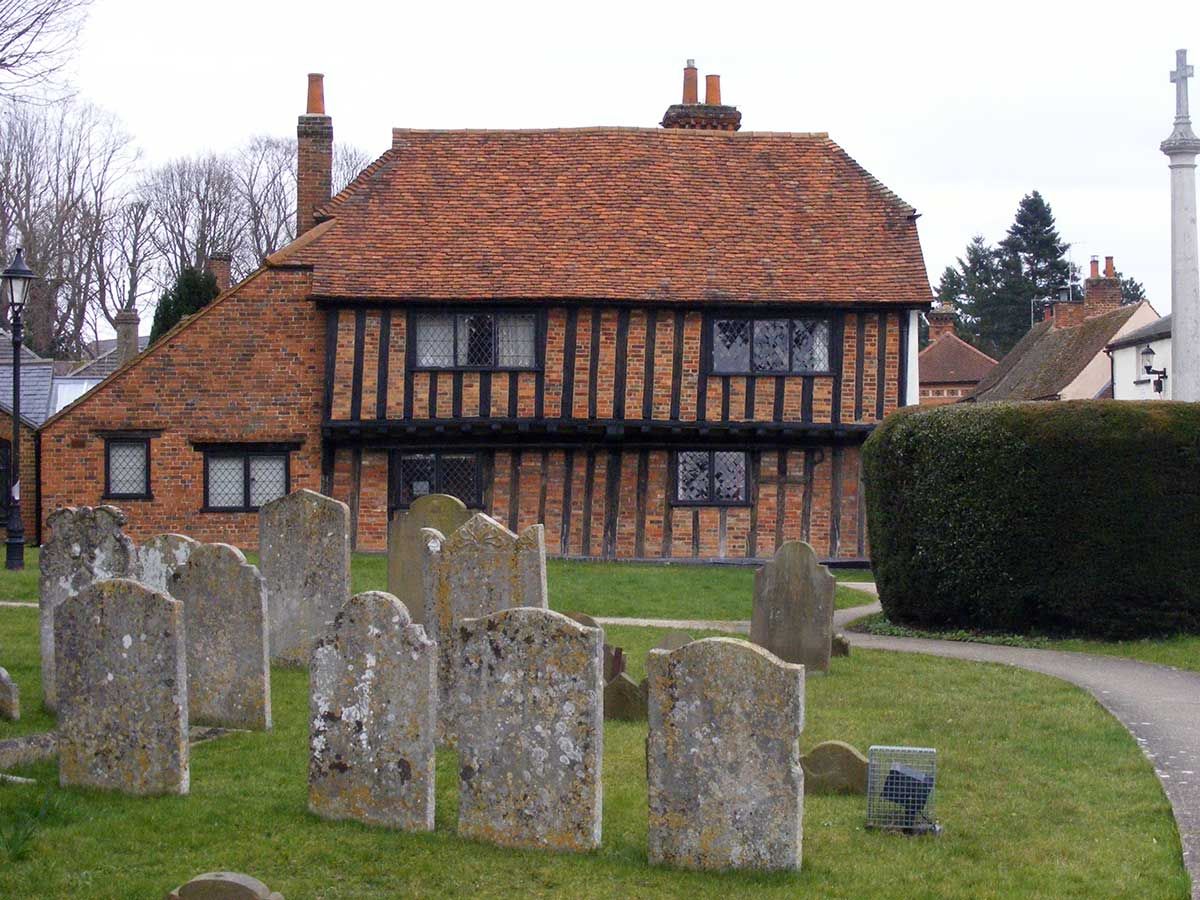
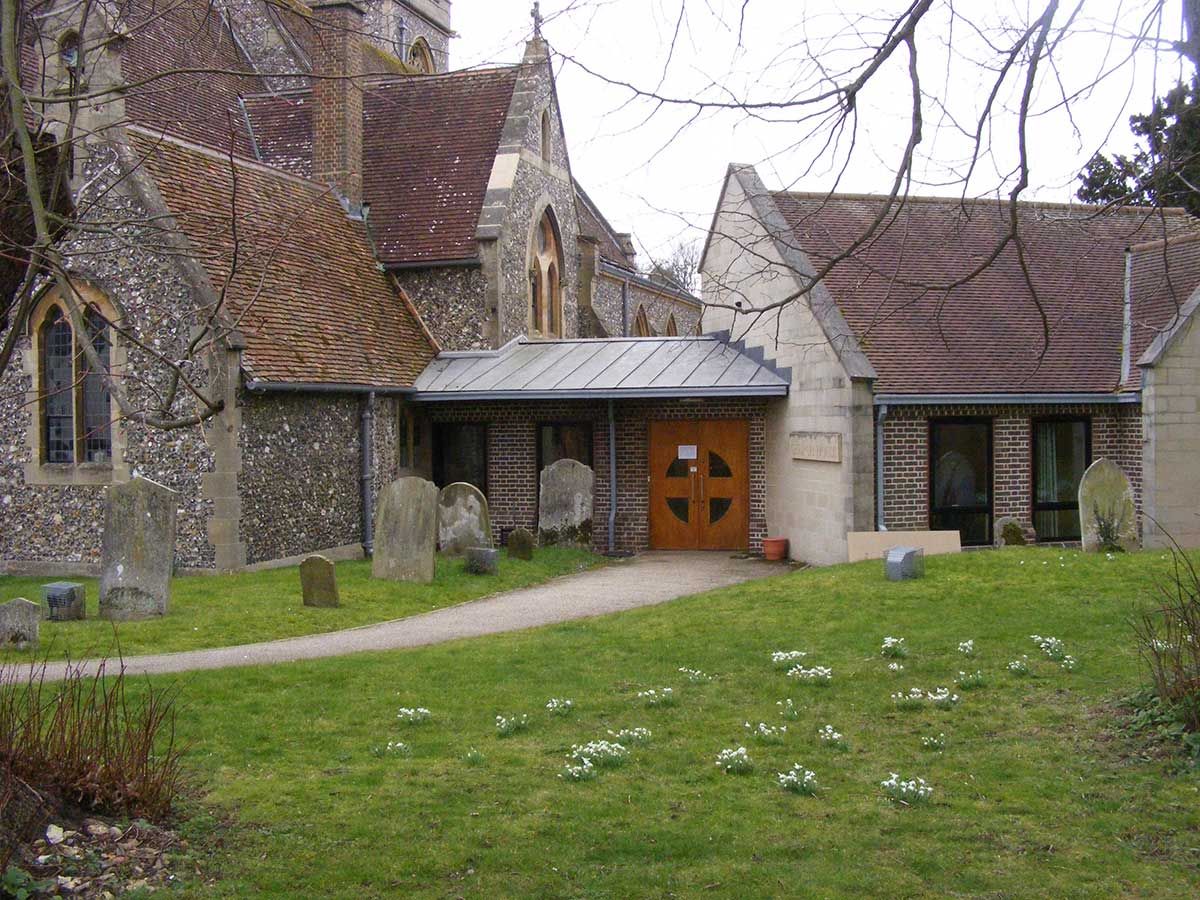
| Description | : | The present beautiful church of St Mary the Virgin at old Welwyn is the result of many changes and additions to the original building, which took place principally after 1800, funded by local benefactors. However there was probably a church here as early as the 13th century. The churchyard was extended in 1858 and closed to burials in 1882 when it became full. A report of 1878 had estimated from parish registers that 4,588 people had been buried in the churchyard since 1558, but only 100 graves are now marked by stones; the inscriptions were recorded by the Welwyn Archaeological Society... Read More |
frequently asked questions (FAQ):
-
Where is St. Mary's Churchyard?
St. Mary's Churchyard is located at 1 Church St Welwyn, Welwyn Hatfield District ,Hertfordshire , AL6 9LXEngland.
-
St. Mary's Churchyard cemetery's updated grave count on graveviews.com?
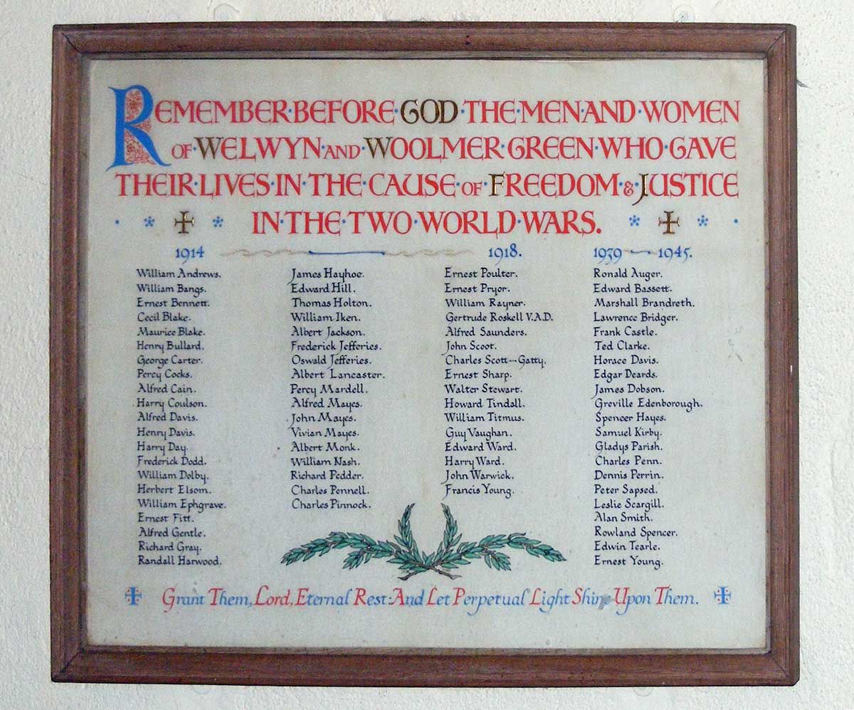
3 memorials
-
Where are the coordinates of the St. Mary's Churchyard?
Latitude: 51.8311660
Longitude: -0.2151400
Nearby Cemetories:
1. Welwyn Cemetery
Welwyn, Welwyn Hatfield District, England
Coordinate: 51.8331340, -0.2199520
2. St John the Evangelist Churchyard
Digswell, Welwyn Hatfield District, England
Coordinate: 51.8186190, -0.2051940
3. St Peter Churchyard
Ayot St Peter, Welwyn Hatfield District, England
Coordinate: 51.8201700, -0.2331800
4. Ayot St Lawrence Old Churchyard
Ayot St Lawrence, Welwyn Hatfield District, England
Coordinate: 51.8377038, -0.2678795
5. Knebworth Cemetery
Knebworth, North Hertfordshire District, England
Coordinate: 51.8595280, -0.1867730
6. St Lawrence Churchyard
Ayot St Lawrence, Welwyn Hatfield District, England
Coordinate: 51.8379490, -0.2717340
7. St John the Evangelist Churchyard
Lemsford, Welwyn Hatfield District, England
Coordinate: 51.7934510, -0.2355890
8. St Martin
Knebworth, North Hertfordshire District, England
Coordinate: 51.8654900, -0.1820500
9. St. Mary's Churchyard
Knebworth, North Hertfordshire District, England
Coordinate: 51.8723580, -0.2160890
10. All Saints Churchyard
Datchworth, East Hertfordshire District, England
Coordinate: 51.8575577, -0.1609916
11. Harwood Park Crematorium
Stevenage, Stevenage Borough, England
Coordinate: 51.8717680, -0.1698410
12. Ss Peter and Paul Churchyard
Kimpton, North Hertfordshire District, England
Coordinate: 51.8527990, -0.2918240
13. St. Helen's Churchyard
Wheathampstead, St Albans District, England
Coordinate: 51.8124510, -0.2946400
14. Wheathampstead United Churchyard
Wheathampstead, St Albans District, England
Coordinate: 51.8108170, -0.2972210
15. St Andrew Church
Bramfield, East Hertfordshire District, England
Coordinate: 51.8241000, -0.1266000
16. All Saints Churchyard
St Pauls Walden, North Hertfordshire District, England
Coordinate: 51.8865400, -0.2689200
17. St. Luke's Churchyard
Hatfield, Welwyn Hatfield District, England
Coordinate: 51.7643980, -0.2237710
18. St. Mary's Churchyard
Aston, East Hertfordshire District, England
Coordinate: 51.8875600, -0.1536200
19. Ss Mary and Andrew Churchyard
Watton-at-Stone, East Hertfordshire District, England
Coordinate: 51.8533290, -0.1102500
20. St. Etheldreda Churchyard
Hatfield, Welwyn Hatfield District, England
Coordinate: 51.7614490, -0.2120150
21. Hatfield Estate
Hatfield, Welwyn Hatfield District, England
Coordinate: 51.7606100, -0.2092010
22. St Mary the Virgin Churchyard
Stapleford, East Hertfordshire District, England
Coordinate: 51.8349710, -0.0973140
23. St Leonard Churchyard & Extension
Sandridge, St Albans District, England
Coordinate: 51.7813690, -0.3036580
24. St Michael and All Angels Churchyard
Waterford, East Hertfordshire District, England
Coordinate: 51.8152260, -0.0971940

