
| Memorials | : | 0 |
| Location | : | Sandridge, St Albans District, England |
| Coordinate | : | 51.7813690, -0.3036580 |
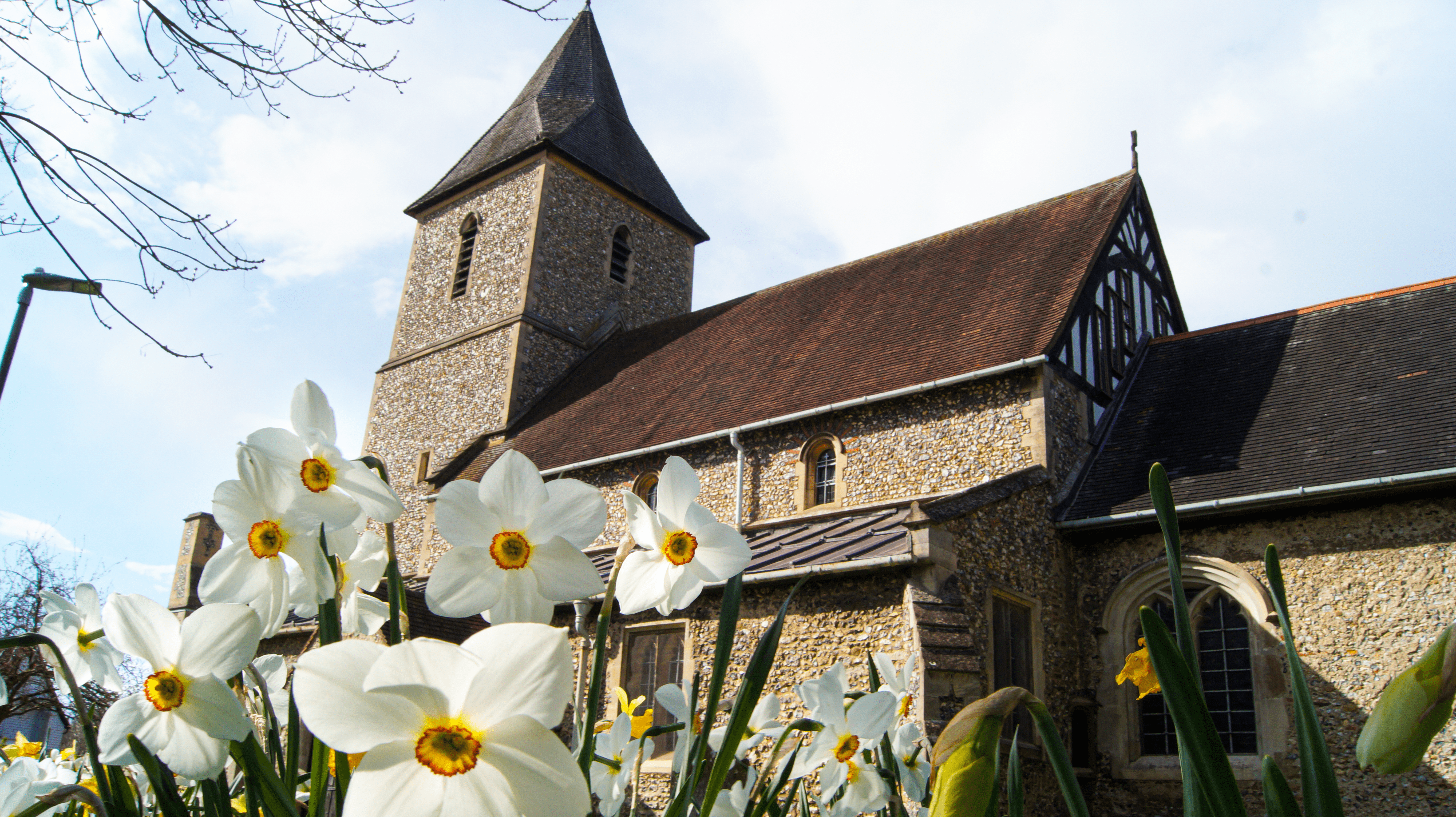
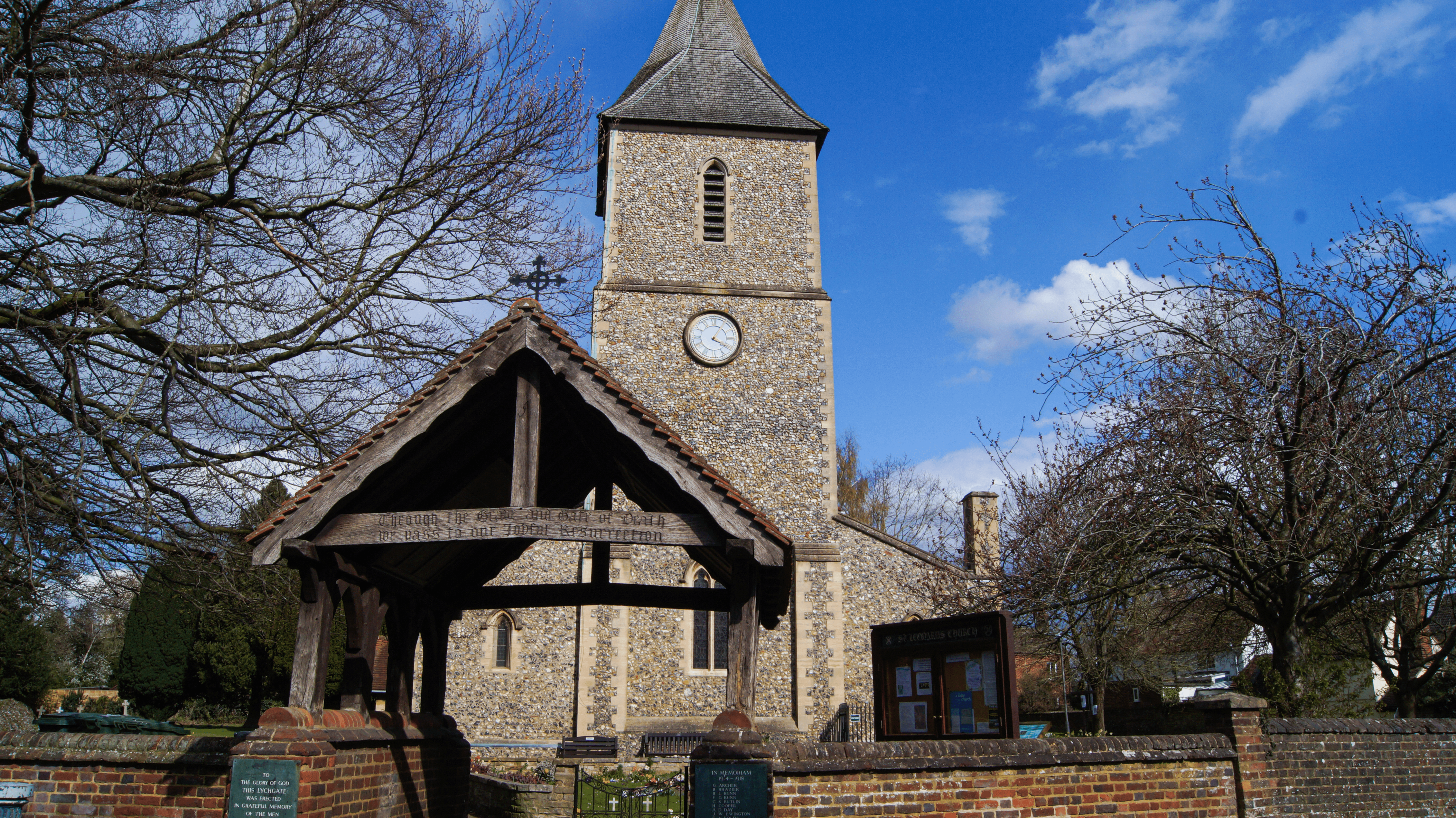
| Description | : | Sandridge is a small village and civil parish between St Albans and Wheathampstead in Hertfordshire, England. The earliest recorded mention of Sandridge is in the year 796 the parish then being part of the revenue of the Mercian Kings. It was given by Egfrith son of Offa in the first year of his reign to abbot Eadric second abbot of St Alban's Monastery and to the monks of St Albans. The original name was "Saundruage" meaning a place of sandy soil serviced by bond tenants. The village church is thought to date back to 1119. St. Leonard is the... Read More |
frequently asked questions (FAQ):
-
Where is St Leonard Churchyard & Extension?
St Leonard Churchyard & Extension is located at Sandridge, St Albans District ,Hertfordshire ,England.
-
St Leonard Churchyard & Extension cemetery's updated grave count on graveviews.com?
0 memorials
-
Where are the coordinates of the St Leonard Churchyard & Extension?
Latitude: 51.7813690
Longitude: -0.3036580
Nearby Cemetories:
1. St Mary Churchyard
Childwickbury, St Albans District, England
Coordinate: 51.7836980, -0.3473020
2. Childwickbury Manor
Childwickbury, St Albans District, England
Coordinate: 51.7809460, -0.3499100
3. Wheathampstead United Churchyard
Wheathampstead, St Albans District, England
Coordinate: 51.8108170, -0.2972210
4. Hatfield Road Cemetery
St Albans, St Albans District, England
Coordinate: 51.7523003, -0.3192620
5. St. Helen's Churchyard
Wheathampstead, St Albans District, England
Coordinate: 51.8124510, -0.2946400
6. St Peter's Churchyard
St Albans, St Albans District, England
Coordinate: 51.7555400, -0.3350270
7. Dagnall Lane Baptist Chapel
St Albans, St Albans District, England
Coordinate: 51.7526990, -0.3405156
8. Spicer Street Chapel Burial Ground
St Albans, St Albans District, England
Coordinate: 51.7523288, -0.3423231
9. Romeland Hill Garden of Rest
St Albans, St Albans District, England
Coordinate: 51.7514540, -0.3438830
10. Saint Alban's Cathedral
St Albans, St Albans District, England
Coordinate: 51.7504425, -0.3423680
11. St Michael’s Churchyard
St Albans, St Albans District, England
Coordinate: 51.7529540, -0.3560640
12. St John the Evangelist Churchyard
Lemsford, Welwyn Hatfield District, England
Coordinate: 51.7934510, -0.2355890
13. London Road Cemetery
St Albans, St Albans District, England
Coordinate: 51.7333610, -0.3066110
14. St. Stephen's Churchyard
St Albans, St Albans District, England
Coordinate: 51.7417450, -0.3483370
15. St Nicholas Churchyard
Harpenden, St Albans District, England
Coordinate: 51.8169470, -0.3583300
16. St. Luke's Churchyard
Hatfield, Welwyn Hatfield District, England
Coordinate: 51.7643980, -0.2237710
17. Westfield Road Cemetery
Harpenden, St Albans District, England
Coordinate: 51.8270720, -0.3540300
18. St Peter Churchyard
Ayot St Peter, Welwyn Hatfield District, England
Coordinate: 51.8201700, -0.2331800
19. National Children's Home Cemetery
Harpenden, St Albans District, England
Coordinate: 51.8305000, -0.3563000
20. Welwyn Hatfield Lawn Cemetery
Welwyn Hatfield, Welwyn Hatfield District, England
Coordinate: 51.7422400, -0.2315670
21. St Lawrence Churchyard
Ayot St Lawrence, Welwyn Hatfield District, England
Coordinate: 51.8379490, -0.2717340
22. St. Etheldreda Churchyard
Hatfield, Welwyn Hatfield District, England
Coordinate: 51.7614490, -0.2120150
23. Ayot St Lawrence Old Churchyard
Ayot St Lawrence, Welwyn Hatfield District, England
Coordinate: 51.8377038, -0.2678795
24. Hatfield Estate
Hatfield, Welwyn Hatfield District, England
Coordinate: 51.7606100, -0.2092010