
| Memorials | : | 70 |
| Location | : | Thornton-in-Craven, Craven District, England |
| Coordinate | : | 53.9311350, -2.1513350 |
frequently asked questions (FAQ):
-
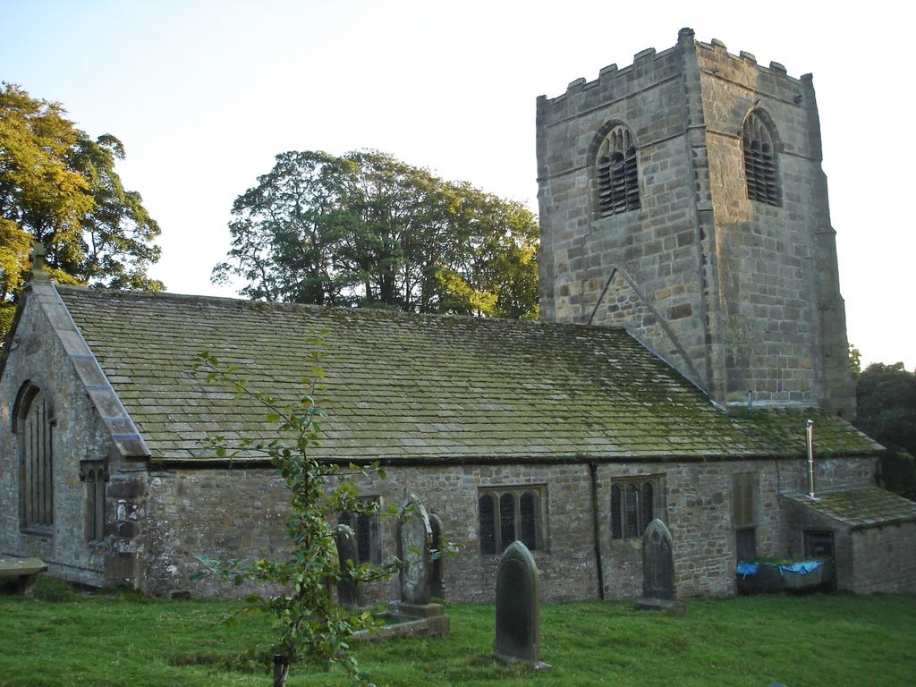
Where is St Mary the Virgin Churchyard?
St Mary the Virgin Churchyard is located at Church Road Thornton-in-Craven, Craven District ,North Yorkshire , BD23 3TSEngland.
-
St Mary the Virgin Churchyard cemetery's updated grave count on graveviews.com?
70 memorials
-
Where are the coordinates of the St Mary the Virgin Churchyard?
Latitude: 53.9311350
Longitude: -2.1513350
Nearby Cemetories:
1. Saint Mary-le-Ghyll
Barnoldswick, Pendle Borough, England
Coordinate: 53.9279505, -2.1647004
2. Ghyll Cemetery
Barnoldswick, Pendle Borough, England
Coordinate: 53.9271100, -2.1646700
3. Earby Cemetery
Earby, Pendle Borough, England
Coordinate: 53.9189987, -2.1370001
4. Salterforth Cemetery
Salterforth, Pendle Borough, England
Coordinate: 53.9123170, -2.1654010
5. St. Peter's Churchyard
Martons Both, Craven District, England
Coordinate: 53.9522064, -2.1413111
6. St Peter Church
Martons Both, Craven District, England
Coordinate: 53.9522630, -2.1415720
7. St Mary's Churchyard
Kelbrook, Pendle Borough, England
Coordinate: 53.8991000, -2.1494100
8. All Saints Churchyard
Broughton, Craven District, England
Coordinate: 53.9492880, -2.1019580
9. Saint Michael's Church
Bracewell, Pendle Borough, England
Coordinate: 53.9322400, -2.2099730
10. Bethel Chapel Cemetery
Lothersdale, Craven District, England
Coordinate: 53.9102184, -2.0749640
11. Friends Burial Ground
Foulridge, Pendle Borough, England
Coordinate: 53.8769360, -2.1669040
12. St Andrew Churchyard
Gargrave, Craven District, England
Coordinate: 53.9811830, -2.1054420
13. St. Michael's Churchyard
Foulridge, Pendle Borough, England
Coordinate: 53.8734569, -2.1693508
14. Christ Churchyard
Lothersdale, Craven District, England
Coordinate: 53.9097000, -2.0578600
15. St. Peter's Churchyard
Coniston Cold, Craven District, England
Coordinate: 53.9944380, -2.1493870
16. St. Mary the Virgin Churchyard
Gisburn, Ribble Valley Borough, England
Coordinate: 53.9356080, -2.2605210
17. St Mary the Virgin Churchyard
Carleton, Craven District, England
Coordinate: 53.9442300, -2.0417800
18. Cowling Hill Baptist Cemetery
Cowling, Craven District, England
Coordinate: 53.8961550, -2.0536900
19. Christ Church Churchyard
Colne, Pendle Borough, England
Coordinate: 53.8602110, -2.1415670
20. Colne Cemetery
Colne, Pendle Borough, England
Coordinate: 53.8577420, -2.1585350
21. St. Bartholomew Churchyard
Colne, Pendle Borough, England
Coordinate: 53.8570600, -2.1700470
22. Waltonwrays Cemetery and Skipton Crematorium
Skipton, Craven District, England
Coordinate: 53.9505500, -2.0272300
23. Holy Trinity Churchyard
Cowling, Craven District, England
Coordinate: 53.8837150, -2.0503150
24. Salem Congregational Chapel Martin Top
Rimington, Ribble Valley Borough, England
Coordinate: 53.9072484, -2.2740463