
| Memorials | : | 2 |
| Location | : | Broughton, Craven District, England |
| Coordinate | : | 53.9492880, -2.1019580 |
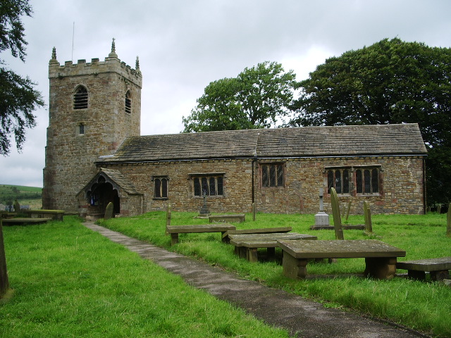
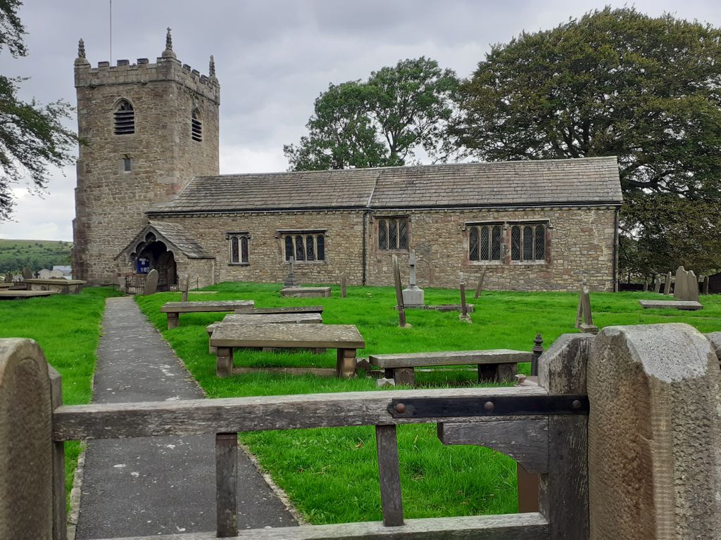
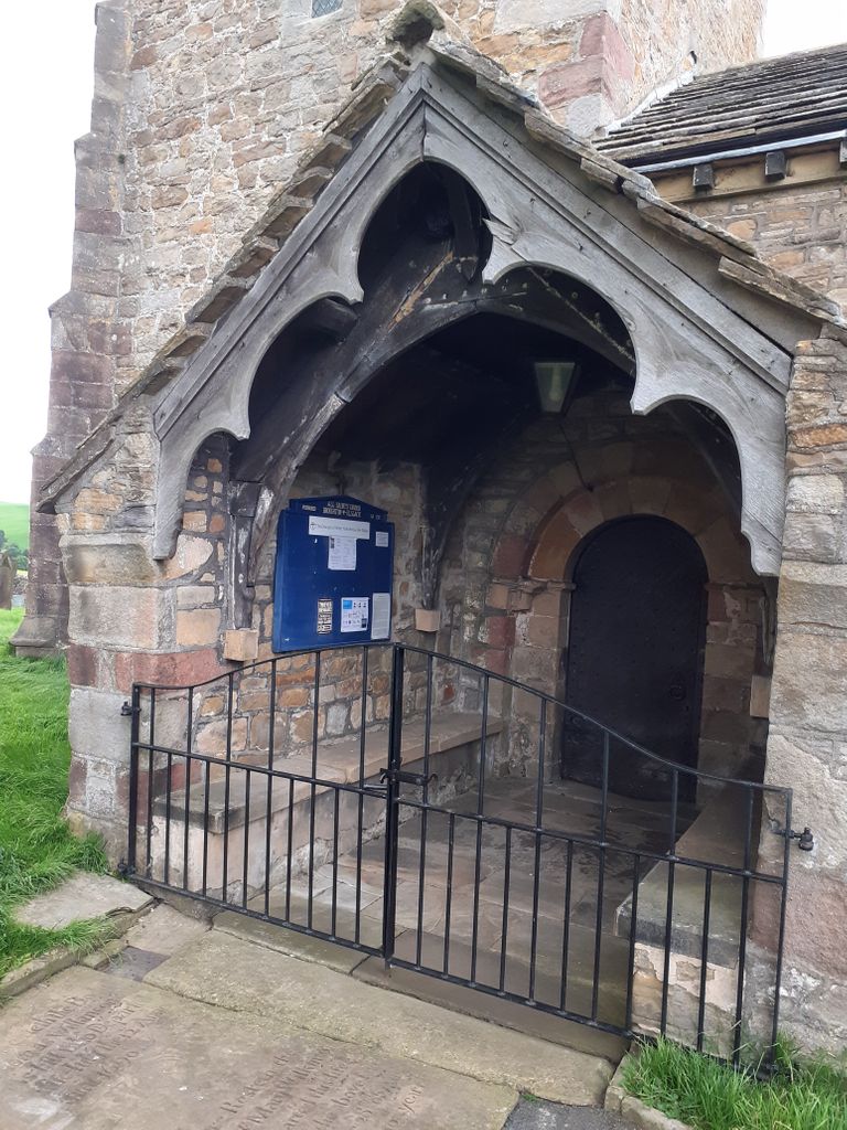
| Description | : | Early Norman with later additions up to the 15th century, this little church stands as it has for 900 years between the two hamlets of Broughton and Elslack. There are two fine but damaged statues of Mary and Child, rediscovered and replaced in the 19th century; a set of three bells in the tower; the family pew of the Tempest family who still live in the big house. |
frequently asked questions (FAQ):
-
Where is All Saints Churchyard?
All Saints Churchyard is located at Broughton, Craven District ,North Yorkshire ,England.
-
All Saints Churchyard cemetery's updated grave count on graveviews.com?
2 memorials
-
Where are the coordinates of the All Saints Churchyard?
Latitude: 53.9492880
Longitude: -2.1019580
Nearby Cemetories:
1. St. Peter's Churchyard
Martons Both, Craven District, England
Coordinate: 53.9522064, -2.1413111
2. St Peter Church
Martons Both, Craven District, England
Coordinate: 53.9522630, -2.1415720
3. St Andrew Churchyard
Gargrave, Craven District, England
Coordinate: 53.9811830, -2.1054420
4. St Mary the Virgin Churchyard
Thornton-in-Craven, Craven District, England
Coordinate: 53.9311350, -2.1513350
5. St Mary the Virgin Churchyard
Carleton, Craven District, England
Coordinate: 53.9442300, -2.0417800
6. Earby Cemetery
Earby, Pendle Borough, England
Coordinate: 53.9189987, -2.1370001
7. Bethel Chapel Cemetery
Lothersdale, Craven District, England
Coordinate: 53.9102184, -2.0749640
8. Saint Mary-le-Ghyll
Barnoldswick, Pendle Borough, England
Coordinate: 53.9279505, -2.1647004
9. Ghyll Cemetery
Barnoldswick, Pendle Borough, England
Coordinate: 53.9271100, -2.1646700
10. Waltonwrays Cemetery and Skipton Crematorium
Skipton, Craven District, England
Coordinate: 53.9505500, -2.0272300
11. Christ Churchyard
Lothersdale, Craven District, England
Coordinate: 53.9097000, -2.0578600
12. St Stephen Roman Catholic Churchyard
Skipton, Craven District, England
Coordinate: 53.9631760, -2.0210240
13. Christ Churchyard
Skipton, Craven District, England
Coordinate: 53.9581200, -2.0188910
14. Raikes Road Burial Ground
Skipton, Craven District, England
Coordinate: 53.9643822, -2.0196819
15. Skipton War Memorial
Skipton, Craven District, England
Coordinate: 53.9627100, -2.0161680
16. Tarn Moor Memorial Woodland Burial Ground
Skipton, Craven District, England
Coordinate: 53.9759590, -2.0254260
17. Friends Burial Ground at Skipton
Skipton, Craven District, England
Coordinate: 53.9599220, -2.0148630
18. Holy Trinity Churchyard
Skipton, Craven District, England
Coordinate: 53.9633250, -2.0161180
19. Salterforth Cemetery
Salterforth, Pendle Borough, England
Coordinate: 53.9123170, -2.1654010
20. St. Andrew's Churchyard
Skipton, Craven District, England
Coordinate: 53.9609959, -2.0140994
21. St. Peter's Churchyard
Coniston Cold, Craven District, England
Coordinate: 53.9944380, -2.1493870
22. St. John's Churchyard
Cononley, Craven District, England
Coordinate: 53.9187890, -2.0212930
23. St Mary's Churchyard
Kelbrook, Pendle Borough, England
Coordinate: 53.8991000, -2.1494100
24. Cowling Hill Baptist Cemetery
Cowling, Craven District, England
Coordinate: 53.8961550, -2.0536900