
| Memorials | : | 0 |
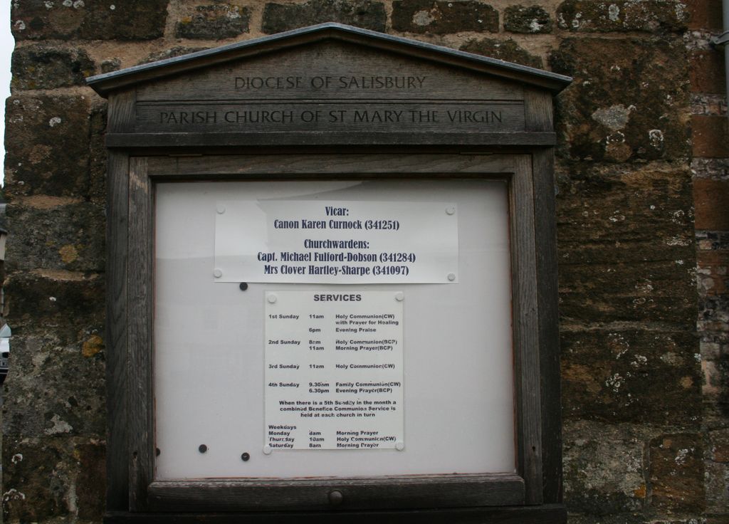
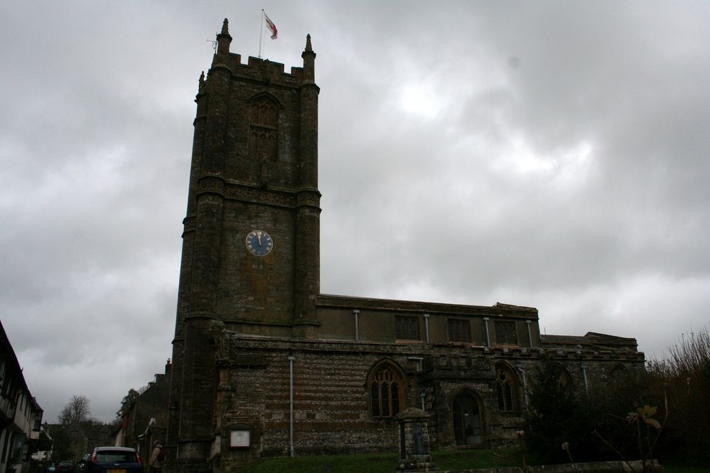
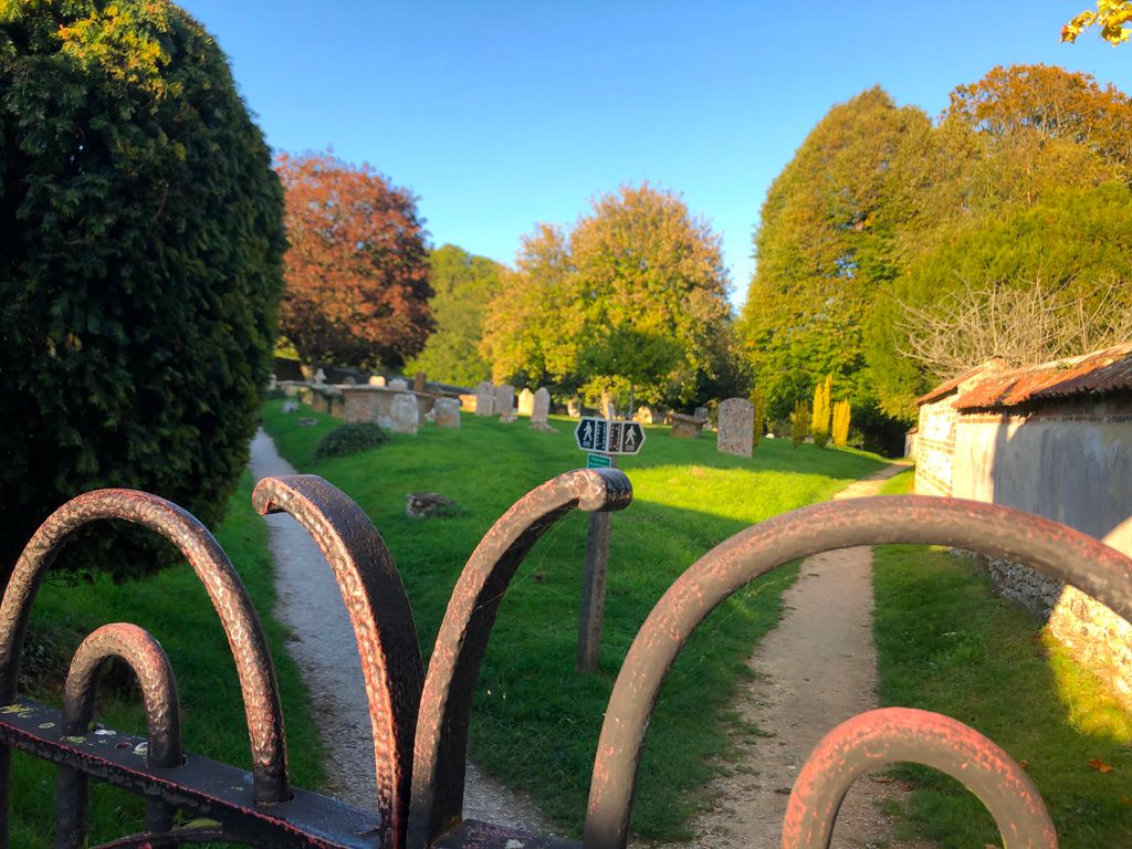
| Location | : | Cerne Abbas, West Dorset District, England |
| Coordinate | : | 50.8095040, -2.4756200 |
frequently asked questions (FAQ):
-
Where is St Mary Churchyard?
St Mary Churchyard is located at Abbey Street Cerne Abbas, West Dorset District ,Dorset , DT2 7JQEngland.
-
St Mary Churchyard cemetery's updated grave count on graveviews.com?
0 memorials
-
Where are the coordinates of the St Mary Churchyard?
Latitude: 50.8095040
Longitude: -2.4756200
Nearby Cemetories:
1. Cerne Abbey
Cerne Abbas, West Dorset District, England
Coordinate: 50.8106000, -2.4754000
2. All Saints
Nether Cerne, West Dorset District, England
Coordinate: 50.7824394, -2.4695370
3. St. Andrew's Churchyard
Minterne Magna, West Dorset District, England
Coordinate: 50.8375700, -2.4848100
4. Alton Pancras Cemetery
Alton Pancras, West Dorset District, England
Coordinate: 50.8203710, -2.4289390
5. All Saints Churchyard
Piddletrenthide, West Dorset District, England
Coordinate: 50.8053720, -2.4242110
6. Holy Trinity Churchyard
Godmanstone, West Dorset District, England
Coordinate: 50.7748310, -2.4750600
7. Holy Rood Churchyard
Buckland Newton, West Dorset District, England
Coordinate: 50.8461660, -2.4453910
8. Hilfield Friary (Society of St. Francis)
Hilfield, West Dorset District, England
Coordinate: 50.8385230, -2.5252120
9. Hilfield Chapel
Hilfield, West Dorset District, England
Coordinate: 50.8442800, -2.5199520
10. St John The Baptist
Piddletrenthide, West Dorset District, England
Coordinate: 50.8192530, -2.4021230
11. St Mary the Virgin Churchyard
Piddlehinton, West Dorset District, England
Coordinate: 50.7732980, -2.4045680
12. St. Mary's Churchyard
Glanvilles Wootton, North Dorset District, England
Coordinate: 50.8717800, -2.4558510
13. St. Mary's Churchyard
Frampton, West Dorset District, England
Coordinate: 50.7531080, -2.5301730
14. St. Peter and St. Paul Churchyard
Cattistock, West Dorset District, England
Coordinate: 50.7939600, -2.5810920
15. St. Mary's Churchyard
Maiden Newton, West Dorset District, England
Coordinate: 50.7791380, -2.5739770
16. The Church of St Francis
Frome Vauchurch, West Dorset District, England
Coordinate: 50.7730030, -2.5691890
17. Holy Trinity Churchyard
Chilfrome, West Dorset District, England
Coordinate: 50.7874620, -2.5823870
18. St. Mary's Churchyard
Bradford Peverell, West Dorset District, England
Coordinate: 50.7356600, -2.4857900
19. St Peter and St Paul Churchyard
Mappowder, North Dorset District, England
Coordinate: 50.8527740, -2.3773230
20. Charminster Cemetery
Charminster, Bournemouth Unitary Authority, England
Coordinate: 50.7341430, -2.4627060
21. St. Thomas A' Beckett Churchyard
Pulham, North Dorset District, England
Coordinate: 50.8753720, -2.4111670
22. St Mary the Virgin Churchyard
Charminster, West Dorset District, England
Coordinate: 50.7330600, -2.4557900
23. Holnest Churchyard
Holnest, West Dorset District, England
Coordinate: 50.8870090, -2.4895200
24. St. Mary the Virgin
Melbury Bubb, West Dorset District, England
Coordinate: 50.8571090, -2.5751350