
| Memorials | : | 0 |
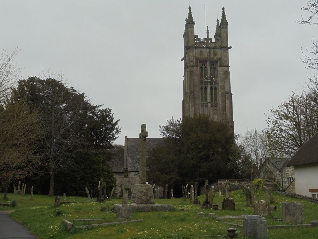
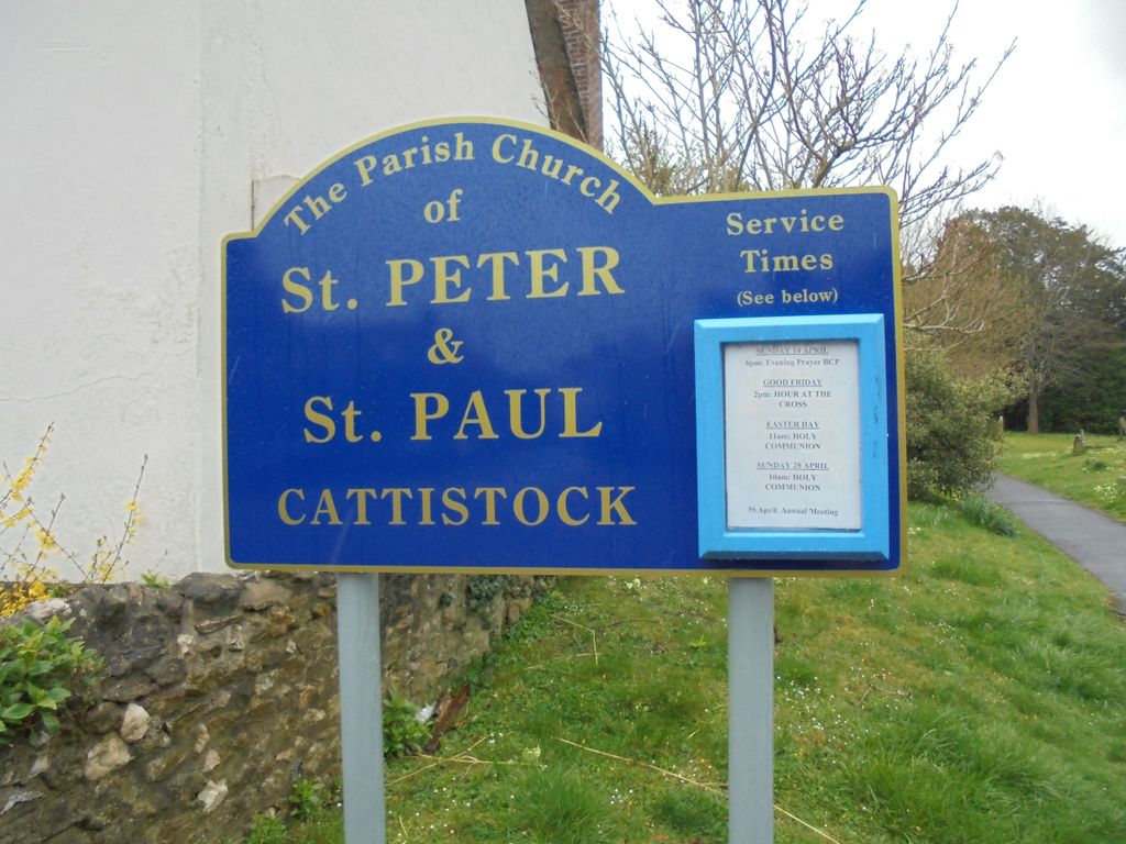
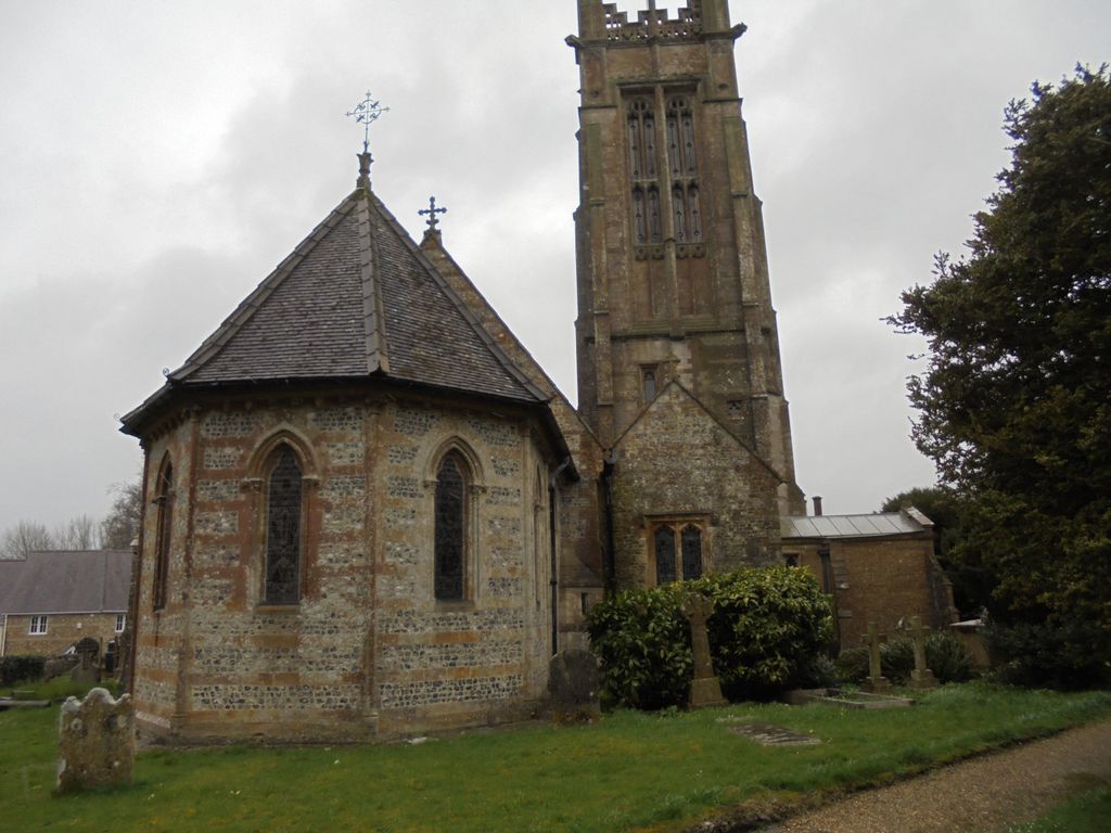
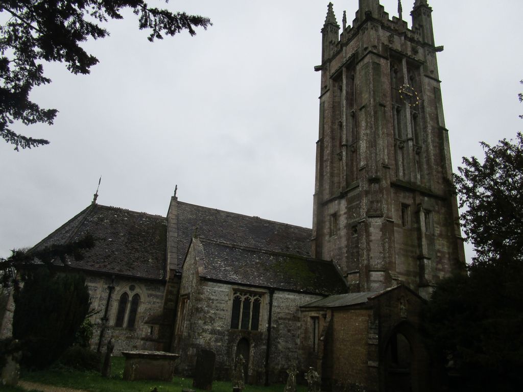
| Location | : | Cattistock, West Dorset District, England |
| Coordinate | : | 50.7939600, -2.5810920 |
frequently asked questions (FAQ):
-
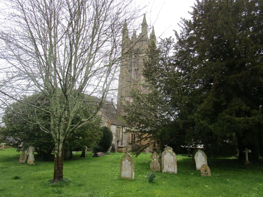
Where is St. Peter and St. Paul Churchyard?
St. Peter and St. Paul Churchyard is located at Cattistock, West Dorset District, England.
-
St. Peter and St. Paul Churchyard cemetery's updated grave count on graveviews.com?
0 memorials
-
Where are the coordinates of the St. Peter and St. Paul Churchyard?
Latitude: 50.7939600
Longitude: -2.5810920
Nearby Cemetories:
1. Holy Trinity Churchyard
Chilfrome, West Dorset District, England
Coordinate: 50.7874620, -2.5823870
2. St. Mary's Churchyard
Maiden Newton, West Dorset District, England
Coordinate: 50.7791380, -2.5739770
3. The Church of St Francis
Frome Vauchurch, West Dorset District, England
Coordinate: 50.7730030, -2.5691890
4. St Michael and All Angels Churchyard
Rampisham, West Dorset District, England
Coordinate: 50.8177970, -2.6236380
5. St. Osmund's Churchyard
Evershot, West Dorset District, England
Coordinate: 50.8383970, -2.6082280
6. St. Giles' Churchyard
Hooke, West Dorset District, England
Coordinate: 50.7991490, -2.6606080
7. St. Mary's Churchyard
Frampton, West Dorset District, England
Coordinate: 50.7531080, -2.5301730
8. St Thomas a Beckett Churchyard
Compton Valence, West Dorset District, England
Coordinate: 50.7372430, -2.5784400
9. Hilfield Friary (Society of St. Francis)
Hilfield, West Dorset District, England
Coordinate: 50.8385230, -2.5252120
10. St Mary's Chapel
Melbury Sampford, West Dorset District, England
Coordinate: 50.8515000, -2.6022600
11. St. Mary the Virgin
Melbury Bubb, West Dorset District, England
Coordinate: 50.8571090, -2.5751350
12. Hilfield Chapel
Hilfield, West Dorset District, England
Coordinate: 50.8442800, -2.5199520
13. St Mary Churchyard
Cerne Abbas, West Dorset District, England
Coordinate: 50.8095040, -2.4756200
14. Cerne Abbey
Cerne Abbas, West Dorset District, England
Coordinate: 50.8106000, -2.4754000
15. Holy Trinity Churchyard
Godmanstone, West Dorset District, England
Coordinate: 50.7748310, -2.4750600
16. All Saints
Nether Cerne, West Dorset District, England
Coordinate: 50.7824394, -2.4695370
17. St. Mary the Virgin Churchyard
Powerstock, West Dorset District, England
Coordinate: 50.7632920, -2.6863210
18. St. Andrew's Churchyard
Minterne Magna, West Dorset District, England
Coordinate: 50.8375700, -2.4848100
19. St. Osmond's Churchyard
Melbury Osmond, West Dorset District, England
Coordinate: 50.8684120, -2.6067439
20. St. Mary's Churchyard
Corscombe, West Dorset District, England
Coordinate: 50.8413300, -2.6797630
21. St. Peter’s Churchyard
Chetnole, West Dorset District, England
Coordinate: 50.8718521, -2.5666604
22. All Saints Churchyard
Mapperton, West Dorset District, England
Coordinate: 50.7943046, -2.7060315
23. St. Peter’s Churchyard
Long Bredy, West Dorset District, England
Coordinate: 50.7133240, -2.6093550
24. St. Michael and All Angels Churchyard
Askerswell, West Dorset District, England
Coordinate: 50.7309450, -2.6675050