
| Memorials | : | 1 |
| Location | : | Frampton, West Dorset District, England |
| Coordinate | : | 50.7531080, -2.5301730 |
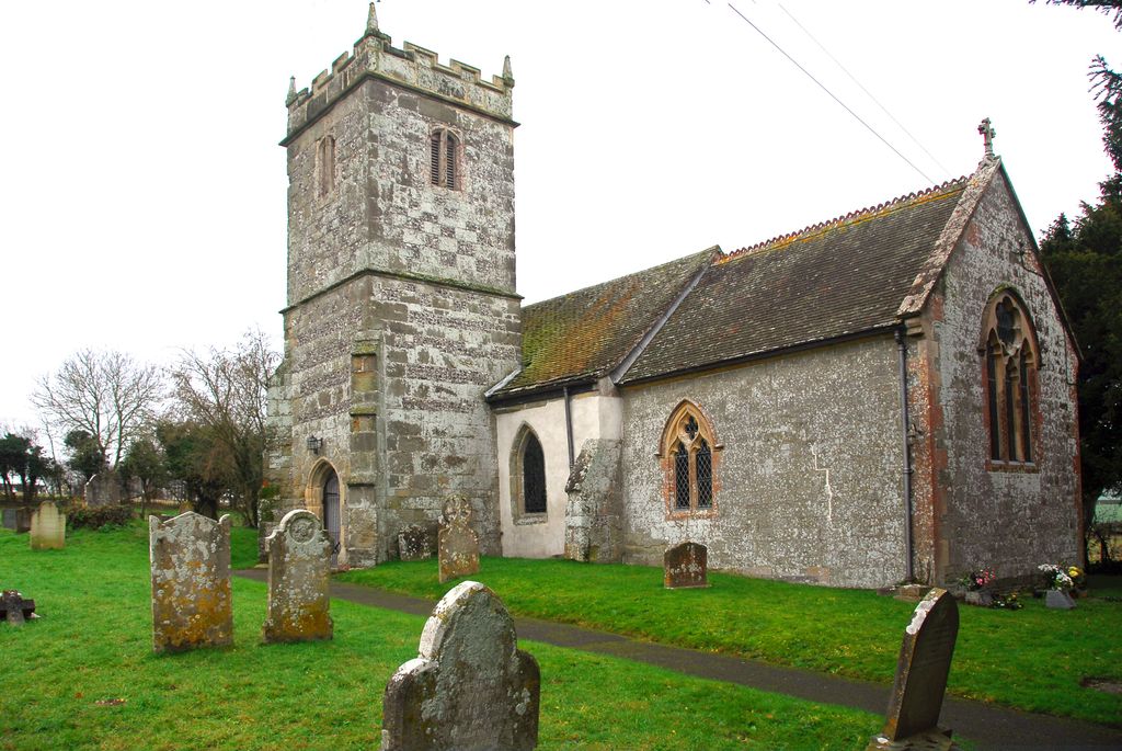
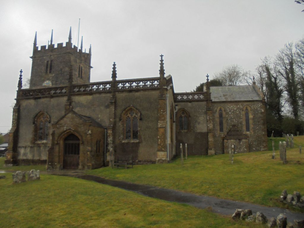
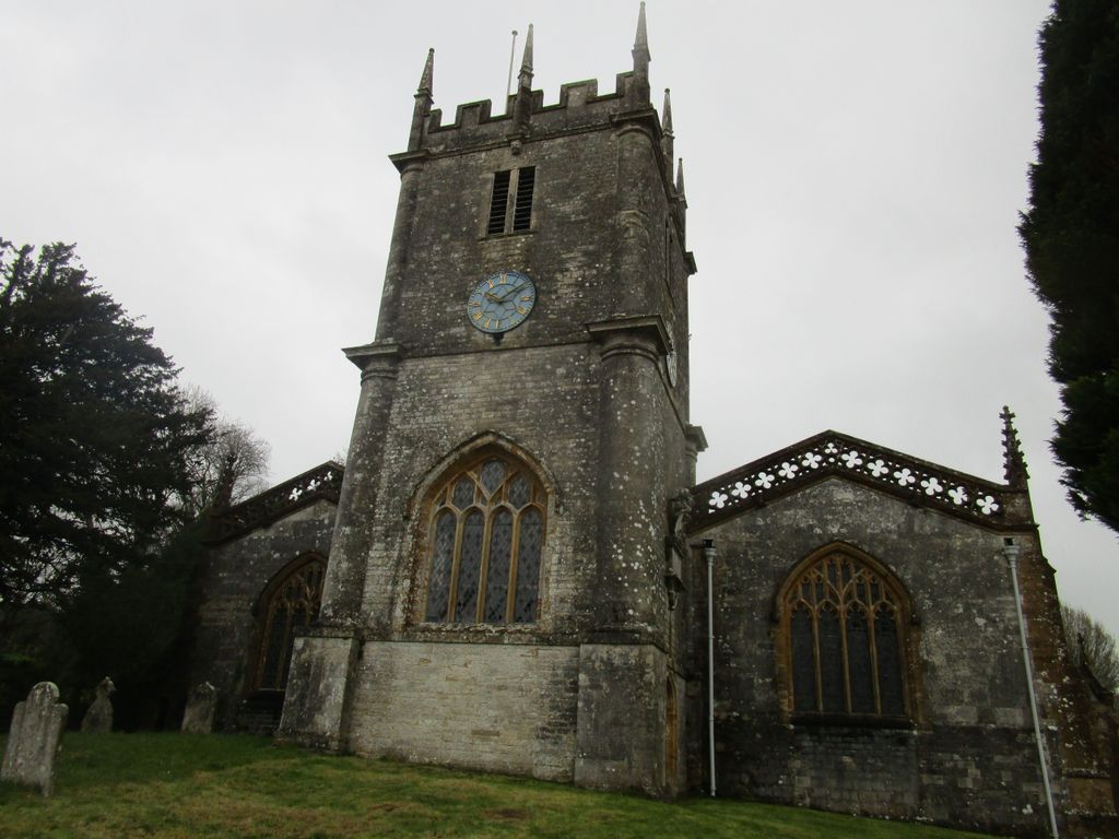
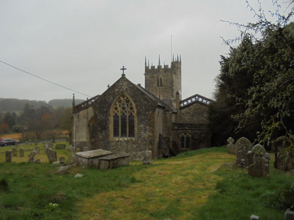
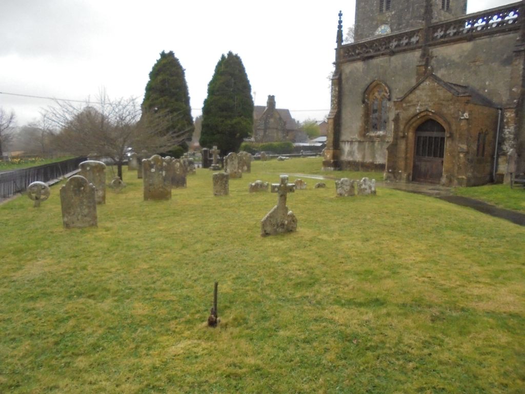
| Description | : | St. Mary's Frampton is quite large for a country church and has an unusual internal layout. There is evidence through the centuries of building and rebuilding. The south arcade to the nave and the chancel arch are 15th Century. Points of note are the unusual tower with Tuscan columns, built in 1695 by Robert Browne, who also added the North Aisle and the Vestry between 1725 and 1734. The present structure that we see is mostly of 19th Century restoration by Marcia Maria and Richard Brinsley Sheridan. |
frequently asked questions (FAQ):
-
Where is St. Mary's Churchyard?
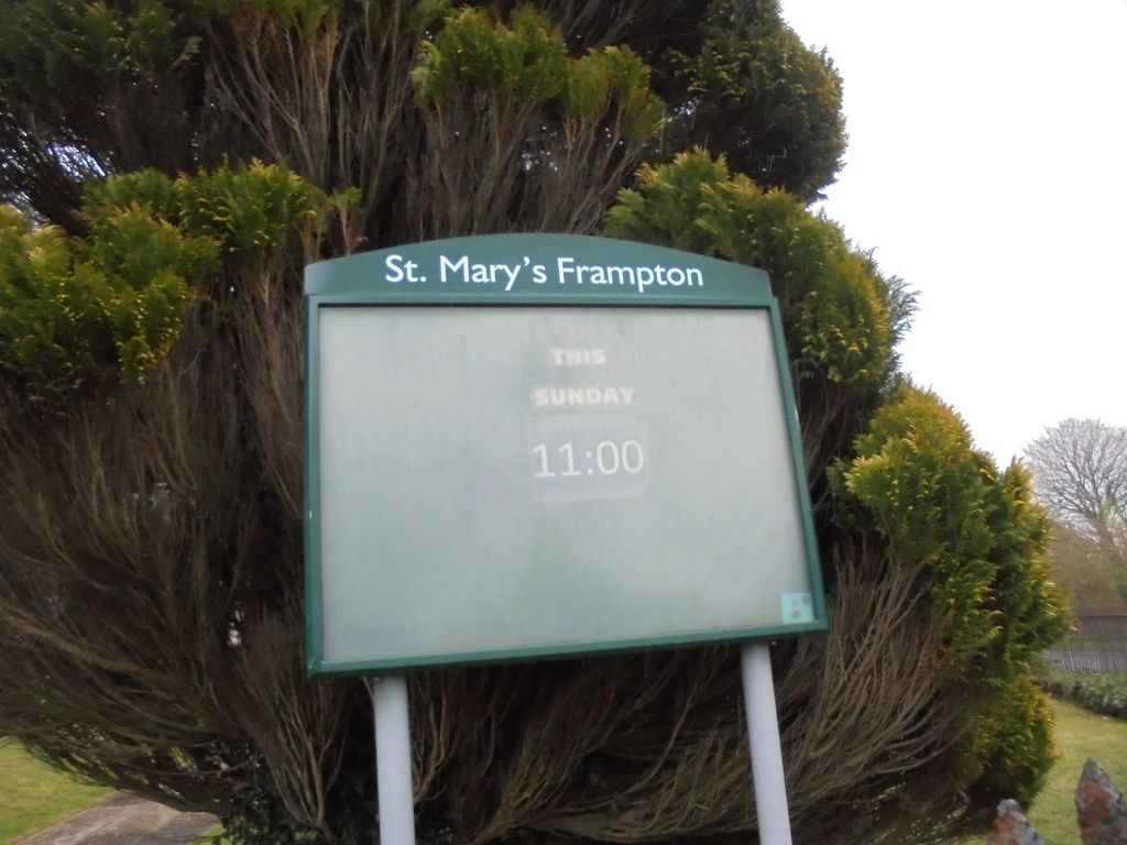
St. Mary's Churchyard is located at Church Lane Frampton, West Dorset District ,Dorset , DT2 9NDEngland.
-
St. Mary's Churchyard cemetery's updated grave count on graveviews.com?
1 memorials
-
Where are the coordinates of the St. Mary's Churchyard?
Latitude: 50.7531080
Longitude: -2.5301730
Nearby Cemetories:
1. The Church of St Francis
Frome Vauchurch, West Dorset District, England
Coordinate: 50.7730030, -2.5691890
2. St. Mary's Churchyard
Bradford Peverell, West Dorset District, England
Coordinate: 50.7356600, -2.4857900
3. St Thomas a Beckett Churchyard
Compton Valence, West Dorset District, England
Coordinate: 50.7372430, -2.5784400
4. St. Mary's Churchyard
Maiden Newton, West Dorset District, England
Coordinate: 50.7791380, -2.5739770
5. Holy Trinity Churchyard
Godmanstone, West Dorset District, England
Coordinate: 50.7748310, -2.4750600
6. Charminster Cemetery
Charminster, Bournemouth Unitary Authority, England
Coordinate: 50.7341430, -2.4627060
7. Holy Trinity Churchyard
Chilfrome, West Dorset District, England
Coordinate: 50.7874620, -2.5823870
8. All Saints
Nether Cerne, West Dorset District, England
Coordinate: 50.7824394, -2.4695370
9. St Mary the Virgin Churchyard
Charminster, West Dorset District, England
Coordinate: 50.7330600, -2.4557900
10. St. Peter and St. Paul Churchyard
Cattistock, West Dorset District, England
Coordinate: 50.7939600, -2.5810920
11. Poundbury Cemetery
Dorchester, West Dorset District, England
Coordinate: 50.7181090, -2.4544830
12. St. Peter’s Churchyard
Long Bredy, West Dorset District, England
Coordinate: 50.7133240, -2.6093550
13. St. Michael and All Angels Churchyard
Littlebredy, West Dorset District, England
Coordinate: 50.6993760, -2.5850920
14. St Mary Churchyard
Cerne Abbas, West Dorset District, England
Coordinate: 50.8095040, -2.4756200
15. Cerne Abbey
Cerne Abbas, West Dorset District, England
Coordinate: 50.8106000, -2.4754000
16. Holy Trinity Church
Dorchester, West Dorset District, England
Coordinate: 50.7154890, -2.4379470
17. Greyfriars Churchyard
Dorchester, West Dorset District, England
Coordinate: 50.7172150, -2.4354070
18. St. Peter's Church
Dorchester, West Dorset District, England
Coordinate: 50.7155740, -2.4369030
19. All Saints Churchyard
Dorchester, West Dorset District, England
Coordinate: 50.7153670, -2.4355750
20. Dorchester Gaol Cemetery
Dorchester, West Dorset District, England
Coordinate: 50.7153670, -2.4355750
21. Maumbury Rings Cemetery
Dorchester, West Dorset District, England
Coordinate: 50.7079000, -2.4403900
22. Dorchester Cemetery
Dorchester, West Dorset District, England
Coordinate: 50.7062110, -2.4422800
23. Dorchester Gallows Hill Cemetery
Dorchester, West Dorset District, England
Coordinate: 50.7127930, -2.4315480
24. St George's Churchyard
Fordington, West Dorset District, England
Coordinate: 50.7136510, -2.4286550