
| Memorials | : | 0 |
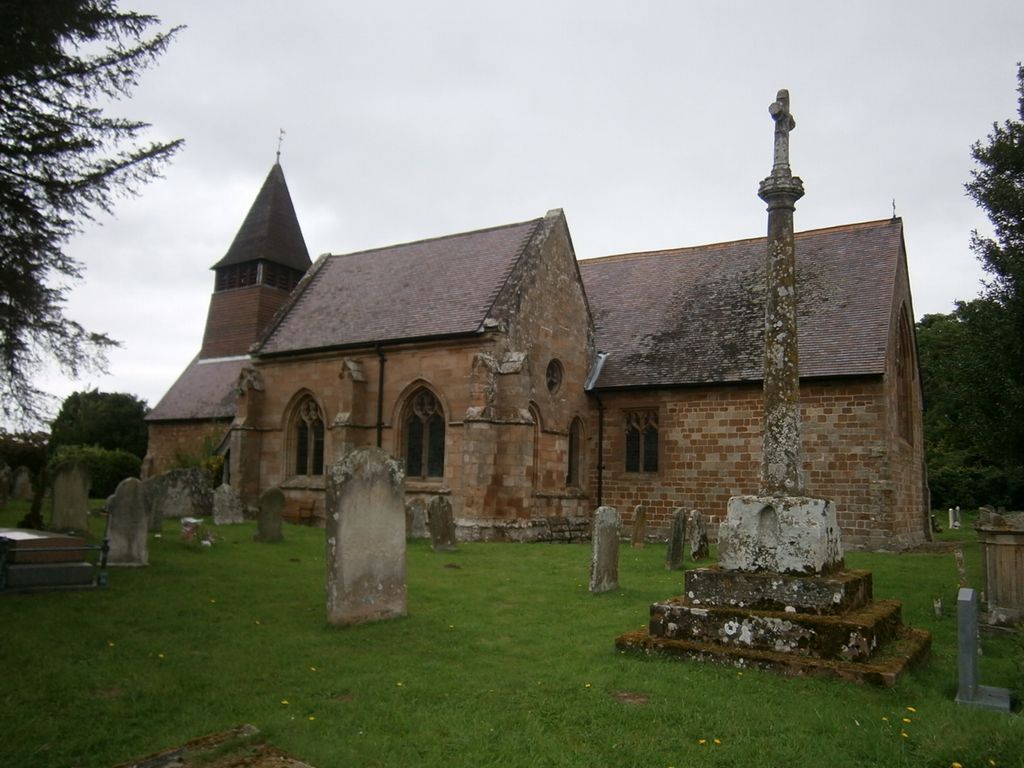
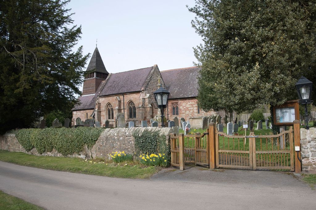
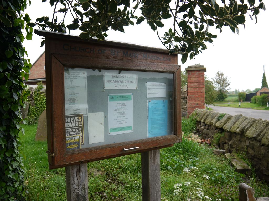
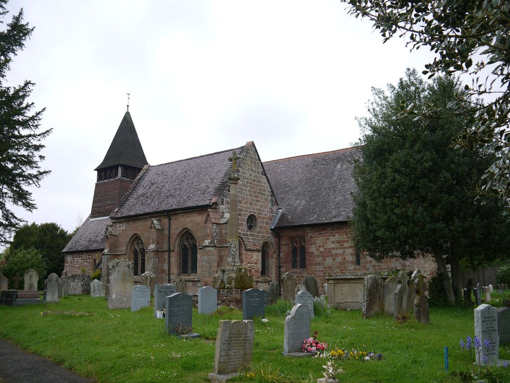
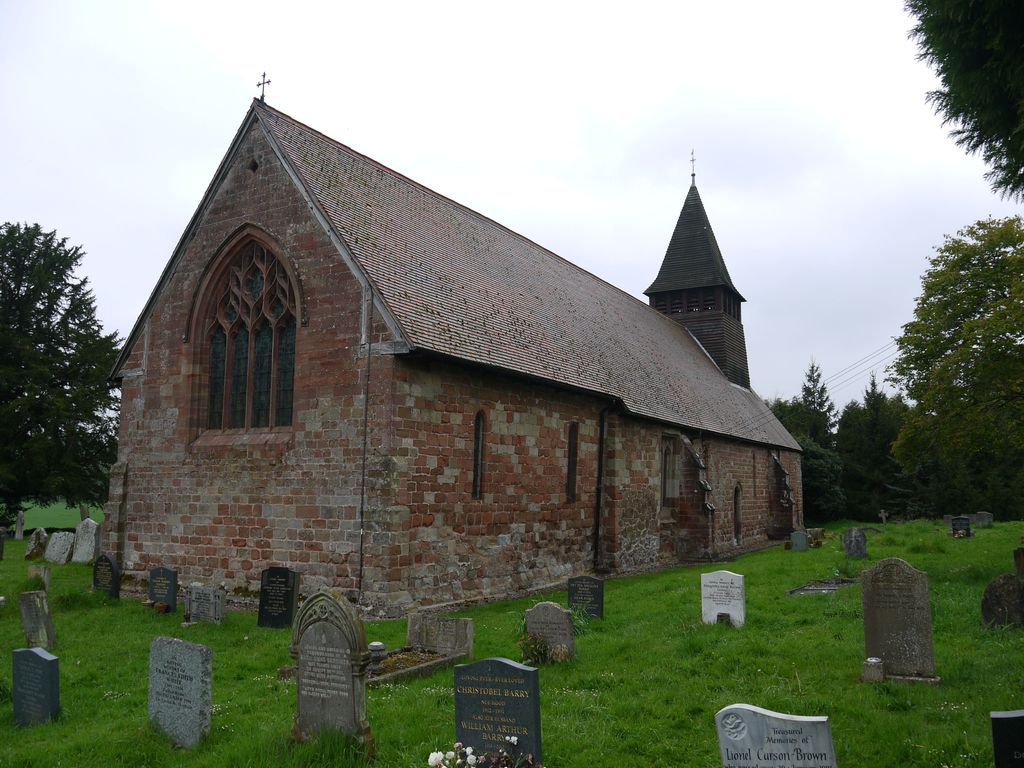
| Location | : | Broadwas, Malvern Hills District, England |
| Website | : | www.achurchnearyou.com/church/18616/ |
| Coordinate | : | 52.1938300, -2.3598200 |
frequently asked questions (FAQ):
-
Where is St. Mary Magdalene Churchyard?
St. Mary Magdalene Churchyard is located at Broadwas, Malvern Hills District ,Worcestershire , WR6 5NQEngland.
-
St. Mary Magdalene Churchyard cemetery's updated grave count on graveviews.com?
0 memorials
-
Where are the coordinates of the St. Mary Magdalene Churchyard?
Latitude: 52.1938300
Longitude: -2.3598200
Nearby Cemetories:
1. St Mary Magdalene Churchyard
Alfrick, Malvern Hills District, England
Coordinate: 52.1744230, -2.3693070
2. Knightwick Chapel
Knightwick, Malvern Hills District, England
Coordinate: 52.1946400, -2.3989800
3. St Leonard Churchyard
Cotheridge, Malvern Hills District, England
Coordinate: 52.1903100, -2.3139500
4. St. Eadburga Churchyard
Leigh, Malvern Hills District, England
Coordinate: 52.1789500, -2.3169500
5. St. Peter's Churchyard
Martley, Malvern Hills District, England
Coordinate: 52.2359520, -2.3582940
6. St. John the Baptist Churchyard
Suckley, Malvern Hills District, England
Coordinate: 52.1622900, -2.4093700
7. Elgar Birthplace Museum
Lower Broadheath, Malvern Hills District, England
Coordinate: 52.1989600, -2.2827000
8. St. John the Baptist Churchyard
Bransford, Malvern Hills District, England
Coordinate: 52.1616486, -2.2981676
9. St Thomas Churchyard
Rushwick, Malvern Hills District, England
Coordinate: 52.1903870, -2.2751750
10. Christ Church Churchyard
Lower Broadheath, Malvern Hills District, England
Coordinate: 52.2131500, -2.2786300
11. St. Laurence Churchyard
Wichenford, Wychavon District, England
Coordinate: 52.2392220, -2.3130060
12. St Kenelms Churchyard
Clifton upon Teme, Malvern Hills District, England
Coordinate: 52.2519700, -2.4189900
13. St. Peter's Churchyard
Malvern Link, Malvern Hills District, England
Coordinate: 52.1259530, -2.3380280
14. St. Matthias Churchyard
Malvern Link, Malvern Hills District, England
Coordinate: 52.1290490, -2.3178900
15. Newland Cemetery
Newland, Malvern Hills District, England
Coordinate: 52.1342764, -2.2988052
16. St Philip and St James Churchyard
Hallow, Malvern Hills District, England
Coordinate: 52.2192900, -2.2524500
17. Convent of the Holy Name, Chapel and Cloister
Malvern Link, Malvern Hills District, England
Coordinate: 52.1304500, -2.3068900
18. Saint John's Cemetery
Worcester, City of Worcester, England
Coordinate: 52.1894670, -2.2436270
19. All Saints Churchyard
Shelsley Beauchamp, Malvern Hills District, England
Coordinate: 52.2632200, -2.3953800
20. All Saints Churchyard Extension
Shelsley Beauchamp, Malvern Hills District, England
Coordinate: 52.2634662, -2.3949512
21. Worcester County Pauper and Lunatic Asylum Cemetery
Powick, Malvern Hills District, England
Coordinate: 52.1530276, -2.2599550
22. St. James' the Great Churchyard
Cradley, Herefordshire Unitary Authority, England
Coordinate: 52.1218440, -2.3870920
23. St James Churchyard
Great Malvern, Malvern Hills District, England
Coordinate: 52.1197650, -2.3316900
24. Cradley Chapel
Cradley, Herefordshire Unitary Authority, England
Coordinate: 52.1215478, -2.4001078