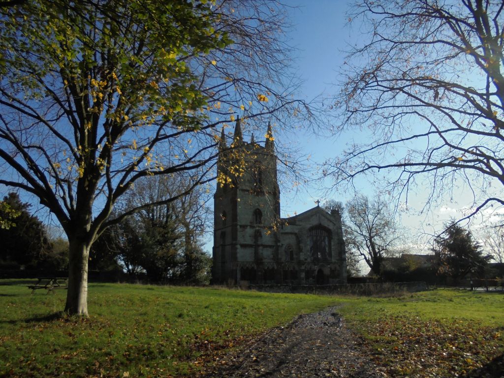
| Memorials | : | 2 |
| Location | : | Canons Ashby, Daventry District, England |
| Coordinate | : | 52.1502747, -1.1568058 |
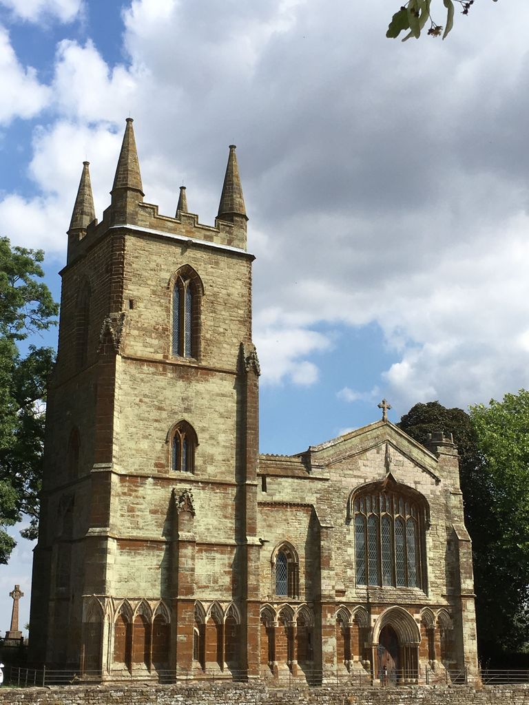
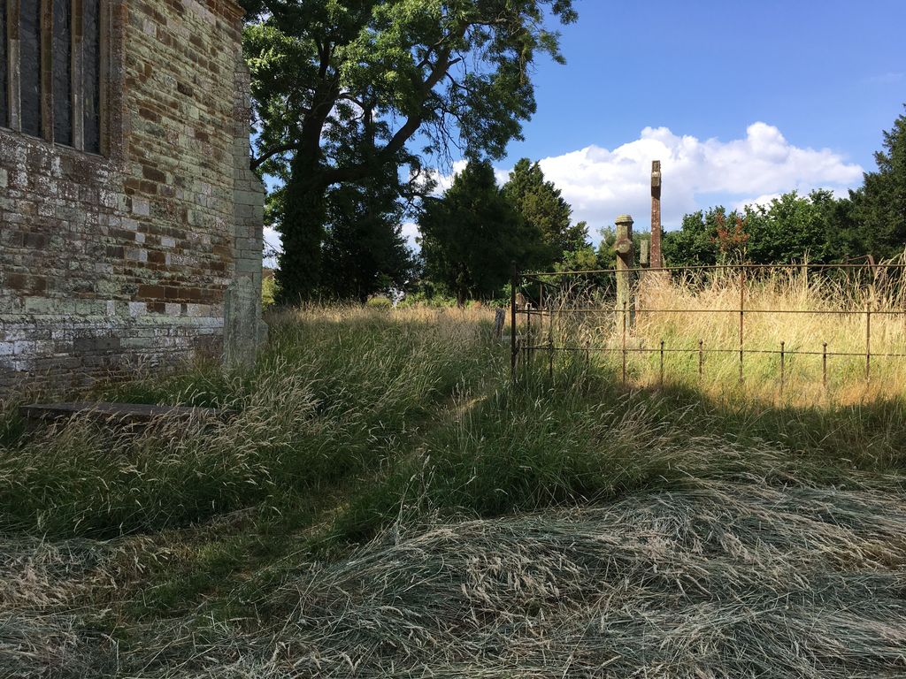
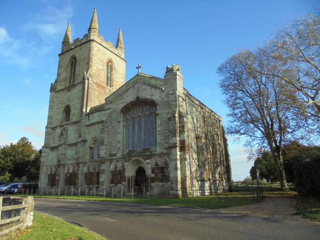
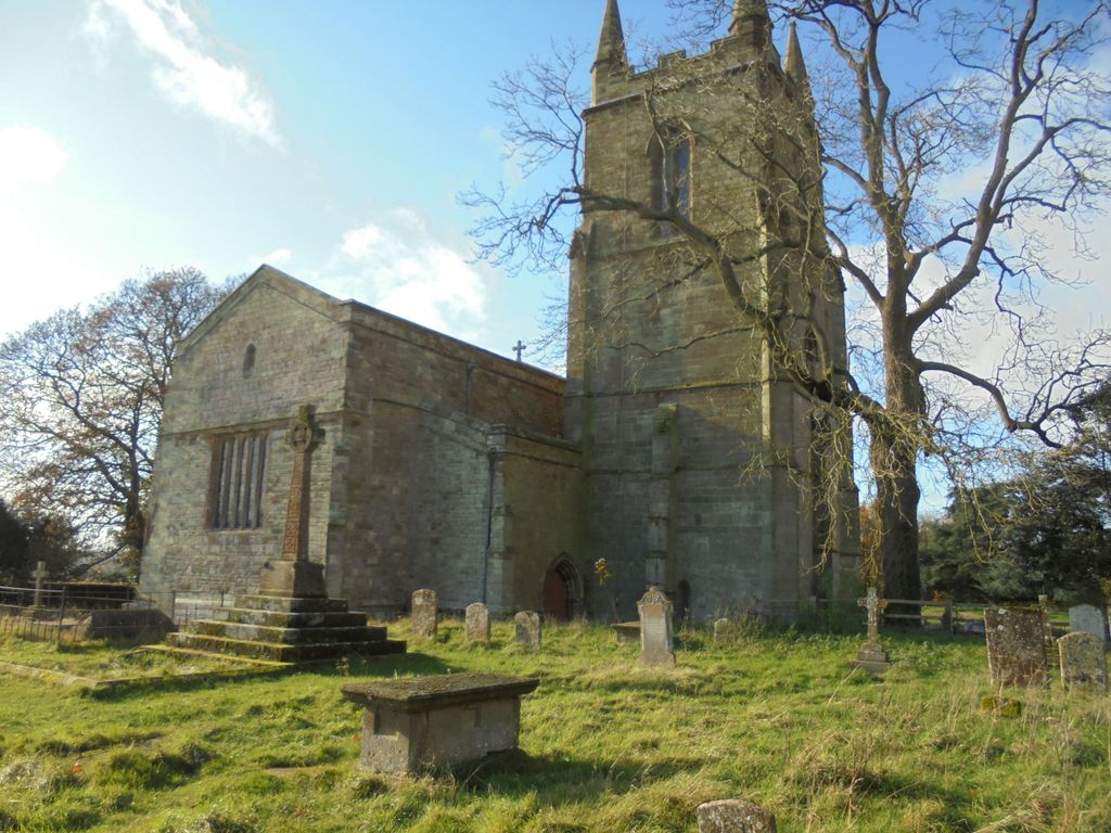
| Description | : | St Mary’s Church is a fragment of the west end of the nave of the Augustinian Priory founded circa 1150. Following the Dissolution of the Monasteries the Church became property of the Cope and then Dryden families, and It is one of only four parish churches in England that is privately owned, although the owner is now the National Trust rather than the Dryden family. Generations of Drydens have been buried in the church or are commemorated by plaques on the walls. The cemetery surrounds the Church and there are also a number of graves and memorials inside the building. |
frequently asked questions (FAQ):
-
Where is St. Mary’s Churchyard?
St. Mary’s Churchyard is located at Canons Ashby Canons Ashby, Daventry District ,Northamptonshire , NN11 3SDEngland.
-
St. Mary’s Churchyard cemetery's updated grave count on graveviews.com?
2 memorials
-
Where are the coordinates of the St. Mary’s Churchyard?
Latitude: 52.1502747
Longitude: -1.1568058
Nearby Cemetories:
1. Canons Ashby
Daventry District, England
Coordinate: 52.1504600, -1.1566400
2. Church of St. Mary The Virgin
Moreton Pinkney, South Northamptonshire Borough, England
Coordinate: 52.1369170, -1.1628810
3. All Saints Churchyard
Adstone, South Northamptonshire Borough, England
Coordinate: 52.1574740, -1.1306620
4. St Mary and St Peter Churchyard
Weedon Lois, South Northamptonshire Borough, England
Coordinate: 52.1178320, -1.1228690
5. St. Peter and St. Paul Churchyard
Preston Capes, Daventry District, England
Coordinate: 52.1893410, -1.1614570
6. St Mary Churchyard
Blakesley, South Northamptonshire Borough, England
Coordinate: 52.1489310, -1.0850410
7. St. Mary's Churchyard
Blakesley, South Northamptonshire Borough, England
Coordinate: 52.1490000, -1.0850000
8. St. James the Less Churchyard
Sulgrave, South Northamptonshire Borough, England
Coordinate: 52.1036130, -1.1883880
9. St. Mary the Virgin
Farthingstone, Daventry District, England
Coordinate: 52.1899123, -1.1043480
10. Holy Trinity Churchyard
Charwelton, Daventry District, England
Coordinate: 52.1952913, -1.2044410
11. St. Mary the Virgin Churchyard
Wappenham, South Northamptonshire Borough, England
Coordinate: 52.1057700, -1.0890570
12. Everdon Parish CHurchyard
Everdon, Daventry District, England
Coordinate: 52.2123168, -1.1310740
13. St. Botolph's Churchyard
Slapton, South Northamptonshire Borough, England
Coordinate: 52.1166000, -1.0666000
14. St. John the Baptist Churchyard
Thorpe Mandeville, South Northamptonshire Borough, England
Coordinate: 52.1003400, -1.2244400
15. St. Mary Magdalene's Churchyard
Helmdon, South Northamptonshire Borough, England
Coordinate: 52.0838310, -1.1404000
16. Eydon Burial Ground
Eydon, South Northamptonshire Borough, England
Coordinate: 52.1347200, -1.2724300
17. St. John the Baptist Churchyard
Abthorpe, South Northamptonshire Borough, England
Coordinate: 52.1131262, -1.0529425
18. St. Mary the Virgin
Badby, Daventry District, England
Coordinate: 52.2240200, -1.1820100
19. St. Peter's Churchyard
Greatworth, South Northamptonshire Borough, England
Coordinate: 52.0770540, -1.1954490
20. St. Luke's Churchyard
Cold Higham, South Northamptonshire Borough, England
Coordinate: 52.1759000, -1.0323000
21. St Michael's Church
Stowe Nine Churches, Daventry District, England
Coordinate: 52.2120000, -1.0721000
22. St Bartholomew Churchyard
Greens Norton, South Northamptonshire Borough, England
Coordinate: 52.1434200, -1.0234100
23. St. Lawrence Churchyard
Marston St Lawrence, South Northamptonshire Borough, England
Coordinate: 52.0744570, -1.2190630
24. St. Mary Magdalene Churchyard
Wardington, Cherwell District, England
Coordinate: 52.1131949, -1.2841641

