| Memorials | : | 0 |
| Location | : | Abthorpe, South Northamptonshire Borough, England |
| Website | : | www.whittlewoodparishes.org.uk |
| Coordinate | : | 52.1131262, -1.0529425 |
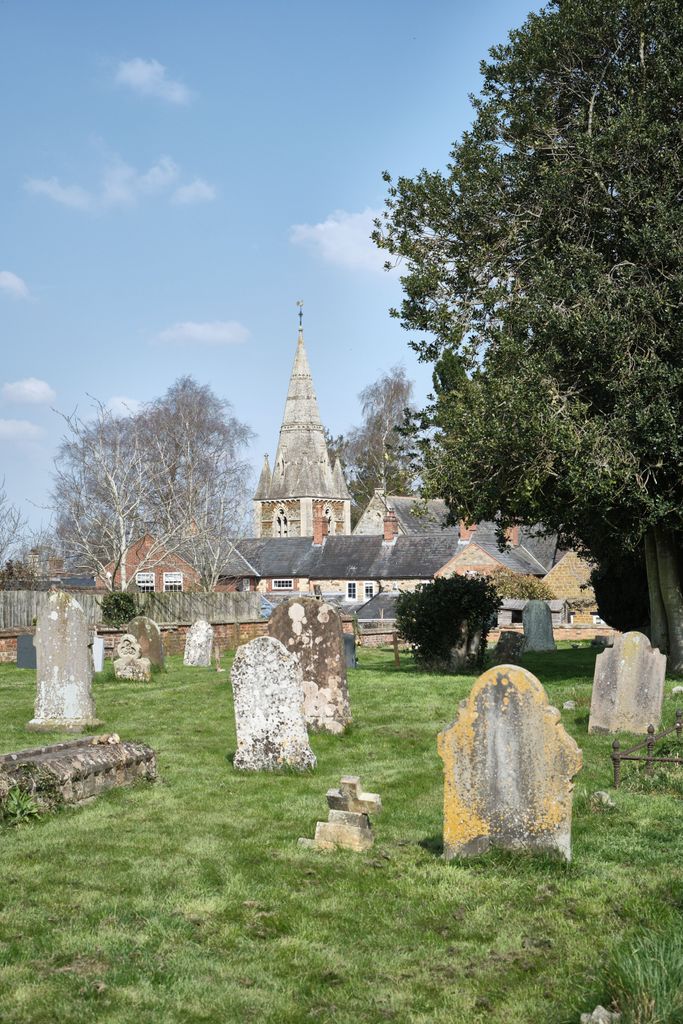
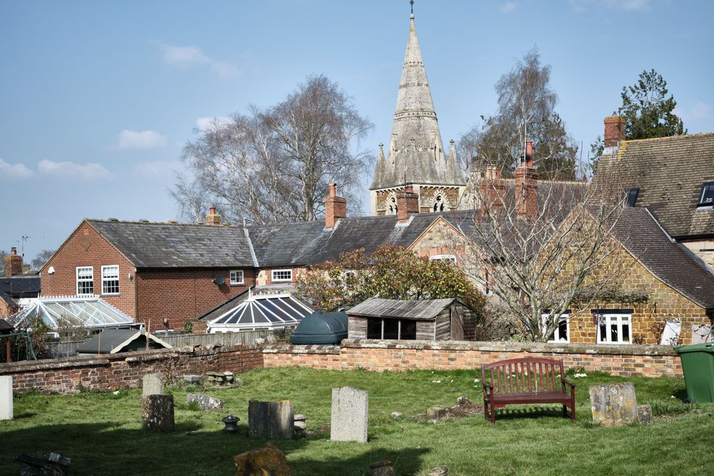
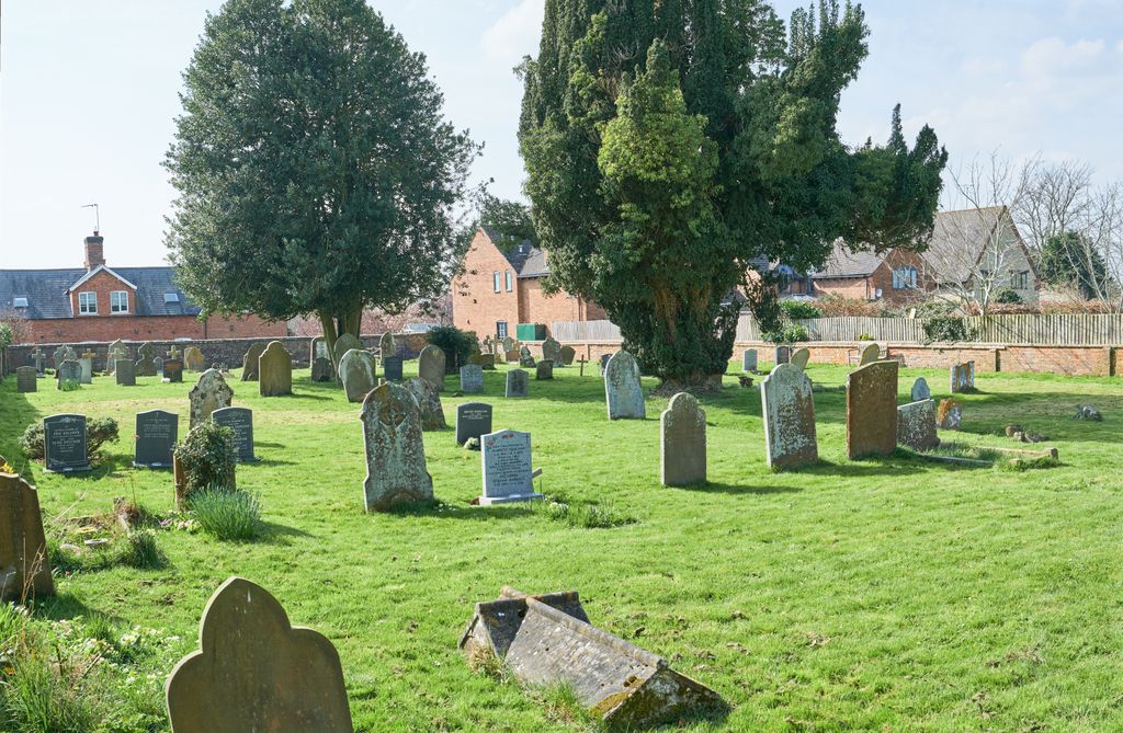
| Description | : | The current church in Abthorpe dates from 1870 and replaced an older building with parts dating from the 14th Century. The church was originally a Chapel-of-Ease attached to Towcester and the building was for many years very basic and in poor repair. The vicars from Towcester did not support the village or the church very well and in 1737 following pressure from the parishioners, Abthorpe was made a separate parish. Financial provisions for the future support of the incumbent were provided by the Leeson Trustees, a village charity established in the mid 17th century, together with other... Read More |
frequently asked questions (FAQ):
-
Where is St. John the Baptist Churchyard?
St. John the Baptist Churchyard is located at Main Street Abthorpe Abthorpe, South Northamptonshire Borough ,Northamptonshire , NN12 8QUEngland.
-
St. John the Baptist Churchyard cemetery's updated grave count on graveviews.com?
0 memorials
-
Where are the coordinates of the St. John the Baptist Churchyard?
Latitude: 52.1131262
Longitude: -1.0529425
Nearby Cemetories:
1. St. Botolph's Churchyard
Slapton, South Northamptonshire Borough, England
Coordinate: 52.1166000, -1.0666000
2. St. Mary the Virgin Churchyard
Wappenham, South Northamptonshire Borough, England
Coordinate: 52.1057700, -1.0890570
3. St Bartholomew Churchyard
Greens Norton, South Northamptonshire Borough, England
Coordinate: 52.1434200, -1.0234100
4. Brackley Road Cemetery
Towcester, South Northamptonshire Borough, England
Coordinate: 52.1294010, -0.9997560
5. St Mary Churchyard
Blakesley, South Northamptonshire Borough, England
Coordinate: 52.1489310, -1.0850410
6. St. Mary's Churchyard
Blakesley, South Northamptonshire Borough, England
Coordinate: 52.1490000, -1.0850000
7. St Mary and St Peter Churchyard
Weedon Lois, South Northamptonshire Borough, England
Coordinate: 52.1178320, -1.1228690
8. St. Mary's Churchyard
Easton Neston, South Northamptonshire Borough, England
Coordinate: 52.1363720, -0.9756590
9. St James the Great Churchyard
Paulerspury, South Northamptonshire Borough, England
Coordinate: 52.1032000, -0.9565000
10. St. Mary Magdalene's Churchyard
Helmdon, South Northamptonshire Borough, England
Coordinate: 52.0838310, -1.1404000
11. Biddlesden Abbey
Harringworth, East Northamptonshire Borough, England
Coordinate: 52.0539000, -1.0797000
12. St. Margaret's Churchyard
Biddlesden, Aylesbury Vale District, England
Coordinate: 52.0535450, -1.0782870
13. St. Luke's Churchyard
Cold Higham, South Northamptonshire Borough, England
Coordinate: 52.1759000, -1.0323000
14. St. John the Baptist Churchyard
Tiffield, South Northamptonshire Borough, England
Coordinate: 52.1586117, -0.9794450
15. All Saints Churchyard
Adstone, South Northamptonshire Borough, England
Coordinate: 52.1574740, -1.1306620
16. Church of St. Mary The Virgin
Moreton Pinkney, South Northamptonshire Borough, England
Coordinate: 52.1369170, -1.1628810
17. Church of the Holy Cross
Pattishall, South Northamptonshire Borough, England
Coordinate: 52.1828670, -1.0197770
18. St. Mary’s Churchyard
Canons Ashby, Daventry District, England
Coordinate: 52.1502747, -1.1568058
19. Canons Ashby
Daventry District, England
Coordinate: 52.1504600, -1.1566400
20. St. Nicholas of Myra Churchyard
Lillingstone Dayrell, Aylesbury Vale District, England
Coordinate: 52.0524510, -0.9728480
21. Lillingstone Lovell Cemetery
Lillingstone Lovell, Aylesbury Vale District, England
Coordinate: 52.0584600, -0.9619000
22. Parish Church of the Assumption
Lillingstone Lovell, Aylesbury Vale District, England
Coordinate: 52.0582400, -0.9621460
23. St. Mary the Virgin
Farthingstone, Daventry District, England
Coordinate: 52.1899123, -1.1043480
24. St. James the Less Churchyard
Sulgrave, South Northamptonshire Borough, England
Coordinate: 52.1036130, -1.1883880


