
| Memorials | : | 0 |
| Location | : | Slapton, South Northamptonshire Borough, England |
| Coordinate | : | 52.1166000, -1.0666000 |
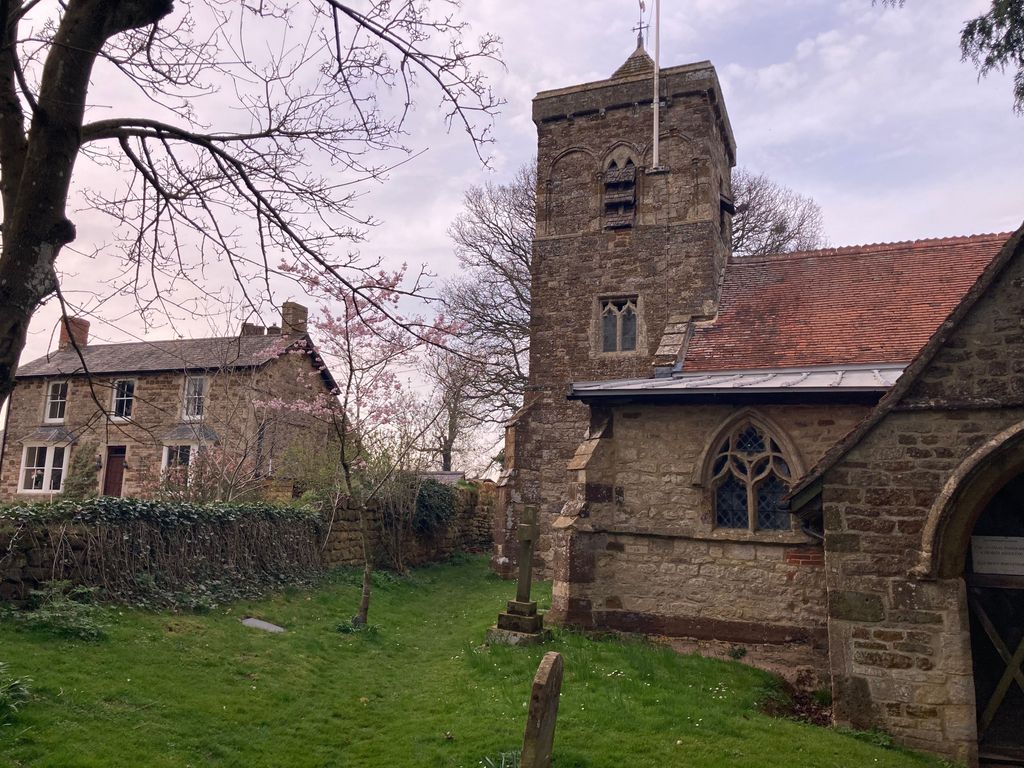
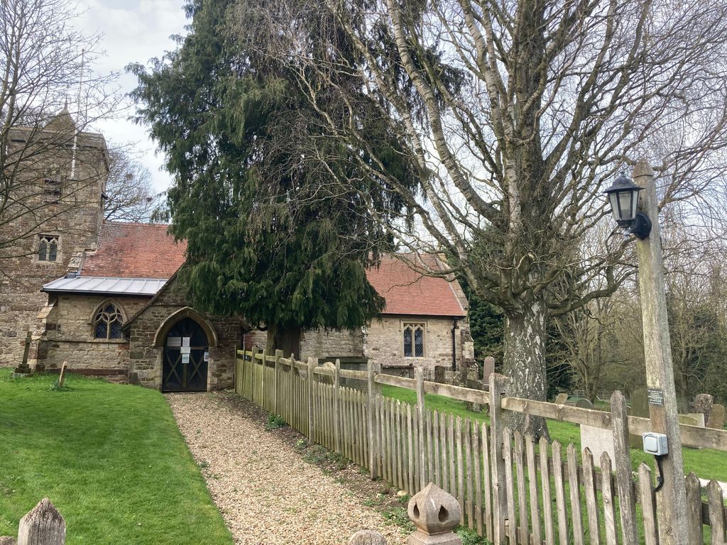
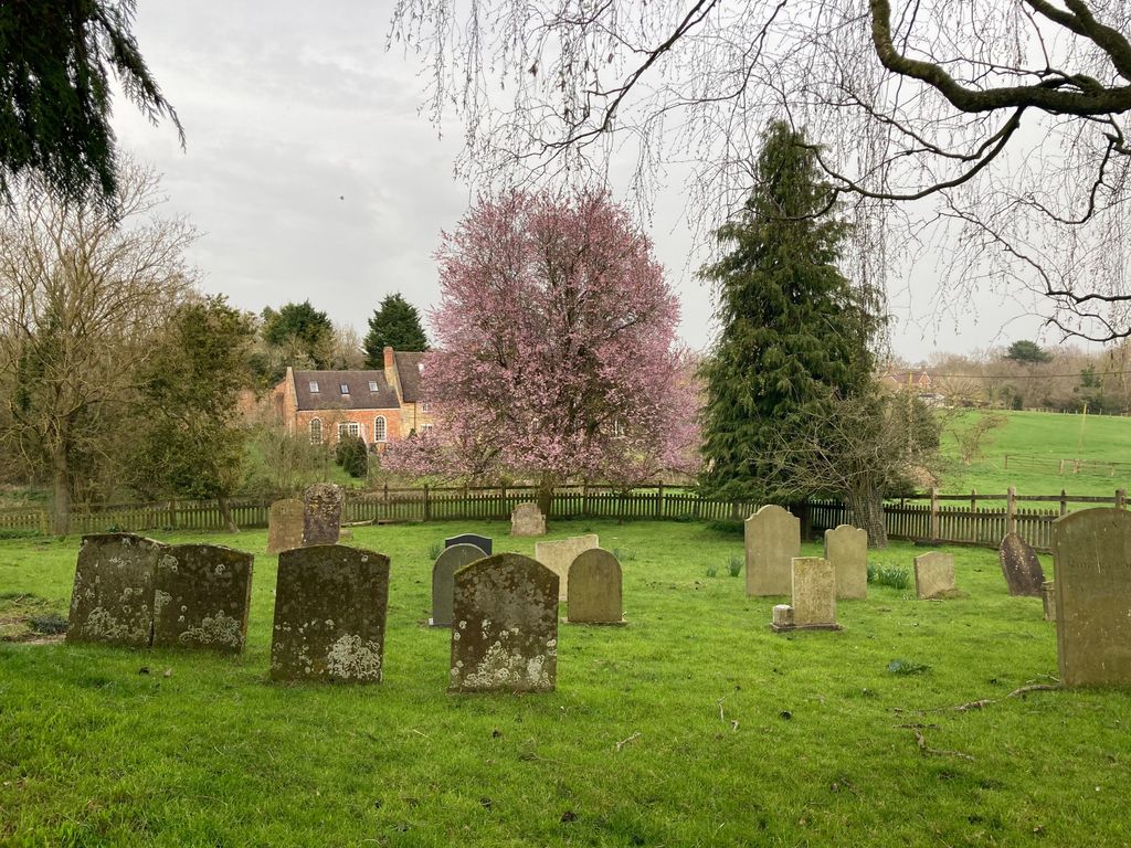
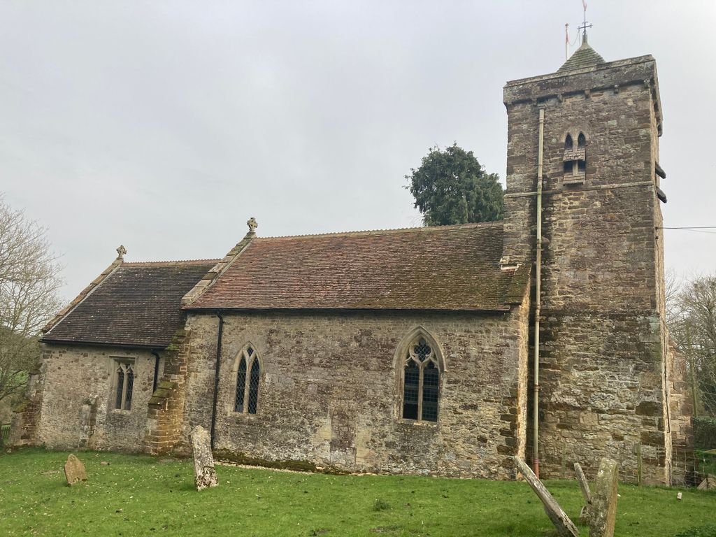
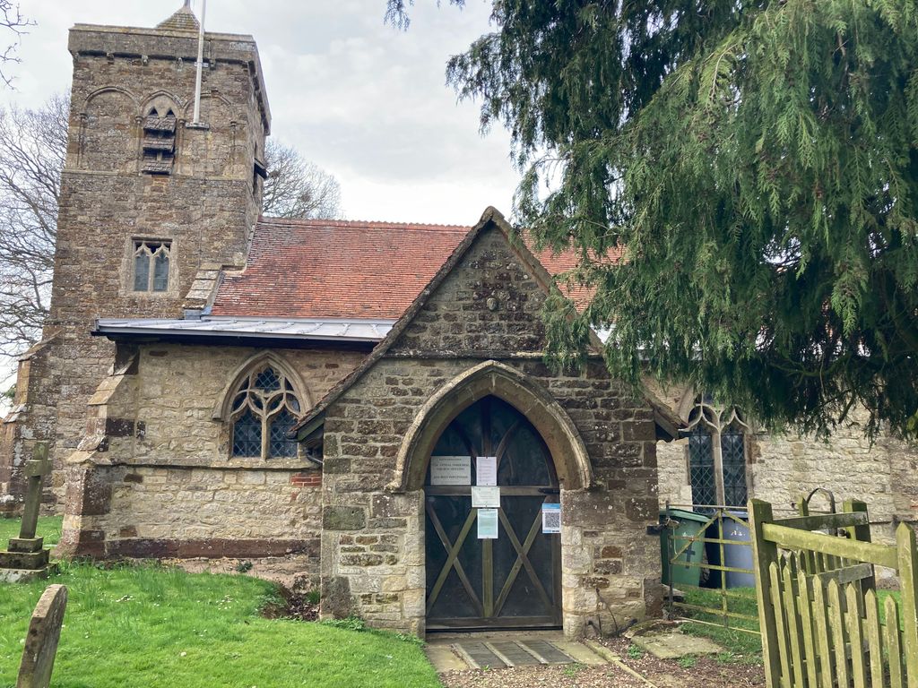
| Description | : | Church of St. Botolph Location: Slapton, South Northamptonshire, Northamptonshire, NN12 Civil Parish: Slapton, Church of England Parish: Slapton St Botolph, Church of England Diocese: Peterborough. A Grade I Listed Building in Towcester, Northamptonshire. |
frequently asked questions (FAQ):
-
Where is St. Botolph's Churchyard?
St. Botolph's Churchyard is located at Chapel Lane Slapton, South Northamptonshire Borough ,Northamptonshire , NN12 8PFEngland.
-
St. Botolph's Churchyard cemetery's updated grave count on graveviews.com?
0 memorials
-
Where are the coordinates of the St. Botolph's Churchyard?
Latitude: 52.1166000
Longitude: -1.0666000
Nearby Cemetories:
1. St. John the Baptist Churchyard
Abthorpe, South Northamptonshire Borough, England
Coordinate: 52.1131262, -1.0529425
2. St. Mary the Virgin Churchyard
Wappenham, South Northamptonshire Borough, England
Coordinate: 52.1057700, -1.0890570
3. St Mary Churchyard
Blakesley, South Northamptonshire Borough, England
Coordinate: 52.1489310, -1.0850410
4. St. Mary's Churchyard
Blakesley, South Northamptonshire Borough, England
Coordinate: 52.1490000, -1.0850000
5. St Mary and St Peter Churchyard
Weedon Lois, South Northamptonshire Borough, England
Coordinate: 52.1178320, -1.1228690
6. St Bartholomew Churchyard
Greens Norton, South Northamptonshire Borough, England
Coordinate: 52.1434200, -1.0234100
7. Brackley Road Cemetery
Towcester, South Northamptonshire Borough, England
Coordinate: 52.1294010, -0.9997560
8. St. Mary Magdalene's Churchyard
Helmdon, South Northamptonshire Borough, England
Coordinate: 52.0838310, -1.1404000
9. All Saints Churchyard
Adstone, South Northamptonshire Borough, England
Coordinate: 52.1574740, -1.1306620
10. St. Mary's Churchyard
Easton Neston, South Northamptonshire Borough, England
Coordinate: 52.1363720, -0.9756590
11. Church of St. Mary The Virgin
Moreton Pinkney, South Northamptonshire Borough, England
Coordinate: 52.1369170, -1.1628810
12. St. Luke's Churchyard
Cold Higham, South Northamptonshire Borough, England
Coordinate: 52.1759000, -1.0323000
13. Biddlesden Abbey
Harringworth, East Northamptonshire Borough, England
Coordinate: 52.0539000, -1.0797000
14. St. Margaret's Churchyard
Biddlesden, Aylesbury Vale District, England
Coordinate: 52.0535450, -1.0782870
15. St. Mary’s Churchyard
Canons Ashby, Daventry District, England
Coordinate: 52.1502747, -1.1568058
16. Canons Ashby
Daventry District, England
Coordinate: 52.1504600, -1.1566400
17. St. John the Baptist Churchyard
Tiffield, South Northamptonshire Borough, England
Coordinate: 52.1586117, -0.9794450
18. St James the Great Churchyard
Paulerspury, South Northamptonshire Borough, England
Coordinate: 52.1032000, -0.9565000
19. Church of the Holy Cross
Pattishall, South Northamptonshire Borough, England
Coordinate: 52.1828670, -1.0197770
20. St. James the Less Churchyard
Sulgrave, South Northamptonshire Borough, England
Coordinate: 52.1036130, -1.1883880
21. St. Mary the Virgin
Farthingstone, Daventry District, England
Coordinate: 52.1899123, -1.1043480
22. St. Nicholas of Myra Churchyard
Lillingstone Dayrell, Aylesbury Vale District, England
Coordinate: 52.0524510, -0.9728480
23. Lillingstone Lovell Cemetery
Lillingstone Lovell, Aylesbury Vale District, England
Coordinate: 52.0584600, -0.9619000
24. Parish Church of the Assumption
Lillingstone Lovell, Aylesbury Vale District, England
Coordinate: 52.0582400, -0.9621460