
| Memorials | : | 0 |
| Location | : | Greens Norton, South Northamptonshire Borough, England |
| Coordinate | : | 52.1434200, -1.0234100 |
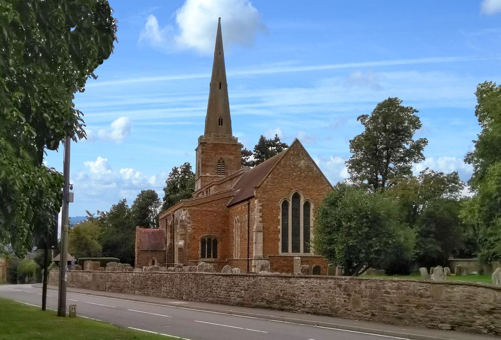
| Description | : | This Saxon church dates back to as early as the 600's and was in the royal domain named Norton Davey, used by Edward the Confessor and later, William the Conqueror. The entire village and church was sold to Sir Henry Green in 1335, renamed Norton Greene, and became the seat for the Greene family. |
frequently asked questions (FAQ):
-
Where is St Bartholomew Churchyard?
St Bartholomew Churchyard is located at Chantry Lane Greens Norton, South Northamptonshire Borough ,Northamptonshire , NN12 6ABEngland.
-
St Bartholomew Churchyard cemetery's updated grave count on graveviews.com?
0 memorials
-
Where are the coordinates of the St Bartholomew Churchyard?
Latitude: 52.1434200
Longitude: -1.0234100
Nearby Cemetories:
1. Brackley Road Cemetery
Towcester, South Northamptonshire Borough, England
Coordinate: 52.1294010, -0.9997560
2. St. Mary's Churchyard
Easton Neston, South Northamptonshire Borough, England
Coordinate: 52.1363720, -0.9756590
3. St. John the Baptist Churchyard
Tiffield, South Northamptonshire Borough, England
Coordinate: 52.1586117, -0.9794450
4. St. Luke's Churchyard
Cold Higham, South Northamptonshire Borough, England
Coordinate: 52.1759000, -1.0323000
5. St. John the Baptist Churchyard
Abthorpe, South Northamptonshire Borough, England
Coordinate: 52.1131262, -1.0529425
6. St. Botolph's Churchyard
Slapton, South Northamptonshire Borough, England
Coordinate: 52.1166000, -1.0666000
7. St. Mary's Churchyard
Blakesley, South Northamptonshire Borough, England
Coordinate: 52.1490000, -1.0850000
8. St Mary Churchyard
Blakesley, South Northamptonshire Borough, England
Coordinate: 52.1489310, -1.0850410
9. Church of the Holy Cross
Pattishall, South Northamptonshire Borough, England
Coordinate: 52.1828670, -1.0197770
10. St. Mary the Virgin Churchyard
Gayton, South Northamptonshire Borough, England
Coordinate: 52.1869000, -0.9687000
11. St. Mary the Virgin Churchyard
Wappenham, South Northamptonshire Borough, England
Coordinate: 52.1057700, -1.0890570
12. St James the Great Churchyard
Paulerspury, South Northamptonshire Borough, England
Coordinate: 52.1032000, -0.9565000
13. Blisworth
Blisworth, South Northamptonshire Borough, England
Coordinate: 52.1751366, -0.9416729
14. St Mary and St Peter Churchyard
Weedon Lois, South Northamptonshire Borough, England
Coordinate: 52.1178320, -1.1228690
15. St Michael & All Angels Churchyard
Bugbrooke, South Northamptonshire Borough, England
Coordinate: 52.2096900, -1.0149000
16. All Saints Churchyard
Adstone, South Northamptonshire Borough, England
Coordinate: 52.1574740, -1.1306620
17. St. Mary the Virgin
Farthingstone, Daventry District, England
Coordinate: 52.1899123, -1.1043480
18. St Peter and St Paul
Rothersthorpe, South Northamptonshire Borough, England
Coordinate: 52.2034651, -0.9566385
19. Rothersthorpe Extension
Rothersthorpe, South Northamptonshire Borough, England
Coordinate: 52.2046235, -0.9591382
20. St Michael's Church
Stowe Nine Churches, Daventry District, England
Coordinate: 52.2120000, -1.0721000
21. Nether Heyford Cemetery
Nether Heyford, South Northamptonshire Borough, England
Coordinate: 52.2220715, -1.0385032
22. Canons Ashby
Daventry District, England
Coordinate: 52.1504600, -1.1566400
23. St. Mary’s Churchyard
Canons Ashby, Daventry District, England
Coordinate: 52.1502747, -1.1568058
24. St Mary's Church
Grafton Regis, South Northamptonshire Borough, England
Coordinate: 52.1154430, -0.8931010