
| Memorials | : | 0 |
| Location | : | Weston-on-the-Green, Cherwell District, England |
| Coordinate | : | 51.8632420, -1.2302540 |
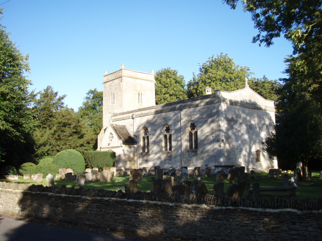
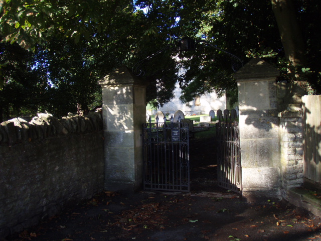
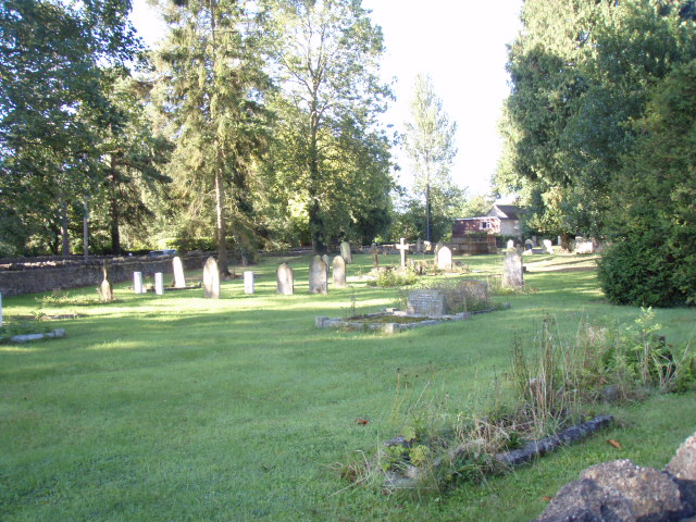
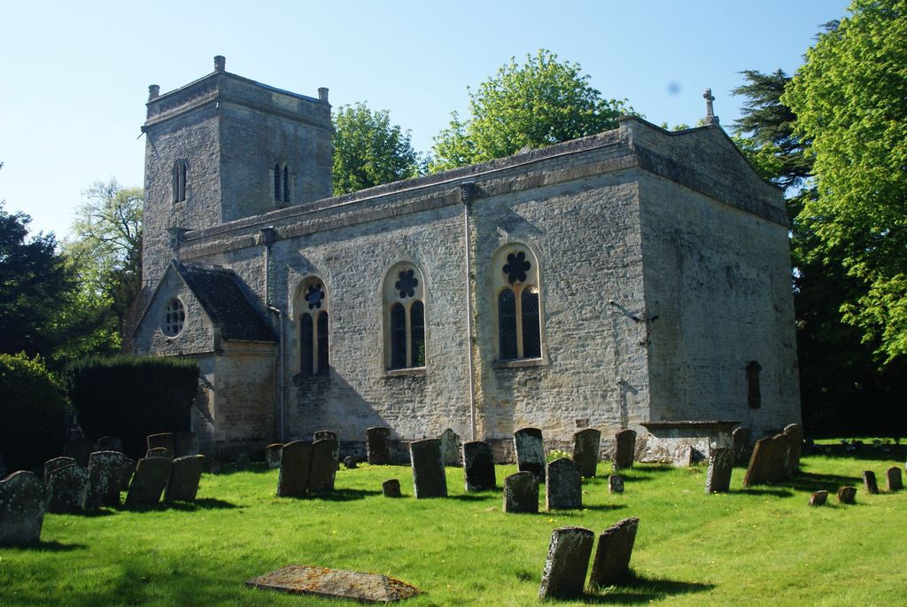
| Description | : | The Church of England parish church of Saint Mary dates from the thirteenth century, but by 1741 its building in a ruinous condition and in 1743-44 all but the bell tower was rebuilt. The architect R. Phené Spiers restored the building in the 1870s. The village flower-bed roundabout maintained by the Gardening ClubWeston Manor House is a mediaeval building that was rebuilt in the 16th century and re-fronted in about 1820. It is now a hotel. The Church of England school was opened in 1855. Oxfordshire County Council took it over in 1920 and reorganised it... Read More |
frequently asked questions (FAQ):
-
Where is St Marys Churchyard?
St Marys Churchyard is located at Weston-on-the-Green, Cherwell District ,Oxfordshire ,England.
-
St Marys Churchyard cemetery's updated grave count on graveviews.com?
0 memorials
-
Where are the coordinates of the St Marys Churchyard?
Latitude: 51.8632420
Longitude: -1.2302540
Nearby Cemetories:
1. St Giles Churchyard and Extension
Bletchingdon, Cherwell District, England
Coordinate: 51.8582500, -1.2655500
2. St Giles Churchyard
Wendlebury, Cherwell District, England
Coordinate: 51.8730580, -1.1901000
3. St Mary the Virgin Churchyard
Kirtlington, Cherwell District, England
Coordinate: 51.8718610, -1.2742740
4. St. Mary the Virgin Churchyard
Charlton-on-Otmoor, Cherwell District, England
Coordinate: 51.8381510, -1.1859010
5. St Mary Churchyard
Chesterton, Cherwell District, England
Coordinate: 51.8879880, -1.1851540
6. St Mary Church Cemetery
Charlton-on-Otmoor, Cherwell District, England
Coordinate: 51.8394100, -1.1838090
7. St. Andrew Churchyard
Oddington, Cherwell District, England
Coordinate: 51.8291010, -1.1996230
8. St Mary the Virgin Churchyard
Hampton Poyle, Cherwell District, England
Coordinate: 51.8359630, -1.2780620
9. St. Nicholas' Churchyard
Islip, Cherwell District, England
Coordinate: 51.8230010, -1.2375590
10. St Swithuns Churchyard
Merton, Cherwell District, England
Coordinate: 51.8559670, -1.1633060
11. All Saints Churchyard
Middleton Stoney, Cherwell District, England
Coordinate: 51.9053470, -1.2295300
12. St Mary the Virgin Churchyard
Kidlington, Cherwell District, England
Coordinate: 51.8296680, -1.2797360
13. St Giles Churchyard
Shipton-on-Cherwell, Cherwell District, England
Coordinate: 51.8444550, -1.2981890
14. Holy Cross Churchyard
Shipton-on-Cherwell, Cherwell District, England
Coordinate: 51.8452170, -1.3043260
15. St Giles Churchyard
Noke, Cherwell District, England
Coordinate: 51.8145050, -1.2114790
16. St. Nicholas Churchyard
Tackley, West Oxfordshire District, England
Coordinate: 51.8782400, -1.3102910
17. Kidlington Burial Ground
Kidlington, Cherwell District, England
Coordinate: 51.8266010, -1.2916660
18. Bicester Town Cemetery
Bicester, Cherwell District, England
Coordinate: 51.8945880, -1.1553730
19. St Edburg Churchyard
Bicester, Cherwell District, England
Coordinate: 51.8960060, -1.1541930
20. Independent Chapel Cemetery
Bicester, Cherwell District, England
Coordinate: 51.8960550, -1.1514940
21. Woodeaton Holy Rood Churchyard
Woodeaton, South Oxfordshire District, England
Coordinate: 51.8031620, -1.2257910
22. Bicester Priory
Bicester, Cherwell District, England
Coordinate: 51.9000000, -1.1500000
23. North Oxfordshire Memorial Park and Crematorium
Tackley, West Oxfordshire District, England
Coordinate: 51.8647410, -1.3312160
24. St Marys Churchyard
Ambrosden, Cherwell District, England
Coordinate: 51.8699990, -1.1255190