
| Memorials | : | 1 |
| Location | : | Stalling Busk, Richmondshire District, England |
| Coordinate | : | 54.2686220, -2.1302030 |
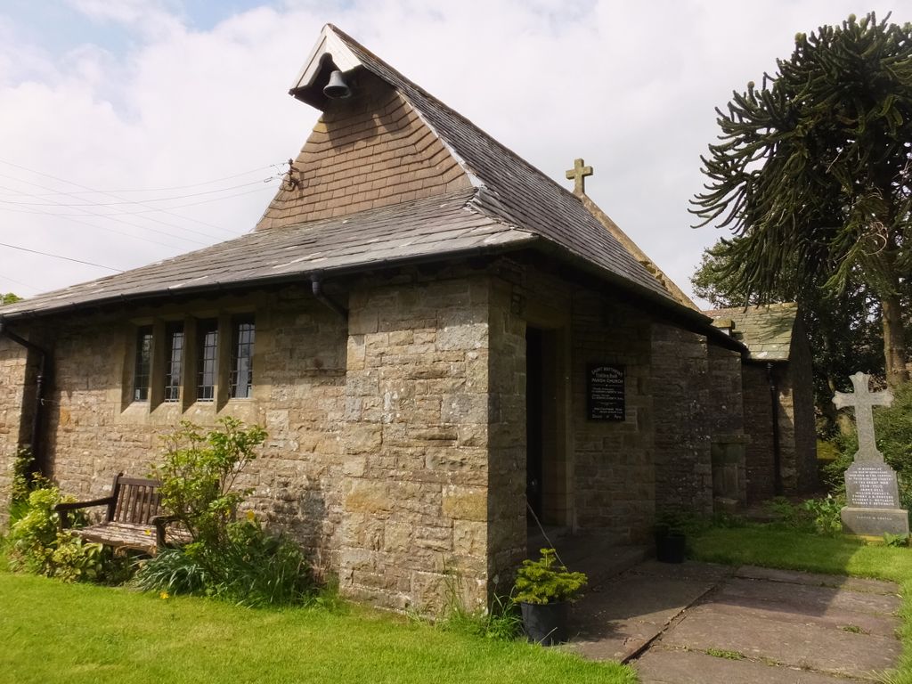
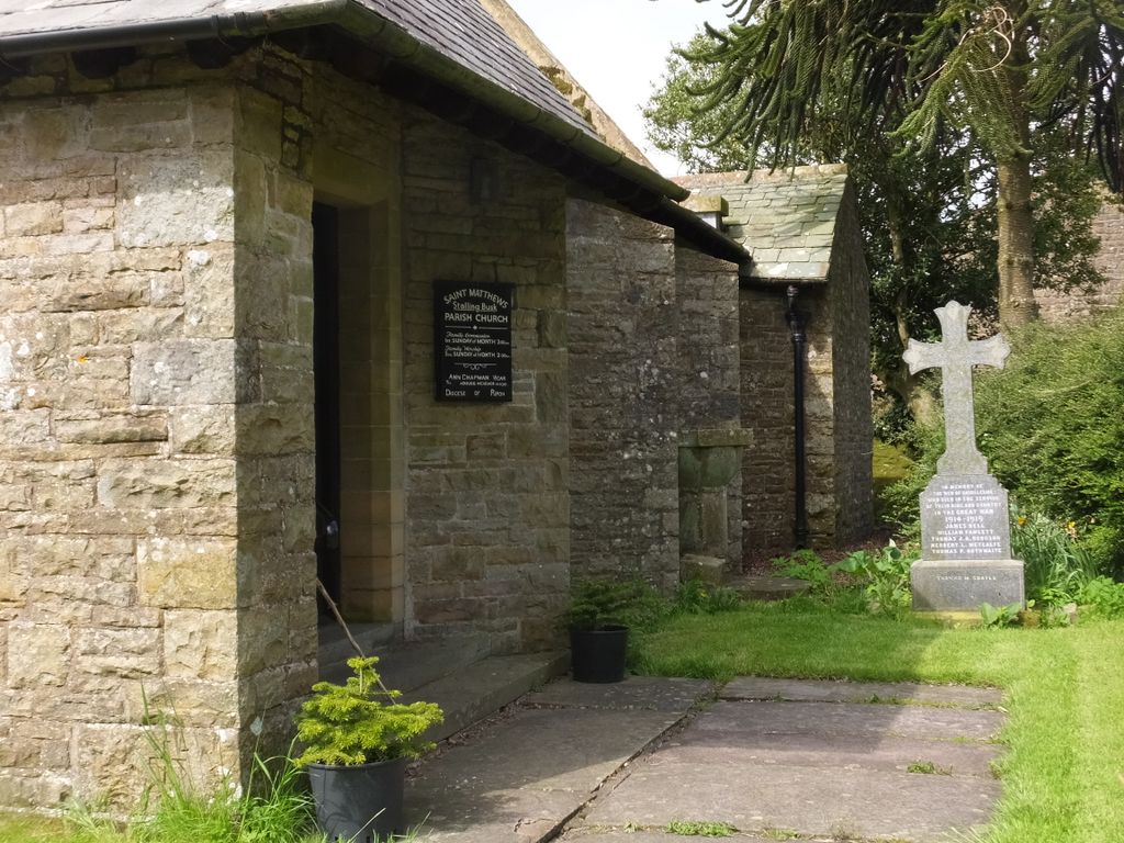
| Description | : | Built in 1909, this church building replaced an older church at the edge of the village that had fallen in to disrepair. See St Matthew Old Churchyard for the original churchyard, which is still in use. |
frequently asked questions (FAQ):
-
Where is St Matthew Churchyard?
St Matthew Churchyard is located at Stalling Busk, Richmondshire District ,North Yorkshire , DL8 3DHEngland.
-
St Matthew Churchyard cemetery's updated grave count on graveviews.com?
1 memorials
-
Where are the coordinates of the St Matthew Churchyard?
Latitude: 54.2686220
Longitude: -2.1302030
Nearby Cemetories:
1. St Matthew Old Churchyard
Stalling Busk, Richmondshire District, England
Coordinate: 54.2695500, -2.1289300
2. Bainbridge Cemetery
Bainbridge, Richmondshire District, England
Coordinate: 54.3054000, -2.0994100
3. Friends Burial Ground
Bainbridge, Richmondshire District, England
Coordinate: 54.3093330, -2.1023380
4. Sandemanian Chapel Burial Ground
Hawes, Richmondshire District, England
Coordinate: 54.2992110, -2.1982010
5. Askrigg Cemetery
Askrigg, Richmondshire District, England
Coordinate: 54.3141230, -2.0915060
6. Friends Burial Ground
Hawes, Richmondshire District, England
Coordinate: 54.3039790, -2.1937940
7. St. Margaret's Churchyard
Hawes, Richmondshire District, England
Coordinate: 54.3032300, -2.1969700
8. St. Oswald Churchyard
Askrigg, Richmondshire District, England
Coordinate: 54.3147100, -2.0817500
9. St. Mary and St. John Churchyard
Hardraw, Richmondshire District, England
Coordinate: 54.3169800, -2.2052700
10. St. Michael and All Angels Churchyard
Hubberholme, Craven District, England
Coordinate: 54.2001100, -2.1147330
11. Friends Meeting House Burial Ground
Carperby, Richmondshire District, England
Coordinate: 54.3031720, -1.9925670
12. St. Andrew Churchyard
Aysgarth, Richmondshire District, England
Coordinate: 54.2922340, -1.9833760
13. St. Mary's Churchyard
Muker, Richmondshire District, England
Coordinate: 54.3763690, -2.1392860
14. Gunnerside Wesleyan Methodist Chapelyard
Gunnerside, Richmondshire District, England
Coordinate: 54.3783950, -2.0778320
15. Low Row United Reformed Chapelyard
Low Row, Richmondshire District, England
Coordinate: 54.3755880, -2.0317420
16. St Botolph Churchyard
Horsehouse, Richmondshire District, England
Coordinate: 54.2269100, -1.9292300
17. St Oswald Churchyard
Arncliffe, Craven District, England
Coordinate: 54.1434970, -2.1038940
18. Low Row Methodist Cemetery
Low Row, Richmondshire District, England
Coordinate: 54.3798050, -2.0259320
19. St Mary Churchyard
Redmire, Richmondshire District, England
Coordinate: 54.3126200, -1.9227400
20. Holy Trinity Churchyard
Low Row, Richmondshire District, England
Coordinate: 54.3812800, -2.0223090
21. St Bartholomew Churchyard
West Witton, Richmondshire District, England
Coordinate: 54.2920100, -1.9073200
22. St Mary Churchyard
Kettlewell, Craven District, England
Coordinate: 54.1459650, -2.0454120
23. Keld United Reform Chapelyard
Keld, Richmondshire District, England
Coordinate: 54.4055920, -2.1660210
24. Preston Under Scar Cemetery
Preston-under-Scar, Richmondshire District, England
Coordinate: 54.3133800, -1.8964000