
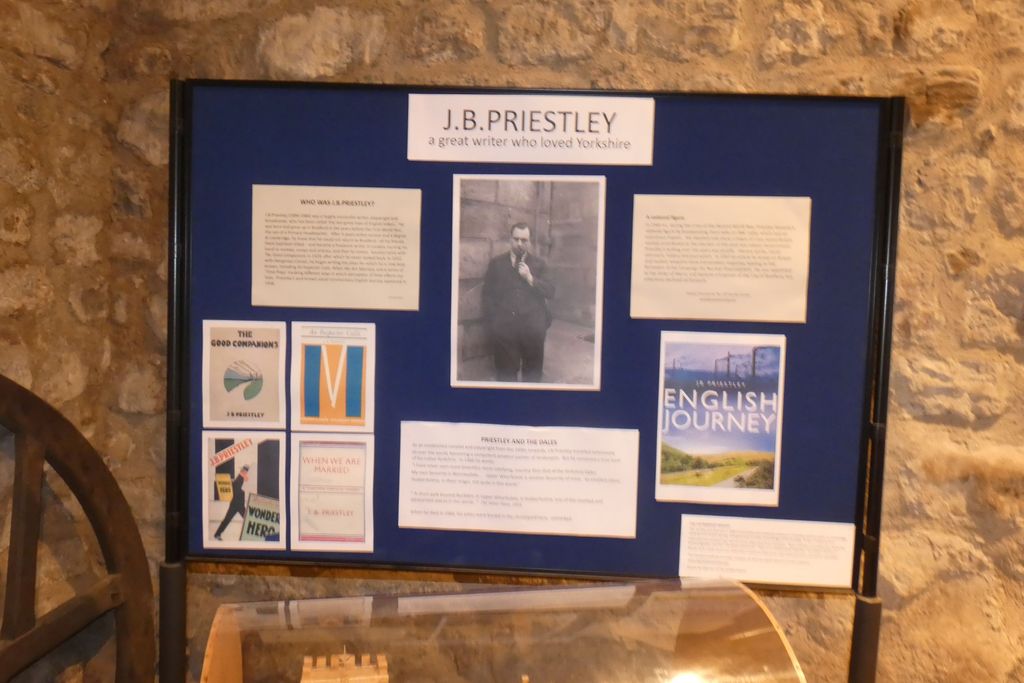
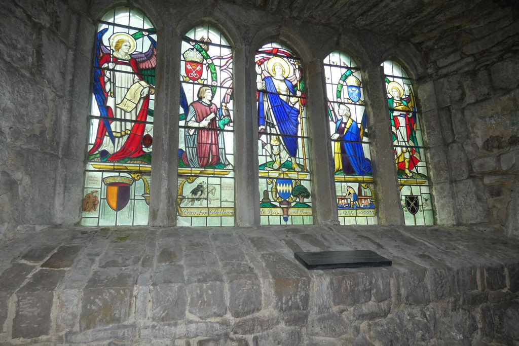
| Memorials | : | 1 |
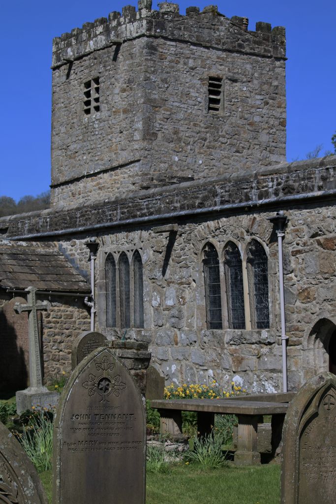
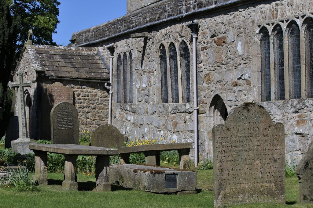
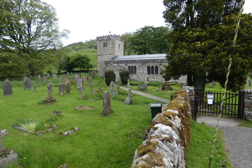
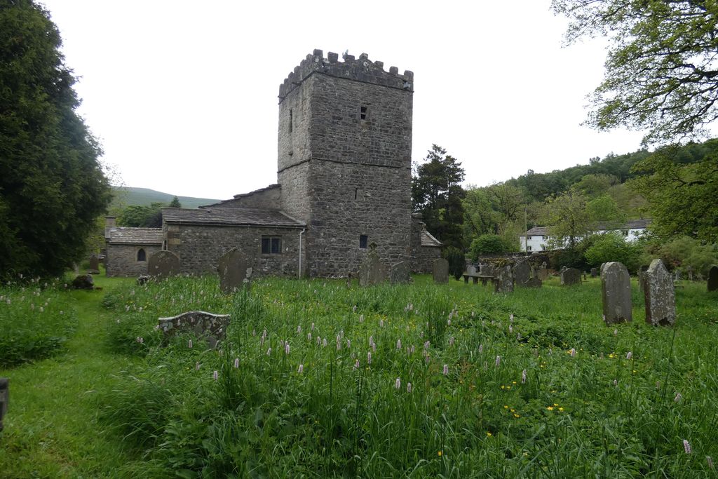
| Location | : | Hubberholme, Craven District, England |
| Coordinate | : | 54.2001100, -2.1147330 |
frequently asked questions (FAQ):
-
Where is St. Michael and All Angels Churchyard?
St. Michael and All Angels Churchyard is located at Hubberholme, Craven District ,North Yorkshire ,England.
-
St. Michael and All Angels Churchyard cemetery's updated grave count on graveviews.com?
1 memorials
-
Where are the coordinates of the St. Michael and All Angels Churchyard?
Latitude: 54.2001100
Longitude: -2.1147330
Nearby Cemetories:
1. St Oswald Churchyard
Arncliffe, Craven District, England
Coordinate: 54.1434970, -2.1038940
2. St Mary Churchyard
Kettlewell, Craven District, England
Coordinate: 54.1459650, -2.0454120
3. St Matthew Churchyard
Stalling Busk, Richmondshire District, England
Coordinate: 54.2686220, -2.1302030
4. St Matthew Old Churchyard
Stalling Busk, Richmondshire District, England
Coordinate: 54.2695500, -2.1289300
5. Bainbridge Cemetery
Bainbridge, Richmondshire District, England
Coordinate: 54.3054000, -2.0994100
6. St. Mary's Churchyard
Conistone, Craven District, England
Coordinate: 54.1042630, -2.0304750
7. Friends Burial Ground
Bainbridge, Richmondshire District, England
Coordinate: 54.3093330, -2.1023380
8. Sandemanian Chapel Burial Ground
Hawes, Richmondshire District, England
Coordinate: 54.2992110, -2.1982010
9. St Botolph Churchyard
Horsehouse, Richmondshire District, England
Coordinate: 54.2269100, -1.9292300
10. Friends Burial Ground
Hawes, Richmondshire District, England
Coordinate: 54.3039790, -2.1937940
11. St. Margaret's Churchyard
Hawes, Richmondshire District, England
Coordinate: 54.3032300, -2.1969700
12. Askrigg Cemetery
Askrigg, Richmondshire District, England
Coordinate: 54.3141230, -2.0915060
13. St. Oswald Churchyard
Askrigg, Richmondshire District, England
Coordinate: 54.3147100, -2.0817500
14. St Oswald Churchyard
Horton-in-Ribblesdale, Craven District, England
Coordinate: 54.1445140, -2.2922550
15. St. Andrew Churchyard
Aysgarth, Richmondshire District, England
Coordinate: 54.2922340, -1.9833760
16. Friends Meeting House Burial Ground
Carperby, Richmondshire District, England
Coordinate: 54.3031720, -1.9925670
17. St. Mary and St. John Churchyard
Hardraw, Richmondshire District, England
Coordinate: 54.3169800, -2.2052700
18. St Peter Churchyard
Stainforth, Craven District, England
Coordinate: 54.1019280, -2.2754890
19. Grassington Congregational Churchyard
Grassington, Craven District, England
Coordinate: 54.0723570, -1.9963100
20. St John the Evangelist Churchyard
Langcliffe, Craven District, England
Coordinate: 54.0807400, -2.2721000
21. St Bartholomew Churchyard
West Witton, Richmondshire District, England
Coordinate: 54.2920100, -1.9073200
22. St. Michael and All Angels Churchyard
Linton, Craven District, England
Coordinate: 54.0647950, -1.9933070
23. St Chad Churchyard
Middlesmoor, Harrogate Borough, England
Coordinate: 54.1630080, -1.8597240
24. St Michael the Archangel Churchyard
Kirkby Malham, Craven District, England
Coordinate: 54.0448480, -2.1628540