
| Memorials | : | 0 |
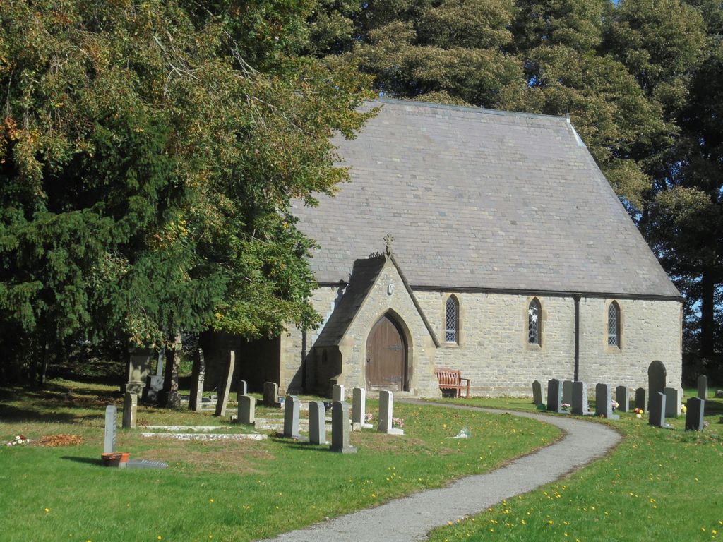
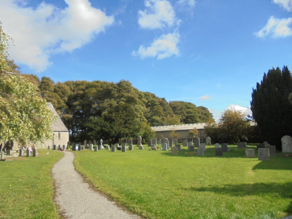
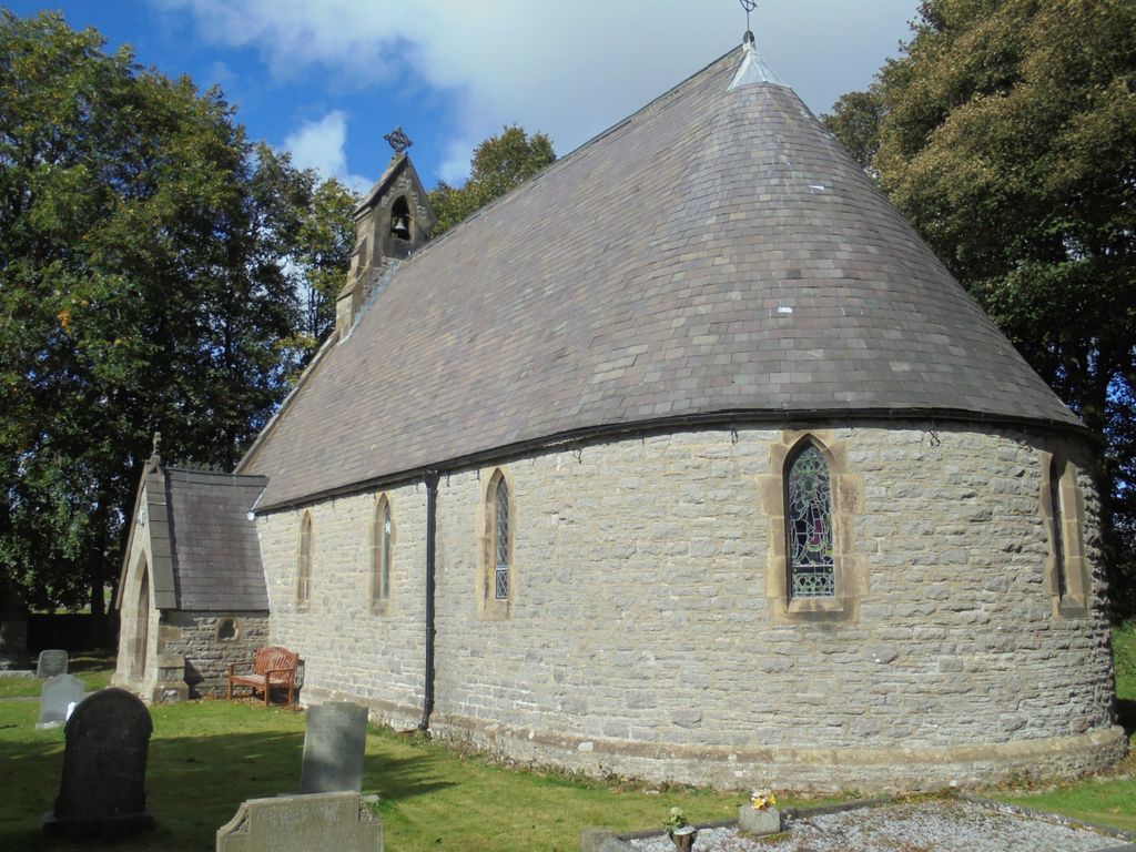
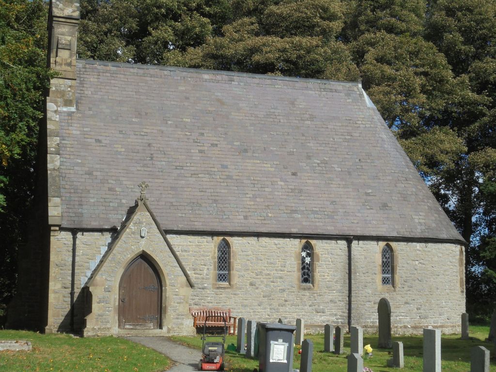
| Location | : | Sheldon, Derbyshire Dales District, England |
| Coordinate | : | 53.2165050, -1.7387150 |
frequently asked questions (FAQ):
-
Where is St. Michael & All Angels Churchyard?
St. Michael & All Angels Churchyard is located at Sheldon, Derbyshire Dales District ,Derbyshire ,England.
-
St. Michael & All Angels Churchyard cemetery's updated grave count on graveviews.com?
0 memorials
-
Where are the coordinates of the St. Michael & All Angels Churchyard?
Latitude: 53.2165050
Longitude: -1.7387150
Nearby Cemetories:
1. Holy Trinity Churchyard
Ashford-in-the-Water, Derbyshire Dales District, England
Coordinate: 53.2241640, -1.7093610
2. Little Longstone Chapel
Little Longstone, Derbyshire Dales District, England
Coordinate: 53.2413241, -1.7203296
3. St. Leonard's Churchyard
Monyash, Derbyshire Dales District, England
Coordinate: 53.1951190, -1.7748480
4. Monyash Quaker Burial Ground
Monyash, Derbyshire Dales District, England
Coordinate: 53.1960872, -1.7773422
5. St Anne Churchyard
Over Haddon, Derbyshire Dales District, England
Coordinate: 53.1940230, -1.6968800
6. Saint Giles Churchyard
Great Longstone, Derbyshire Dales District, England
Coordinate: 53.2432100, -1.7009100
7. All Saints Churchyard
Bakewell, Derbyshire Dales District, England
Coordinate: 53.2129170, -1.6784670
8. St Michael and All Angels Churchyard
Taddington, Derbyshire Dales District, England
Coordinate: 53.2372500, -1.7897380
9. Bakewell Cemetery
Bakewell, Derbyshire Dales District, England
Coordinate: 53.2083710, -1.6773120
10. Bakewell Quaker Burial Ground
Bakewell, Derbyshire Dales District, England
Coordinate: 53.2108382, -1.6754294
11. Litton Cemetery
Litton, Derbyshire Dales District, England
Coordinate: 53.2654380, -1.7573610
12. All Saints Churchyard
Youlgreave, Derbyshire Dales District, England
Coordinate: 53.1760130, -1.6841700
13. The Good Shepherd Churchyard
Wardlow, Derbyshire Dales District, England
Coordinate: 53.2693970, -1.7294140
14. St. John the Baptist Churchyard
Chelmorton, Derbyshire Dales District, England
Coordinate: 53.2292770, -1.8283570
15. Harthill Chapel
Harthill, Derbyshire Dales District, England
Coordinate: 53.1784740, -1.6588870
16. Immaculate Heart of Mary, Roman Catholic Chapel
Tideswell, Derbyshire Dales District, England
Coordinate: 53.2761640, -1.7741580
17. St John the Baptist Tideswell
Tideswell, Derbyshire Dales District, England
Coordinate: 53.2785640, -1.7728500
18. St Margaret
Wormhill, High Peak Borough, England
Coordinate: 53.2646730, -1.8154230
19. St. Peter's Churchyard
Edensor, Derbyshire Dales District, England
Coordinate: 53.2255530, -1.6260190
20. Tideswell Parish Council Cemetery
Tideswell, Derbyshire Dales District, England
Coordinate: 53.2846630, -1.7639730
21. Trot Lane Private Cemetery
Foolow, Derbyshire Dales District, England
Coordinate: 53.2872651, -1.7434660
22. Holy Trinity Churchyard
Stanton in Peak, Derbyshire Dales District, England
Coordinate: 53.1750700, -1.6403760
23. St. Anne Churchyard
Baslow, Derbyshire Dales District, England
Coordinate: 53.2473740, -1.6241110
24. St. Michael and All Angels Churchyard
Earl Sterndale, Derbyshire Dales District, England
Coordinate: 53.2006470, -1.8657430