
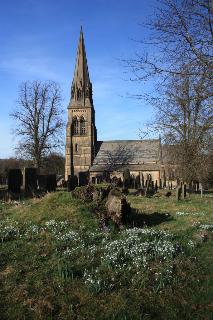
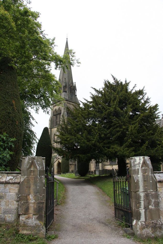
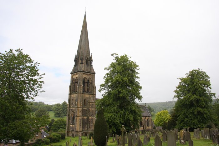
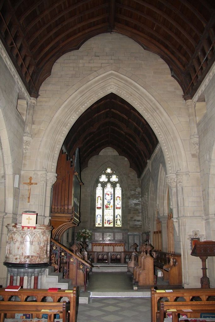
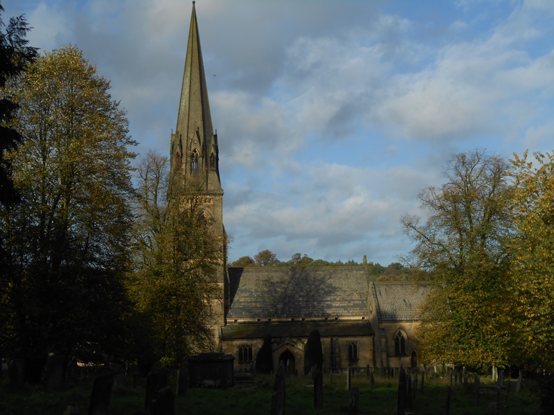
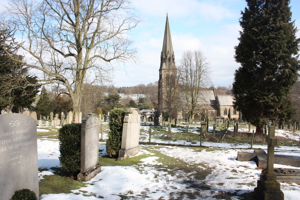
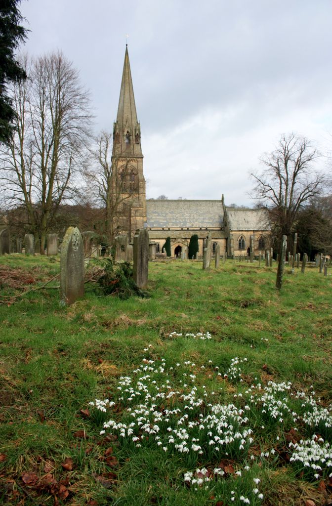
| Memorials | : | 2 |
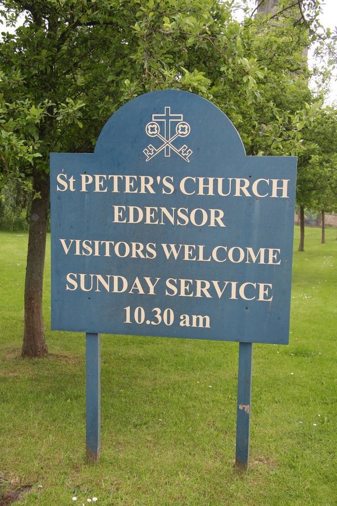
| Location | : | Edensor, Derbyshire Dales District, England |
| Coordinate | : | 53.2255530, -1.6260190 |
frequently asked questions (FAQ):
-
Where is St. Peter's Churchyard?
St. Peter's Churchyard is located at Jap Lane Edensor, Derbyshire Dales District ,Derbyshire , DE45 1PHEngland.
-
St. Peter's Churchyard cemetery's updated grave count on graveviews.com?
2 memorials
-
Where are the coordinates of the St. Peter's Churchyard?
Latitude: 53.2255530
Longitude: -1.6260190


Nearby Cemetories:
1. St. Anne Churchyard
Baslow, Derbyshire Dales District, England
Coordinate: 53.2473740, -1.6241110
2. St Anne Churchyard
Beeley, Derbyshire Dales District, England
Coordinate: 53.2052320, -1.6048640
3. Bakewell Quaker Burial Ground
Bakewell, Derbyshire Dales District, England
Coordinate: 53.2108382, -1.6754294
4. All Saints Churchyard
Bakewell, Derbyshire Dales District, England
Coordinate: 53.2129170, -1.6784670
5. Bakewell Cemetery
Bakewell, Derbyshire Dales District, England
Coordinate: 53.2083710, -1.6773120
6. All Saints Churchyard
Calver, Derbyshire Dales District, England
Coordinate: 53.2660740, -1.6303850
7. Saint Giles Churchyard
Great Longstone, Derbyshire Dales District, England
Coordinate: 53.2432100, -1.7009100
8. Holy Trinity Churchyard
Ashford-in-the-Water, Derbyshire Dales District, England
Coordinate: 53.2241640, -1.7093610
9. Harthill Chapel
Harthill, Derbyshire Dales District, England
Coordinate: 53.1784740, -1.6588870
10. Holy Trinity Churchyard
Stanton in Peak, Derbyshire Dales District, England
Coordinate: 53.1750700, -1.6403760
11. St Anne Churchyard
Over Haddon, Derbyshire Dales District, England
Coordinate: 53.1940230, -1.6968800
12. St Martin
Stoney Middleton, Derbyshire Dales District, England
Coordinate: 53.2758020, -1.6542840
13. Little Longstone Chapel
Little Longstone, Derbyshire Dales District, England
Coordinate: 53.2413241, -1.7203296
14. All Saints Churchyard
Youlgreave, Derbyshire Dales District, England
Coordinate: 53.1760130, -1.6841700
15. Riley Graves
Eyam, Derbyshire Dales District, England
Coordinate: 53.2839200, -1.6586665
16. St. Helen's Churchyard
Darley Dale, Derbyshire Dales District, England
Coordinate: 53.1634910, -1.6020670
17. Riley Farm
Eyam, Derbyshire Dales District, England
Coordinate: 53.2857957, -1.6636787
18. Eyam Village
Eyam, Derbyshire Dales District, England
Coordinate: 53.2843748, -1.6717200
19. Darley Dale Cemetery
Darley Dale, Derbyshire Dales District, England
Coordinate: 53.1635670, -1.5926300
20. St. Lawrence's Churchyard
Eyam, Derbyshire Dales District, England
Coordinate: 53.2842751, -1.6749160
21. St. Michael & All Angels Churchyard
Sheldon, Derbyshire Dales District, England
Coordinate: 53.2165050, -1.7387150
22. St. Helen's Churchyard
Grindleford, Derbyshire Dales District, England
Coordinate: 53.2975200, -1.6322900
23. The Good Shepherd Churchyard
Wardlow, Derbyshire Dales District, England
Coordinate: 53.2693970, -1.7294140
24. St. Mary the Virgin Churchyard
South Darley, Derbyshire Dales District, England
Coordinate: 53.1498000, -1.6015000