
| Memorials | : | 1 |
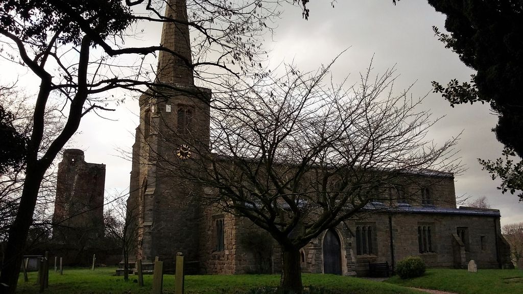
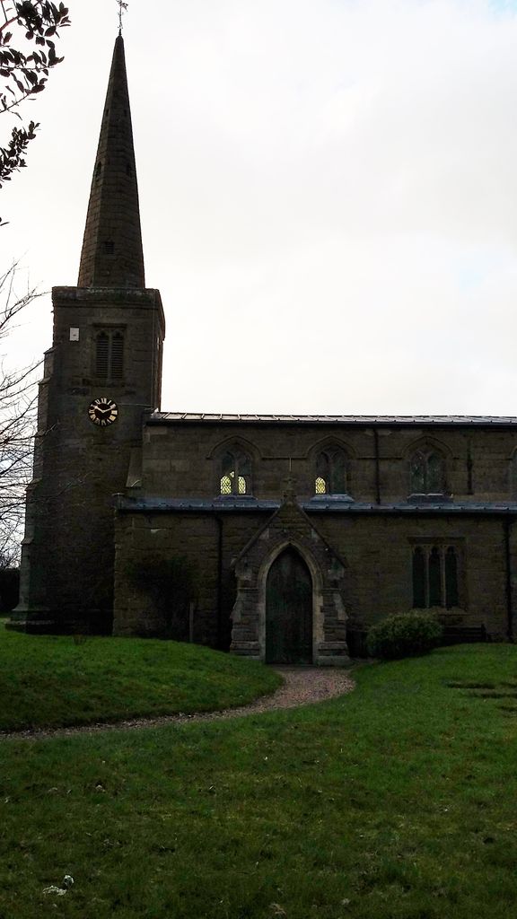
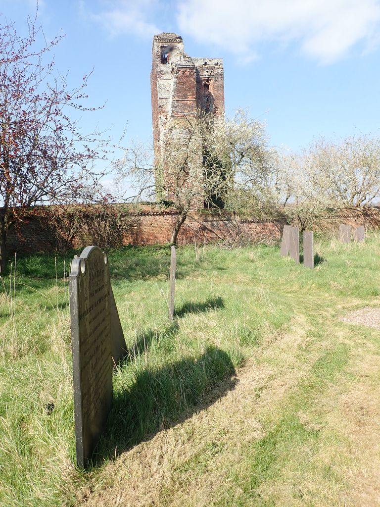
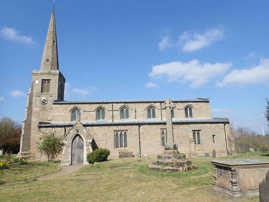
| Location | : | Hamstall Ridware, Lichfield District, England |
| Coordinate | : | 52.7716100, -1.8447300 |
frequently asked questions (FAQ):
-
Where is St. Michael & All Angels Churchyard?
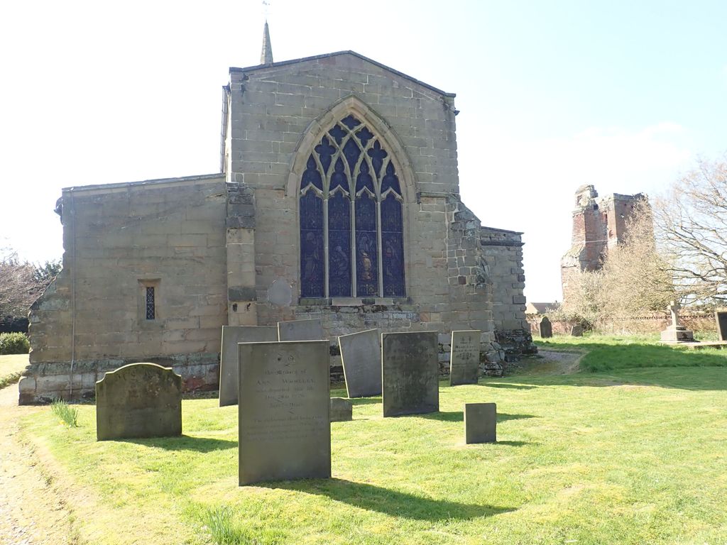
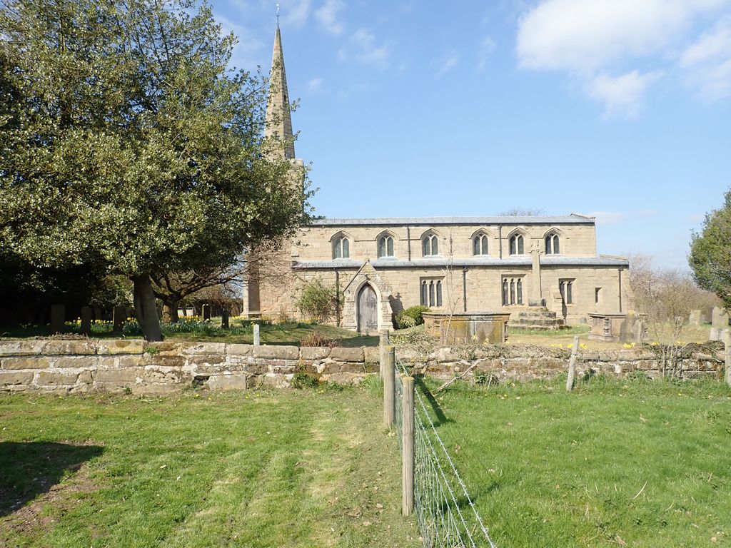
St. Michael & All Angels Churchyard is located at off Blithbury Road, Hamstall Ridware, Staffordshire Hamstall Ridware, Lichfield District ,Staffordshire , DE13 7HPEngland.
-
St. Michael & All Angels Churchyard cemetery's updated grave count on graveviews.com?
1 memorials
-
Where are the coordinates of the St. Michael & All Angels Churchyard?
Latitude: 52.7716100
Longitude: -1.8447300

Nearby Cemetories:
1. St. Peter's Churchyard
Yoxall, East Staffordshire Borough, England
Coordinate: 52.7687960, -1.7915250
2. Catholic Church of Saint Francis of Sales
Yoxall, East Staffordshire Borough, England
Coordinate: 52.7844140, -1.7909000
3. St John the Baptist Churchyard
Armitage with Handsacre, Lichfield District, England
Coordinate: 52.7458638, -1.8851159
4. The Holy Angels Churchyard
Hoar Cross, East Staffordshire Borough, England
Coordinate: 52.8047974, -1.8161691
5. Hawkesyard Priory
Rugeley, Cannock Chase District, England
Coordinate: 52.7439175, -1.9032955
6. St. James the Great Churchyard
Longdon, Lichfield District, England
Coordinate: 52.7250710, -1.8800360
7. St. Nicholas Churchyard
Abbots Bromley, East Staffordshire Borough, England
Coordinate: 52.8184560, -1.8837460
8. Newchurch, Christchurch-in-Needwood
Hoar Cross, East Staffordshire Borough, England
Coordinate: 52.8083859, -1.7811304
9. St. Michael's Churchyard
Brereton, Cannock Chase District, England
Coordinate: 52.7451169, -1.9228718
10. St. Augustine's Churchyard
Rugeley, Cannock Chase District, England
Coordinate: 52.7644253, -1.9345868
11. The Old Chancel
Rugeley, Cannock Chase District, England
Coordinate: 52.7648400, -1.9355010
12. Rugeley Cemetery
Rugeley, Cannock Chase District, England
Coordinate: 52.7650720, -1.9370440
13. All Saints Churchyard
Newborough, East Staffordshire Borough, England
Coordinate: 52.8259013, -1.8003185
14. All Saints Churchyard
Alrewas, Lichfield District, England
Coordinate: 52.7347941, -1.7530332
15. Stile Cop Cemetery
Rugeley, Cannock Chase District, England
Coordinate: 52.7423710, -1.9448220
16. St Leonard's Church
Wychnor, East Staffordshire Borough, England
Coordinate: 52.7420071, -1.7394617
17. Saint Stephen Churchyard
Fradley, Lichfield District, England
Coordinate: 52.7183456, -1.7686180
18. Stychbrook Cemetery
Lichfield District, England
Coordinate: 52.6998096, -1.8347392
19. St. Mary's Churchyard, Dunstall
Tatenhill, East Staffordshire Borough, England
Coordinate: 52.7809957, -1.7236464
20. St. James' Churchyard
Barton-under-Needwood, East Staffordshire Borough, England
Coordinate: 52.7641321, -1.7228176
21. All Saints Churchyard
Rangemore, East Staffordshire Borough, England
Coordinate: 52.8040800, -1.7337000
22. National Memorial Arboretum
Alrewas, Lichfield District, England
Coordinate: 52.7274040, -1.7324890
23. Christ Church Gentleshaw
Rugeley, Cannock Chase District, England
Coordinate: 52.7050151, -1.9264458
24. St Chad Churchyard
Lichfield, Lichfield District, England
Coordinate: 52.6895810, -1.8209640