| Memorials | : | 2 |
| Location | : | Rugeley, Cannock Chase District, England |
| Coordinate | : | 52.7644253, -1.9345868 |
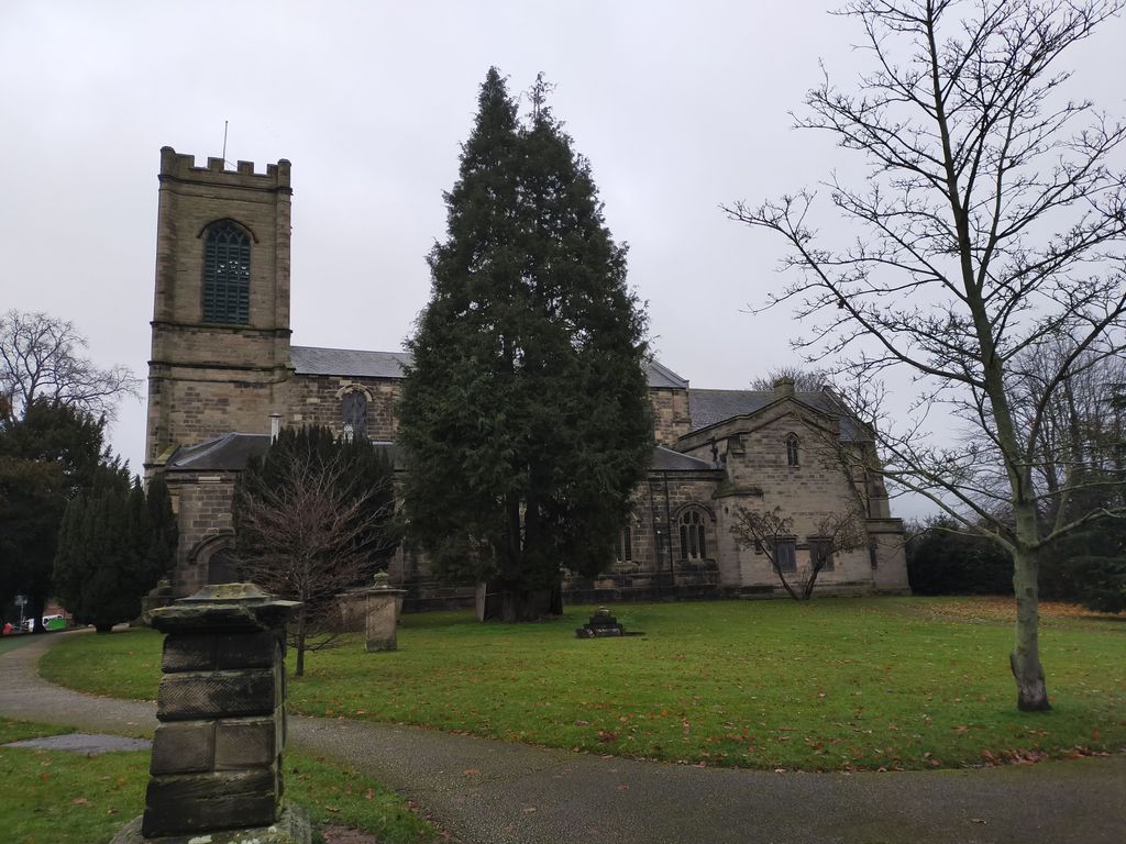
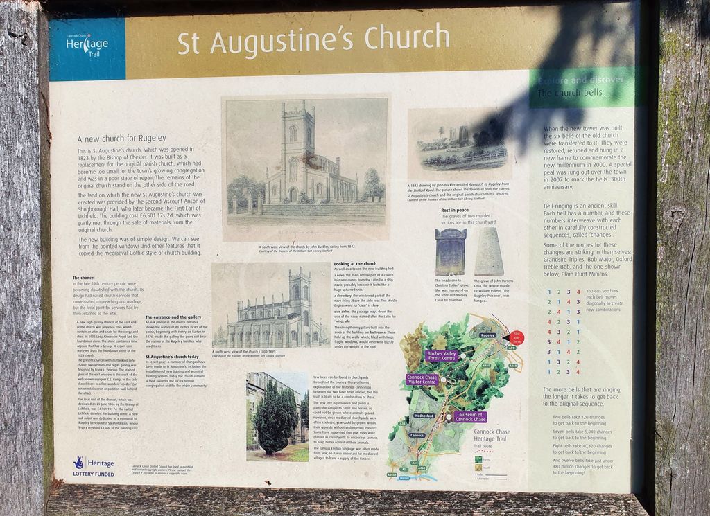
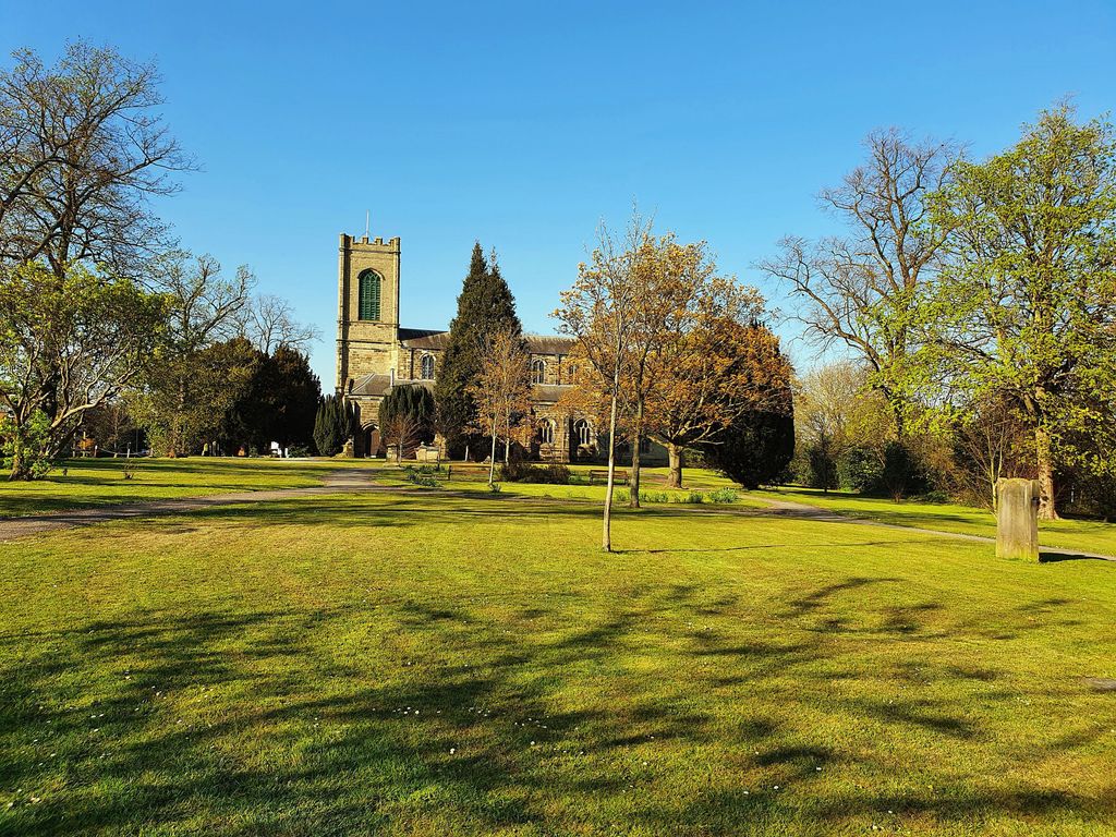
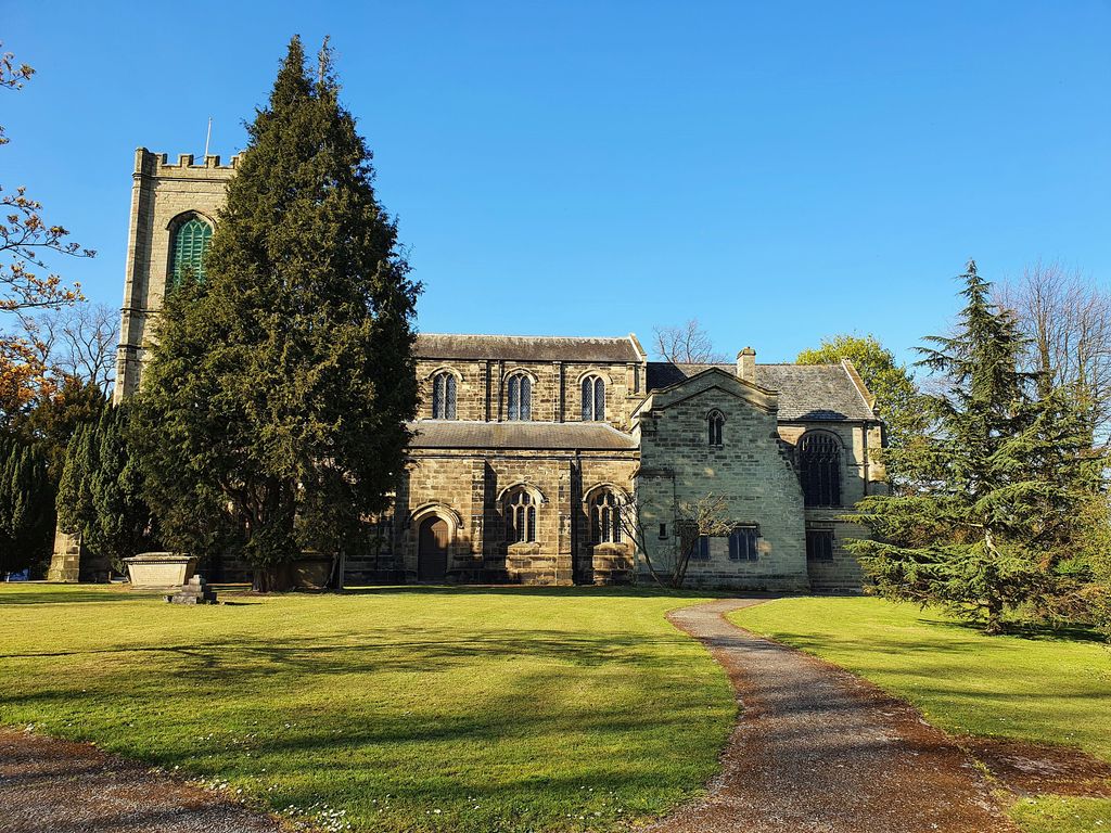
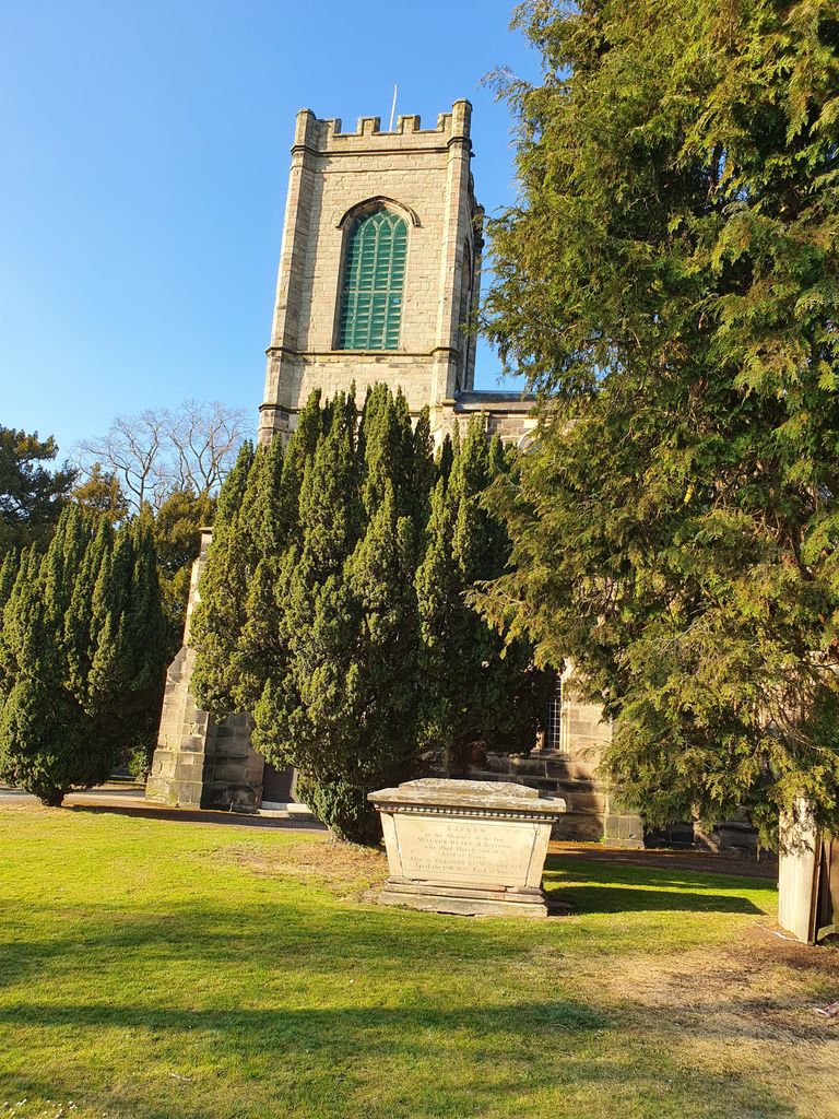
| Description | : | St Augustine's Church has been at the heart of the community of Rugeley for many centuries. It is named after St Augustine of Canterbury. Parts of the original church (now known as 'The Old Chancel') were built in the 12th century, with the old tower being added in the 14th century. The current building was consecrated in January 1823, by the Bishop of Chester. It was built as a replacement for the original parish church, which had become too small for the town’s growing congregation and was in a poor state of repair. The remains of the original church... Read More |
frequently asked questions (FAQ):
-
Where is St. Augustine's Churchyard?
St. Augustine's Churchyard is located at Station Road Rugeley, Cannock Chase District ,Staffordshire , WS15 2HGEngland.
-
St. Augustine's Churchyard cemetery's updated grave count on graveviews.com?
2 memorials
-
Where are the coordinates of the St. Augustine's Churchyard?
Latitude: 52.7644253
Longitude: -1.9345868
Nearby Cemetories:
1. The Old Chancel
Rugeley, Cannock Chase District, England
Coordinate: 52.7648400, -1.9355010
2. Rugeley Cemetery
Rugeley, Cannock Chase District, England
Coordinate: 52.7650720, -1.9370440
3. St. Michael's Churchyard
Brereton, Cannock Chase District, England
Coordinate: 52.7451169, -1.9228718
4. Stile Cop Cemetery
Rugeley, Cannock Chase District, England
Coordinate: 52.7423710, -1.9448220
5. Hawkesyard Priory
Rugeley, Cannock Chase District, England
Coordinate: 52.7439175, -1.9032955
6. St John the Baptist Churchyard
Armitage with Handsacre, Lichfield District, England
Coordinate: 52.7458638, -1.8851159
7. St. Michael and All Angels Church
Colwich, Stafford Borough, England
Coordinate: 52.7876070, -1.9853500
8. Saint Mary's Abbey
Colwich, Stafford Borough, England
Coordinate: 52.7900000, -1.9895000
9. St. James the Great Churchyard
Longdon, Lichfield District, England
Coordinate: 52.7250710, -1.8800360
10. St. Michael & All Angels Churchyard
Hamstall Ridware, Lichfield District, England
Coordinate: 52.7716100, -1.8447300
11. St Stephen Churchyard
Great Haywood, Stafford Borough, England
Coordinate: 52.8004360, -2.0049890
12. Christ Church Gentleshaw
Rugeley, Cannock Chase District, England
Coordinate: 52.7050151, -1.9264458
13. Cannock Chase German Military Cemetery
Cannock, Cannock Chase District, England
Coordinate: 52.7370580, -2.0265050
14. Cannock Chase War Cemetery
Cannock, Cannock Chase District, England
Coordinate: 52.7370710, -2.0266340
15. St. Nicholas Churchyard
Abbots Bromley, East Staffordshire Borough, England
Coordinate: 52.8184560, -1.8837460
16. St. Peter's Churchyard
Hednesford, Cannock Chase District, England
Coordinate: 52.7050630, -1.9918330
17. Our Lady of Lourdes Churchyard
Hednesford, Cannock Chase District, England
Coordinate: 52.7051311, -1.9969935
18. St John's Church Cemetery
Burntwood, Lichfield District, England
Coordinate: 52.6901000, -1.9349300
19. St. Peter's Churchyard
Hixon, Stafford Borough, England
Coordinate: 52.8273830, -2.0004581
20. St John Churchyard
Heath Hayes, Cannock Chase District, England
Coordinate: 52.6914160, -1.9846280
21. The Holy Angels Churchyard
Hoar Cross, East Staffordshire Borough, England
Coordinate: 52.8047974, -1.8161691
22. St Mary The Virgin Churchyard
Ingestre, Stafford Borough, England
Coordinate: 52.8196420, -2.0361510
23. Chase and District Memorial Park
Burntwood, Lichfield District, England
Coordinate: 52.6817140, -1.9339150
24. Cannock Cemetery
Cannock, Cannock Chase District, England
Coordinate: 52.7008790, -2.0288950

