
| Memorials | : | 3 |
| Location | : | Rugeley, Cannock Chase District, England |
| Coordinate | : | 52.7648400, -1.9355010 |
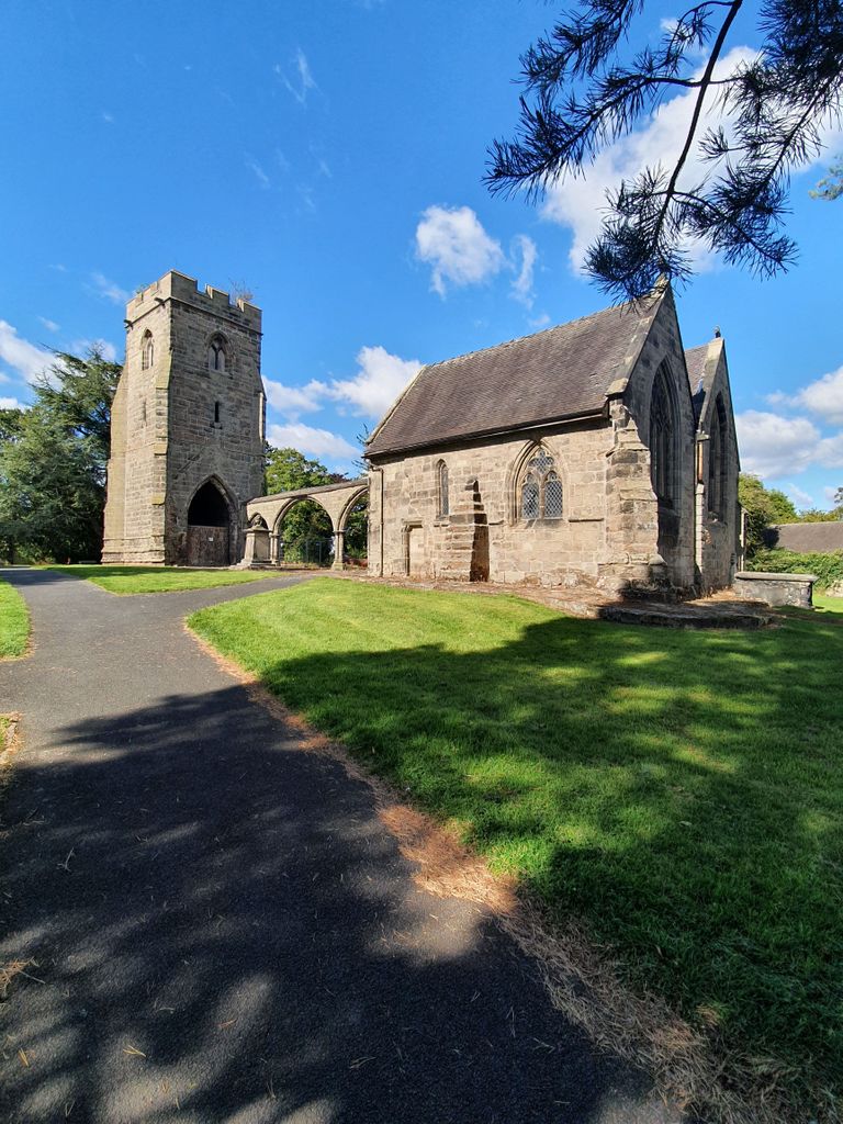
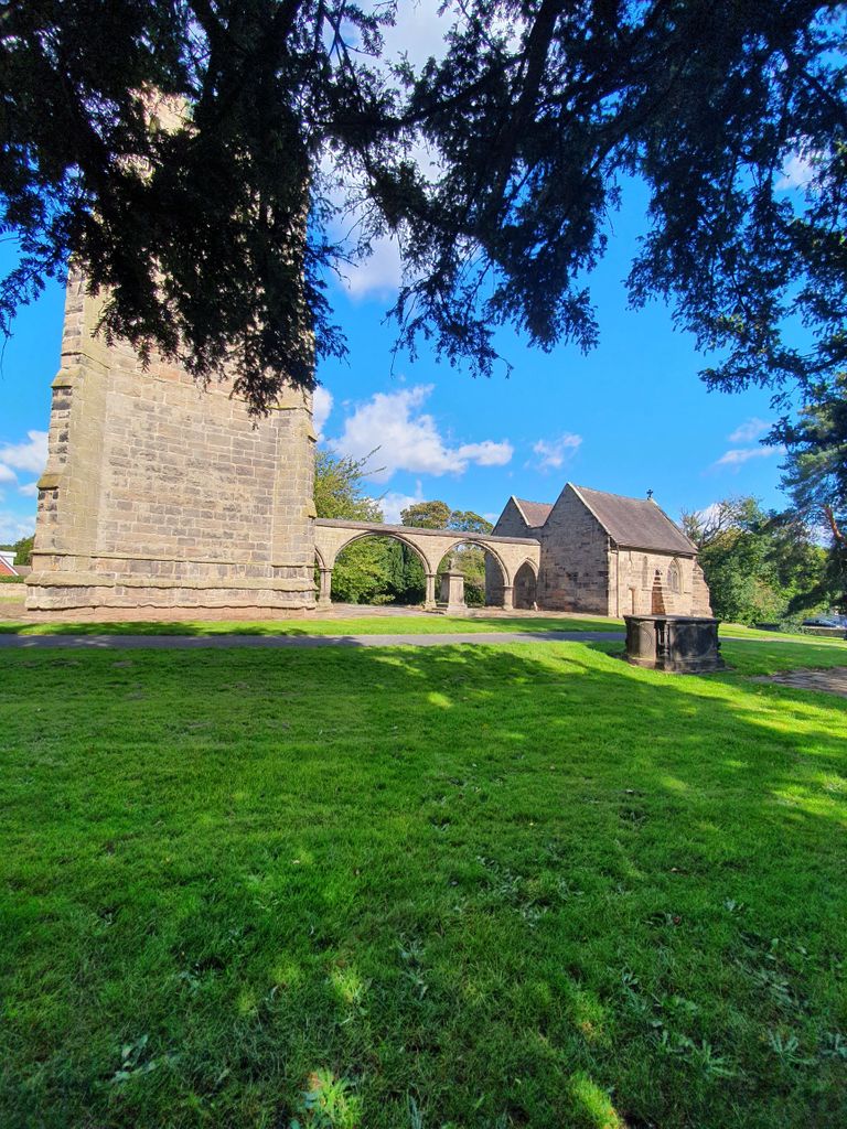
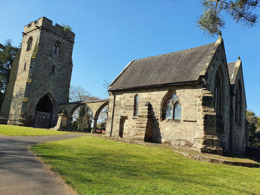
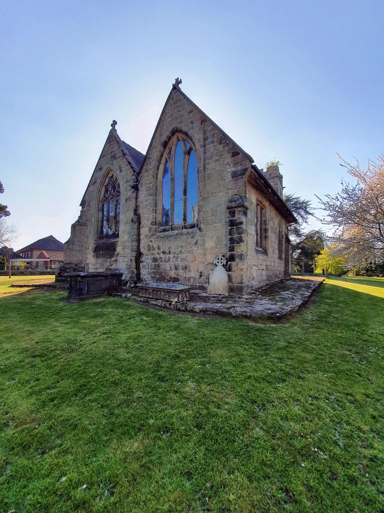
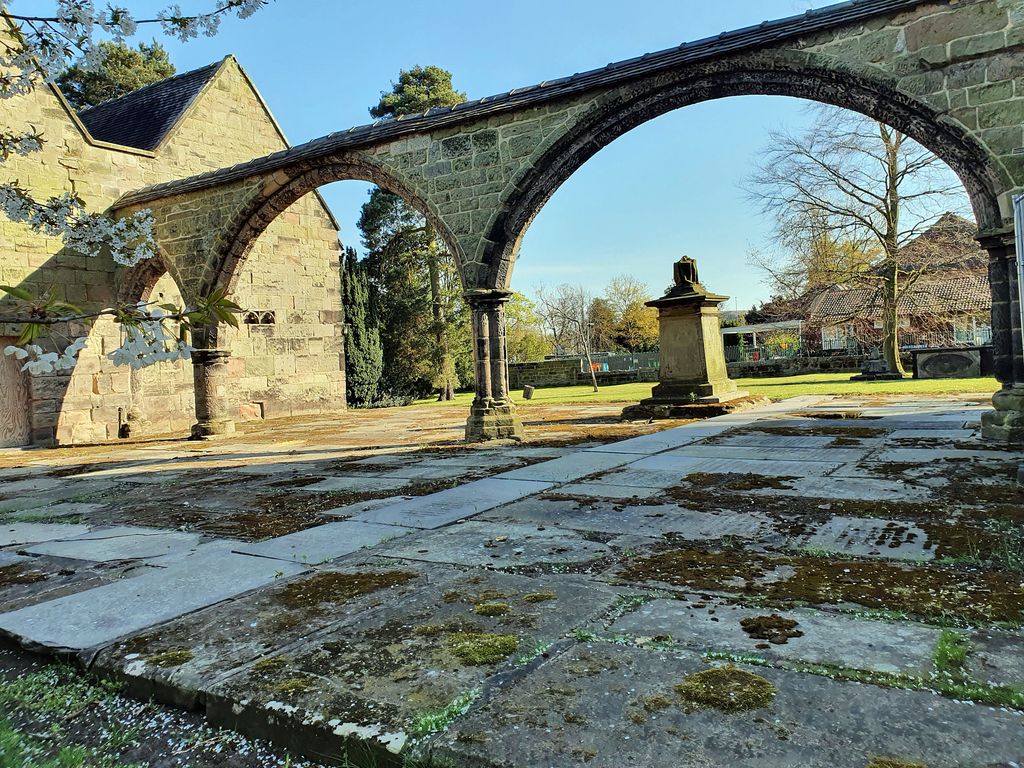
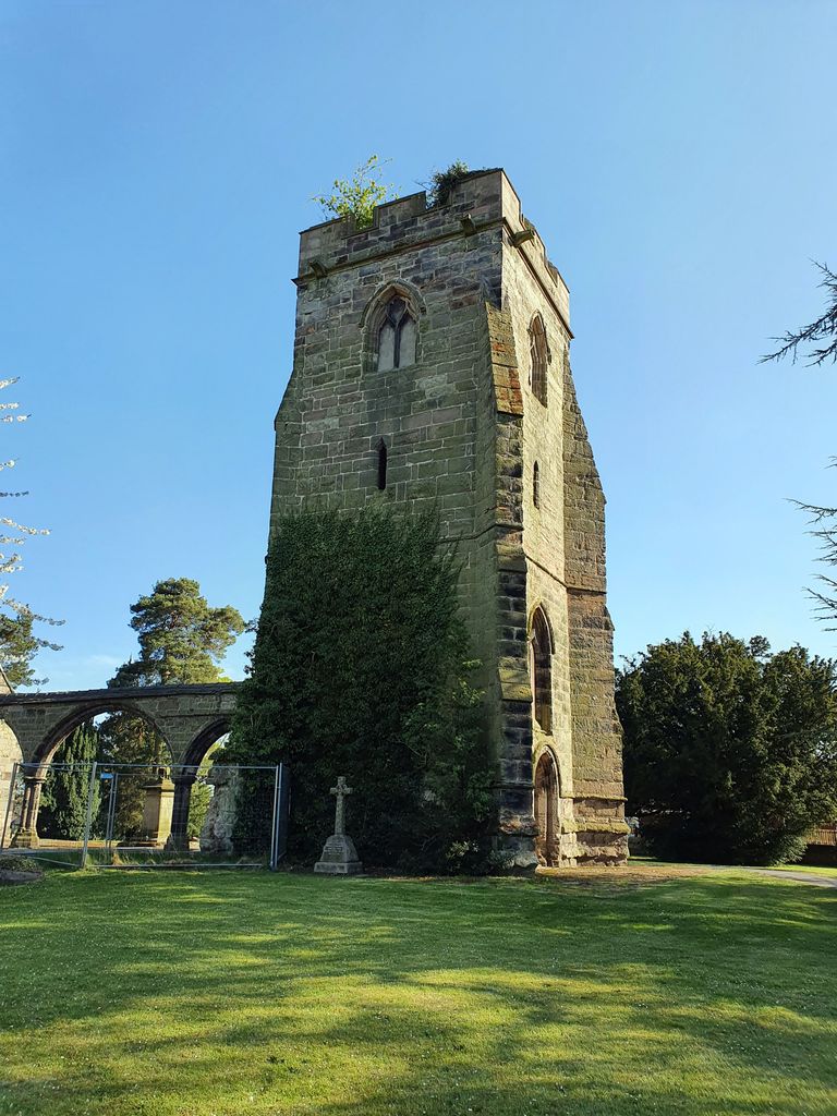
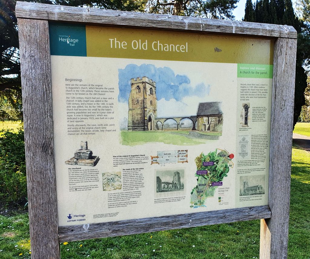
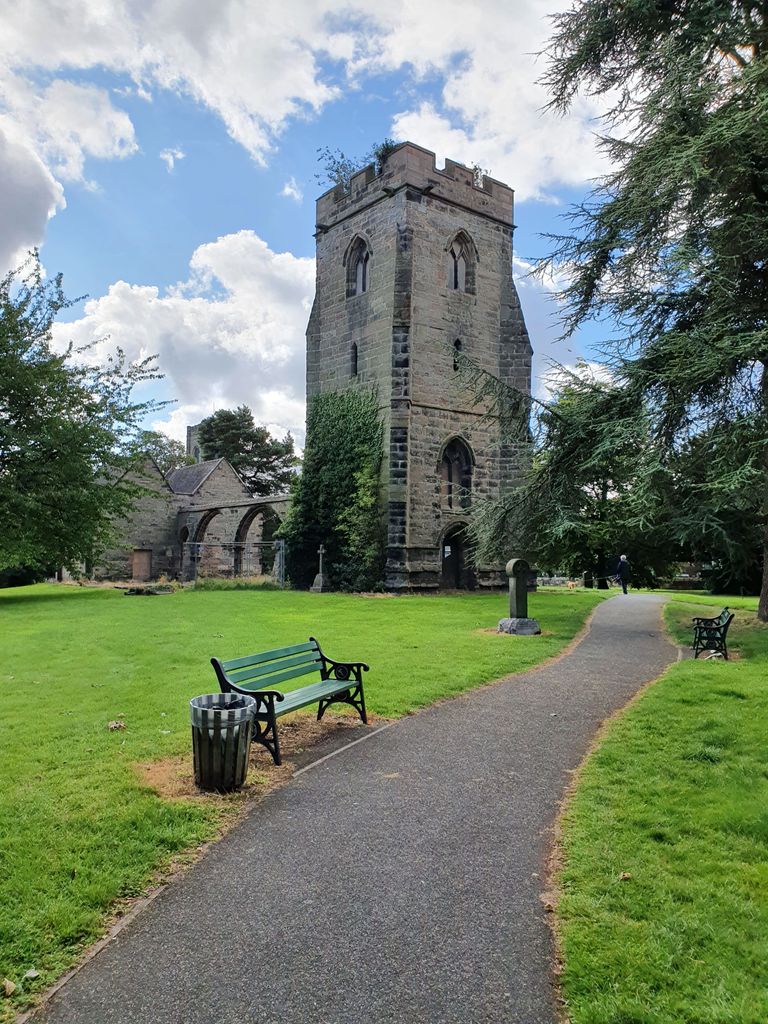
| Description | : | Originally Saint Augustine the church and old cemetery are known as the Old Chancel. |
frequently asked questions (FAQ):
-
Where is The Old Chancel?
The Old Chancel is located at Station Road Rugeley, Cannock Chase District ,Staffordshire , WS15 2HGEngland.
-
The Old Chancel cemetery's updated grave count on graveviews.com?
3 memorials
-
Where are the coordinates of the The Old Chancel?
Latitude: 52.7648400
Longitude: -1.9355010
Nearby Cemetories:
1. St. Augustine's Churchyard
Rugeley, Cannock Chase District, England
Coordinate: 52.7644253, -1.9345868
2. Rugeley Cemetery
Rugeley, Cannock Chase District, England
Coordinate: 52.7650720, -1.9370440
3. St. Michael's Churchyard
Brereton, Cannock Chase District, England
Coordinate: 52.7451169, -1.9228718
4. Stile Cop Cemetery
Rugeley, Cannock Chase District, England
Coordinate: 52.7423710, -1.9448220
5. Hawkesyard Priory
Rugeley, Cannock Chase District, England
Coordinate: 52.7439175, -1.9032955
6. St John the Baptist Churchyard
Armitage with Handsacre, Lichfield District, England
Coordinate: 52.7458638, -1.8851159
7. St. Michael and All Angels Church
Colwich, Stafford Borough, England
Coordinate: 52.7876070, -1.9853500
8. Saint Mary's Abbey
Colwich, Stafford Borough, England
Coordinate: 52.7900000, -1.9895000
9. St. James the Great Churchyard
Longdon, Lichfield District, England
Coordinate: 52.7250710, -1.8800360
10. St Stephen Churchyard
Great Haywood, Stafford Borough, England
Coordinate: 52.8004360, -2.0049890
11. St. Michael & All Angels Churchyard
Hamstall Ridware, Lichfield District, England
Coordinate: 52.7716100, -1.8447300
12. Christ Church Gentleshaw
Rugeley, Cannock Chase District, England
Coordinate: 52.7050151, -1.9264458
13. Cannock Chase German Military Cemetery
Cannock, Cannock Chase District, England
Coordinate: 52.7370580, -2.0265050
14. Cannock Chase War Cemetery
Cannock, Cannock Chase District, England
Coordinate: 52.7370710, -2.0266340
15. St. Nicholas Churchyard
Abbots Bromley, East Staffordshire Borough, England
Coordinate: 52.8184560, -1.8837460
16. St. Peter's Churchyard
Hednesford, Cannock Chase District, England
Coordinate: 52.7050630, -1.9918330
17. Our Lady of Lourdes Churchyard
Hednesford, Cannock Chase District, England
Coordinate: 52.7051311, -1.9969935
18. St. Peter's Churchyard
Hixon, Stafford Borough, England
Coordinate: 52.8273830, -2.0004581
19. St John's Church Cemetery
Burntwood, Lichfield District, England
Coordinate: 52.6901000, -1.9349300
20. St John Churchyard
Heath Hayes, Cannock Chase District, England
Coordinate: 52.6914160, -1.9846280
21. St Mary The Virgin Churchyard
Ingestre, Stafford Borough, England
Coordinate: 52.8196420, -2.0361510
22. The Holy Angels Churchyard
Hoar Cross, East Staffordshire Borough, England
Coordinate: 52.8047974, -1.8161691
23. Chase and District Memorial Park
Burntwood, Lichfield District, England
Coordinate: 52.6817140, -1.9339150
24. Cannock Cemetery
Cannock, Cannock Chase District, England
Coordinate: 52.7008790, -2.0288950