
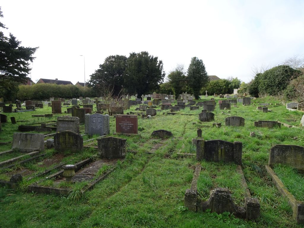
| Memorials | : | 0 |
| Location | : | Lancing, Adur District, England |
| Coordinate | : | 50.8367330, -0.3239250 |
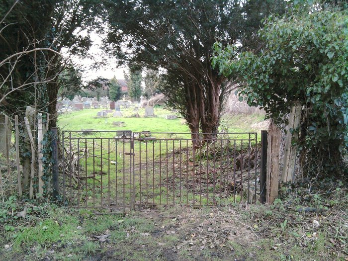
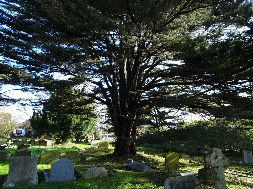
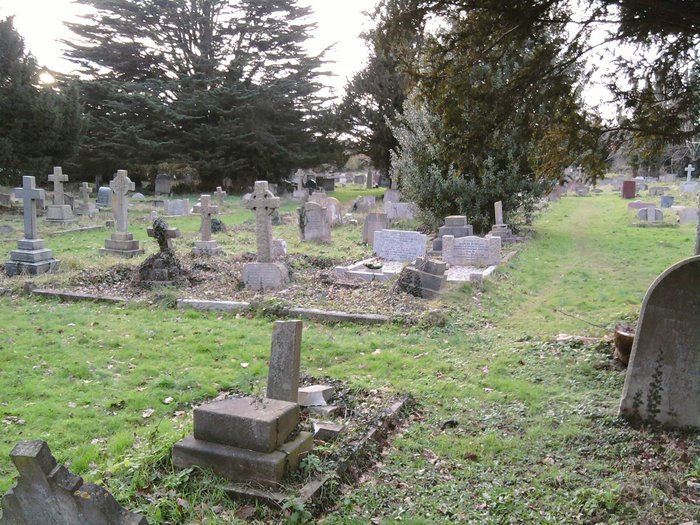
| Description | : | The Cemetery is north of the A27 on Upper West Lane which is a un tarmaced track that leads up to St James the Less Church. |
frequently asked questions (FAQ):
-
Where is St James the Less Churchyard Extension?
St James the Less Churchyard Extension is located at Upper West Lane Lancing, Adur District ,West Sussex ,England.
-
St James the Less Churchyard Extension cemetery's updated grave count on graveviews.com?
0 memorials
-
Where are the coordinates of the St James the Less Churchyard Extension?
Latitude: 50.8367330
Longitude: -0.3239250
Nearby Cemetories:
1. St. James the Less Churchyard
Lancing, Adur District, England
Coordinate: 50.8378170, -0.3226110
2. Lancing and Sompting Cemetery
Lancing, Adur District, England
Coordinate: 50.8405270, -0.3280020
3. Landing College Chapel
Lancing, Adur District, England
Coordinate: 50.8459798, -0.3042240
4. St. Mary's Churchyard
Sompting, Adur District, England
Coordinate: 50.8386030, -0.3518740
5. St. Nicolas' Churchyard
Old Shoreham, Adur District, England
Coordinate: 50.8407940, -0.2856690
6. The Catholic Church of Saint Charles Borromeo
Worthing Borough, England
Coordinate: 50.8206203, -0.3544798
7. Coombes Churchyard
Coombes, Adur District, England
Coordinate: 50.8611730, -0.3082180
8. Mill Lane Cemetery
Shoreham-by-Sea, Adur District, England
Coordinate: 50.8378990, -0.2783270
9. St Marys Churchyard
Broadwater, Worthing Borough, England
Coordinate: 50.8277750, -0.3734920
10. Botolph Cemetery
Steyning, Horsham District, England
Coordinate: 50.8698470, -0.3051070
11. St Botolph's
Boto By, Guldborgsund Kommune, Denmark
Coordinate: 50.8704488, -0.3049848
12. Broadwater Cemetery
Worthing, Worthing Borough, England
Coordinate: 50.8277650, -0.3799460
13. Christ Church Churchyard
Worthing, Worthing Borough, England
Coordinate: 50.8131570, -0.3739420
14. St Andrew the Apostle Churchyard
Worthing, Worthing Borough, England
Coordinate: 50.8153000, -0.3774100
15. St Mary of the Angels RC Church
Worthing, Worthing Borough, England
Coordinate: 50.8133800, -0.3774000
16. St Matthew Churchyard
Worthing, Worthing Borough, England
Coordinate: 50.8178900, -0.3830100
17. Holy Trinity Churchyard
Worthing, Worthing Borough, England
Coordinate: 50.8112700, -0.3785000
18. Durrington Cemetery
Durrington, Worthing Borough, England
Coordinate: 50.8390820, -0.3934460
19. St Nicholas Churchyard
Bramber, Horsham District, England
Coordinate: 50.8828660, -0.3153580
20. St Andrew Churchyard
Tarring, Worthing Borough, England
Coordinate: 50.8247000, -0.3956000
21. Heene Cemetery
Worthing, Worthing Borough, England
Coordinate: 50.8121180, -0.3881260
22. St. Julian's Churchyard
Shoreham-by-Sea, Adur District, England
Coordinate: 50.8340600, -0.2465500
23. St Peter Churchyard
Upper Beeding, Horsham District, England
Coordinate: 50.8873530, -0.3056540
24. St. Michael & All Angels Churchyard
Southwick, Adur District, England
Coordinate: 50.8348240, -0.2411970