
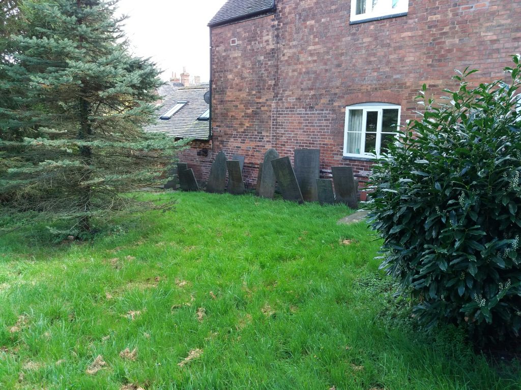
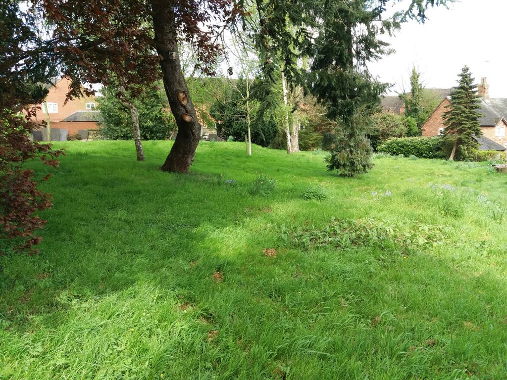
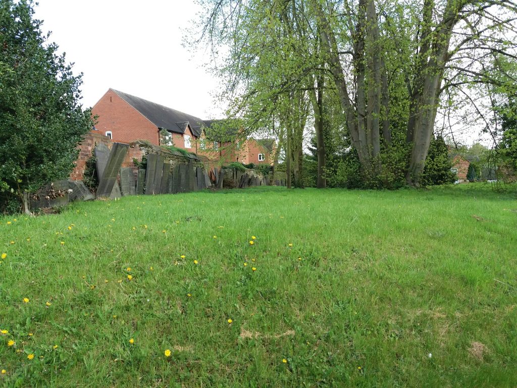
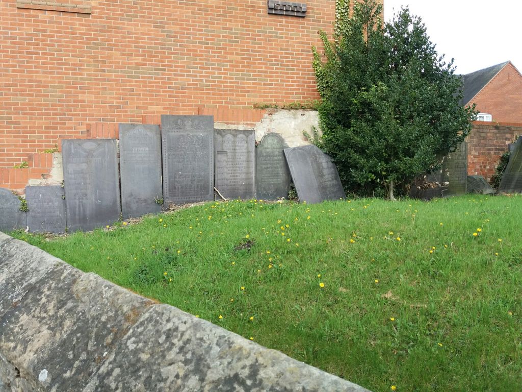
| Memorials | : | 0 |
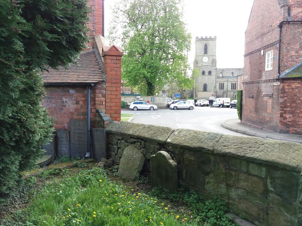
| Location | : | Melbourne, South Derbyshire District, England |
| Coordinate | : | 52.8221000, -1.4240900 |
frequently asked questions (FAQ):
-
Where is St Michael & St Mary Old Churchyard?
St Michael & St Mary Old Churchyard is located at Castle Street Melbourne, South Derbyshire District ,Derbyshire , DE73England.
-
St Michael & St Mary Old Churchyard cemetery's updated grave count on graveviews.com?
0 memorials
-
Where are the coordinates of the St Michael & St Mary Old Churchyard?
Latitude: 52.8221000
Longitude: -1.4240900
Nearby Cemetories:
1. St Michael with St Mary Church
Melbourne, South Derbyshire District, England
Coordinate: 52.8210800, -1.4242900
2. Melbourne Cemetery
Melbourne, South Derbyshire District, England
Coordinate: 52.8291310, -1.4271470
3. Breedon Priory
Breedon on the Hill, North West Leicestershire District, England
Coordinate: 52.8060120, -1.3999600
4. St Mary the Virgin Churchyard
Weston on Trent, South Derbyshire District, England
Coordinate: 52.8444900, -1.4105600
5. All Saints Churchyard
Isley Walton, North West Leicestershire District, England
Coordinate: 52.8211576, -1.3710891
6. St. James' Churchyard
Swarkestone, South Derbyshire District, England
Coordinate: 52.8535560, -1.4490940
7. St. George's Churchyard
Ticknall, South Derbyshire District, England
Coordinate: 52.8133780, -1.4801570
8. Holy Trinity Churchyard
Staunton Harold, North West Leicestershire District, England
Coordinate: 52.7841040, -1.4381631
9. Staunton Harold Churchyard
Ashby-de-la-Zouch, North West Leicestershire District, England
Coordinate: 52.7840510, -1.4381150
10. St Wilfrid Churchyard
Barrow upon Trent, South Derbyshire District, England
Coordinate: 52.8517910, -1.4773020
11. All Saints Churchyard
Aston on Trent, South Derbyshire District, England
Coordinate: 52.8606040, -1.3866670
12. Barrow Upon Trent Cemetery
Barrow upon Trent, South Derbyshire District, England
Coordinate: 52.8532164, -1.4788765
13. St. Peter's Churchyard
Chellaston, Derby Unitary Authority, England
Coordinate: 52.8694725, -1.4350250
14. Moor Lane
Aston on Trent, South Derbyshire District, England
Coordinate: 52.8651600, -1.3826900
15. St. Edward King & Martyr Churchyard
Castle Donington, North West Leicestershire District, England
Coordinate: 52.8417000, -1.3383000
16. St Michael & All Angels Churchyard
Long Whatton, North West Leicestershire District, England
Coordinate: 52.8164170, -1.3282730
17. Quaker Burial Ground
Castle Donington, North West Leicestershire District, England
Coordinate: 52.8435100, -1.3328900
18. Castle Donington Cemetery
Castle Donington, North West Leicestershire District, England
Coordinate: 52.8431520, -1.3307570
19. Methodist Church Churchyard
Griffydam, North West Leicestershire District, England
Coordinate: 52.7629060, -1.3894370
20. St Mary the Blessed Virgin Church
Osgathorpe, North West Leicestershire District, England
Coordinate: 52.7715890, -1.3623270
21. St James Churchyard
Shardlow, South Derbyshire District, England
Coordinate: 52.8686280, -1.3508150
22. St John Churchyard
Belton, North West Leicestershire District, England
Coordinate: 52.7830810, -1.3374590
23. St Peter's Church
Hartshorne, South Derbyshire District, England
Coordinate: 52.7840400, -1.5162100
24. St. Mary's Churchyard
Coleorton, North West Leicestershire District, England
Coordinate: 52.7513600, -1.4224500