
| Memorials | : | 1 |
| Location | : | Sunninghill, Windsor and Maidenhead Royal Borough, England |
| Coordinate | : | 51.4000090, -0.6570340 |
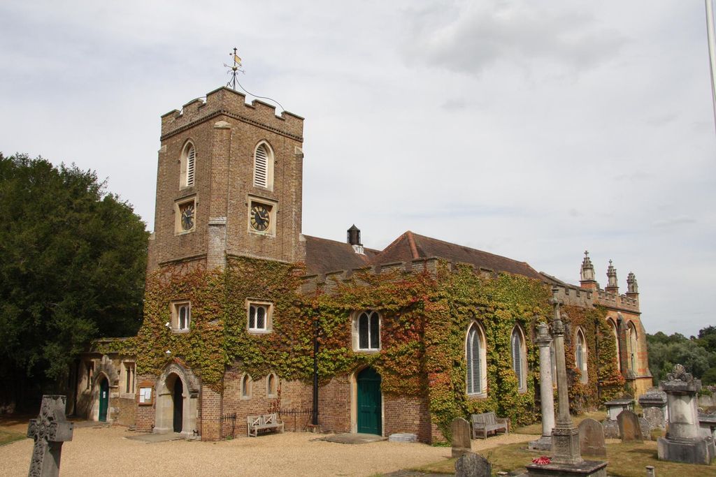
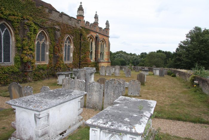
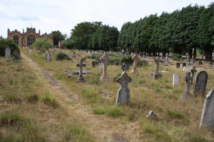
| Description | : | St. Michael & All Angels is situated in a quiet cul de sac just north of the sunninghill roundabout on the A329. Sunninghill,originally an ancient saxon settlement in Windsor Forest Occupied By a Saxon Tribe The Sunnings.The surrounding Parishes were carved out of Sunninghill in the 19th century.The present day Church is the third on the site.The first a Saxon church is thought to be have founded about 890 A.D.The Church was rebuilt in 1120 and became the centre of the Norman community it was used for 700 years until after several unsuccesful extensions the church was demolished in 1827, all... Read More |
frequently asked questions (FAQ):
-
Where is St Michael and All Angels Churchyard?
St Michael and All Angels Churchyard is located at Church Lane Sunninghill, Windsor and Maidenhead Royal Borough ,Berkshire , SL5 7DDEngland.
-
St Michael and All Angels Churchyard cemetery's updated grave count on graveviews.com?
1 memorials
-
Where are the coordinates of the St Michael and All Angels Churchyard?
Latitude: 51.4000090
Longitude: -0.6570340
Nearby Cemetories:
1. All Souls Churchyard
South Ascot, Windsor and Maidenhead Royal Borough, England
Coordinate: 51.4035450, -0.6745890
2. Sunningdale Cemetery
Sunningdale, Windsor and Maidenhead Royal Borough, England
Coordinate: 51.4021820, -0.6322850
3. Holy Trinity Churchyard
Sunningdale, Windsor and Maidenhead Royal Borough, England
Coordinate: 51.3989170, -0.6304810
4. All Saints Churchyard
Ascot, Windsor and Maidenhead Royal Borough, England
Coordinate: 51.4114680, -0.6905550
5. Ascot Priory Cemetery
Ascot, Windsor and Maidenhead Royal Borough, England
Coordinate: 51.4135440, -0.7075955
6. Windlesham Cemetery
Windlesham, Surrey Heath Borough, England
Coordinate: 51.3654000, -0.6654900
7. Valley End St Saviour Churchyard
Chobham, Surrey Heath Borough, England
Coordinate: 51.3647100, -0.6317100
8. St. Peter's Churchyard
Bracknell Forest Borough, England
Coordinate: 51.4410326, -0.6682634
9. Christ Church Churchyard
Virginia Water, Runnymede Borough, England
Coordinate: 51.4073160, -0.5796440
10. Christ Church
Chertsey, Runnymede Borough, England
Coordinate: 51.3781700, -0.5831300
11. St Mary Churchyard
Winkfield, Bracknell Forest Borough, England
Coordinate: 51.4437200, -0.7003900
12. Larges Lane Cemetery
Bracknell, Bracknell Forest Borough, England
Coordinate: 51.4132470, -0.7416070
13. Holy Trinity Churchyard
West End, Surrey Heath Borough, England
Coordinate: 51.3434880, -0.6420670
14. Holy Trinity Churchyard
Bracknell, Bracknell Forest Borough, England
Coordinate: 51.4155450, -0.7466960
15. Englefield Green Cemetery
Englefield Green, Runnymede Borough, England
Coordinate: 51.4273640, -0.5730490
16. Congregational Church Churchyard
Bracknell, Bracknell Forest Borough, England
Coordinate: 51.4159820, -0.7488840
17. St Michael and St Mary Magdalene Churchyard
Easthampstead, Bracknell Forest Borough, England
Coordinate: 51.4015200, -0.7604300
18. St Michael the Archangel Churchyard
Warfield, Bracknell Forest Borough, England
Coordinate: 51.4424800, -0.7352400
19. Runnymede Memorial
Englefield Green, Runnymede Borough, England
Coordinate: 51.4378433, -0.5649990
20. Windsor Cemetery
Windsor, Windsor and Maidenhead Royal Borough, England
Coordinate: 51.4703170, -0.6231090
21. St. John the Baptist Churchyard
Bisley, Surrey Heath Borough, England
Coordinate: 51.3273600, -0.6266370
22. Easthampstead Park Cemetery and Crematorium
Easthampstead, Bracknell Forest Borough, England
Coordinate: 51.3910490, -0.7793910
23. St. John the Baptist Churchyard
Egham, Runnymede Borough, England
Coordinate: 51.4327120, -0.5443380
24. Church Road Cemetery
Old Windsor, Windsor and Maidenhead Royal Borough, England
Coordinate: 51.4622500, -0.5805900