
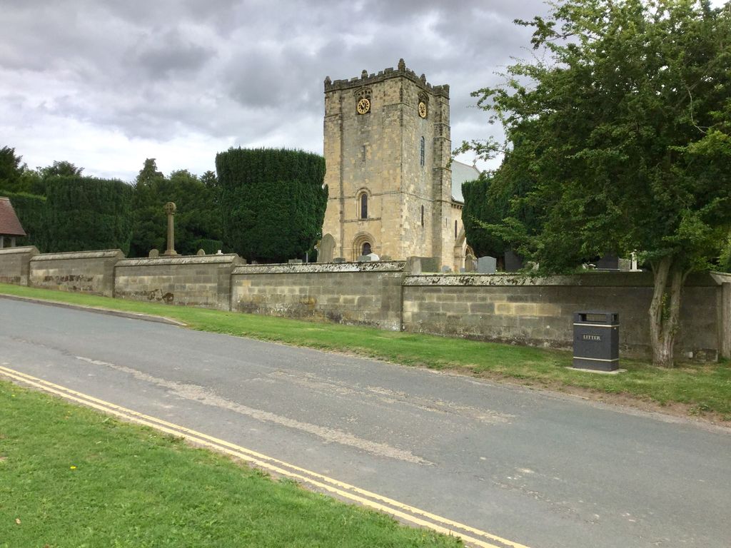
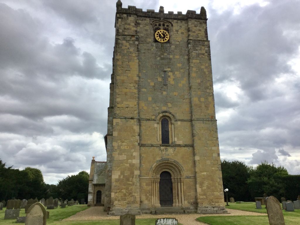
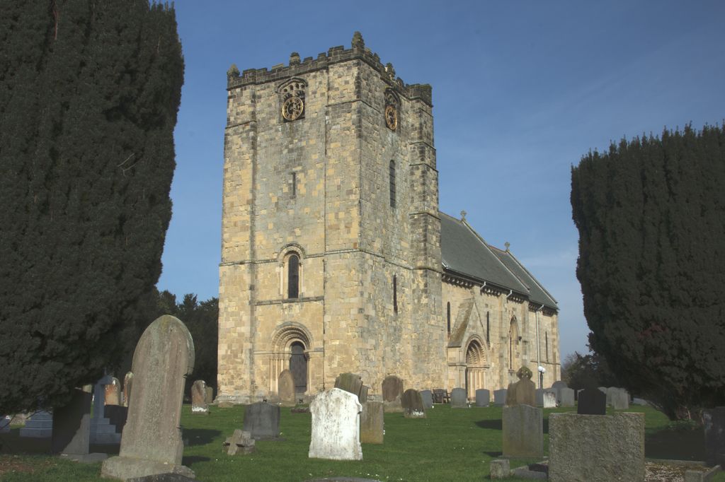
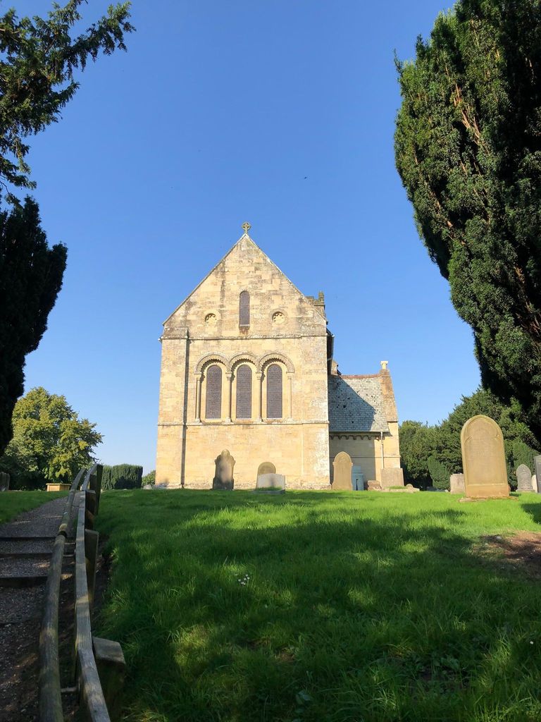
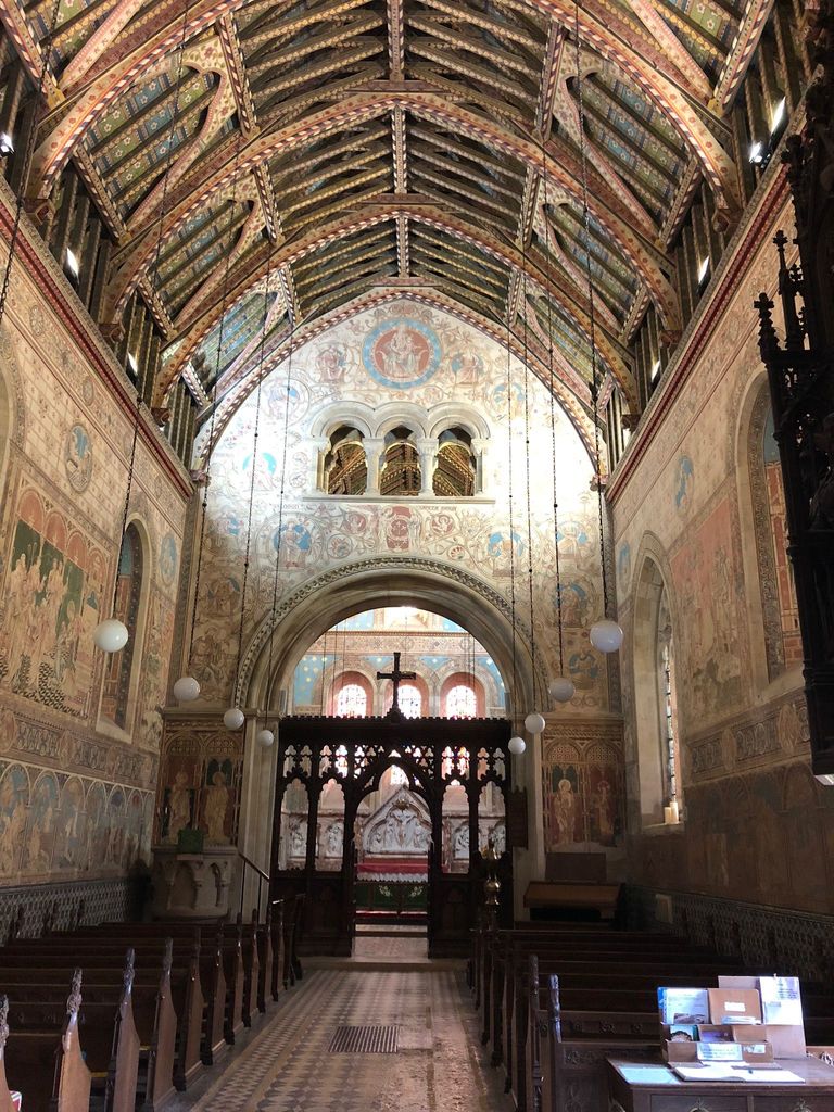
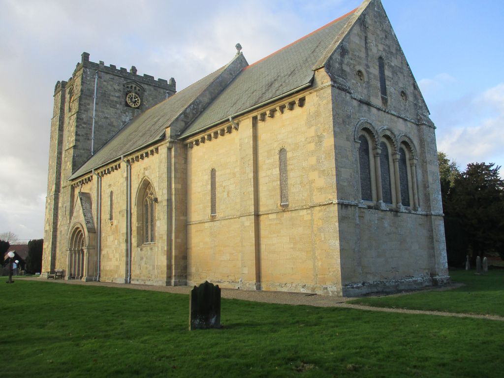
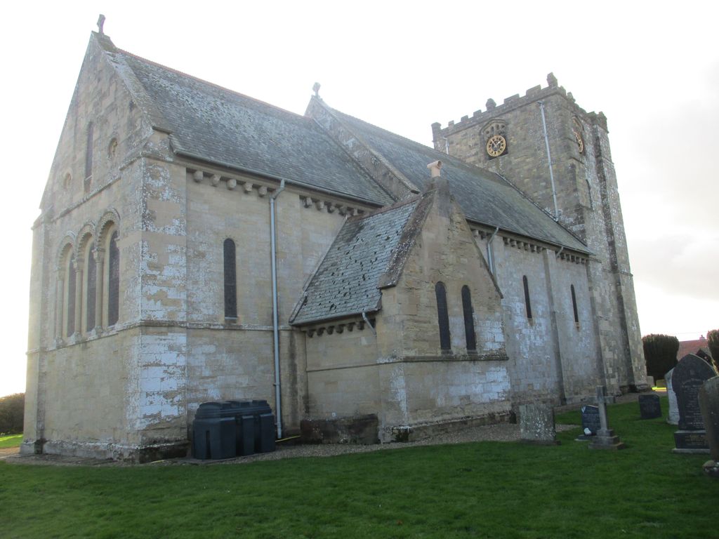
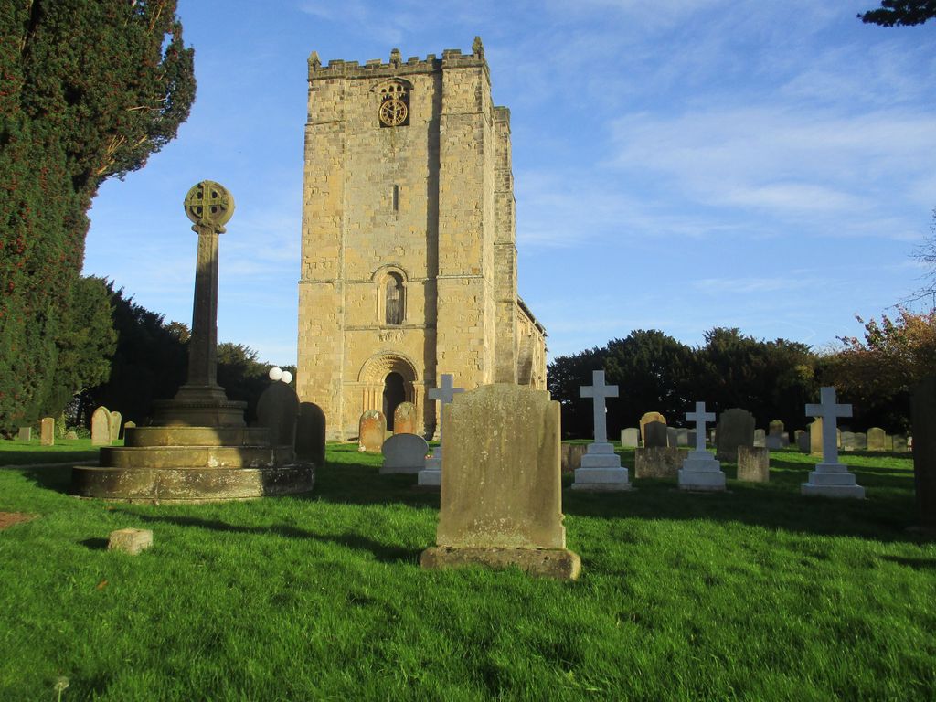
| Memorials | : | 0 |
| Location | : | Garton-on-the-Wolds, East Riding of Yorkshire Unitary Authority, England |
| Coordinate | : | 54.0204960, -0.5030440 |
frequently asked questions (FAQ):
-
Where is St. Michael and All Angels Churchyard?
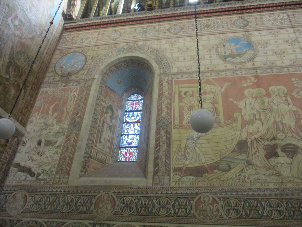
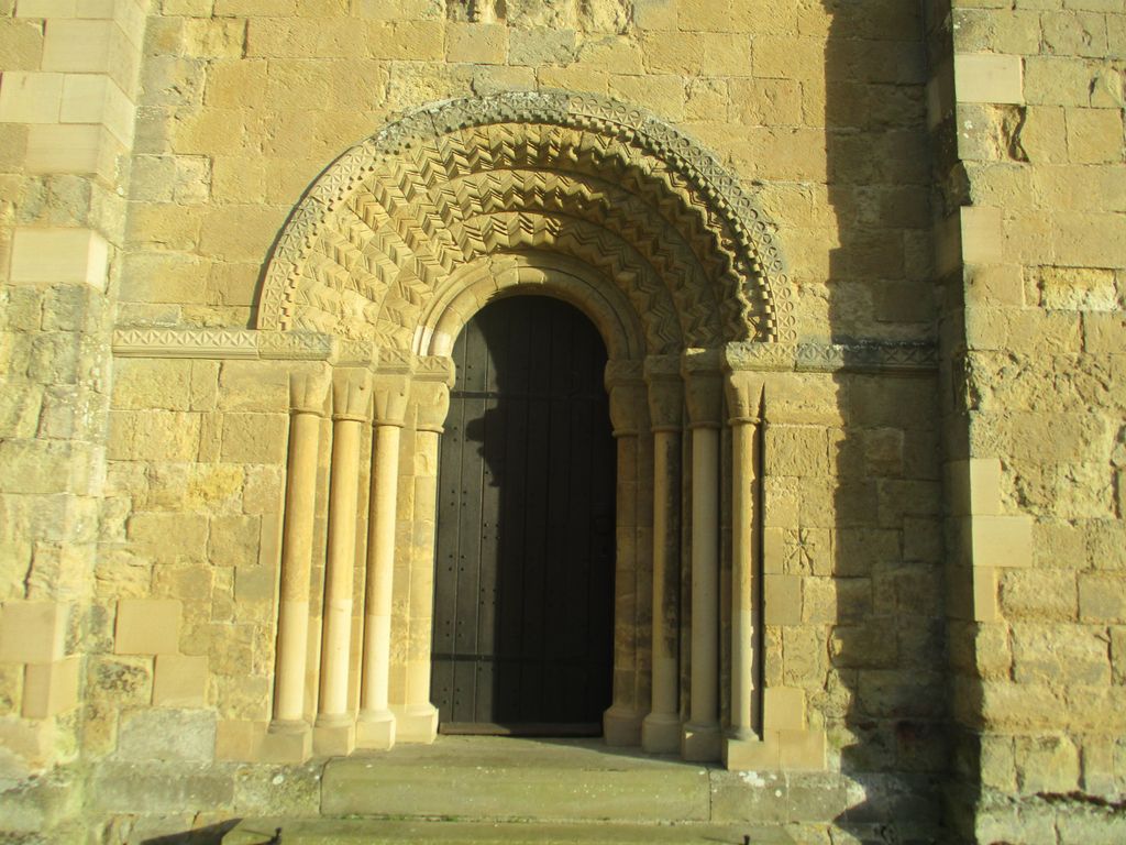
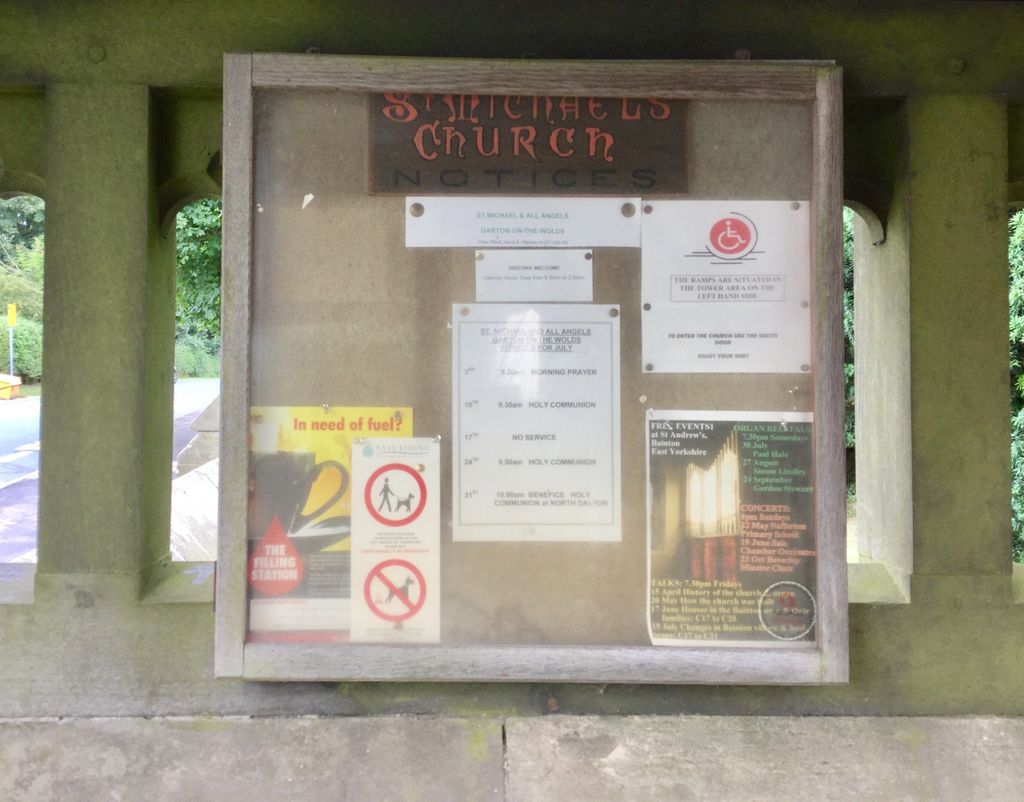
St. Michael and All Angels Churchyard is located at Pump Lane Garton-on-the-Wolds, East Riding of Yorkshire Unitary Authority ,East Riding of Yorkshire , Yo25 3esEngland.
-
St. Michael and All Angels Churchyard cemetery's updated grave count on graveviews.com?
0 memorials
-
Where are the coordinates of the St. Michael and All Angels Churchyard?
Latitude: 54.0204960
Longitude: -0.5030440
Nearby Cemetories:
1. All Saints Churchyard
Driffield, East Riding of Yorkshire Unitary Authority, England
Coordinate: 54.0077480, -0.4419340
2. St Mary Churchyard
Kirkburn, East Riding of Yorkshire Unitary Authority, England
Coordinate: 53.9820470, -0.5073770
3. Driffield Cemetery
Driffield, East Riding of Yorkshire Unitary Authority, England
Coordinate: 54.0112620, -0.4254680
4. Cottam Church
Cottam, East Riding of Yorkshire Unitary Authority, England
Coordinate: 54.0707320, -0.4833770
5. St. Mary Churchyard
Cowlam, East Riding of Yorkshire Unitary Authority, England
Coordinate: 54.0787700, -0.5292200
6. St. Andrew's Churchyard
Bainton, East Riding of Yorkshire Unitary Authority, England
Coordinate: 53.9583420, -0.5309270
7. St Peter Churchyard
Hutton Cranswick, East Riding of Yorkshire Unitary Authority, England
Coordinate: 53.9660000, -0.4405180
8. St. Mary's Churchyard
Fimber, East Riding of Yorkshire Unitary Authority, England
Coordinate: 54.0337830, -0.6361950
9. All Saints Churchyard
Kilham, East Riding of Yorkshire Unitary Authority, England
Coordinate: 54.0645570, -0.3750570
10. St. Martin's Churchyard
Lowthorpe, East Riding of Yorkshire Unitary Authority, England
Coordinate: 54.0318880, -0.3537900
11. All Saints Churchyard
Kilnwick, East Riding of Yorkshire Unitary Authority, England
Coordinate: 53.9320900, -0.4830980
12. Kilham Cemetery
Kilham, East Riding of Yorkshire Unitary Authority, England
Coordinate: 54.0687100, -0.3690310
13. Octon Crematorium
Langtoft, East Riding of Yorkshire Unitary Authority, England
Coordinate: 54.1089720, -0.4506760
14. Saint Mary's Churchyard
Huggate, East Riding of Yorkshire Unitary Authority, England
Coordinate: 53.9878100, -0.6560000
15. St. Mary's Churchyard
Fridaythorpe, East Riding of Yorkshire Unitary Authority, England
Coordinate: 54.0220090, -0.6667190
16. St. Mary's Church Luttons Ambo
West Lutton, Ryedale District, England
Coordinate: 54.1105340, -0.5779463
17. St. John of Beverley Churchyard
Harpham, East Riding of Yorkshire Unitary Authority, England
Coordinate: 54.0387080, -0.3336340
18. St. Andrew's Churchyard
Kirby Grindalythe, Ryedale District, England
Coordinate: 54.0955440, -0.6200050
19. St Margaret Churchyard
Beswick, East Riding of Yorkshire Unitary Authority, England
Coordinate: 53.9194140, -0.4599290
20. St Andrew Churchyard
Weaverthorpe, Ryedale District, England
Coordinate: 54.1267400, -0.5226800
21. St Nicholas Churchyard
Foxholes, Ryedale District, England
Coordinate: 54.1297000, -0.4843000
22. St Andrew Churchyard
Foston, East Riding of Yorkshire Unitary Authority, England
Coordinate: 53.9864230, -0.3227200
23. Burton Agnes Cemetery
Burton Agnes, East Riding of Yorkshire Unitary Authority, England
Coordinate: 54.0535070, -0.3202460
24. St Mary Churchyard
Lockington, East Riding of Yorkshire Unitary Authority, England
Coordinate: 53.9081670, -0.4837860