
| Memorials | : | 0 |
| Location | : | Bainton, East Riding of Yorkshire Unitary Authority, England |
| Coordinate | : | 53.9583420, -0.5309270 |
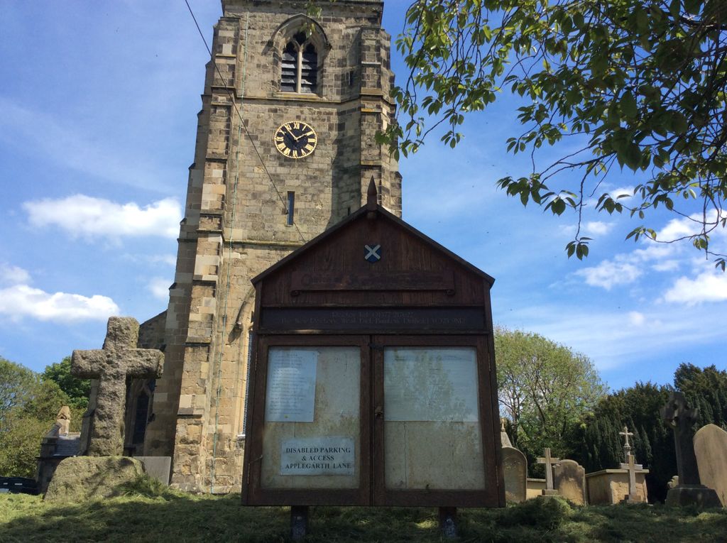
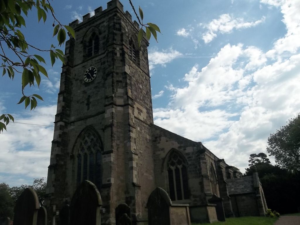
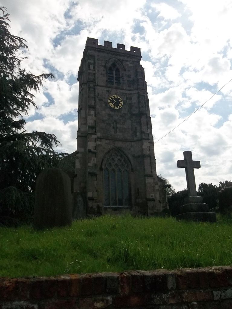
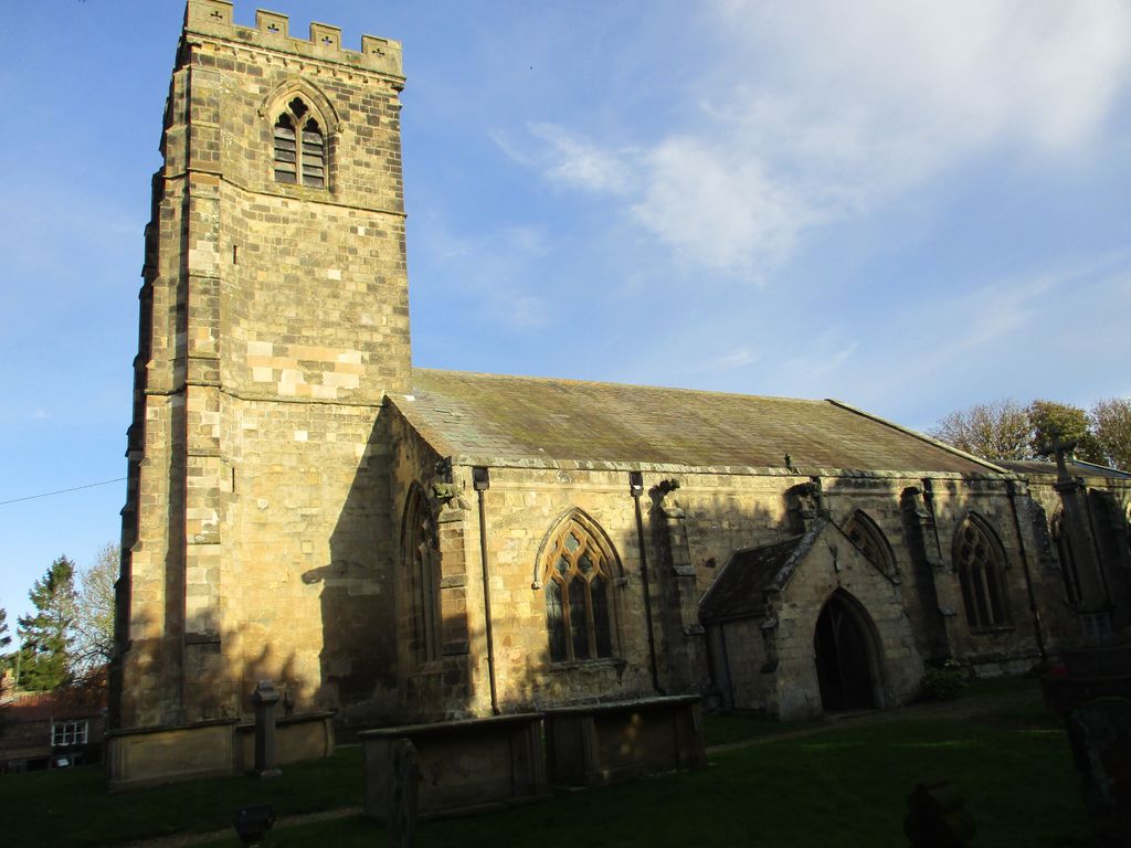
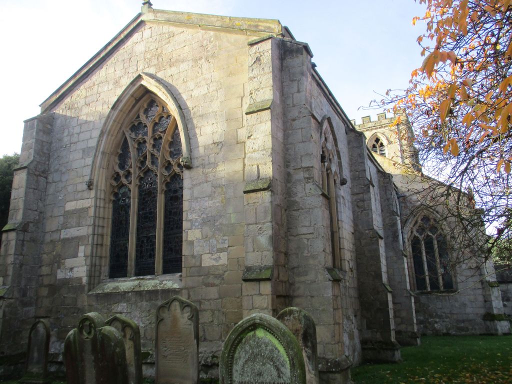
| Description | : | St. Andrew's Church is a Grade I listed Anglican church. The church was totally rebuilt in the 1330s or 1340s by the rector William de Brocklesby, except for the south-west corner of the chancel with its priest's doorway, which are c.1300. |
frequently asked questions (FAQ):
-
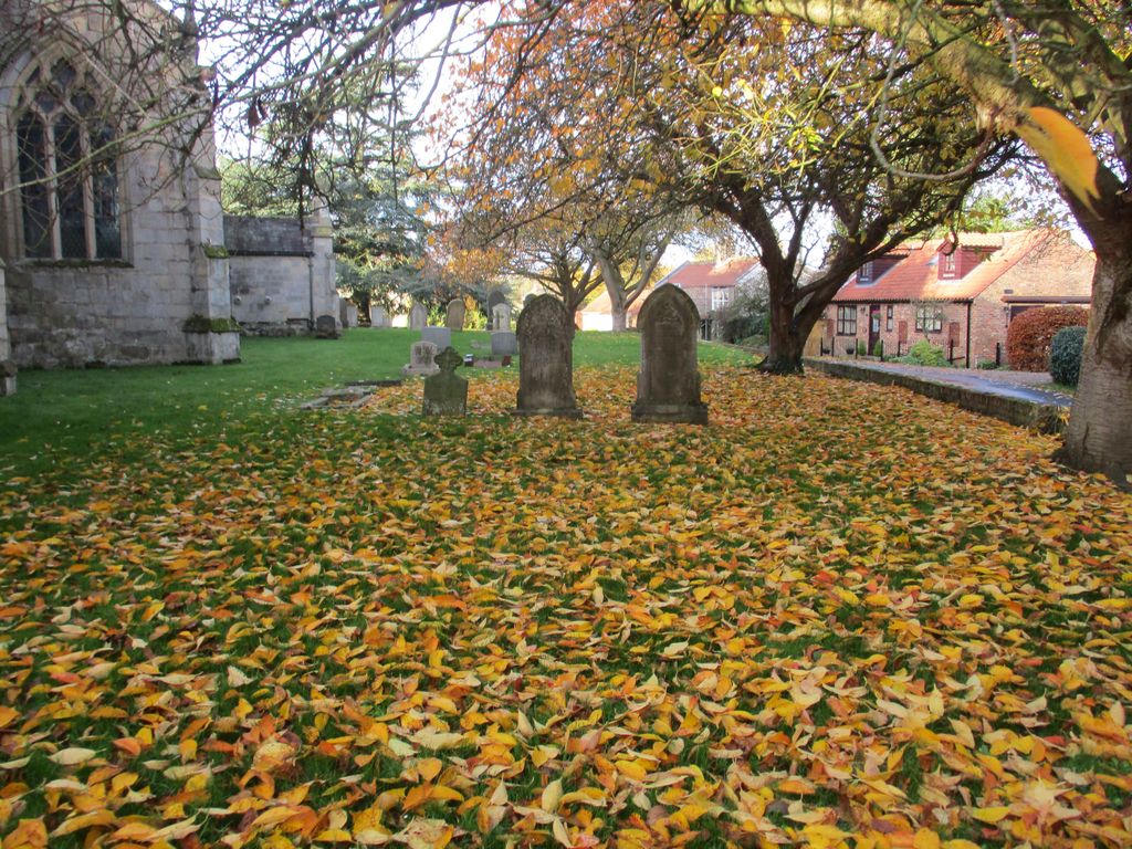
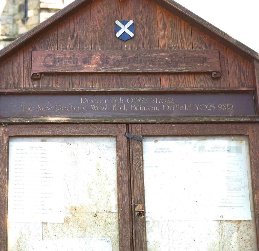
Where is St. Andrew's Churchyard?
St. Andrew's Churchyard is located at Bainton, East Riding of Yorkshire Unitary Authority ,East Riding of Yorkshire ,England.
-
St. Andrew's Churchyard cemetery's updated grave count on graveviews.com?
0 memorials
-
Where are the coordinates of the St. Andrew's Churchyard?
Latitude: 53.9583420
Longitude: -0.5309270

Nearby Cemetories:
1. St Mary Churchyard
Kirkburn, East Riding of Yorkshire Unitary Authority, England
Coordinate: 53.9820470, -0.5073770
2. All Saints Churchyard
Kilnwick, East Riding of Yorkshire Unitary Authority, England
Coordinate: 53.9320900, -0.4830980
3. St Peter Churchyard
Hutton Cranswick, East Riding of Yorkshire Unitary Authority, England
Coordinate: 53.9660000, -0.4405180
4. St Margaret Churchyard
Beswick, East Riding of Yorkshire Unitary Authority, England
Coordinate: 53.9194140, -0.4599290
5. St Mary Churchyard
Lockington, East Riding of Yorkshire Unitary Authority, England
Coordinate: 53.9081670, -0.4837860
6. St. Michael and All Angels Churchyard
Garton-on-the-Wolds, East Riding of Yorkshire Unitary Authority, England
Coordinate: 54.0204960, -0.5030440
7. All Saints Churchyard
Driffield, East Riding of Yorkshire Unitary Authority, England
Coordinate: 54.0077480, -0.4419340
8. Saint Mary's Churchyard
Huggate, East Riding of Yorkshire Unitary Authority, England
Coordinate: 53.9878100, -0.6560000
9. St Mary Churchyard
Etton, East Riding of Yorkshire Unitary Authority, England
Coordinate: 53.8791000, -0.5086000
10. Driffield Cemetery
Driffield, East Riding of Yorkshire Unitary Authority, England
Coordinate: 54.0112620, -0.4254680
11. St Catherine Churchyard
Leconfield, East Riding of Yorkshire Unitary Authority, England
Coordinate: 53.8800640, -0.4572990
12. St Michael and All Angels Churchyard
Cherry Burton, East Riding of Yorkshire Unitary Authority, England
Coordinate: 53.8658140, -0.4952220
13. St. Mary's Churchyard
Fimber, East Riding of Yorkshire Unitary Authority, England
Coordinate: 54.0337830, -0.6361950
14. St. Mary's Churchyard
Fridaythorpe, East Riding of Yorkshire Unitary Authority, England
Coordinate: 54.0220090, -0.6667190
15. All Saints Churchyard
Londesborough, East Riding of Yorkshire Unitary Authority, England
Coordinate: 53.8973660, -0.6796290
16. All Saints Churchyard
Goodmanham, East Riding of Yorkshire Unitary Authority, England
Coordinate: 53.8768150, -0.6485010
17. All Saints Churchyard
Bishop Burton, East Riding of Yorkshire Unitary Authority, England
Coordinate: 53.8443750, -0.4959940
18. Cottam Church
Cottam, East Riding of Yorkshire Unitary Authority, England
Coordinate: 54.0707320, -0.4833770
19. St. Mary Churchyard
Cowlam, East Riding of Yorkshire Unitary Authority, England
Coordinate: 54.0787700, -0.5292200
20. St. Mary's Molescroft Road Cemetery
Beverley, East Riding of Yorkshire Unitary Authority, England
Coordinate: 53.8490070, -0.4421000
21. St Andrew Churchyard
Foston, East Riding of Yorkshire Unitary Authority, England
Coordinate: 53.9864230, -0.3227200
22. St. Mary North Bar Within Cemetery
Beverley, East Riding of Yorkshire Unitary Authority, England
Coordinate: 53.8445340, -0.4355770
23. St. Martin's Churchyard
Lowthorpe, East Riding of Yorkshire Unitary Authority, England
Coordinate: 54.0318880, -0.3537900
24. St Giles Churchyard
Burnby, East Riding of Yorkshire Unitary Authority, England
Coordinate: 53.9067790, -0.7292650