
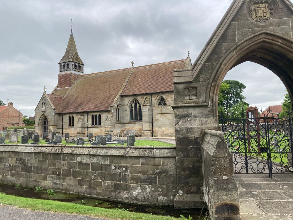
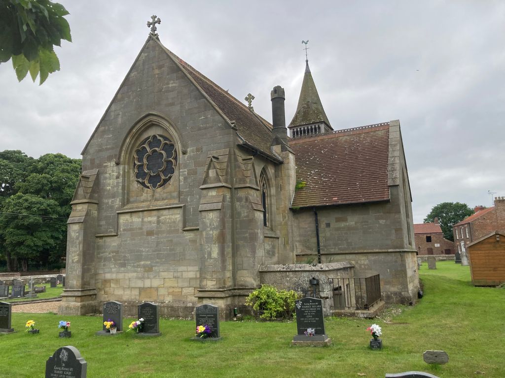
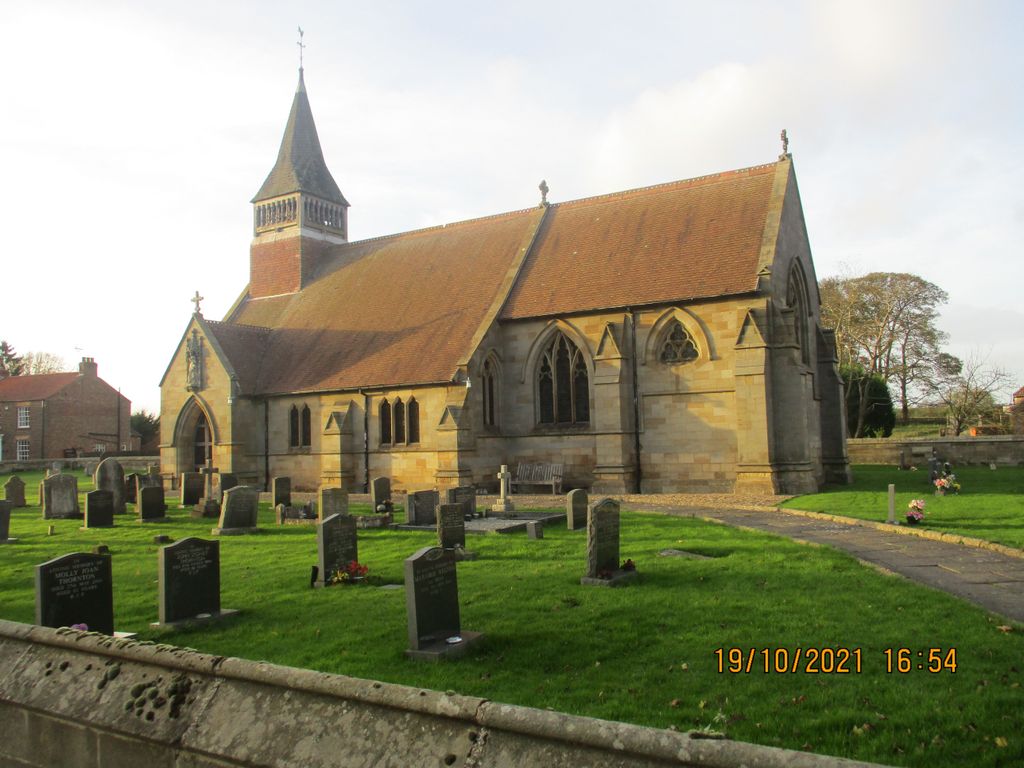
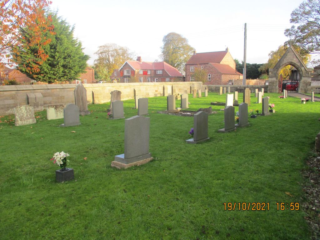
| Memorials | : | 13 |
| Location | : | West Lutton, Ryedale District, England |
| Coordinate | : | 54.1105340, -0.5779463 |
frequently asked questions (FAQ):
-
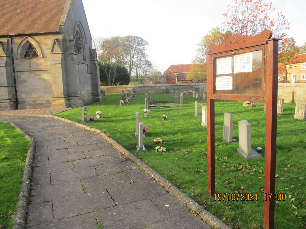
Where is St. Mary's Church Luttons Ambo?
St. Mary's Church Luttons Ambo is located at 3 Church View West Lutton, Ryedale District ,North Yorkshire , YO17 8TAEngland.
-
St. Mary's Church Luttons Ambo cemetery's updated grave count on graveviews.com?
13 memorials
-
Where are the coordinates of the St. Mary's Church Luttons Ambo?
Latitude: 54.1105340
Longitude: -0.5779463


Nearby Cemetories:
1. St. Andrew's Churchyard
Kirby Grindalythe, Ryedale District, England
Coordinate: 54.0955440, -0.6200050
2. St Andrew Churchyard
Weaverthorpe, Ryedale District, England
Coordinate: 54.1267400, -0.5226800
3. St. Mary Churchyard
Cowlam, East Riding of Yorkshire Unitary Authority, England
Coordinate: 54.0787700, -0.5292200
4. St Peter Churchyard
Wintringham, Ryedale District, England
Coordinate: 54.1467660, -0.6431680
5. St Nicholas Churchyard
Foxholes, Ryedale District, England
Coordinate: 54.1297000, -0.4843000
6. All Saints Churchyard
West Heslerton, Ryedale District, England
Coordinate: 54.1704100, -0.6057100
7. St. Andrew's Churchyard
East Heslerton, Ryedale District, England
Coordinate: 54.1772500, -0.5825000
8. St. Mary's Churchyard
Wharram le Street, Ryedale District, England
Coordinate: 54.0820040, -0.6810779
9. Cottam Church
Cottam, East Riding of Yorkshire Unitary Authority, England
Coordinate: 54.0707320, -0.4833770
10. Octon Crematorium
Langtoft, East Riding of Yorkshire Unitary Authority, England
Coordinate: 54.1089720, -0.4506760
11. All Saints' Churchyard
Thorpe Bassett, Ryedale District, England
Coordinate: 54.1496503, -0.6875921
12. St. Hilda Churchyard
Sherburn, Ryedale District, England
Coordinate: 54.1837400, -0.5311200
13. St. Martin Churchyard
Wharram Percy, Ryedale District, England
Coordinate: 54.0665700, -0.6901300
14. St. Andrew’s Churchyard Extension
Rillington, Ryedale District, England
Coordinate: 54.1558500, -0.6926500
15. St. Nicholas Churchyard
North Grimston, Ryedale District, England
Coordinate: 54.0989220, -0.7148680
16. All Saints Churchyard
Settrington, Ryedale District, England
Coordinate: 54.1212780, -0.7178830
17. St. Andrew's Churchyard
Rillington, Ryedale District, England
Coordinate: 54.1579700, -0.6959800
18. St. Mary's Churchyard
Fimber, East Riding of Yorkshire Unitary Authority, England
Coordinate: 54.0337830, -0.6361950
19. Settrington Cemetery
Settrington, Ryedale District, England
Coordinate: 54.1254200, -0.7221700
20. St Nicholas Churchyard
Ganton, Ryedale District, England
Coordinate: 54.1846000, -0.4846000
21. St. John the Baptist Churchyard
Yedingham, Ryedale District, England
Coordinate: 54.2041744, -0.6320491
22. St. Michael and All Angels Churchyard
Garton-on-the-Wolds, East Riding of Yorkshire Unitary Authority, England
Coordinate: 54.0204960, -0.5030440
23. St. Mary's Churchyard
Fridaythorpe, East Riding of Yorkshire Unitary Authority, England
Coordinate: 54.0220090, -0.6667190
24. St Mary Churchyard
Birdsall, Ryedale District, England
Coordinate: 54.0780000, -0.7508000