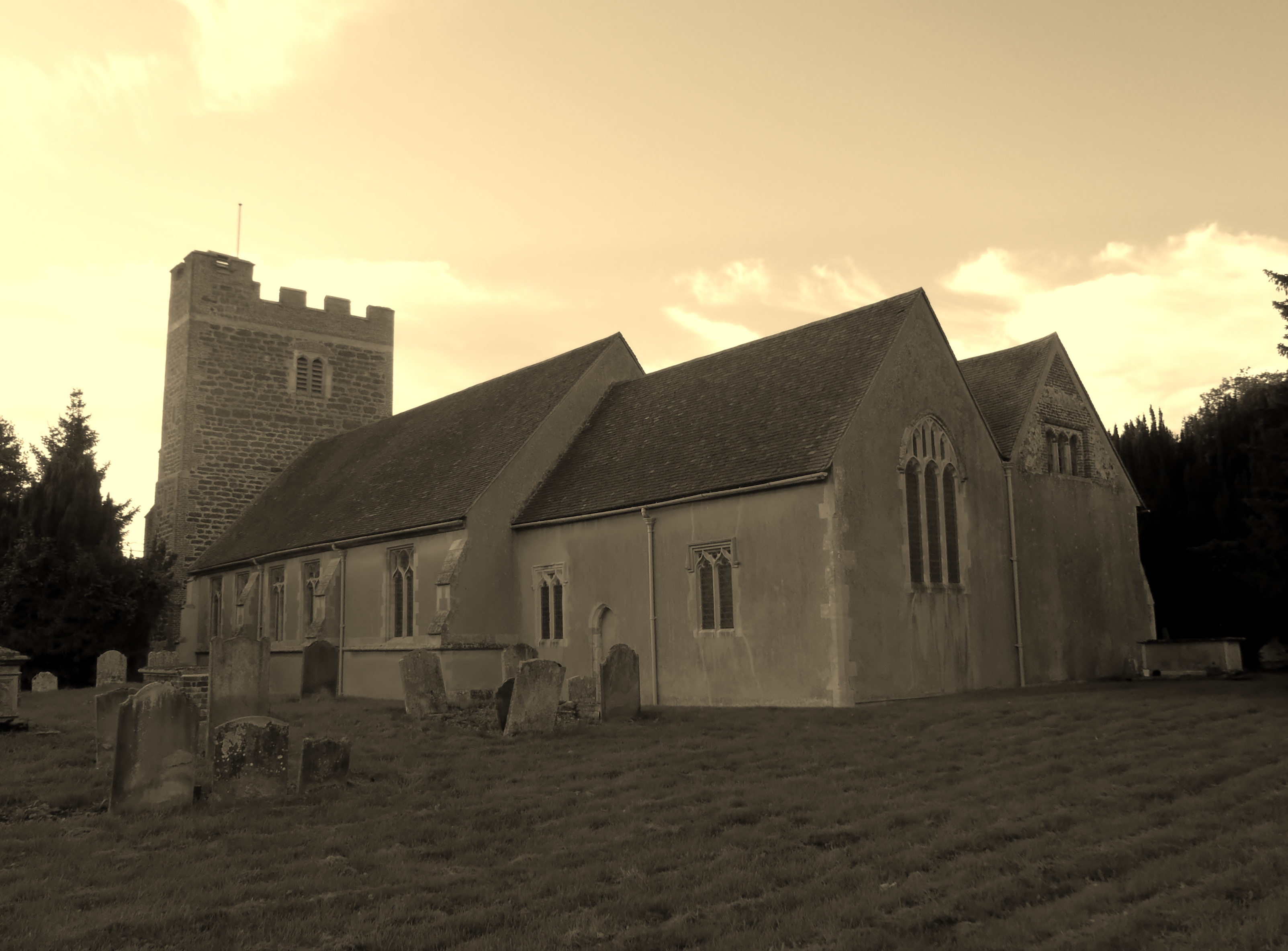
| Memorials | : | 12 |
| Location | : | Heckfield, Hart District, England |
| Coordinate | : | 51.3389940, -0.9642430 |
| Description | : | Heckfield is a village in Hampshire, England. It lies between Reading, Berkshire and Hook, Hart. It is the location of Highfield Park, where Neville Chamberlain died in 1940, and it is adjacent to Stratfield Saye House, the large stately home that has been the home of the Dukes of Wellington since 1817.[text by wertypop] |
frequently asked questions (FAQ):
-
Where is St Michael Churchyard?
St Michael Churchyard is located at Church Lane Heckfield, Hart District ,Hampshire , RG27 0LGEngland.
-
St Michael Churchyard cemetery's updated grave count on graveviews.com?
12 memorials
-
Where are the coordinates of the St Michael Churchyard?
Latitude: 51.3389940
Longitude: -0.9642430
Nearby Cemetories:
1. St Mary Churchyard
Stratfield Saye, Basingstoke and Deane Borough, England
Coordinate: 51.3474200, -1.0023700
2. Mattingley Churchyard
Mattingley, Hart District, England
Coordinate: 51.3164700, -0.9447000
3. Stratfield Saye House
Stratfield Saye, Basingstoke and Deane Borough, England
Coordinate: 51.3522220, -1.0058200
4. St Mary Churchyard
Hartley Wespall, Basingstoke and Deane Borough, England
Coordinate: 51.3197500, -0.9996400
5. Nutbean Lane Cemetery
Swallowfield, Wokingham Borough, England
Coordinate: 51.3730630, -0.9430220
6. Rotherwick Churchyard
Rotherwick, Hart District, England
Coordinate: 51.3010190, -0.9806320
7. All Saints Churchyard
Swallowfield, Wokingham Borough, England
Coordinate: 51.3775140, -0.9500010
8. St Mary Churchyard
Eversley, Hart District, England
Coordinate: 51.3420150, -0.8827520
9. All Souls Churchyard
Hartfordbridge, Hart District, England
Coordinate: 51.3141800, -0.8861300
10. Hook Cemetery
Hook, Hart District, England
Coordinate: 51.2840400, -0.9602700
11. St John the Evangelist Churchyard
Hook, Hart District, England
Coordinate: 51.2833900, -0.9601300
12. St. Leonard's Churchyard
Sherfield on Loddon, Basingstoke and Deane Borough, England
Coordinate: 51.3061100, -1.0376400
13. St Mary Churchyard
Hartley Wintney, Hart District, England
Coordinate: 51.2970100, -0.9003200
14. St Nicholas Churchyard
Newnham, Basingstoke and Deane Borough, England
Coordinate: 51.2806190, -0.9922190
15. Holy Trinity Churchyard
Grazeley, Wokingham Borough, England
Coordinate: 51.3972008, -0.9965683
16. St. Mary Churchyard
Shinfield, Wokingham Borough, England
Coordinate: 51.4081180, -0.9524620
17. St James Churchyard
Finchampstead, Wokingham Borough, England
Coordinate: 51.3678500, -0.8625620
18. St James Churchyard
Bramley, Basingstoke and Deane Borough, England
Coordinate: 51.3263740, -1.0757240
19. St. Swithun Churchyard
Nately Scures, Basingstoke and Deane Borough, England
Coordinate: 51.2719600, -1.0022200
20. Old Churchyard
Arborfield, Wokingham Borough, England
Coordinate: 51.4061530, -0.9231220
21. St Mary the Virgin Churchyard
Silchester, Basingstoke and Deane Borough, England
Coordinate: 51.3564000, -1.0775700
22. St Bartholomew Churchyard
Arborfield, Wokingham Borough, England
Coordinate: 51.4043310, -0.9118300
23. St Mary the Virgin Churchyard
Winchfield, Hart District, England
Coordinate: 51.2764500, -0.9012600
24. Barkham St. James Churchyard
Wokingham Borough, England
Coordinate: 51.3914610, -0.8744930


