
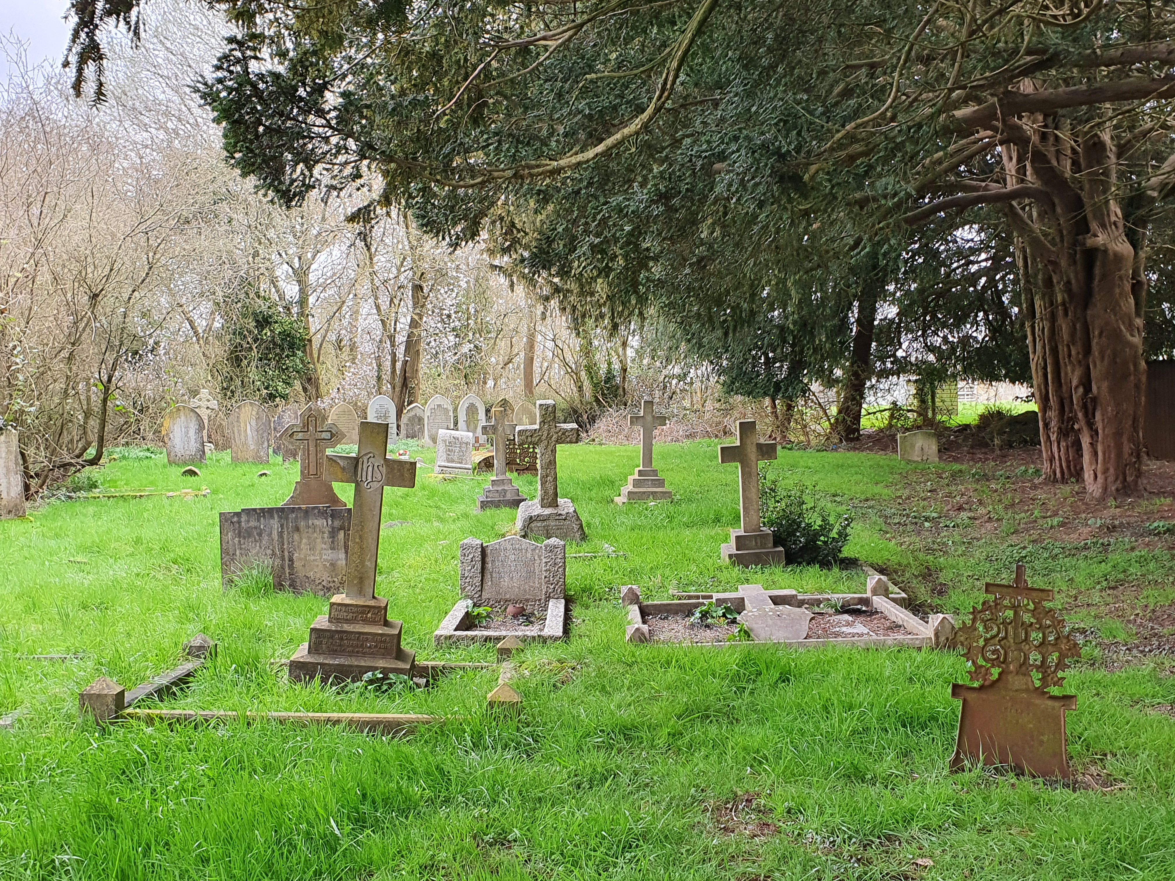
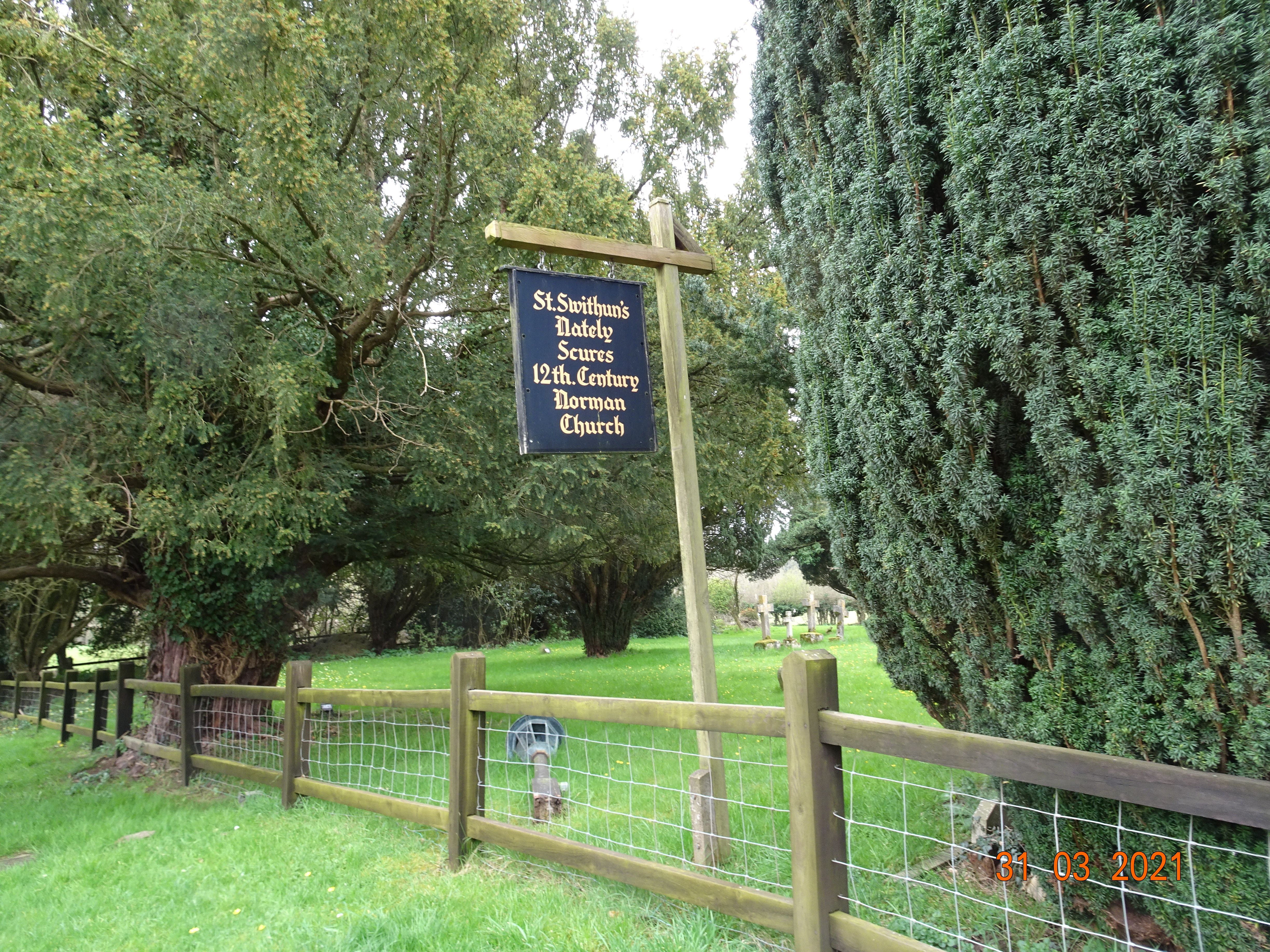
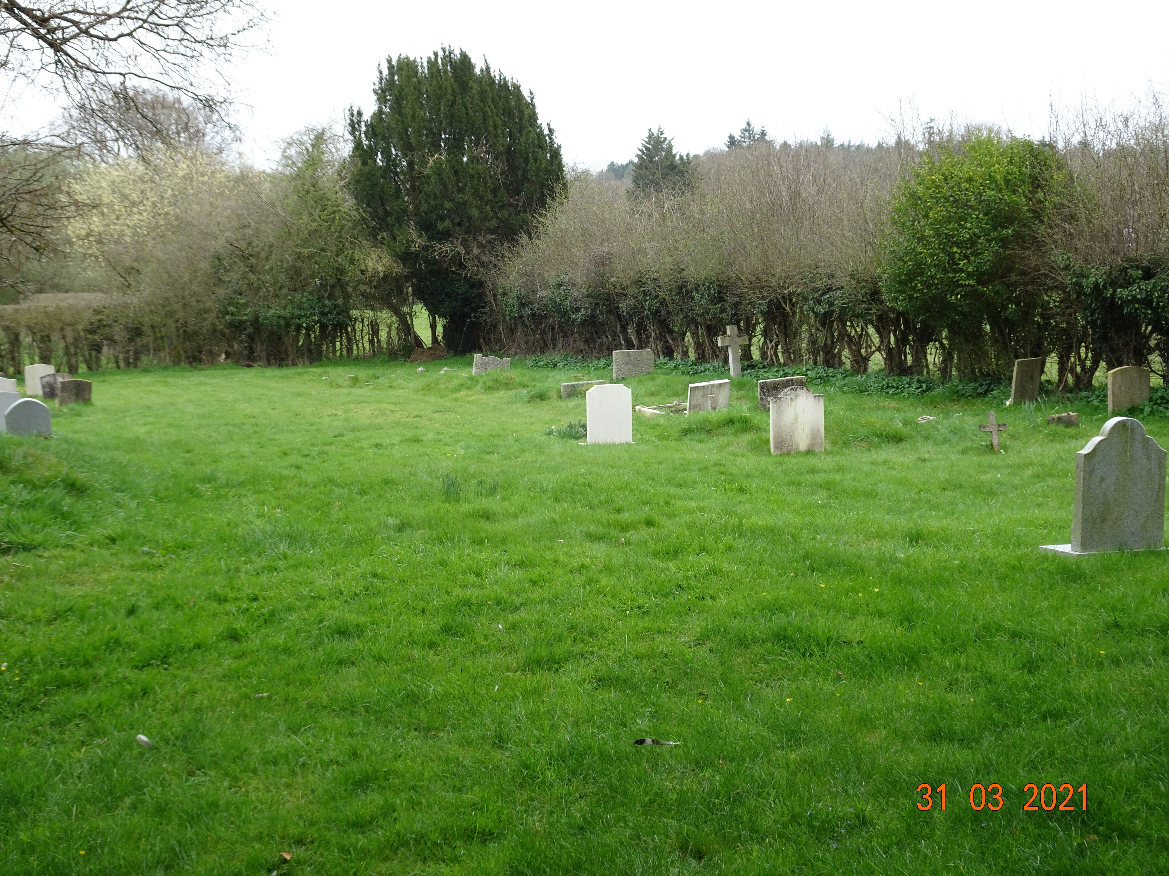
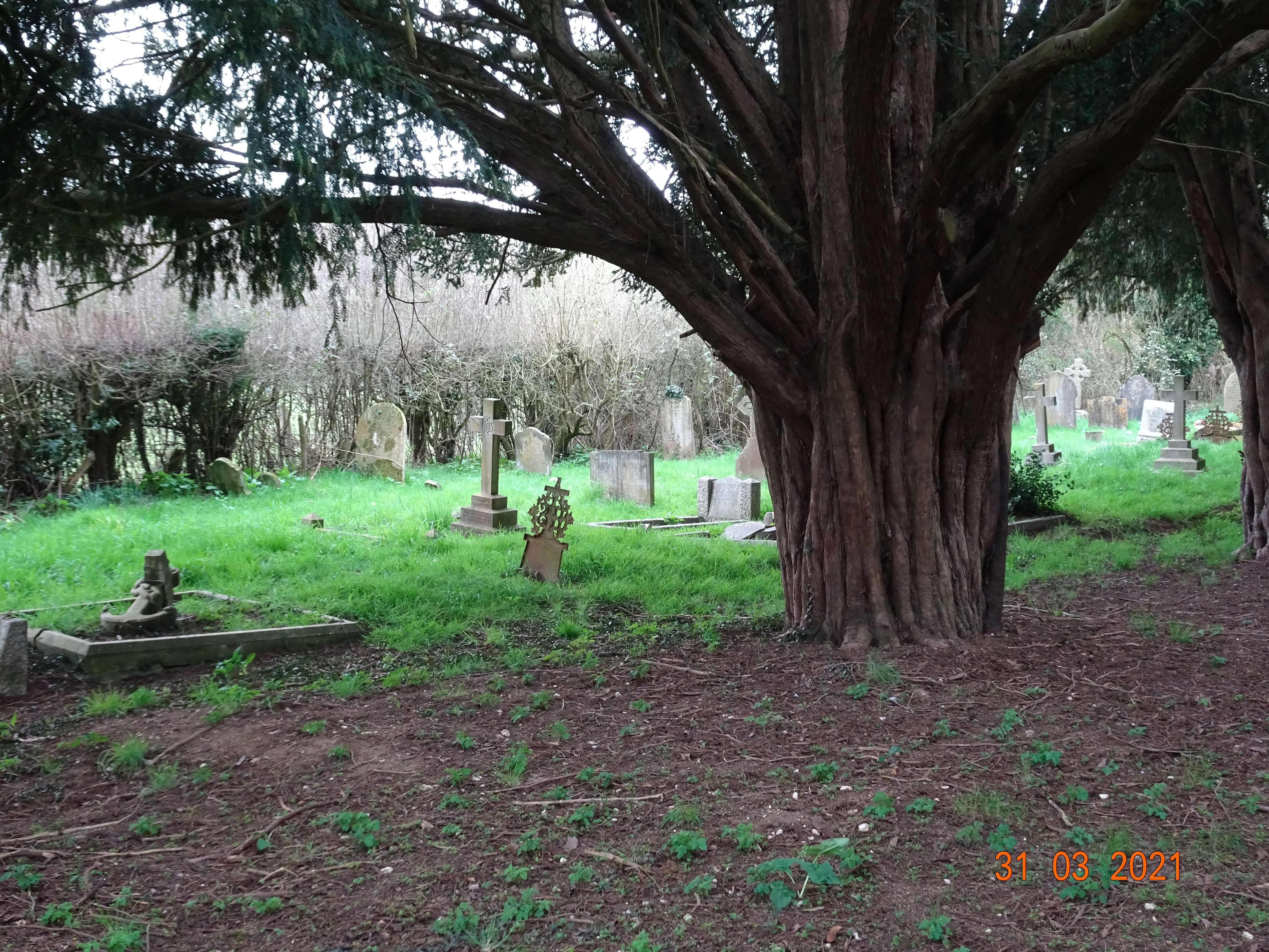
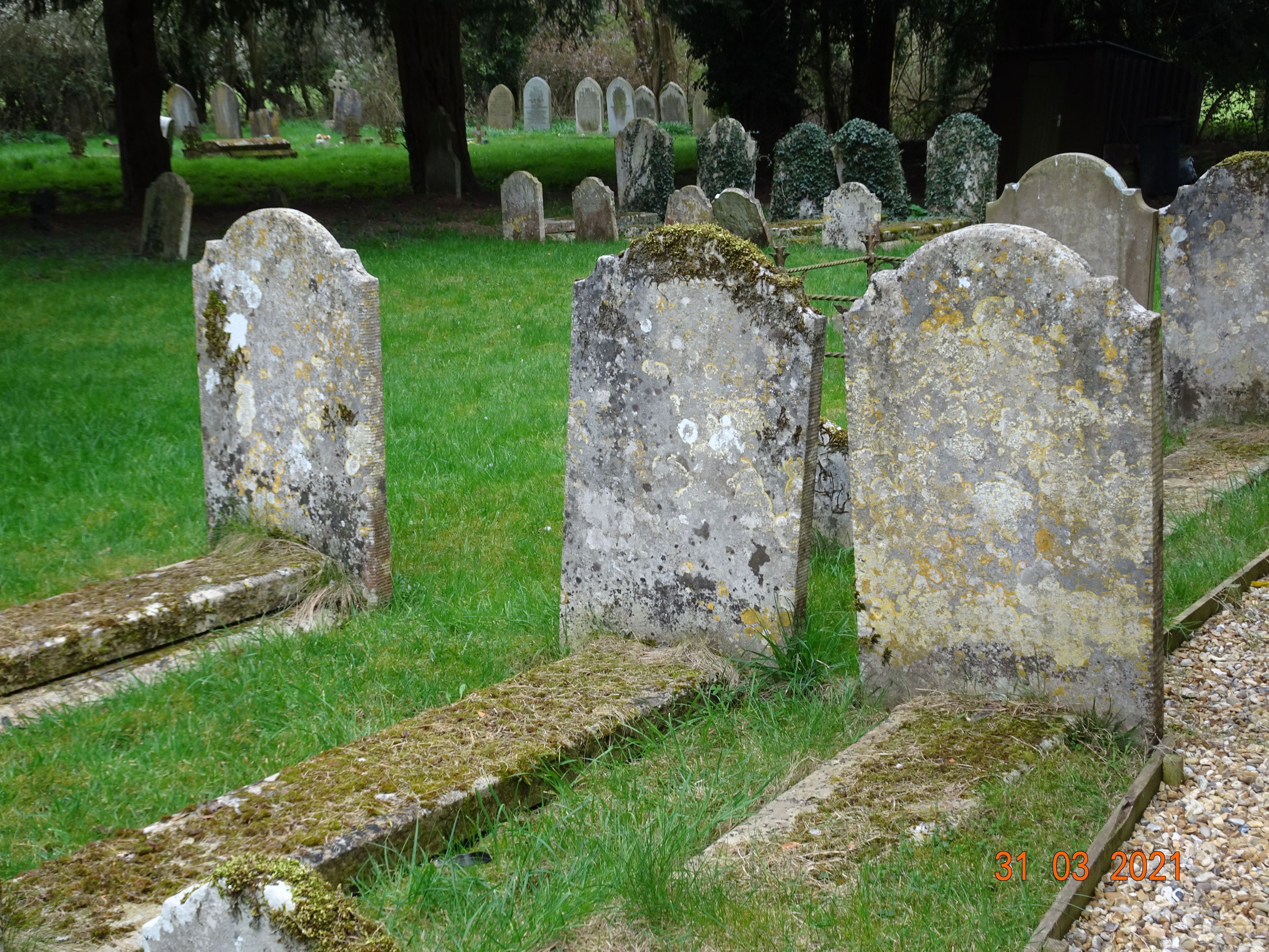
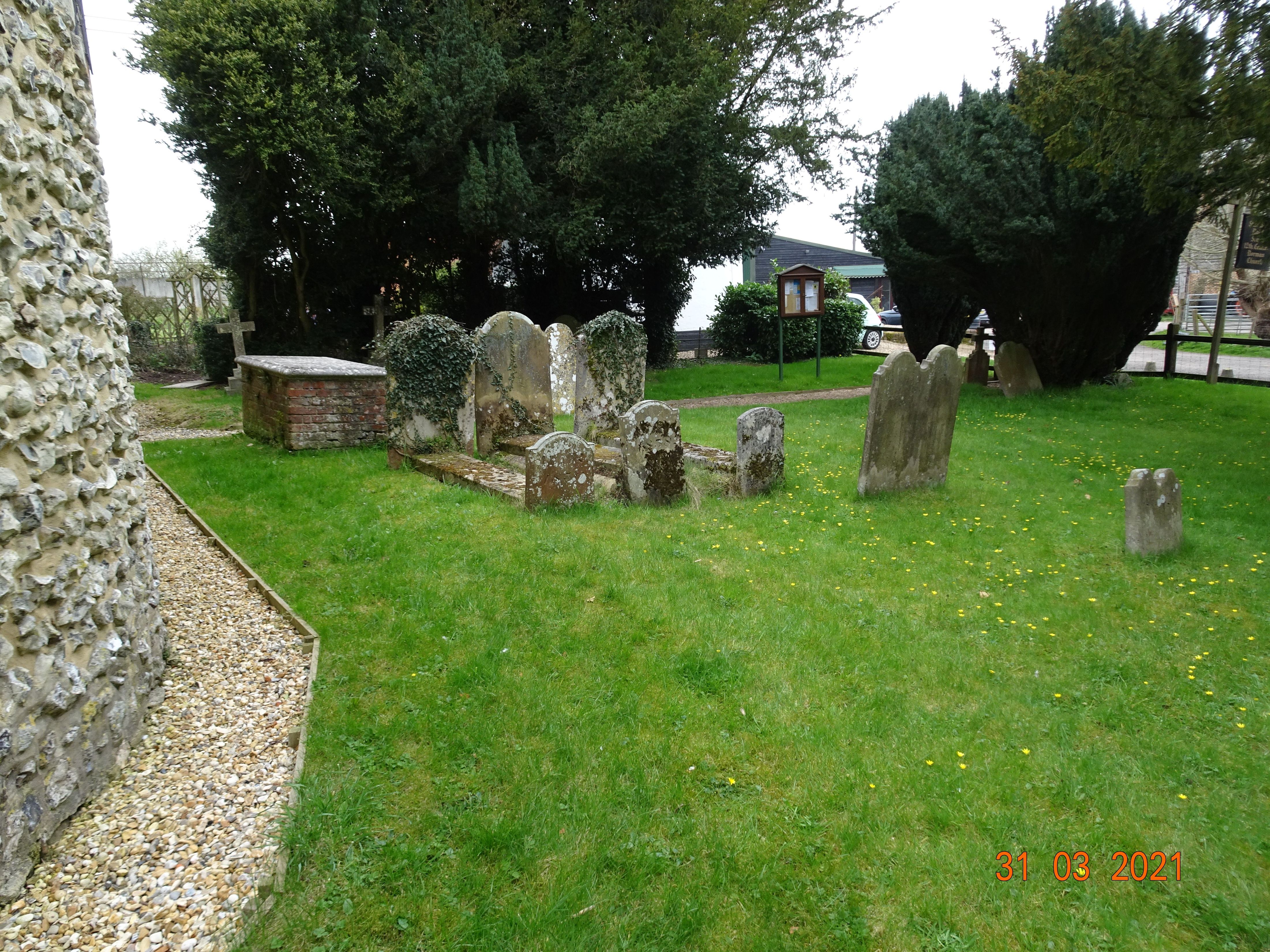
| Memorials | : | 33 |
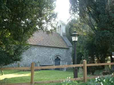
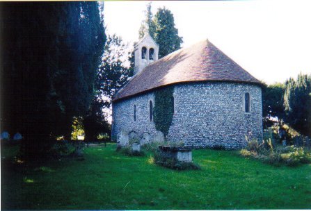
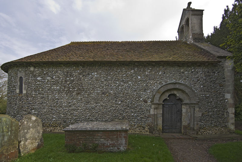
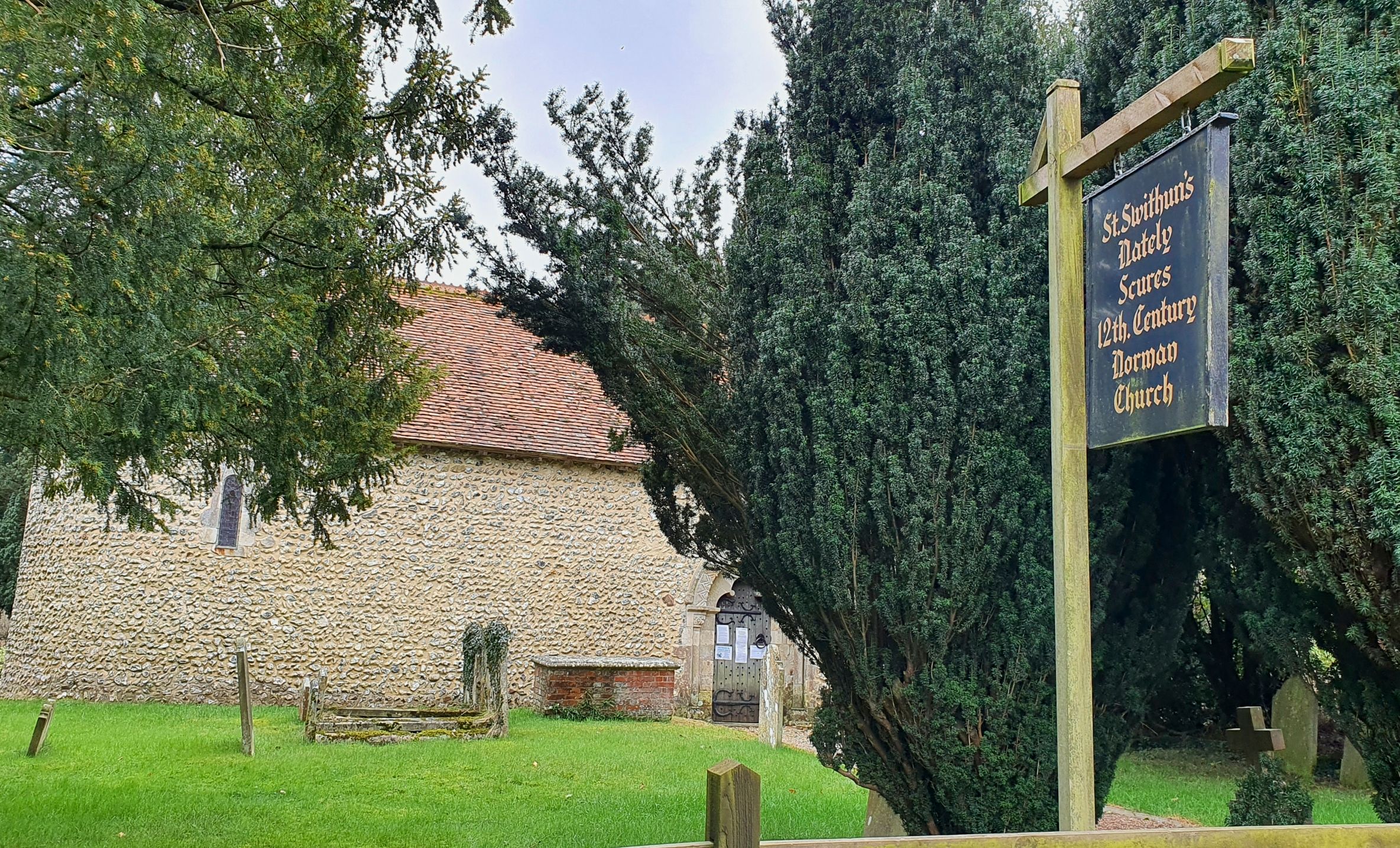
| Location | : | Nately Scures, Basingstoke and Deane Borough, England |
| Coordinate | : | 51.2719600, -1.0022200 |
frequently asked questions (FAQ):
-
Where is St. Swithun Churchyard?
St. Swithun Churchyard is located at Blackstocks Lane Nately Scures, Basingstoke and Deane Borough ,Hampshire , RG27 9PHEngland.
-
St. Swithun Churchyard cemetery's updated grave count on graveviews.com?
33 memorials
-
Where are the coordinates of the St. Swithun Churchyard?
Latitude: 51.2719600
Longitude: -1.0022200
Nearby Cemetories:
1. St Stephen Churchyard
Up Nately, Basingstoke and Deane Borough, England
Coordinate: 51.2627500, -0.9971500
2. St Nicholas Churchyard
Newnham, Basingstoke and Deane Borough, England
Coordinate: 51.2806190, -0.9922190
3. St Mary Churchyard
Mapledurwell, Basingstoke and Deane Borough, England
Coordinate: 51.2538100, -1.0161300
4. Old Basing Cemetery
Old Basing, Basingstoke and Deane Borough, England
Coordinate: 51.2736710, -1.0397679
5. St. Mary's Churchyard
Greywell, Hart District, England
Coordinate: 51.2536700, -0.9719700
6. St Mary Churchyard
Old Basing, Basingstoke and Deane Borough, England
Coordinate: 51.2715280, -1.0467700
7. St John the Evangelist Churchyard
Hook, Hart District, England
Coordinate: 51.2833900, -0.9601300
8. Hook Cemetery
Hook, Hart District, England
Coordinate: 51.2840400, -0.9602700
9. Rotherwick Churchyard
Rotherwick, Hart District, England
Coordinate: 51.3010190, -0.9806320
10. St. Leonard's Churchyard
Sherfield on Loddon, Basingstoke and Deane Borough, England
Coordinate: 51.3061100, -1.0376400
11. St. Mary's Churchyard
Upton Grey, Basingstoke and Deane Borough, England
Coordinate: 51.2307800, -1.0025200
12. All Saints Churchyard
Odiham, Hart District, England
Coordinate: 51.2529200, -0.9407000
13. Odiham Cemetery
Odiham, Hart District, England
Coordinate: 51.2521010, -0.9360700
14. All Saints Churchyard
Tunworth, Basingstoke and Deane Borough, England
Coordinate: 51.2312600, -1.0367400
15. St Mary Churchyard
Hartley Wespall, Basingstoke and Deane Borough, England
Coordinate: 51.3197500, -0.9996400
16. St Mary Churchyard
Basingstoke, Basingstoke and Deane Borough, England
Coordinate: 51.2652010, -1.0818960
17. St. Michael's Churchyard
Basingstoke, Basingstoke and Deane Borough, England
Coordinate: 51.2652400, -1.0885200
18. St Lawrence Churchyard
Weston Patrick, Basingstoke and Deane Borough, England
Coordinate: 51.2170740, -1.0121040
19. South View Cemetery
Basingstoke, Basingstoke and Deane Borough, England
Coordinate: 51.2693510, -1.0911620
20. St Andrew Churchyard
South Warnborough, Hart District, England
Coordinate: 51.2198000, -0.9684700
21. Mattingley Churchyard
Mattingley, Hart District, England
Coordinate: 51.3164700, -0.9447000
22. Long Sutton Cemetery
Long Sutton, Hart District, England
Coordinate: 51.2193610, -0.9465190
23. All Saints Churchyard
Long Sutton, Hart District, England
Coordinate: 51.2207300, -0.9432800
24. St Mary the Virgin Churchyard
Winchfield, Hart District, England
Coordinate: 51.2764500, -0.9012600