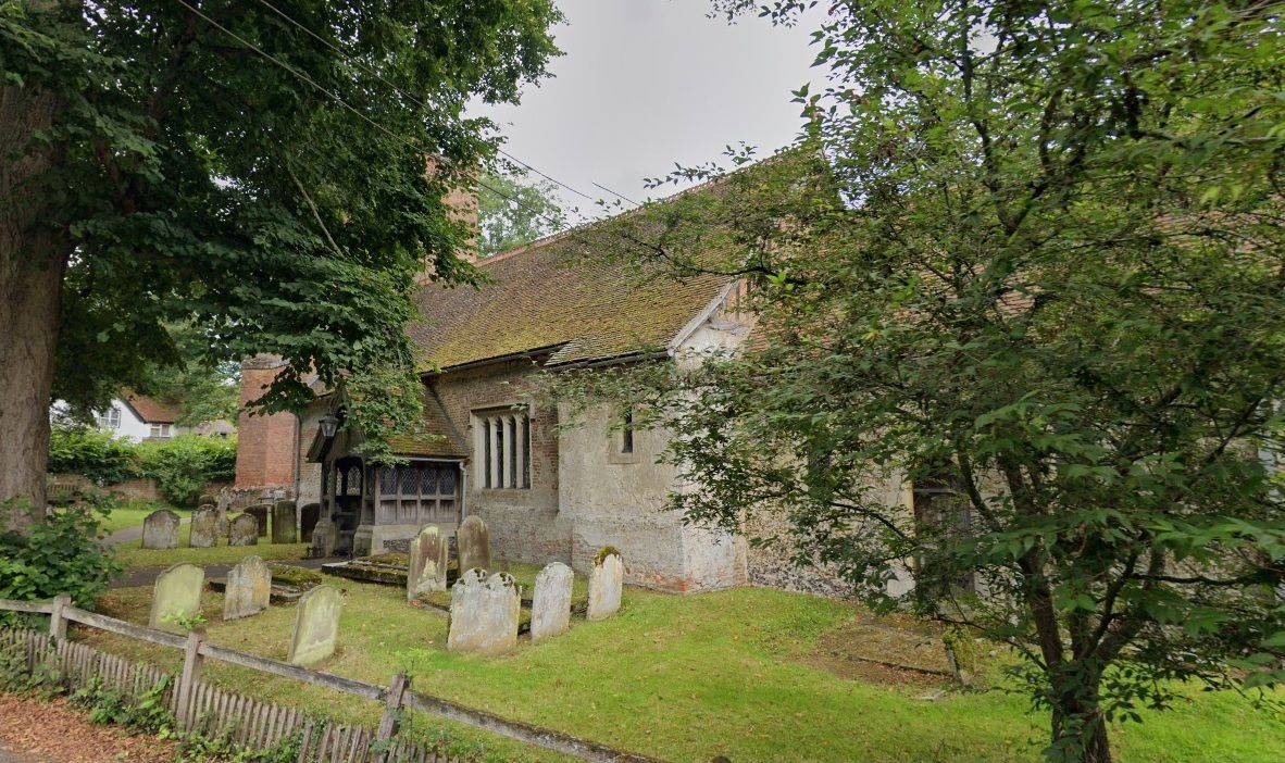
| Memorials | : | 28 |
| Location | : | Rotherwick, Hart District, England |
| Coordinate | : | 51.3010190, -0.9806320 |
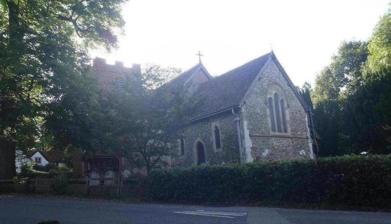
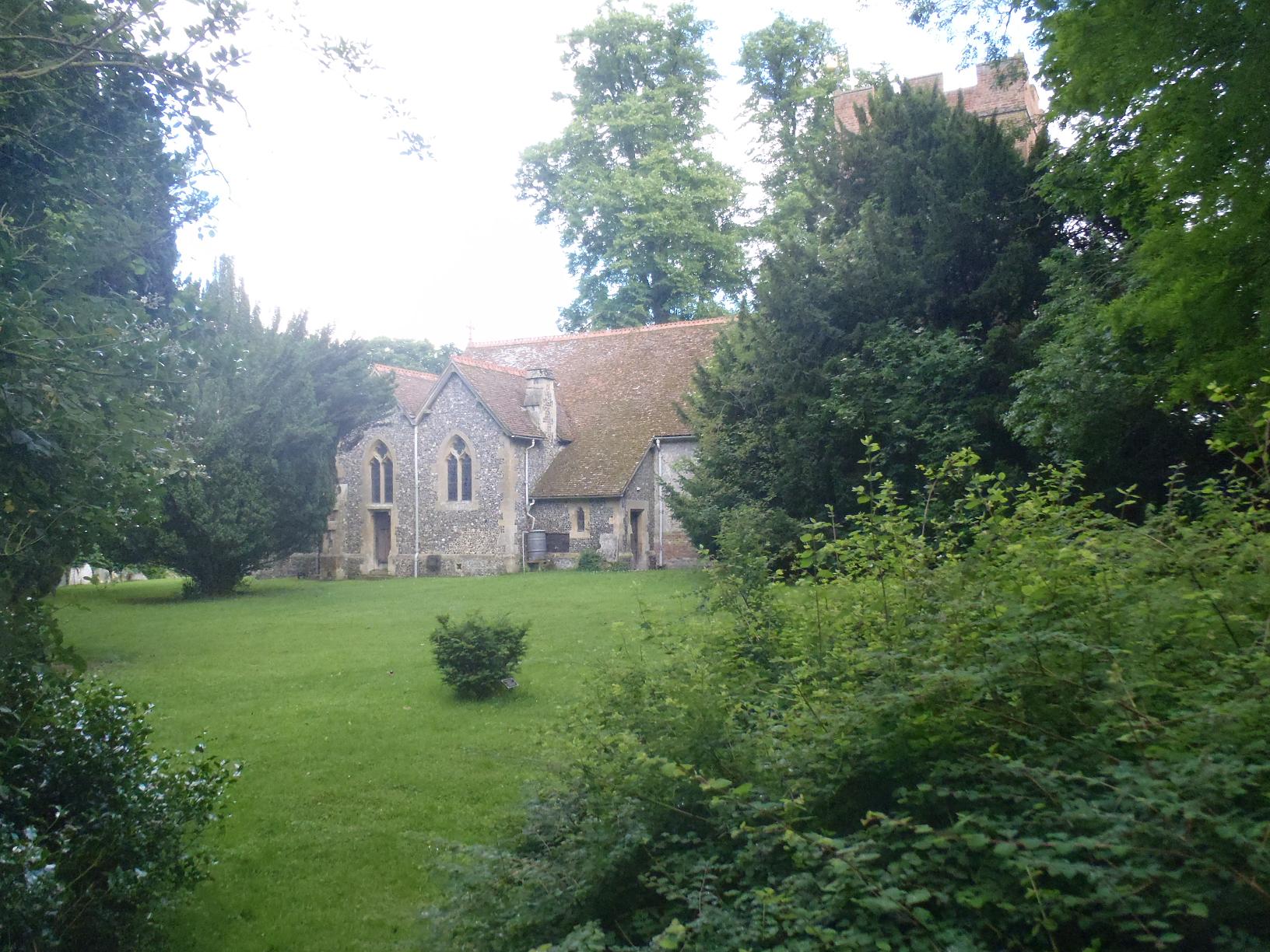
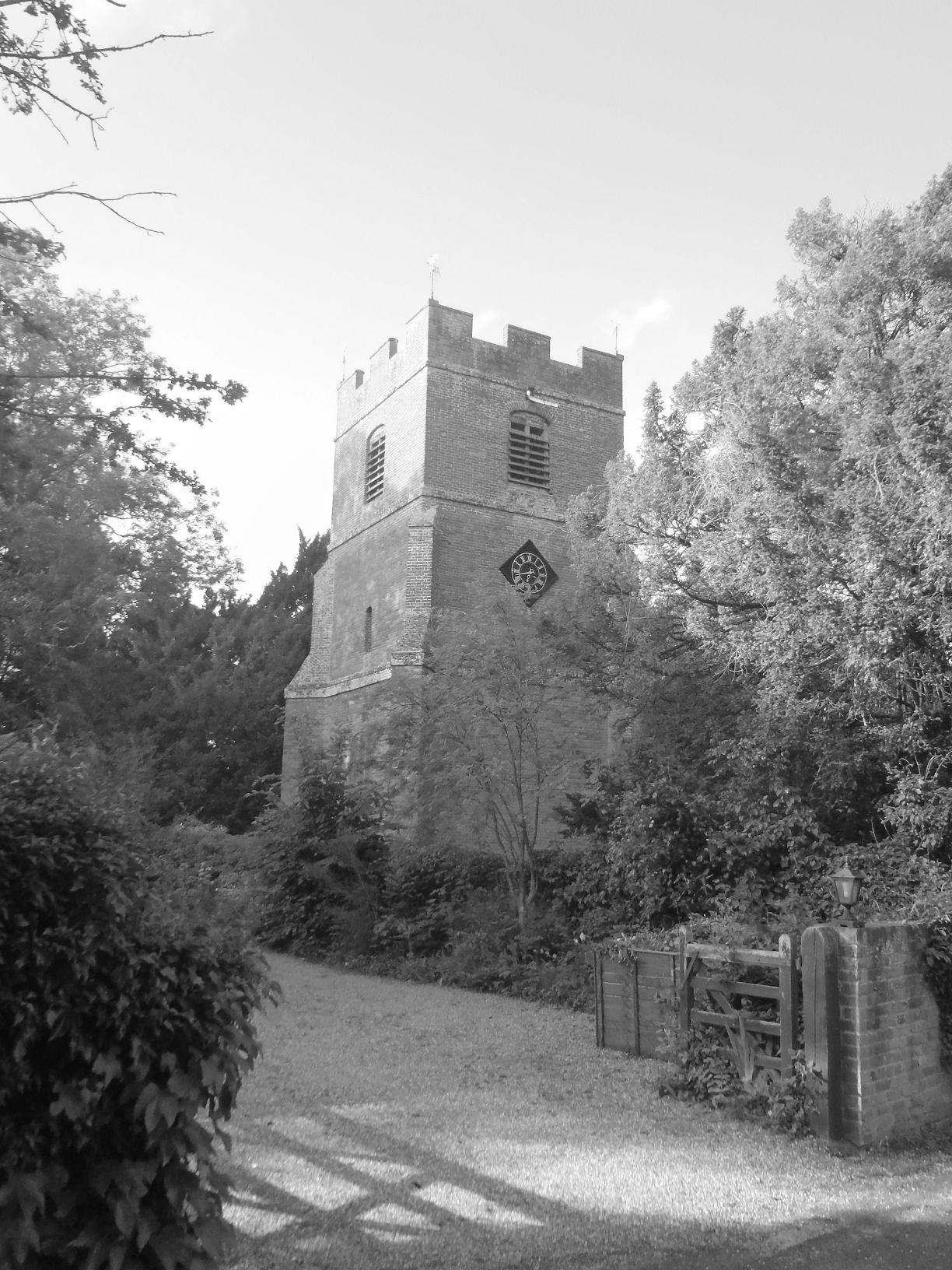
| Description | : | The Church is not dedicated to a specific saint, which is somewhat unusual for the Church of England. Rotherwick is a small village situated in the Hart district of Hampshire, England. It is situated between the Whitewater and the Lyde, both tributaries of the Loddon. Rotherwick is within walking distance from Hook. Rotherwick is famous for its village hall, erected in 1933 by a charitable trust set up in 1931 by an American couple, Mr. & Mrs. De Forest, in memory of their son Charles De Forest. added by Wertypop |
frequently asked questions (FAQ):
-
Where is Rotherwick Churchyard?
Rotherwick Churchyard is located at The Street Rotherwick, Hart District ,Hampshire , RG27 9BGEngland.
-
Rotherwick Churchyard cemetery's updated grave count on graveviews.com?
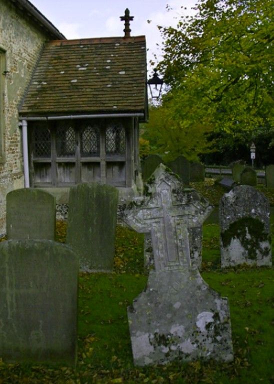
28 memorials
-
Where are the coordinates of the Rotherwick Churchyard?
Latitude: 51.3010190
Longitude: -0.9806320
Nearby Cemetories:
1. Hook Cemetery
Hook, Hart District, England
Coordinate: 51.2840400, -0.9602700
2. St Nicholas Churchyard
Newnham, Basingstoke and Deane Borough, England
Coordinate: 51.2806190, -0.9922190
3. St John the Evangelist Churchyard
Hook, Hart District, England
Coordinate: 51.2833900, -0.9601300
4. St Mary Churchyard
Hartley Wespall, Basingstoke and Deane Borough, England
Coordinate: 51.3197500, -0.9996400
5. Mattingley Churchyard
Mattingley, Hart District, England
Coordinate: 51.3164700, -0.9447000
6. St. Swithun Churchyard
Nately Scures, Basingstoke and Deane Borough, England
Coordinate: 51.2719600, -1.0022200
7. St. Leonard's Churchyard
Sherfield on Loddon, Basingstoke and Deane Borough, England
Coordinate: 51.3061100, -1.0376400
8. St Michael Churchyard
Heckfield, Hart District, England
Coordinate: 51.3389940, -0.9642430
9. St Stephen Churchyard
Up Nately, Basingstoke and Deane Borough, England
Coordinate: 51.2627500, -0.9971500
10. Old Basing Cemetery
Old Basing, Basingstoke and Deane Borough, England
Coordinate: 51.2736710, -1.0397679
11. St. Mary's Churchyard
Greywell, Hart District, England
Coordinate: 51.2536700, -0.9719700
12. St Mary Churchyard
Stratfield Saye, Basingstoke and Deane Borough, England
Coordinate: 51.3474200, -1.0023700
13. St Mary Churchyard
Hartley Wintney, Hart District, England
Coordinate: 51.2970100, -0.9003200
14. St Mary Churchyard
Old Basing, Basingstoke and Deane Borough, England
Coordinate: 51.2715280, -1.0467700
15. St Mary Churchyard
Mapledurwell, Basingstoke and Deane Borough, England
Coordinate: 51.2538100, -1.0161300
16. Stratfield Saye House
Stratfield Saye, Basingstoke and Deane Borough, England
Coordinate: 51.3522220, -1.0058200
17. All Saints Churchyard
Odiham, Hart District, England
Coordinate: 51.2529200, -0.9407000
18. St Mary the Virgin Churchyard
Winchfield, Hart District, England
Coordinate: 51.2764500, -0.9012600
19. Odiham Cemetery
Odiham, Hart District, England
Coordinate: 51.2521010, -0.9360700
20. All Souls Churchyard
Hartfordbridge, Hart District, England
Coordinate: 51.3141800, -0.8861300
21. St James Churchyard
Bramley, Basingstoke and Deane Borough, England
Coordinate: 51.3263740, -1.0757240
22. All Saints Churchyard
Dogmersfield, Hart District, England
Coordinate: 51.2674100, -0.8810800
23. St. Mary's Churchyard
Upton Grey, Basingstoke and Deane Borough, England
Coordinate: 51.2307800, -1.0025200
24. St Mary Churchyard
Basingstoke, Basingstoke and Deane Borough, England
Coordinate: 51.2652010, -1.0818960

