
| Memorials | : | 120 |
| Location | : | Newnham, Basingstoke and Deane Borough, England |
| Coordinate | : | 51.2806190, -0.9922190 |
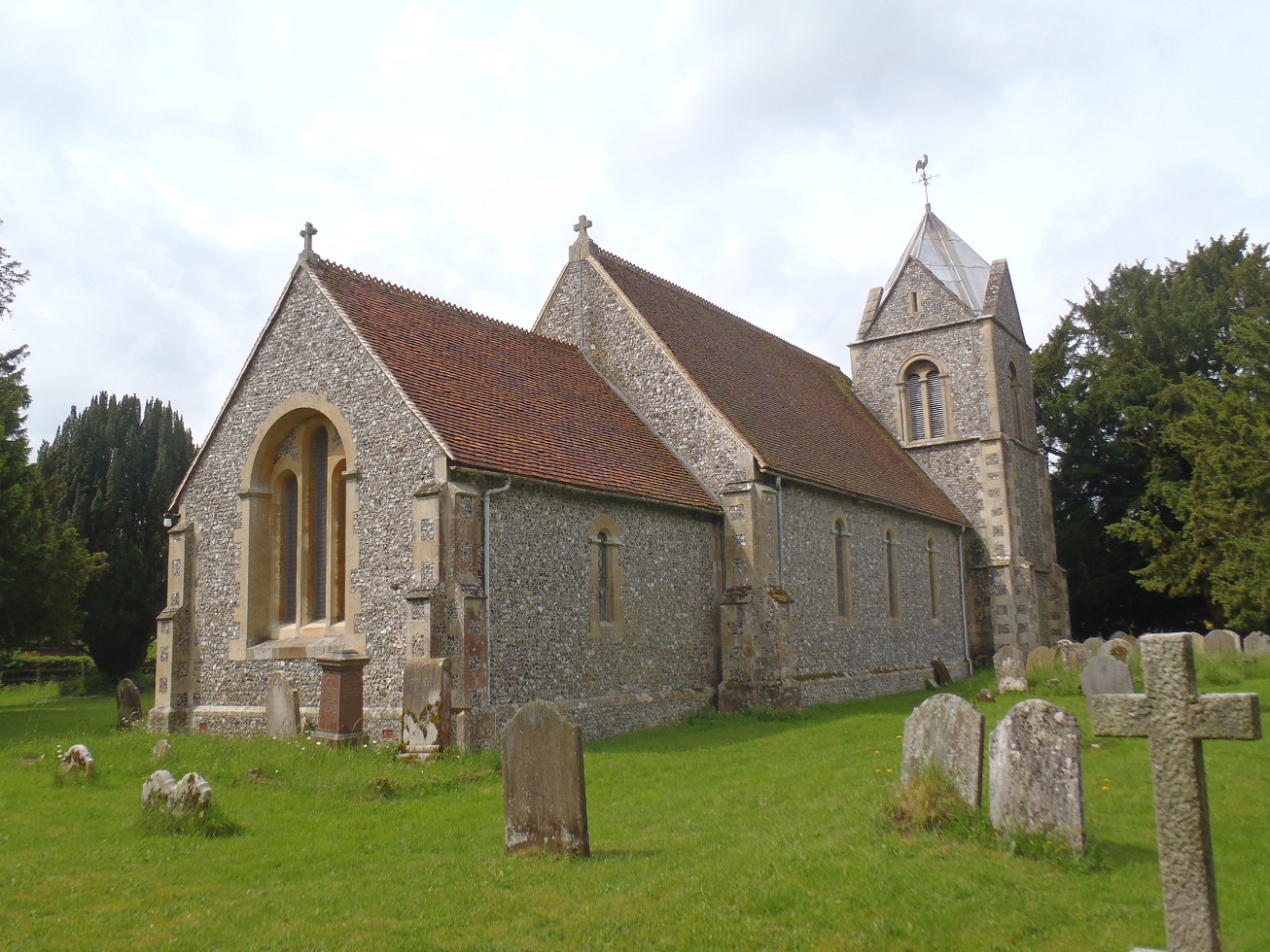
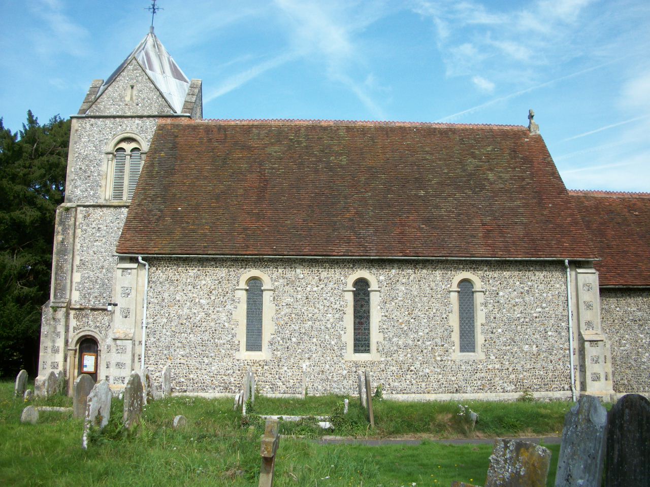
| Description | : | St. Nicholas' was founded about 1130: the fine and sturdy Norman (or Romanesque) chancel arch has been dated to this time. The solid, metre wide walls also indicate a Twelfth Century origin. In 1846/7 the building was substantially repaired; then the original Norman windows, together with at least one later (perhaps Perpendicular) window, that still survived were replaced with modern Norman look-alikes, and the former west porch was removed and the tower was added. There are five bells, the two oldest date from 1602 and 1662 and three late Victorian bells were installed in 2010, when the bell dating from about... Read More |
frequently asked questions (FAQ):
-
Where is St Nicholas Churchyard?
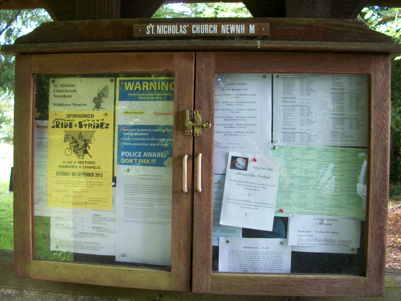
St Nicholas Churchyard is located at Church Path, Newnham, Basingstoke and Deane Borough ,Hampshire , RG27 9ALEngland.
-
St Nicholas Churchyard cemetery's updated grave count on graveviews.com?
120 memorials
-
Where are the coordinates of the St Nicholas Churchyard?
Latitude: 51.2806190
Longitude: -0.9922190
Nearby Cemetories:
1. St. Swithun Churchyard
Nately Scures, Basingstoke and Deane Borough, England
Coordinate: 51.2719600, -1.0022200
2. St Stephen Churchyard
Up Nately, Basingstoke and Deane Borough, England
Coordinate: 51.2627500, -0.9971500
3. St John the Evangelist Churchyard
Hook, Hart District, England
Coordinate: 51.2833900, -0.9601300
4. Hook Cemetery
Hook, Hart District, England
Coordinate: 51.2840400, -0.9602700
5. Rotherwick Churchyard
Rotherwick, Hart District, England
Coordinate: 51.3010190, -0.9806320
6. St. Mary's Churchyard
Greywell, Hart District, England
Coordinate: 51.2536700, -0.9719700
7. Old Basing Cemetery
Old Basing, Basingstoke and Deane Borough, England
Coordinate: 51.2736710, -1.0397679
8. St Mary Churchyard
Mapledurwell, Basingstoke and Deane Borough, England
Coordinate: 51.2538100, -1.0161300
9. St Mary Churchyard
Old Basing, Basingstoke and Deane Borough, England
Coordinate: 51.2715280, -1.0467700
10. St. Leonard's Churchyard
Sherfield on Loddon, Basingstoke and Deane Borough, England
Coordinate: 51.3061100, -1.0376400
11. St Mary Churchyard
Hartley Wespall, Basingstoke and Deane Borough, England
Coordinate: 51.3197500, -0.9996400
12. All Saints Churchyard
Odiham, Hart District, England
Coordinate: 51.2529200, -0.9407000
13. Odiham Cemetery
Odiham, Hart District, England
Coordinate: 51.2521010, -0.9360700
14. Mattingley Churchyard
Mattingley, Hart District, England
Coordinate: 51.3164700, -0.9447000
15. St. Mary's Churchyard
Upton Grey, Basingstoke and Deane Borough, England
Coordinate: 51.2307800, -1.0025200
16. All Saints Churchyard
Tunworth, Basingstoke and Deane Borough, England
Coordinate: 51.2312600, -1.0367400
17. St Mary the Virgin Churchyard
Winchfield, Hart District, England
Coordinate: 51.2764500, -0.9012600
18. St Mary Churchyard
Basingstoke, Basingstoke and Deane Borough, England
Coordinate: 51.2652010, -1.0818960
19. St Mary Churchyard
Hartley Wintney, Hart District, England
Coordinate: 51.2970100, -0.9003200
20. St Michael Churchyard
Heckfield, Hart District, England
Coordinate: 51.3389940, -0.9642430
21. St. Michael's Churchyard
Basingstoke, Basingstoke and Deane Borough, England
Coordinate: 51.2652400, -1.0885200
22. St Andrew Churchyard
South Warnborough, Hart District, England
Coordinate: 51.2198000, -0.9684700
23. South View Cemetery
Basingstoke, Basingstoke and Deane Borough, England
Coordinate: 51.2693510, -1.0911620
24. St Lawrence Churchyard
Weston Patrick, Basingstoke and Deane Borough, England
Coordinate: 51.2170740, -1.0121040