
| Memorials | : | 3 |
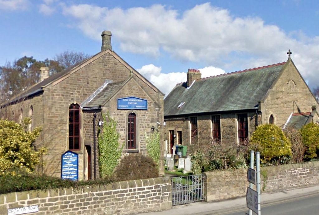
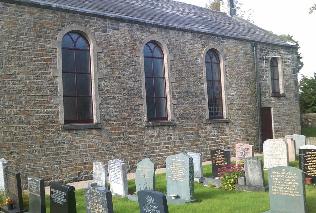
| Location | : | Garstang, Wyre Borough, England |
| Coordinate | : | 53.9026500, -2.7747400 |
frequently asked questions (FAQ):
-
Where is Garstang United Reformed Churchyard?
Garstang United Reformed Churchyard is located at Croston Rd Garstang, Wyre Borough ,Lancashire ,England.
-
Garstang United Reformed Churchyard cemetery's updated grave count on graveviews.com?
3 memorials
-
Where are the coordinates of the Garstang United Reformed Churchyard?
Latitude: 53.9026500
Longitude: -2.7747400
Nearby Cemetories:
1. St. Thomas Churchyard
Garstang, Wyre Borough, England
Coordinate: 53.8992300, -2.7764500
2. St Mary and St Michael Catholic Churchyard
Garstang, Wyre Borough, England
Coordinate: 53.8975610, -2.7706170
3. All Saints Parish Churchyard
Barnacre with Bonds, Wyre Borough, England
Coordinate: 53.9079120, -2.7430580
4. St. Helen's Churchyard
Kirkland (Churchtown), Wyre Borough, England
Coordinate: 53.8790700, -2.7901000
5. Kirkland Strict and Particular Baptist Chapel
Nateby, Wyre Borough, England
Coordinate: 53.8961210, -2.8170130
6. St. Peter's Churchyard
Garstang, Wyre Borough, England
Coordinate: 53.9309510, -2.7591190
7. St Thomas Churchyard
Claughton-on-Brock, Wyre Borough, England
Coordinate: 53.8752030, -2.7199160
8. St. Michael’s Churchyard
St Michael's on Wyre, Wyre Borough, England
Coordinate: 53.8628050, -2.8195430
9. Forton United Reform Church Cemetery
Forton, Wyre Borough, England
Coordinate: 53.9547940, -2.7813920
10. St Paul's Churchyard
Forton, Wyre Borough, England
Coordinate: 53.9543760, -2.7605890
11. St. Hilda's Churchyard
Bilsborrow, Wyre Borough, England
Coordinate: 53.8522170, -2.7420090
12. Saint Michael's and All Angels Church Cemetery
Cockerham, City of Lancaster, England
Coordinate: 53.9602092, -2.8204877
13. Church of St James
Goosnargh, City of Preston, England
Coordinate: 53.8657750, -2.6719410
14. St. Peters Churchyard
Inskip with Sowerby, Wyre Borough, England
Coordinate: 53.8347100, -2.8175200
15. St William of York Church
Pilling, Wyre Borough, England
Coordinate: 53.9235047, -2.8934617
16. St. Eadmer's Churchyard
Bleasdale, Wyre Borough, England
Coordinate: 53.9040530, -2.6504390
17. St. Mary's Chapel Ellel Grange
Ellel, City of Lancaster, England
Coordinate: 53.9756944, -2.7918522
18. St Mark Churchyard
Dolphinholme, City of Lancaster, England
Coordinate: 53.9738730, -2.7378420
19. Inskip Baptist Churchyard
Inskip with Sowerby, Wyre Borough, England
Coordinate: 53.8353150, -2.8299610
20. St Mary Roman Catholic Churchyard
Great Eccleston, Wyre Borough, England
Coordinate: 53.8535420, -2.8710090
21. St. John’s Churchyard
Out Rawcliffe, Wyre Borough, England
Coordinate: 53.8741650, -2.8959310
22. St. Lawrence Churchyard
Barton, City of Preston, England
Coordinate: 53.8289213, -2.7366654
23. St Thomas with Elizabeth Churchyard
Thurnham, City of Lancaster, England
Coordinate: 53.9819990, -2.8159520
24. St Anne Churchyard
Great Eccleston, Wyre Borough, England
Coordinate: 53.8481413, -2.8835925